
Opening hours:Today closed
Place:Arzl im Pitztal
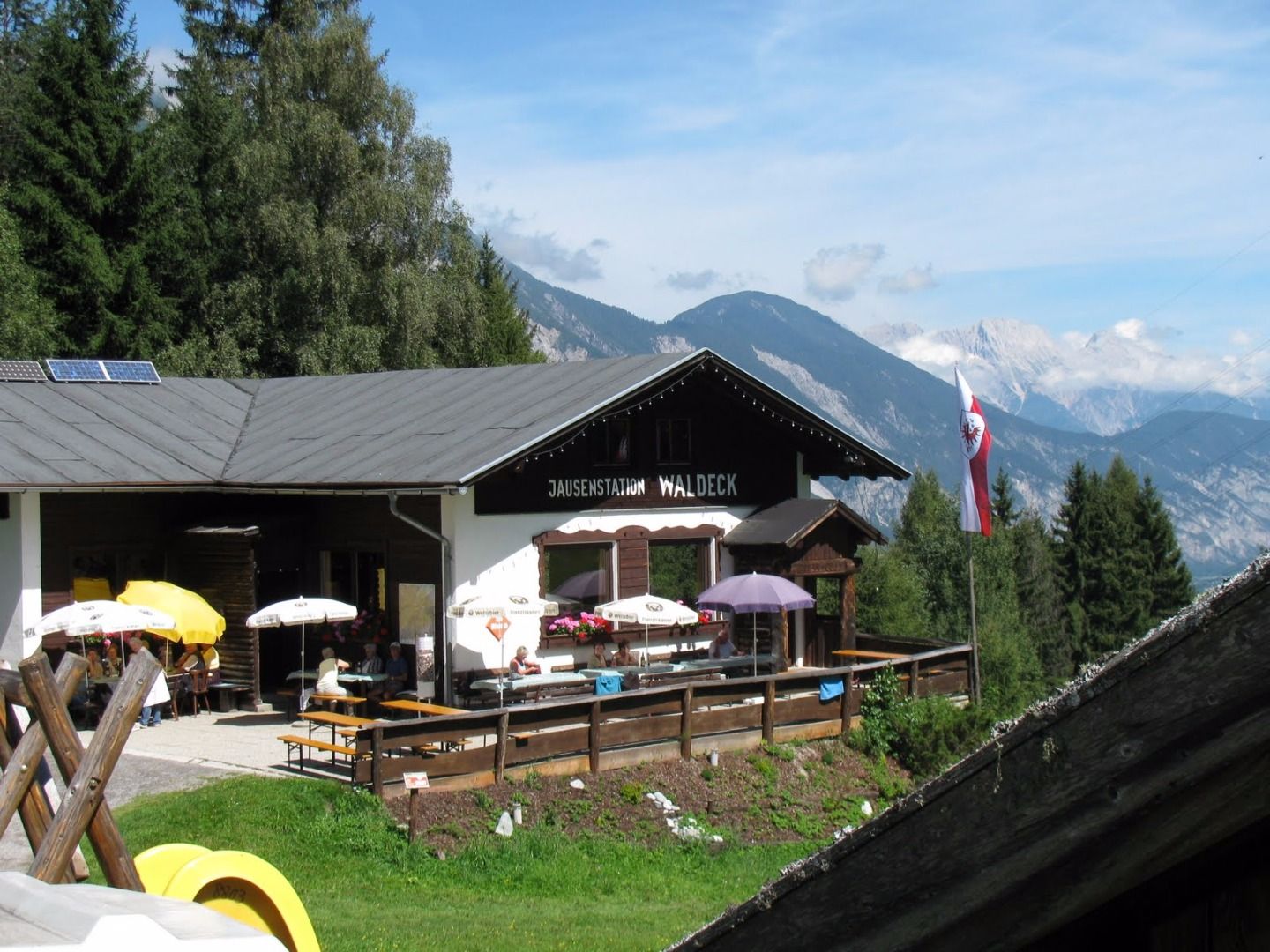
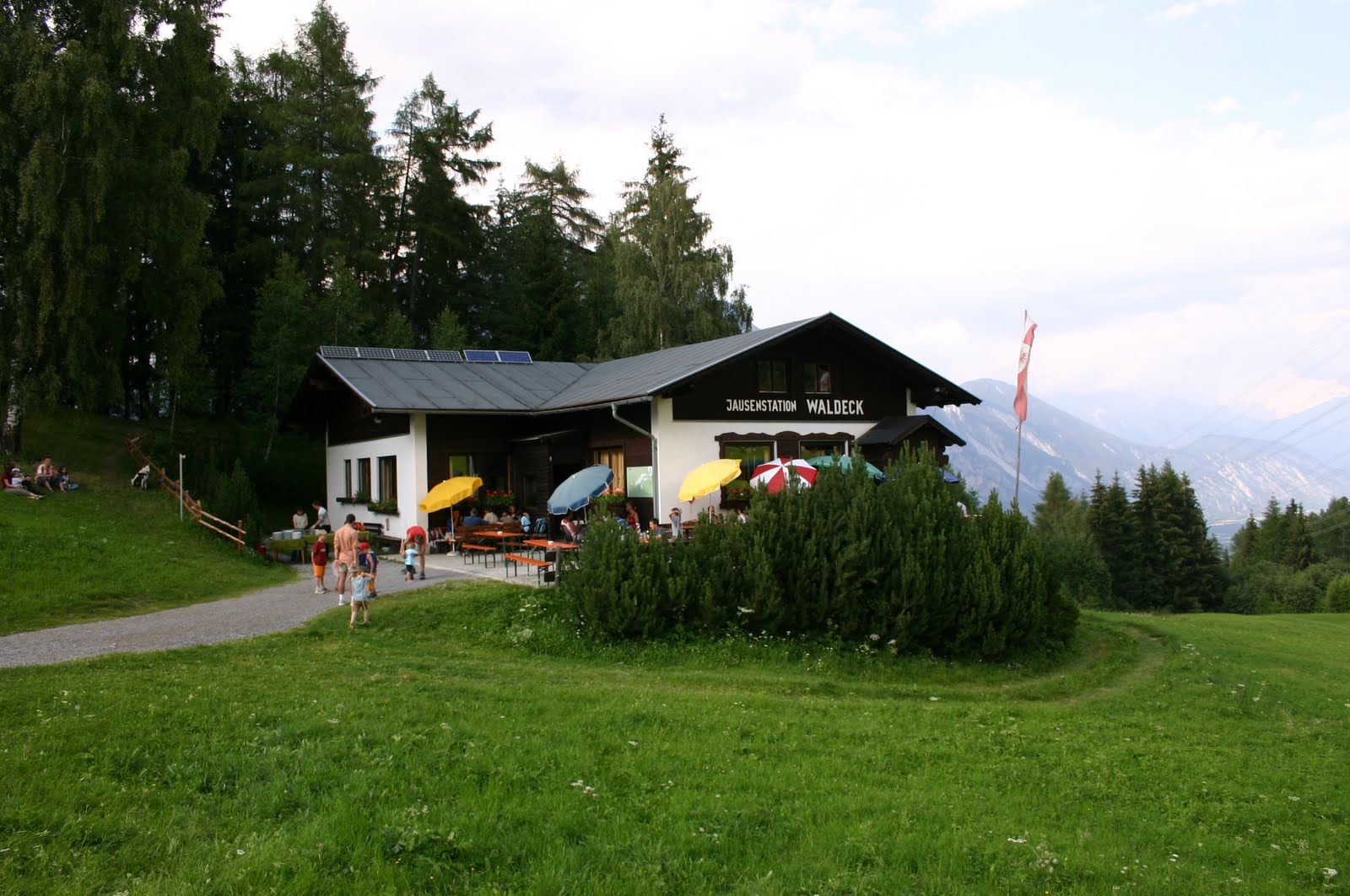
:Restaurant, Alpine pasture / hut / mountain restaurant
Wenns – Oberleins – Jausenstation Waldeck – Wenns
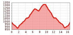
Take a right behind the school and walk towards the Pitze river. After the wooden bridge turn right at the chape l and after approx. 200 m turn left towards Unterleins. Pass the church and the bus stop and continue to walk on an agricultural road to Oberleins. Continue to walk on this track to Krabichl and to the catered mountain hut Jausenstation Waldeck. After that, follow the path to the right in the direction of the catered mountain hut Wenneralm and at the first fork, turn off towards Oberleins, then again to Krabichl and return to Wenns by the same route.


