
Difficulty:medium
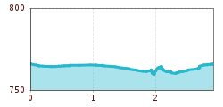
Length:10.1 kmDuration:11:20 hElevation uphill:1,554 m
This easy hike leads from the parish church of St Andrew in Zams through the Zammer Hinterfelder to the pedestrian bridge and then back to the starting point via Bachgasse.
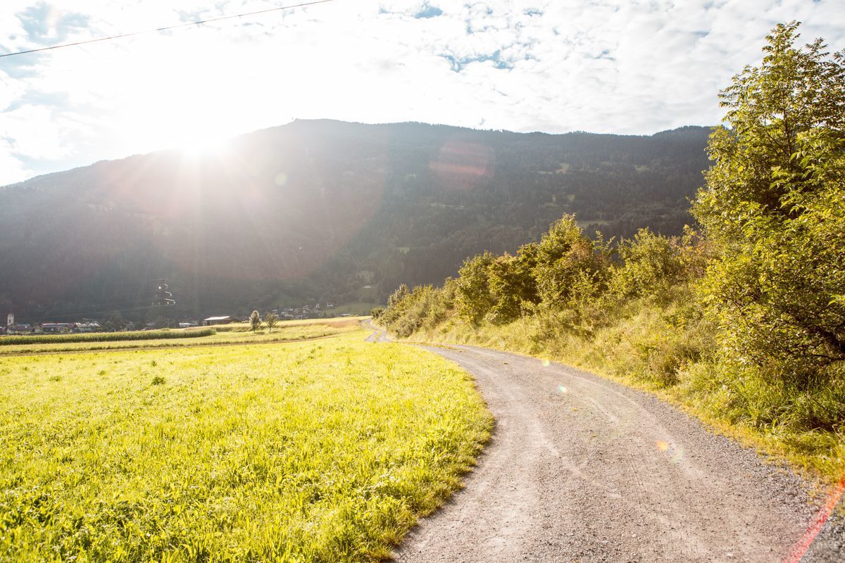
After the Zams parish church, follow Pfarrgasse for approx. 400 metres, then turn left at the junction to the Zams secondary school. Following this road, you reach the Zammer fields, from where walking and agricultural paths lead to the riverbed of the Inn to the west. Here you keep
right and walk in a semicircle around the fields and
around the fields and meadows, along the banks of the Inn in an easterly direction towards the Inn bridge. Directly at the bridge, take the steps up to the main road and cross the Inn on this. On the other bank, turn left into the settlement and after approx. 50 metres turn left again to the subway of the Inn bridge. At the next cycle and pedestrian bridge, change sides of the river again. Walk along Bachgasse for approx. 450 m towards the town centre, turn right at the crossroads and return to the starting point.


.jpg")


.jpg")
