.jpg")
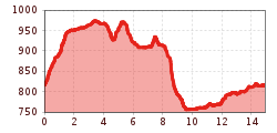
Difficulty:easy
Length:2.0 km
On forest roads, forest and meadow paths from the parish church to the Kronburg pilgrimage site. The way back leads via the Patscheid meadows to Zams and back to the starting point.
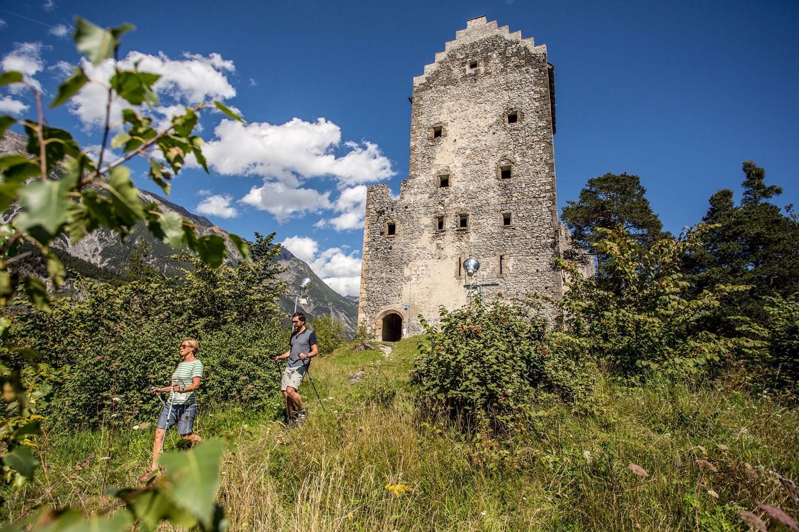
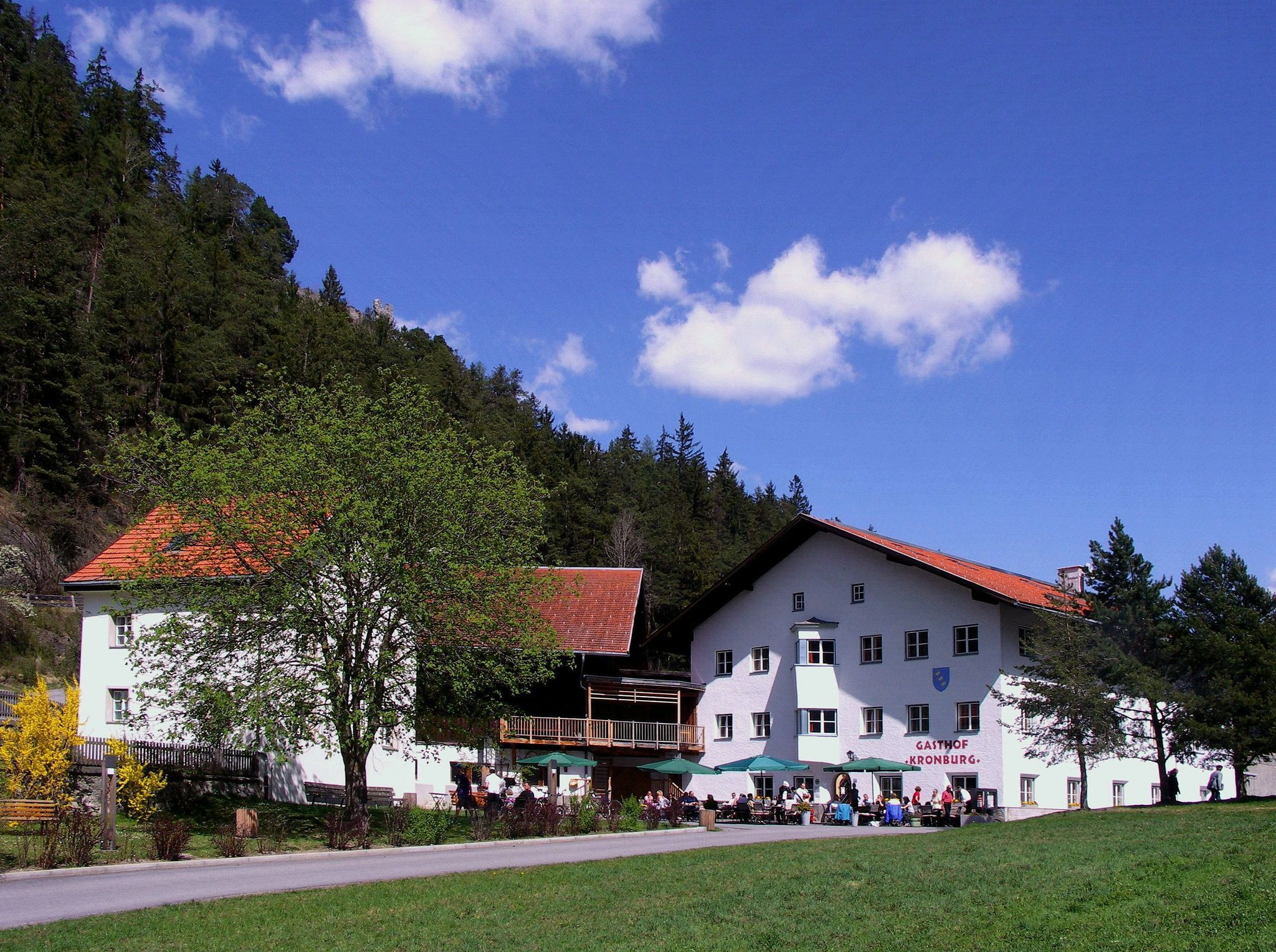
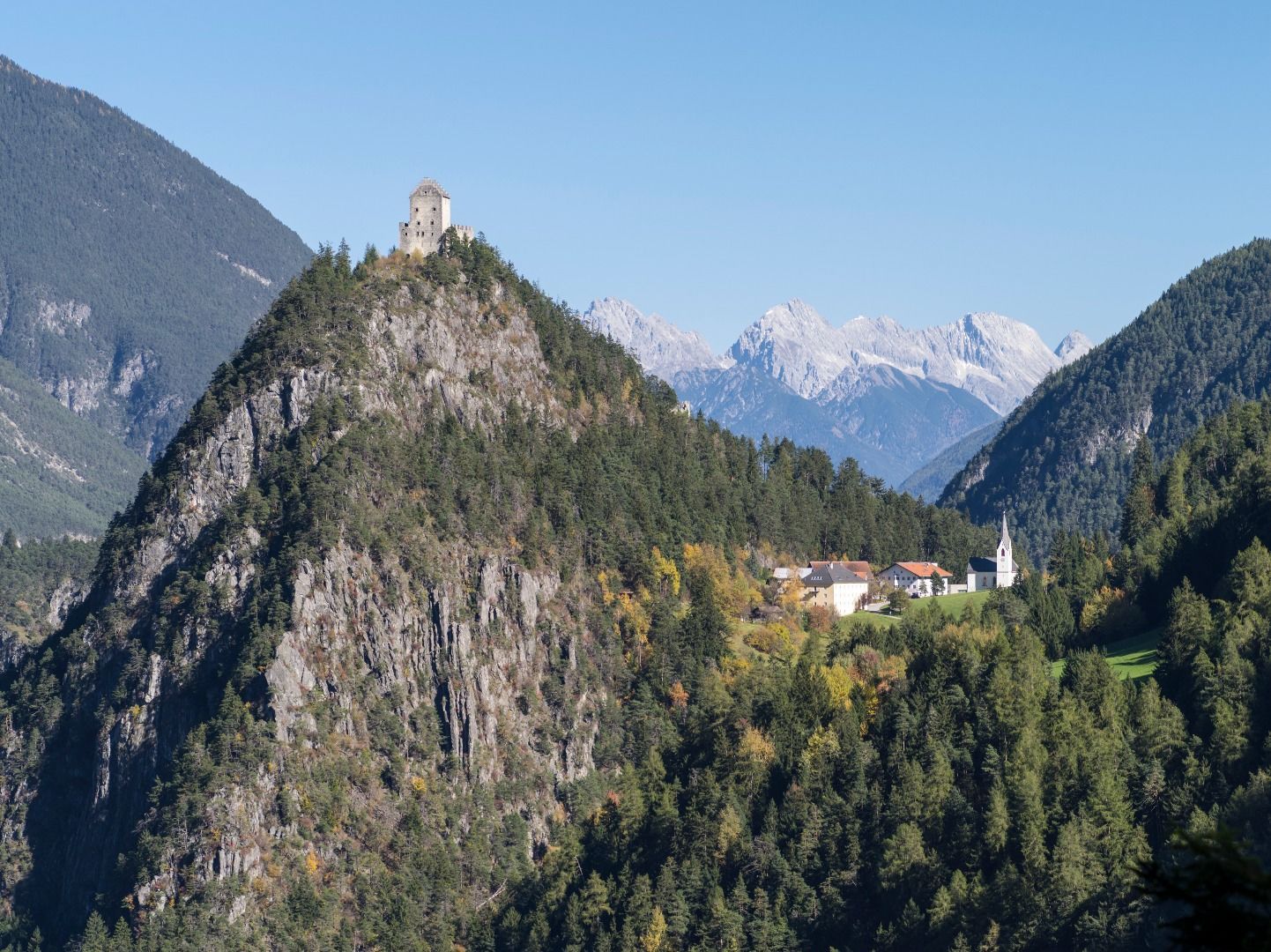
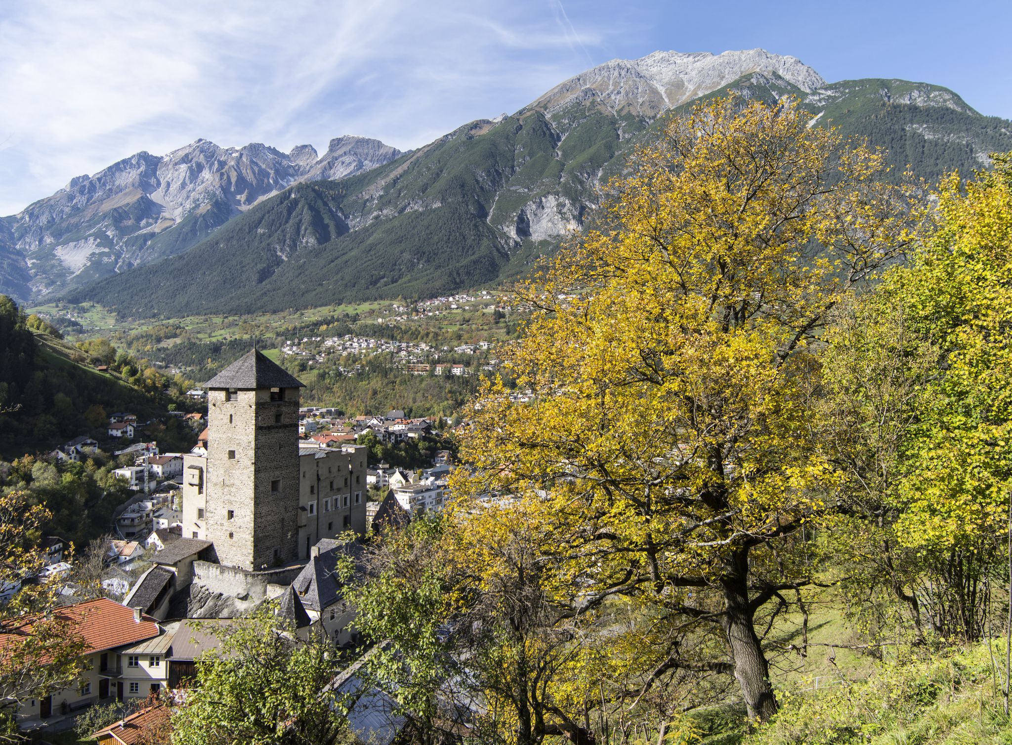
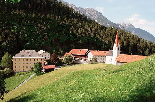
From Landeck parish church, head towards Landeck Castle and follow the Via Claudia Augusta to the Teichelweg junction, always uphill towards Trams, Landeck's local recreation area. After the Tramser Weiher pond, turn right onto Hammerlweg, a forest path, and follow this until you reach the tarmac road to Anreit. Once there, follow the road uphill to the right in the direction of Rifenal. At the fork in the road, keep left until you reach the junction with the goods road, which leads through shady forest to the beautiful pilgrimage site of Kronburg.
On the way back, after approx. 700 metres, a path branches off in the direction of Zammer Patscheid, which you follow across the Patscheid meadows to Zams hospital. From the hospital, follow the former railway line for approx. 650 m to the fountain, then turn left uphill to Oberengereweg and walk approx. 2.8 km through the Kuckuckswald forest and along the forest path behind the Pontlatz barracks back to Landeck parish church.


.jpg")


