
Schwierigkeit:difficult
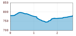
Länge:3.3 kmDauer:1:00 hHöhenmeter bergauf:105 m
A gentle walk around Mühltal
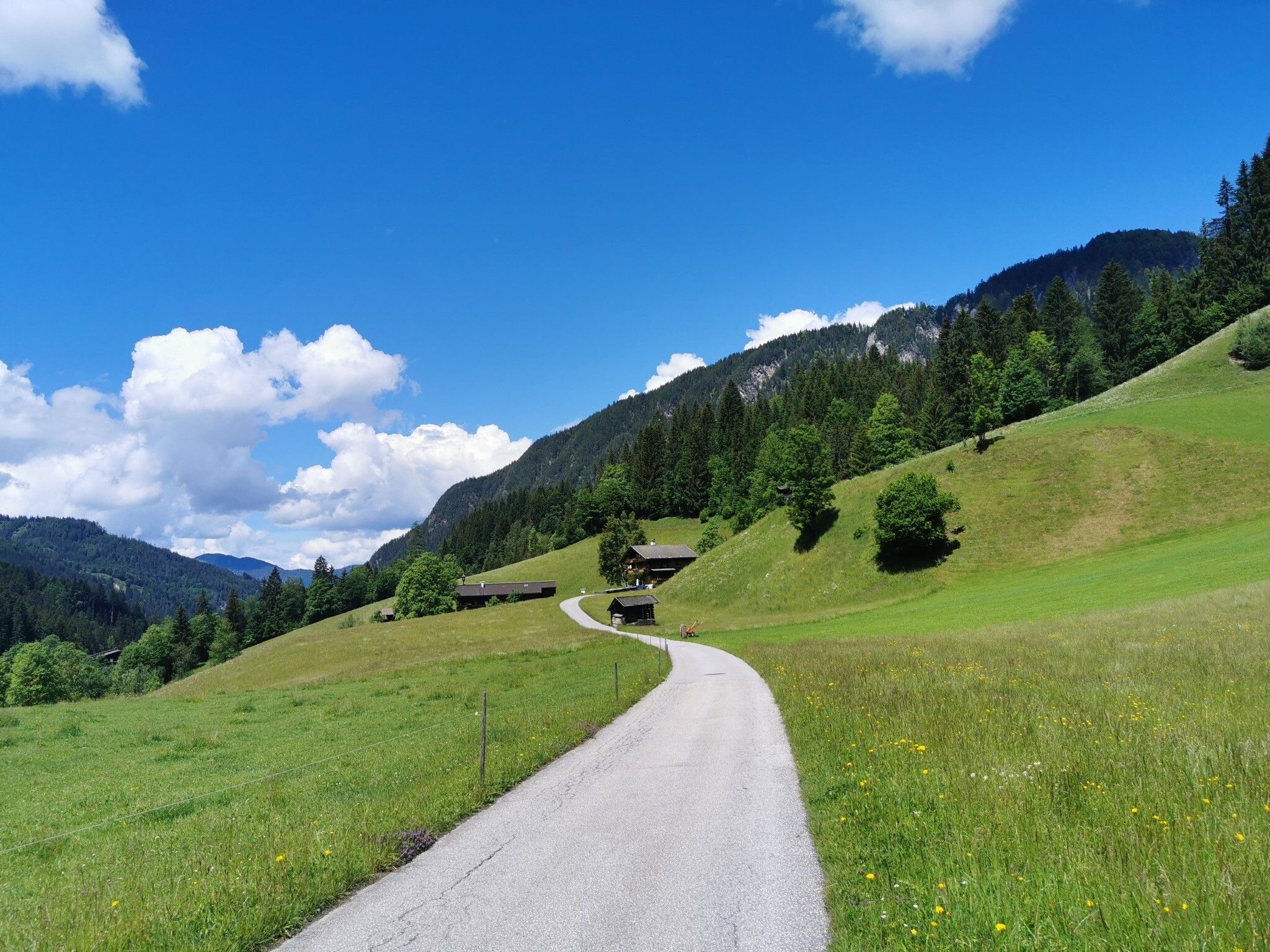
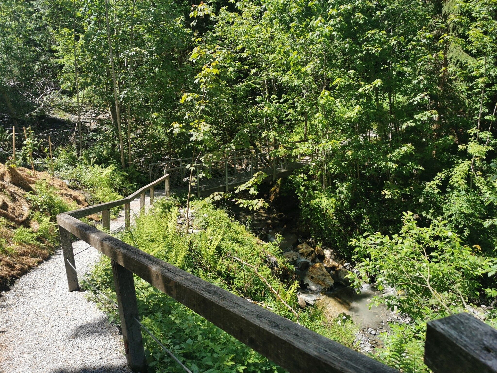
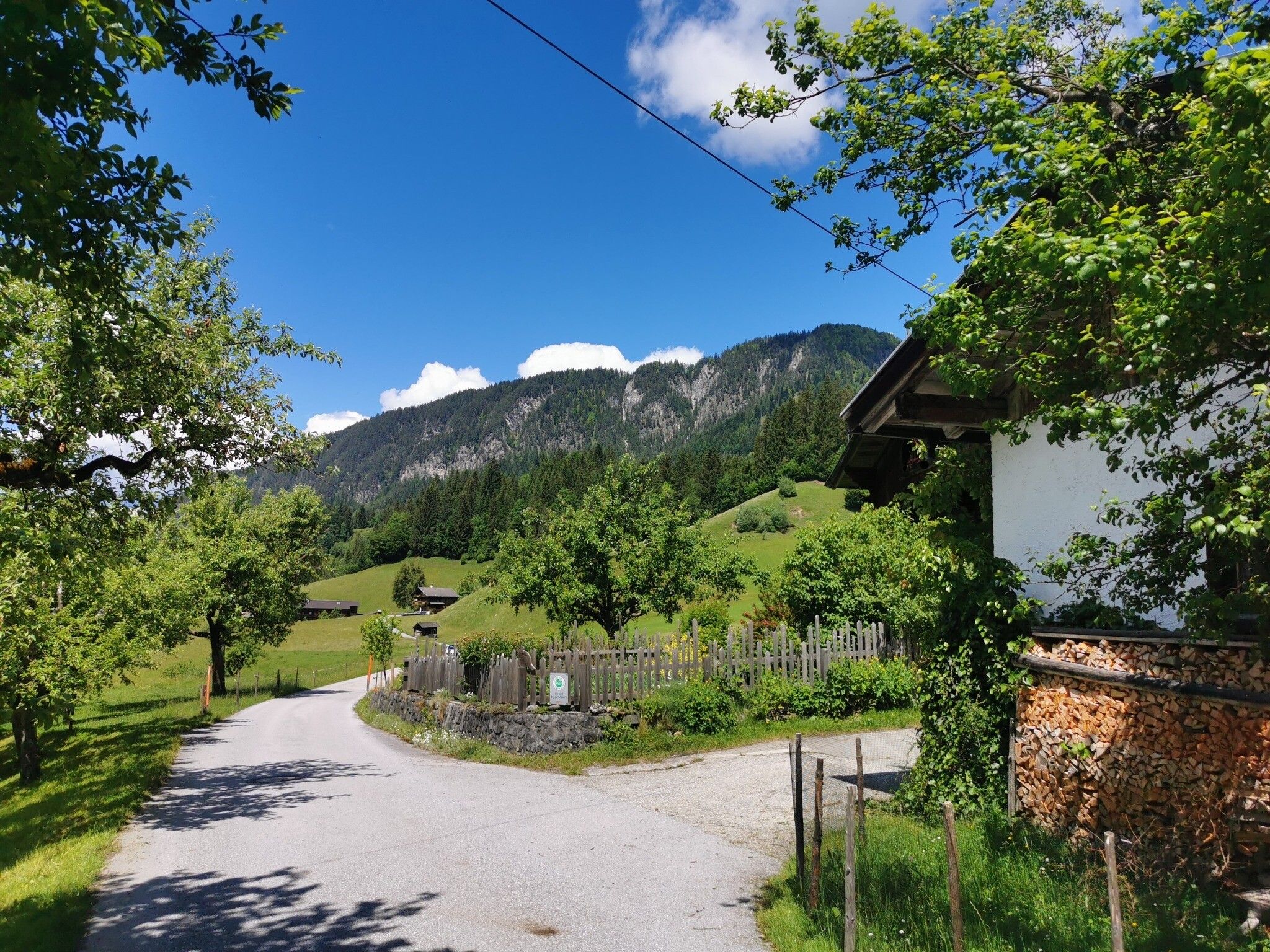

Start at the Hotel Fäberwirt in Mühltal and go right on the road to Thierbach as far as the Hotel Bergkristall. Turn right and take the path through the woods down to the Klamm Strasse. Return via Ebersleith and Achweg.


.jpg")


 neu.jpg")
")


.jpg")

")
