
Opening hours:Open today
Place:Leutasch
:Restaurant
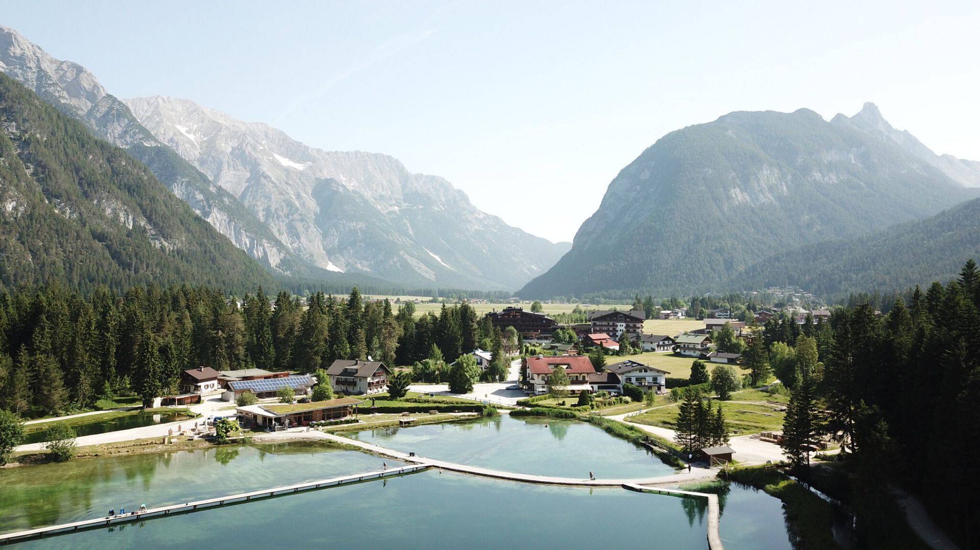
Easy village running loop from Leutasch to the idyllic Weidachsee and along the Achweg, featuring the Leutascher Ache and panoramic views of the Hohe Munde and the Wetterstein Mountains.
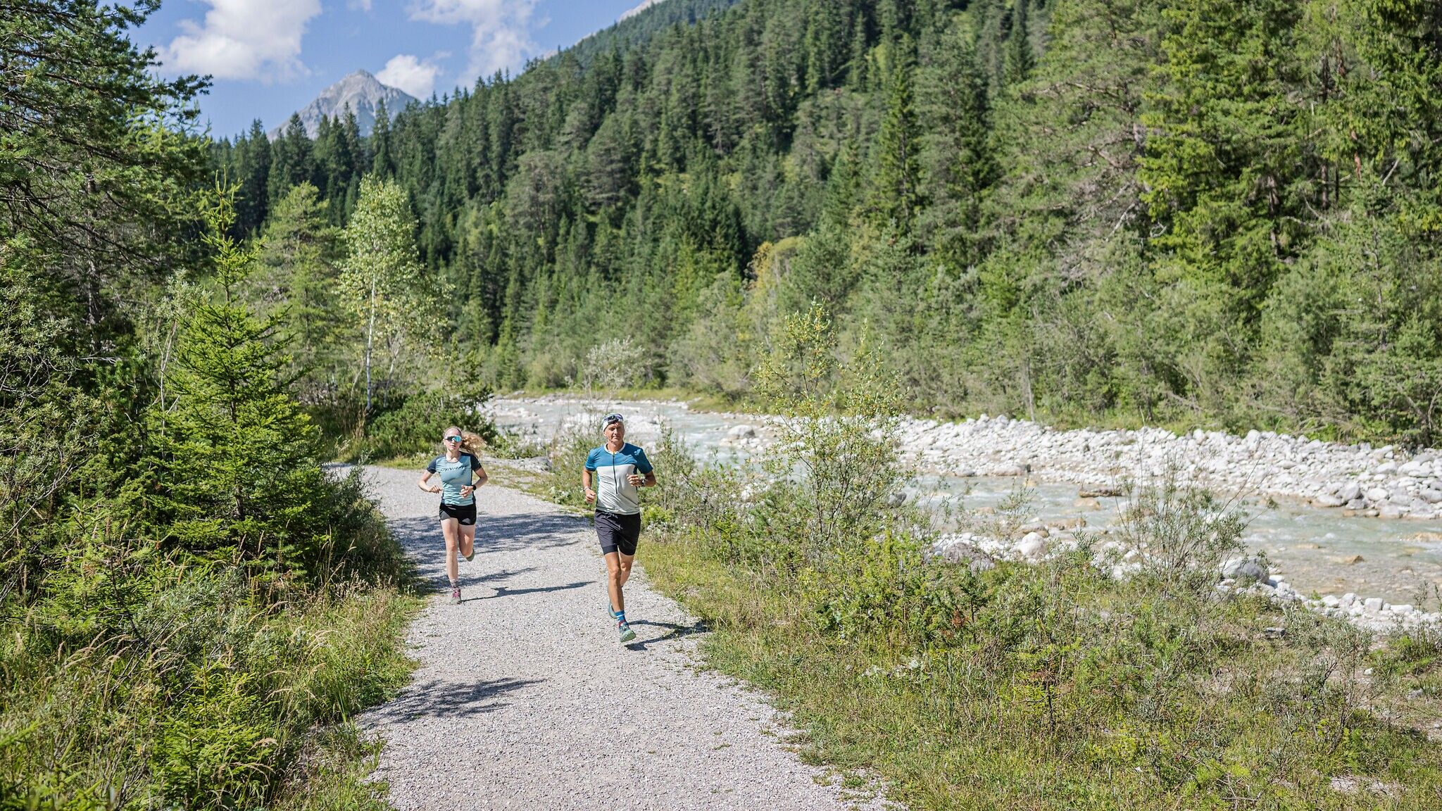
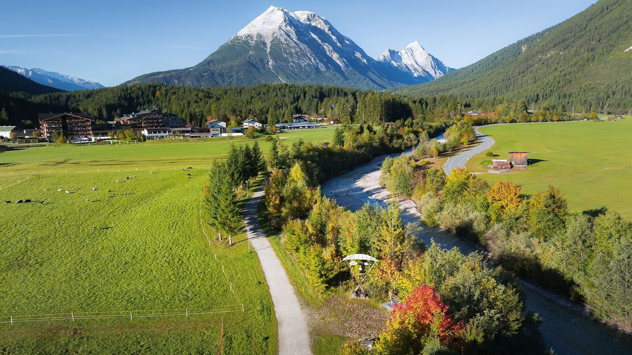
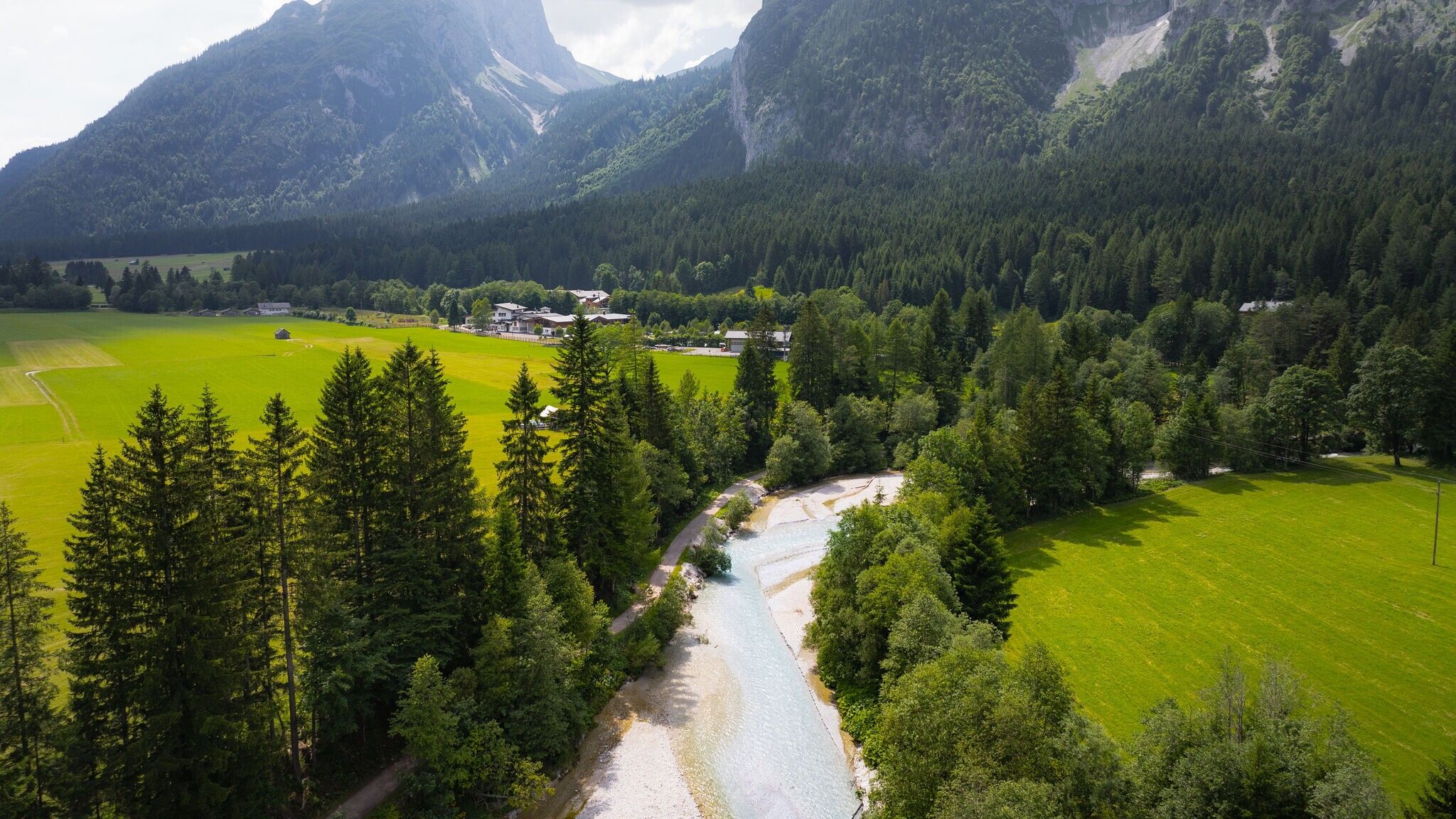
This village running loop leads through part of the Leutasch valley and combines moments of water, forest and quiet enjoyment in a relaxed tour at the foot of the Wetterstein Mountains. The loop can be run in both summer and winter.
The starting point is at the music pavilion in Weidach, easily accessible by car (car park P15) or by bus to the stop Weidach Zentrum. A short detour to the natural biotope behind the pavilion is worthwhile before following the signs towards “Weidachsee” at the nearby road junction.
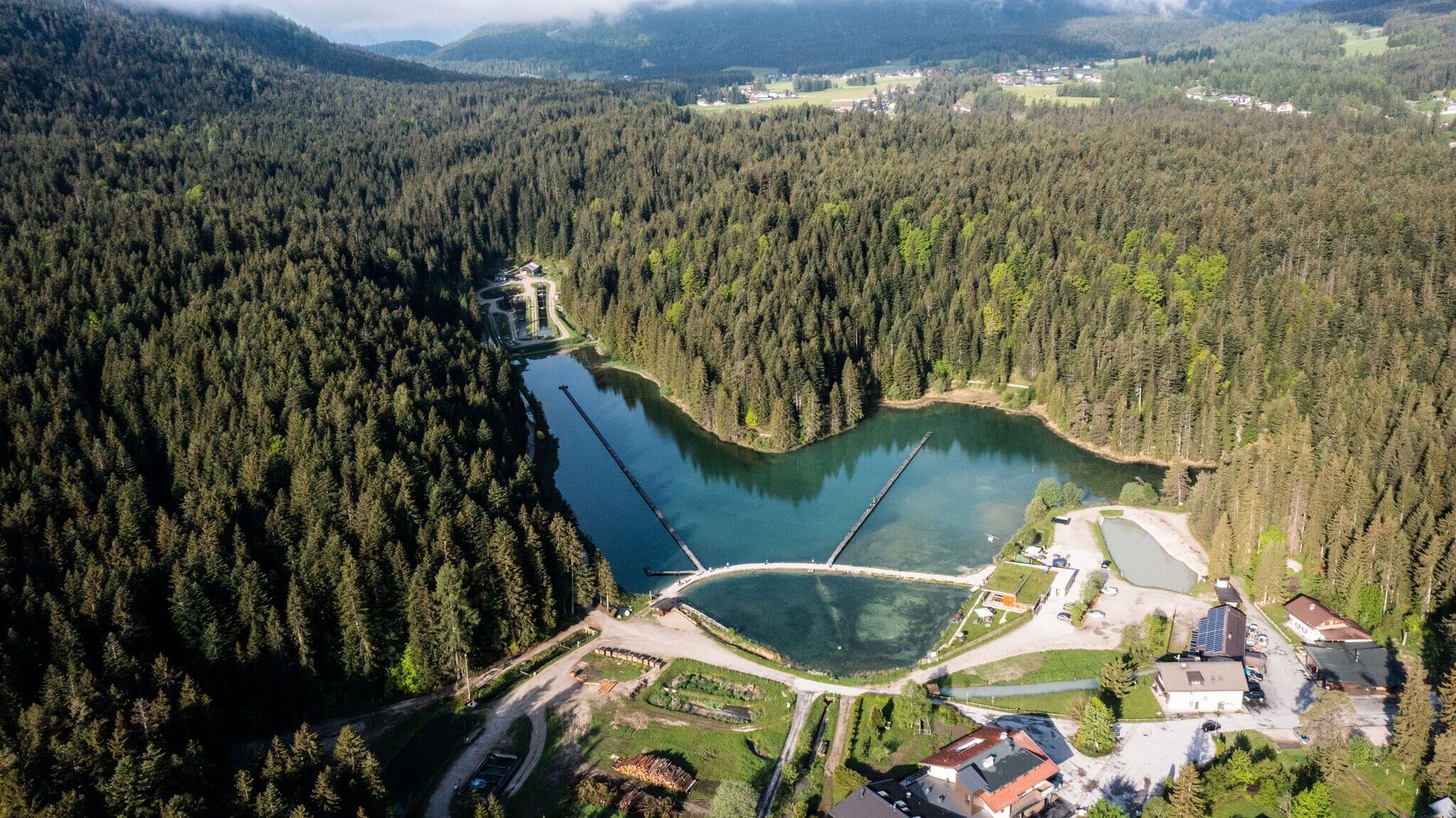
You pass the Katzner Chapel and turn left again opposite the entrance of Hotel Quellenhof. The path leads directly to the shore of the idyllic Lake Weidachsee – a peaceful section that feels especially pleasant in summer. Passing the lakeside café and fishery, the route continues left along the lakeside promenade. At the southern shore, the path leads into the forest, where it forms a small loop. A short, steeper section follows before the trail becomes flat again.
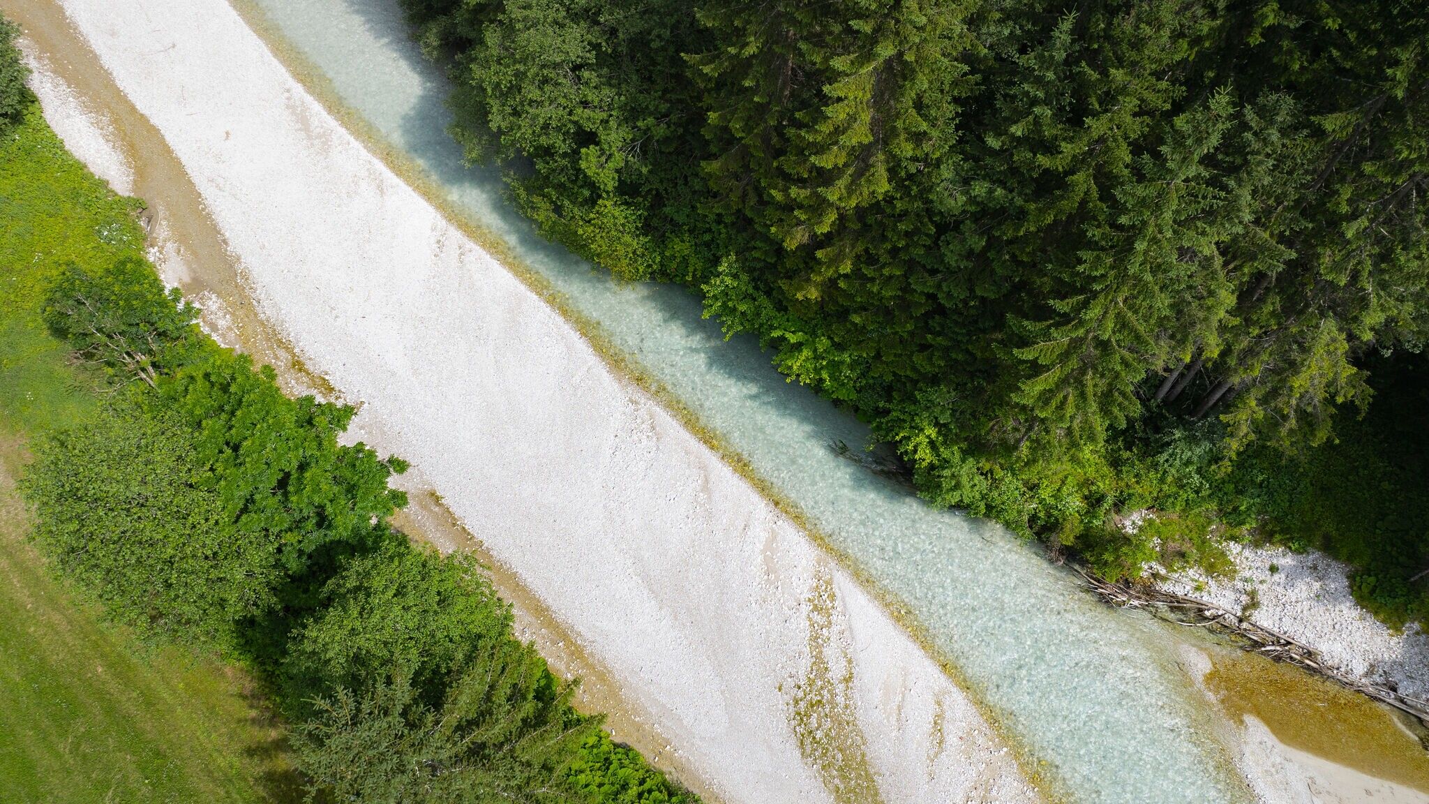
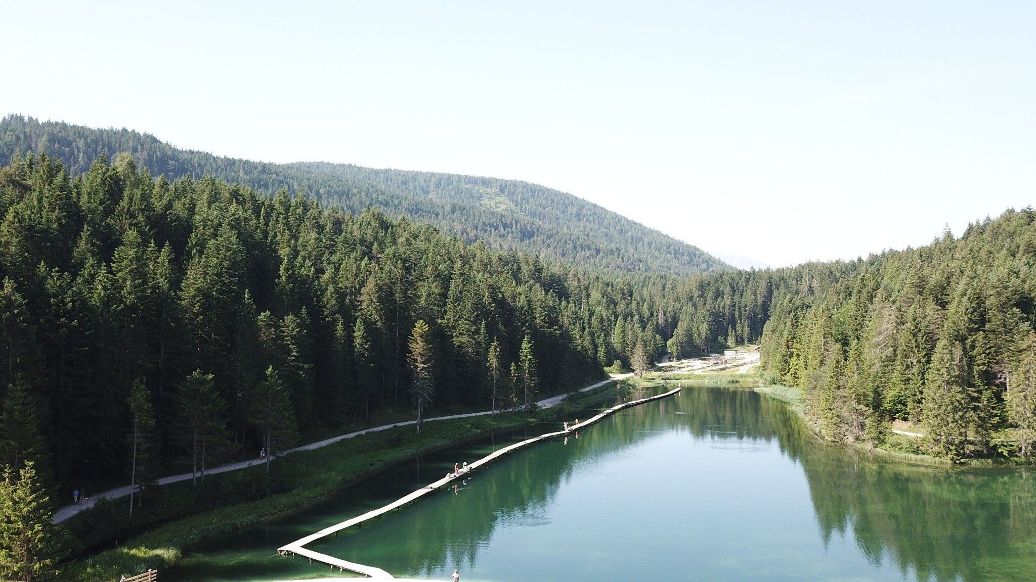
At the junction, keep left towards Kirchplatzl. From here, you reach the Leutascher Ache, which accompanies the entire valley and provides a refreshing breeze in summer. From this point, follow the river downstream – a beautiful section with steady, even running passages.
You pass the Alpenbad Leutasch and eventually reach the intersection in the Weidach district, with the Norz sports shop on the corner. Turn right here and follow the sidewalk back to the starting point at the music pavilion.
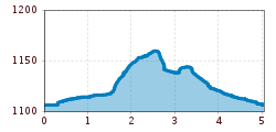
The indicated running time is a guideline and depends on personal fitness.


.jpg")


