Winter hike Moaalmweg Kals

closed
Kals am Großglockner / Glockner Group
Difficulty ratings: medium
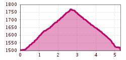
Route length: 5.3 km
Duration: 2:00 h

Moaalmweg Kals

Tour information

  • Requirement: medium
  • Length: 5.3 km
  • Duration: 2:00 h
  • Elevation uphill:273 hm
  • Elevation downhill:273 hm
Highest point1,775 m

Starting point

Parkplatz Moalm

Finishing point

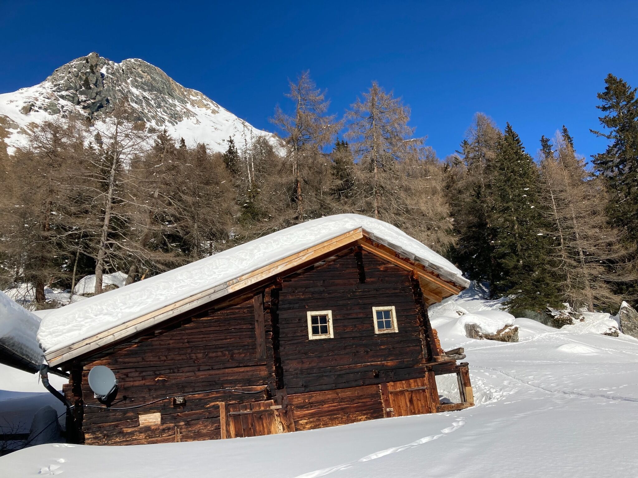
MoaAlm Mountain Retreat
  • Fitness level 3 / 6
  • Technique 3 / 6

Features

  • Suitable for families

Best time of year

  • January
  • February
  • March
  • April
  • May
  • June
  • July
  • August
  • September
  • October
  • November
  • December

Trail condition

präparierter Schnee

Equipment

Basic equipmentformountainhikingincludessturdy hiking bootswith a goodtread, a 30-35 literbackpack, and functionalclothingbased on thelayeringprinciple, includingsufficient spare clothes. Essential itemsare rain, cold, and sunprotection, adequatefluids and food, aswellas a first-aid kit and a charged mobile phone. A mapor a GPS devicesupportsorientation. 

The informationservesas a guideline and does not claimtobe exhaustive. Equipment mustalwaysbeadaptedtothe planned route, weatherconditions, season, naturalhazards, environmental influences, and personal needs. 


Source: TVB Osttirol

Description

A wonderful, variety-packed hiking path at the end of the fascinating Kalsertal-valley.
 

Nearby huts and mountain restaurants

Weather

Snow depth
Now: 0 cm,
Next snowfall: No data available
Go to snow report

More tours in the surrounding area

Newsletter

The mountain is calling? So does our newsletter!

In our monthly newsletter we reveal the best holiday tips for Tyrol.