
Opening hours:Open today
Place:Pertisau am Achensee
:Restaurant, Alpine pasture / hut / mountain restaurant:Breakfast, vegetarian, vegan
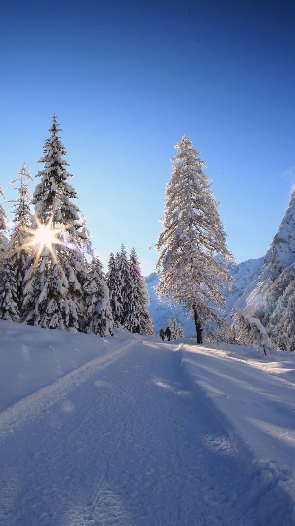
This long, easy hike follows gentle terrain with minimal elevation changes. The scenic trail winds through the Falzthurntal valley to the charming Gramai Alm at its end.
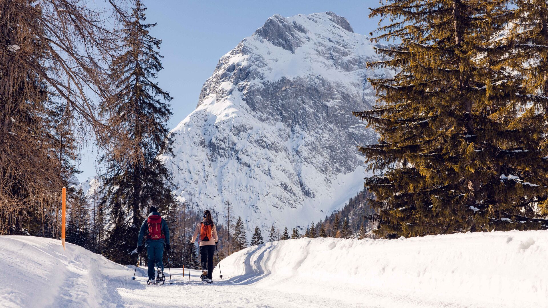
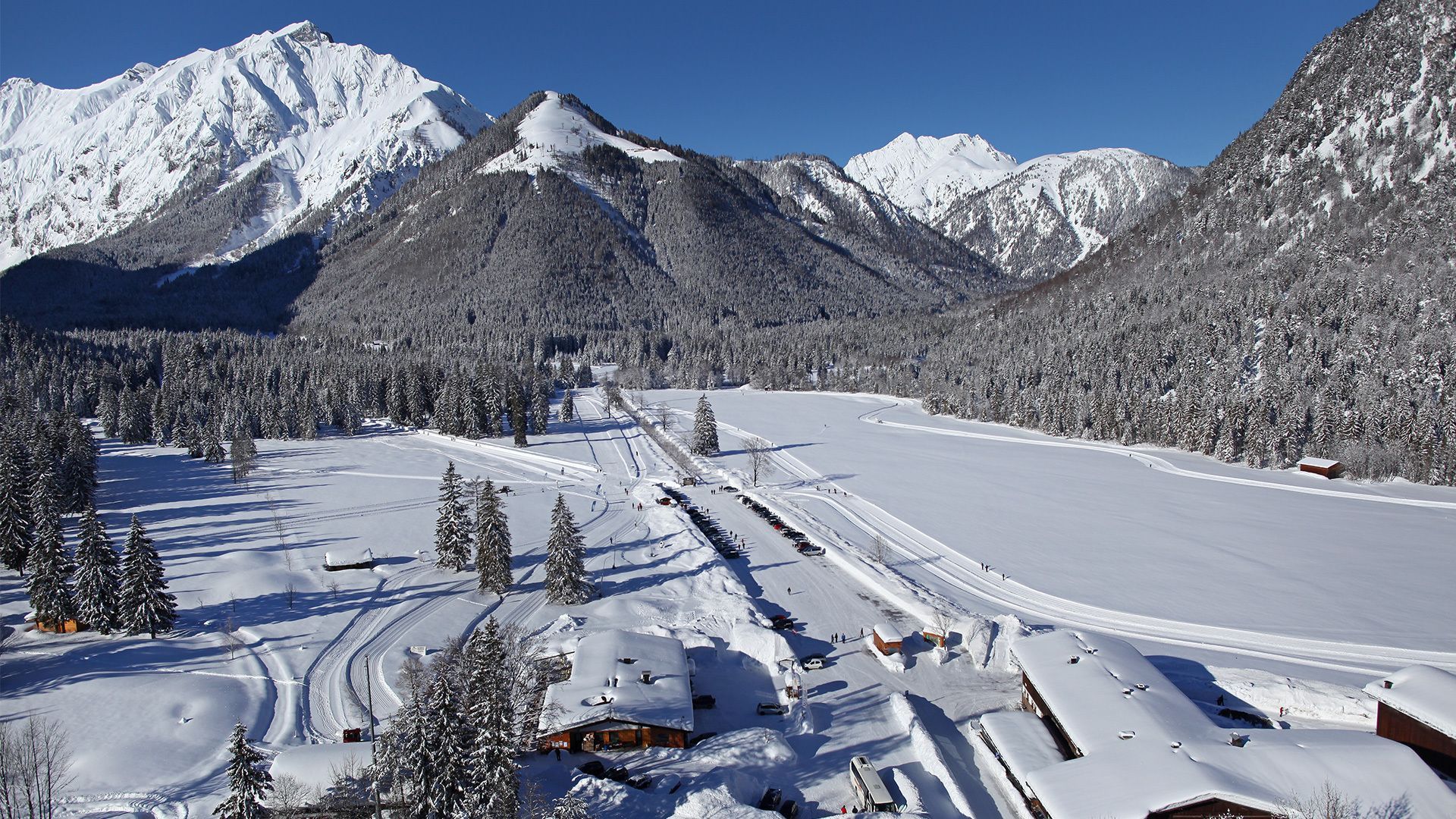
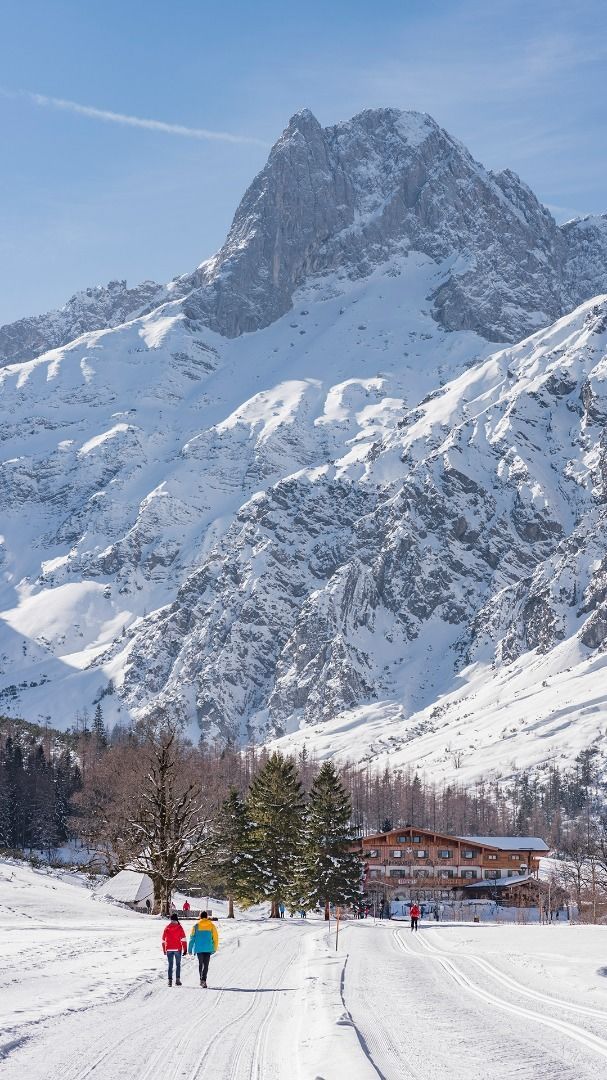
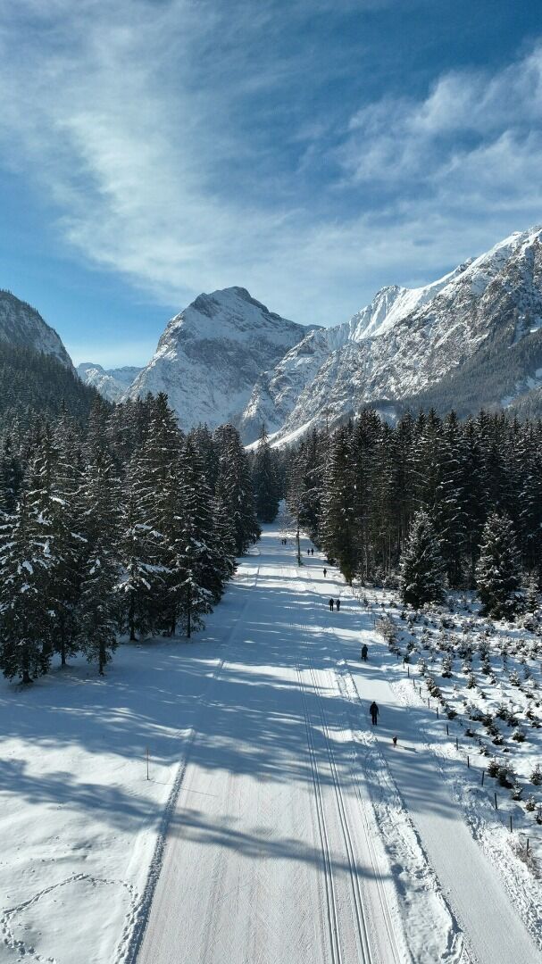
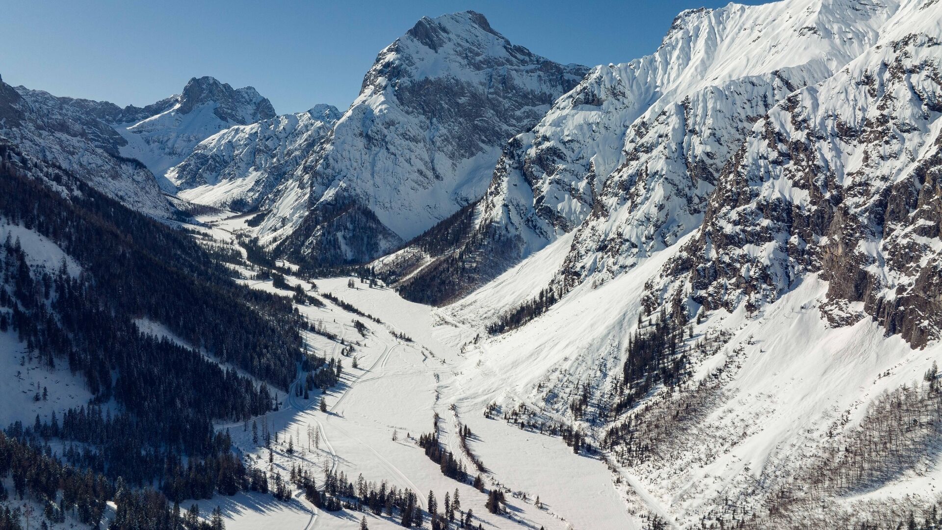
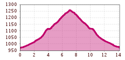
From the toll booth at the entrance to the Karwendel valleys (cross-country skiing centre) in Pertisau, walk to the end of the car park. Turn left and follow the asphalt footpath to the Falzthurnalm mountain hut (1,077 metres). From here, a hiking trail takes you through alpine meadows to the Gramai Alm mountain hut (1,263 metres). The return is via the same route.
The path from Pertisau to the Falzthurnalm is suitable for pushchairs and wheelchairs.
Notice: Walking time varies depending on snow conditions.
Take the regional bus (line 8332 or 390) to Pertisau and get off at the "Pertisau Karwendeltäler" stop.
Karwendeltäler car park in Pertisau (paid parking)


.jpg")


 Mirja Geh (26).jpg")


.jpg")
.jpg")

.jpg")


