
Opening hours:Today closed
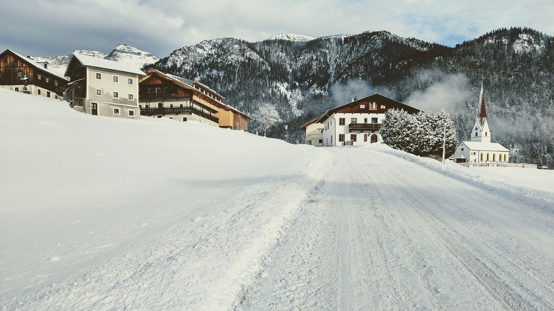
Place:Steinberg am Rofan
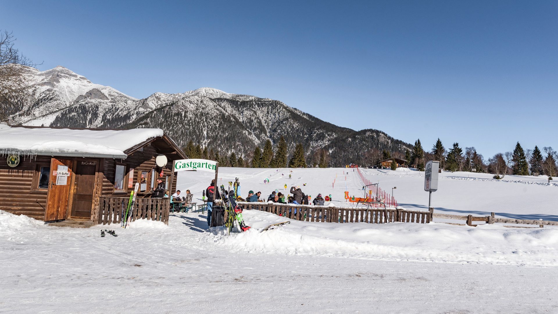
:Restaurant
This route winds through forests and meadows with some stunning views of the Guffert and the Rofan mountains.
The marked winter hiking trail starts at the parish church in Steinberg and follows the local road towards the Rofan lifts II, ending at the festival hall. At the sign for the Steinberg cross-country skiing centre, turn right onto the prepared winter hiking trail. The route leads behind the festival hall and follows the marked winter hiking trail (please avoid walking on the cross-country ski trail) before looping back to the parish church.
This peaceful trail winds through serene forests and open meadows, offering occasional views of the Guffert and, in some sections, stunning vistas of the Rofan mountain range.
Take the regional bus (line 4080 to Achenkirch, then transfer to line 7801) to Steinberg am Rofan, near the parish church and municipal office. Alight at the “Steinberg am Rofan Kirche" stop.
Car park Gemeindeamt Steinberg (free of charge)


.jpg")
 TVB Kitzbüheler Alpen-Brixental (7).jpg")


 Mirja Geh (26).jpg")


.jpg")
.jpg")

