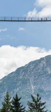
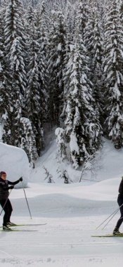
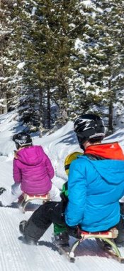
Hikes in St. Leonhard
Map

Show
on mapArzler Alm - Tiefental-Alm
on mapArzler Alm - Tiefental-Alm
Alpine hikes
Starting point: Scheibe car park, St. Leonhard im Pitztal
Length: 8km
Elevation uphill: 582m
Total hiking time: 4h
Difficulty rating: intermediate (red mountain trails)

Show
on mapMauchele Alm
on mapMauchele Alm
Alpine hikes
Starting point: Rehwald district/St. Leonhard
Length: 9km
Elevation uphill: 570m
Total hiking time: 2 h 30 min
Difficulty rating: easy (hiking trails)

Show
on mapThree-Day Pitztal Valley Meadow Hike
on mapThree-Day Pitztal Valley Meadow Hike
Multi-day hikes
Starting point: Wiese, St. Leonhard
Length: 40km
Elevation uphill: 3,340m
Duration: 3 day(s)
Difficulty rating: difficult (black trails)

Show
on mapTwo-Day Trek: Mandarfen – Sölden
on mapTwo-Day Trek: Mandarfen – Sölden
Multi-day hikes
Starting point: Mandarfen
Length: 31km
Elevation uphill: 1,780m
Duration: 2 day(s)
Difficulty rating: intermediate (red mountain trails)
St. Leonhard: Hikes in the region

Innsbruck
Three countries, six valleys and countless summits. This classic alpine…

Wenns im Pitztal
The five-day Kaunergrat Hike aimed at for advanced and expert hikers is a…

Jerzens im Pitztal
This mountain hike of intermediate difficulty takes in the 2,560m…