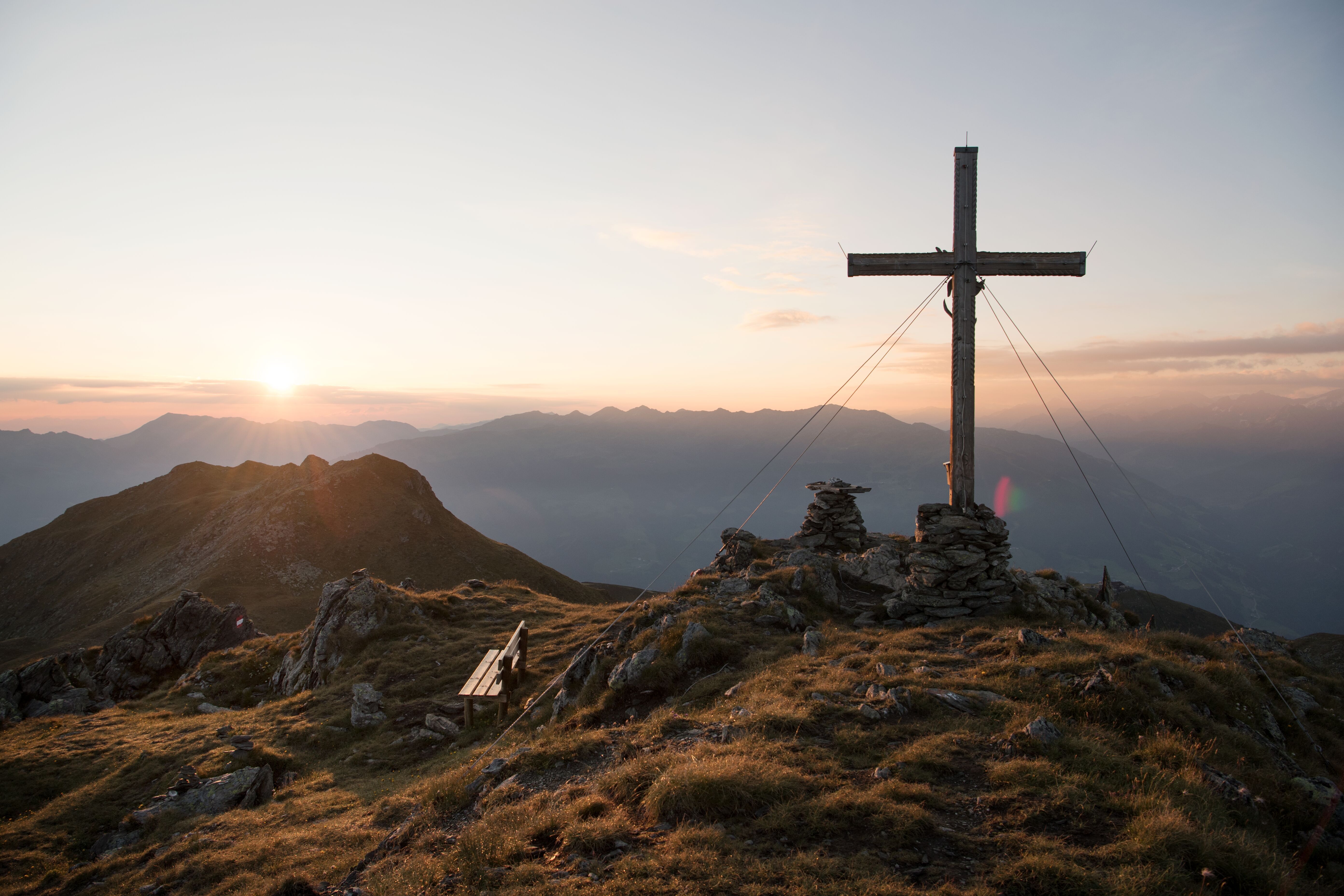
Summit hike to the Ahornspitze, © Bernd Ritschel

Summit Hike
Ahornspitze

The Ahornspitze is almost 3,000 metres high and located south-east of Mayrhofen. This mountain is one of the most popular in the Zillertal Alps and can be easily accessed using the Ahornbahn cable car and then continuing on foot via the Edelhütte hut to the summit. Hikers must be sure-footed and have a good head for heights, especialy for the final approach to the summit. Things can get quite busy on the mountain on hot summer days. The reward for all that hard work is a majestic panorama with 360° views.

Open interactive map

Starting point  

Top of Ahornbahn cable car (1,955 metres) / Mayrhofen

Hike to

Ahornspitze (2,970 metres)

Finishing point

Top of Ahornbahn cable car (1,955 metres) / Mayrhofen

Mountain chain

Zillertal Alps

Length

11.1 km

Total hiking time

6 h 30 min

Features

  • Wheelchair-accessible Hiking Route
  • Circular hike

Difficulty rating

difficult (black trails)

Altitude

2,970m 1,055m

Elevation uphill 1,045m
Vertical metres downhill 1,045m

Fitness level

Technique

Best time of year

Jan
Feb
Mar
Apr
May
Jun

Jul
Aug
Sep
Oct
Nov
Dec

* These are approximate values and recommendations. Please take your personal fitness level, technical ability and the current weather conditions into account. Tirol Werbung cannot guarantee that the information provided is correct and accepts no liability.

Public transport

  • Accessible using public transport

Bus route 633, get off at stop Bahnhof. Mayrhofen railway station.

Parking

Bottom of Ahornbahn cable car


Places serving food and drink

Downloads

Trail description

The adventure begins in Mayrhofen with a ride on the Ahornbahn cable car up to 1,955 metres above sea level. It is here that the hike itself begins. Walkers take trail 42a over a flat ridge towards the Filzenkogel mountain. After passing the Ahornsee lake, turn left onto trail 514 and continue over the northern flank of the mountain in an easterly direction to the Edelhütte hut. This is a good place to stop for a rest. Things get steeper from here on in, culminating in the final ascent along the south-western ridge where hikers must be sure-footed as they make their way up to the summit.

Return along the way you came. If you don't manage to catch the last cable car down, we recommend descending from the Edelhütte hut via the Fellenbergalm (trail number 42) and the Gasthaus Alpenrose.

Information on place

Arrival date

How to get here by plane, train, bus or car.

Ihr Ziel: Ahornspitze (47.13645,11.87057)

powered by Rome2Rio

Search accommodation

Number of travelers

Hiking trails in this region

show more +

How did you like this article?

Want to receive an answer? If so, please get in touch using the contact form.

Go up

Is your inbox in need of a holiday?

Then subscribe to our weekly newsletter full of exclusive holiday tips from Tirol!