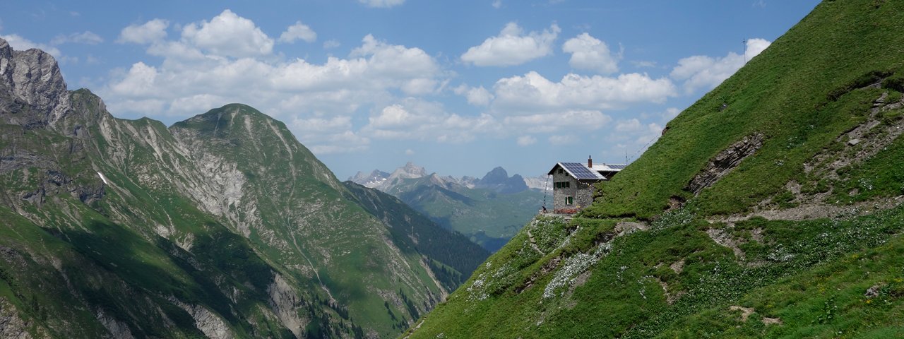
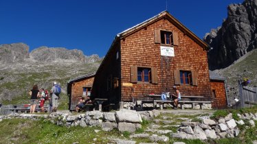
The Frederic-Simms-Hütte (2,004 metres) is a mountain hut situated on one of the most iconic and eye-catching peaks in the Lechtal Alps, Tirol.
Mountain hut high above the Sulztal Valley
German Alpine Club, Stuttgart Division
Perched on a grassy outcrop at the foot of the Wetterspitze mountain, the Frederic-Simms-Hütte enjoys a wonderful location high above the Sulztal Valley. Walkers who like to take it easy can settle down on the hut's terrace and enjoy the wonderful views, while experienced hikers can climb the Holzgauer Wetterspitze (2,895 metres). The hut is located on the Lechtal High Trail. It is open from late June until early October. The first incarnation of the hut was built in 1907 and then replaced by a new building on the same site in 1961. Since then, this hut has been modernised and expanded on regular occasions. The hut takes its name from the British industrialist Frederick Simms, who enjoyed hunting chamois in the Lech Valley.
How to get to the hut
From Stockach in the valley (municipality of Bach) in around 2.5 hours
Walks and hikes in the area (walking time to summit)
Wetterspitze (2,898 metres), 2.5 hours, difficult
Rotschrofenspitze (2,587 metres), 2.5 hours, difficult
Feuerspitze (2,862 metres), 3.5 hours, [intermediate]
Further huts in the area, long-distance walking trails
Ansbacher Hütte, 4 hours
Edelweißhaus, 4 hours
Kaiserjochhaus, 4.5 hours
The Frederic-Simms-Hütte is located on the Lechtal High Trail (Stage 6/7).
Mountain hut high above the Sulztal Valley German Alpine Club, Stuttgart Division Perched on a grassy outcrop at the foot of the Wetterspitze…


