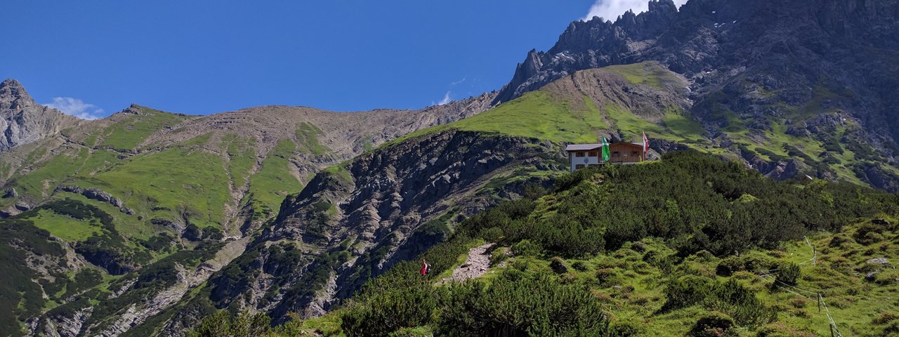
The Hanauer Hütte (1,922 metres) in the Angerletal Valley is a mountain refuge, seminar venue and an important base for walks and hikes in the Lechtal Alps, Tirol.
Excellent hut amidst the peaks of the Lechtal Alps
German Alpine Club, Hanau Division
This impressive mountain refuge above Boden in the Angerletal Valley was built in 1897, surrounded by lush mountain meadows. The impressive mountain scenery with the Dremelspitze peak and flower-strewn meadows never ceases to amaze hikers and climbers. Does a mountain refuge hut need more than a wonderful location and great service? The Hanauer Hütte is also equipped with a large conference room with facilities for groups of up to 60 people, including an overhead projector, video recorder, projector, etc. Well-known surrounding mountains: Kogelseespitze, Reichspitze, Große Schlenkerspitze, Dremelspitze, Parzinnspitze.
How to get to the Hanauer Hütte
From Boden near Bschlabs through Angerletal Valley 2 hours, from Elmen 5.5 hours, from Gramais 4 hours, from Starkenbach (Inn Valley) 7 hours
Walks and hikes in the area (walking time to summit)
Reichspitze (2,590 metres), 3 hours, difficult
Kogelseespitze (2,647 metres), 2.5 hours, intermediate
Dremelspitze (2,733 metres), 3 hours, difficult
Parzinnspitze (2,611 metres), 2.5 hours, difficult
Große Schlenkerspitze (2,828 metres), 3.5 hours, difficult
Further huts in the area, long-distance hiking trails
Steinseehütte, 3 hours
Muttekopfhütte, 6.5 hours
Anhalter Hütte, 6 hours
Memminger Hütte, 8 hours
Württemberger Haus, 5.5 hours
The Hanauer Hütte is located on several long-distance hiking trails: Eagle Walk (Stage 19 & Stage 20), E4, Nordalpenweg 01 and Lechtal High Trail.
Excellent hut amidst the peaks of the Lechtal Alps German Alpine Club, Hanau Division This impressive mountain refuge above Boden in the…


