
Opening hours:Open today
Place:Telfs-Buchen
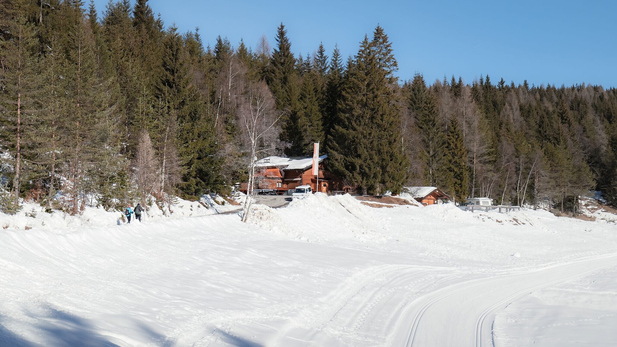
:Alpine pasture / hut / mountain restaurant
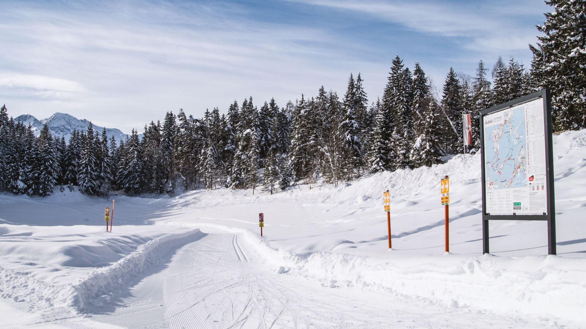
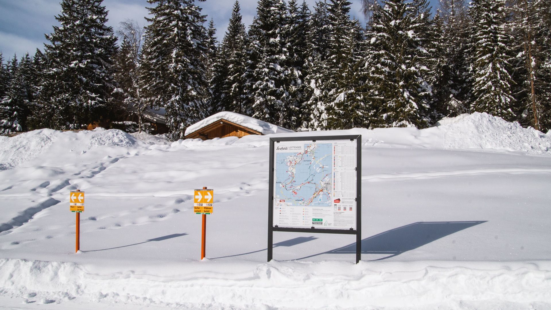
B13 trail: Medium-difficulty trail from the Lake Möserer See to the Lake Lottensee on the Wildmoos plateau.
Trail Entry Point:
Möserer See or Lottenseehütte
Trail Character:
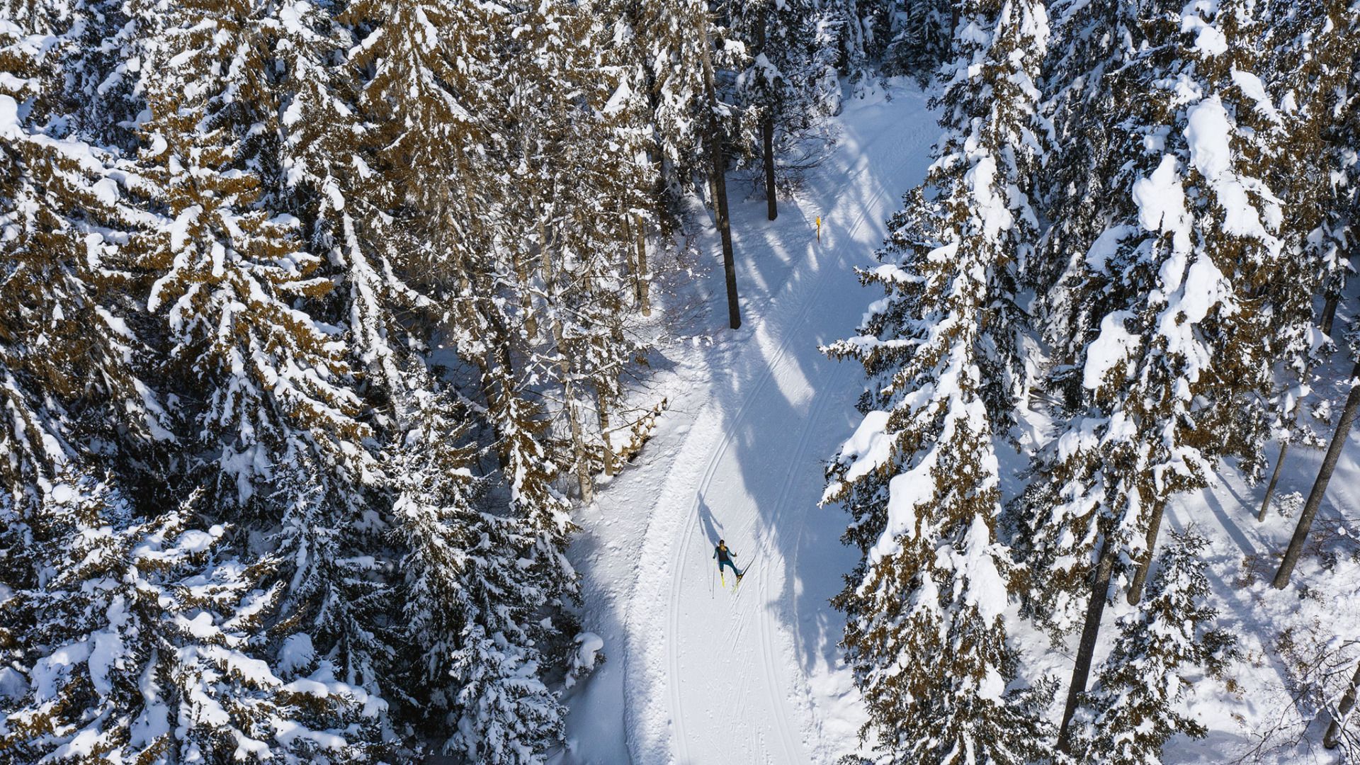
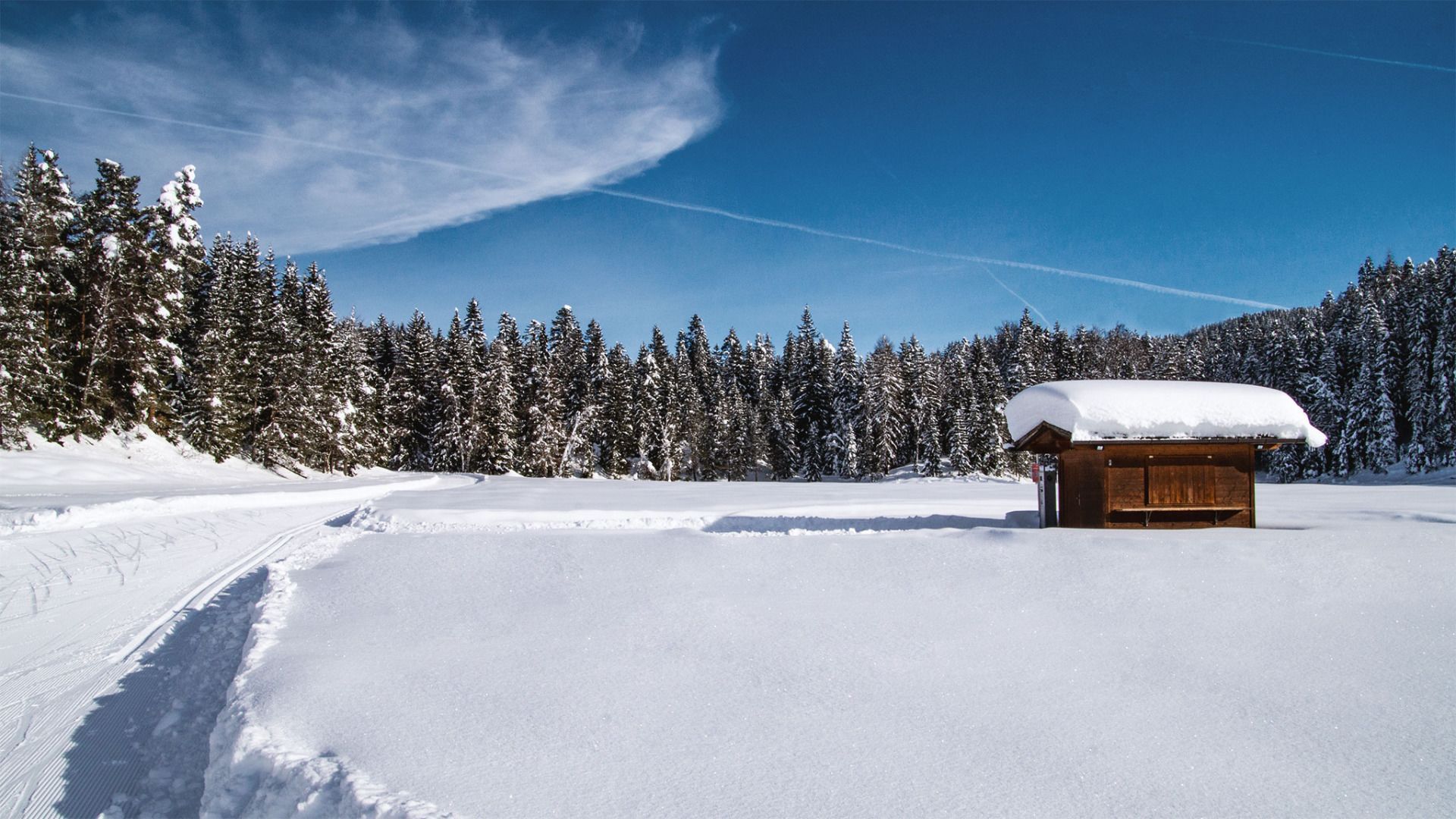
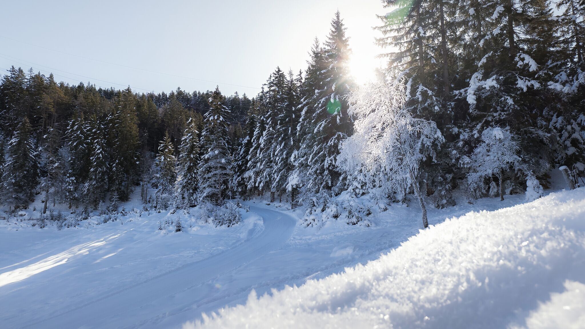
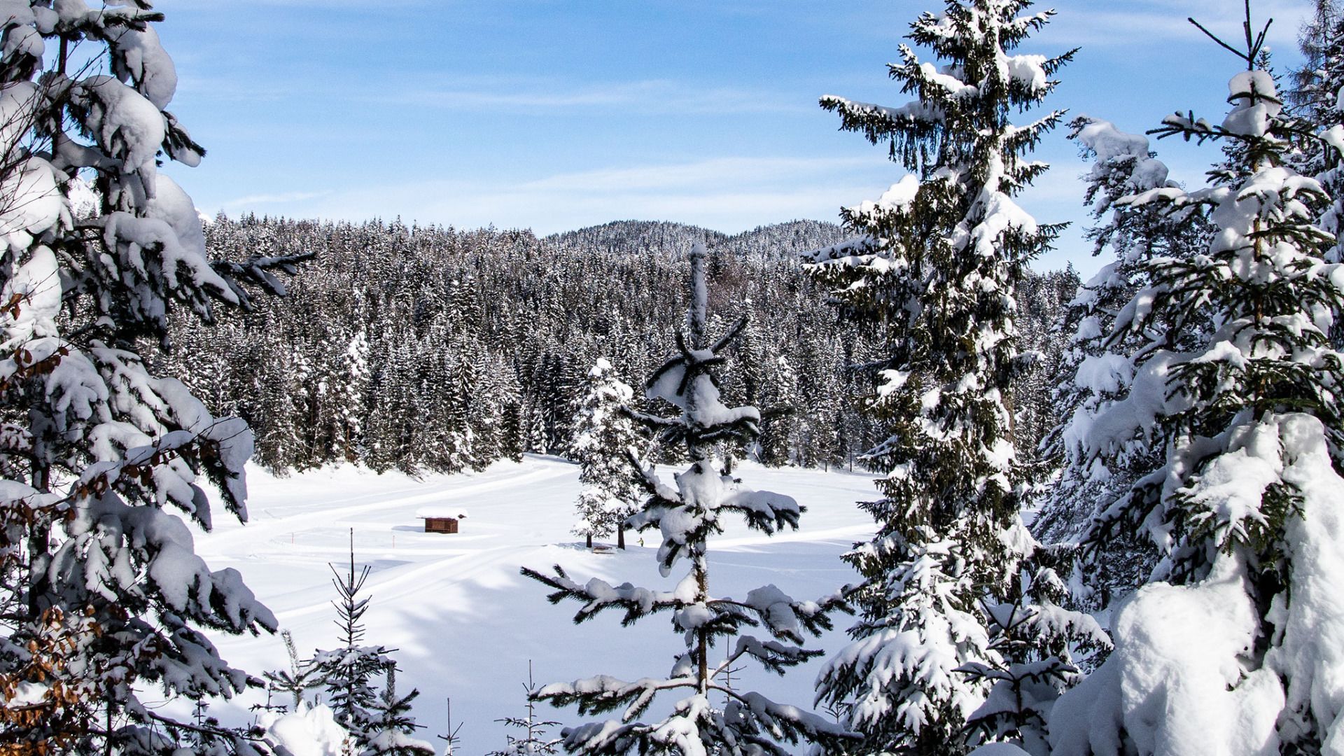
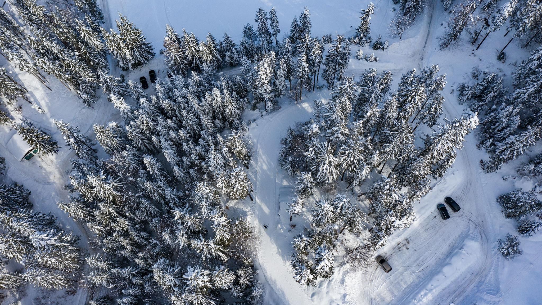
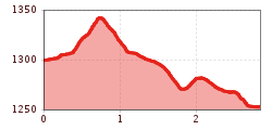
The trail starts at the Möserer See and leads you gently through the light Lehenwald forest. As the landscape opens up, you glide across soft, sunny terrain towards the Lottensee. A short stop at the Lottensee is well worth it before the loop brings you back to the Möserer See. The route is about 2.9 km long with mild ups and downs – ideal for anyone who enjoys a relaxed outing. Both the Möserer Seestub’n and the Lottenseehütte offer small refreshments along the way, and if you’re in the mood, you can continue on to the Wildmoosalm. Please watch out for oncoming traffic on the track.
Note: Trail conditions may change over the course of the day depending on the weather. Please be aware that icy patches or deep track grooves may occur. Adjust your technique and speed accordingly.
Connecting Trails:
B10 Möserer See and C11 Lottensee
An overview of the entire cross-country skiing network (incl. trail status) and helpful cross-country skiing information (ticket machines, waxing and service points, changing facilities, ...) can be found in the cross-country skiing report.


