

Opening hours:Open today
Place:Sölden
:Restaurant
In the 1.6 km long, easy to ride BROATE LINE, the TEÄRE, the OHN LINE, and the Nene Trail merge. For those who want, it offers some playful elements.
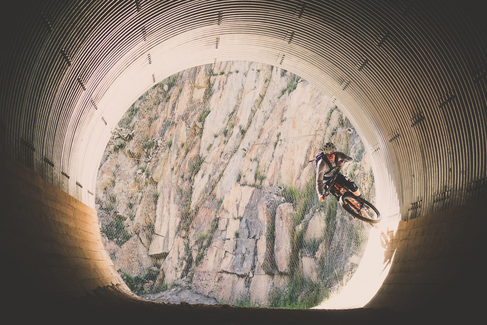
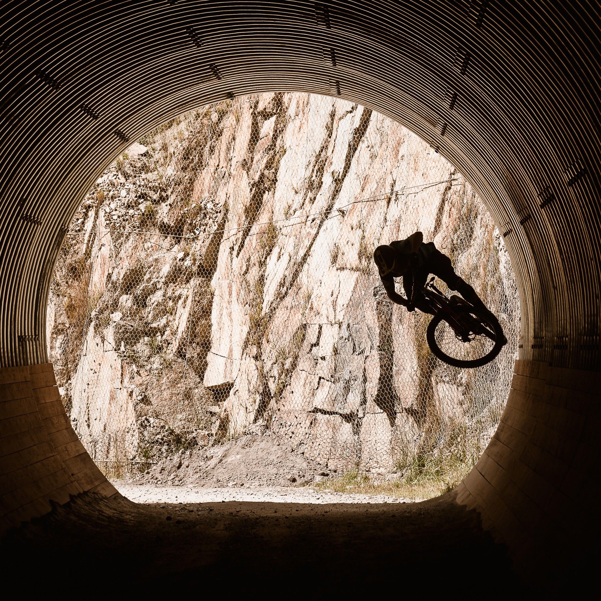
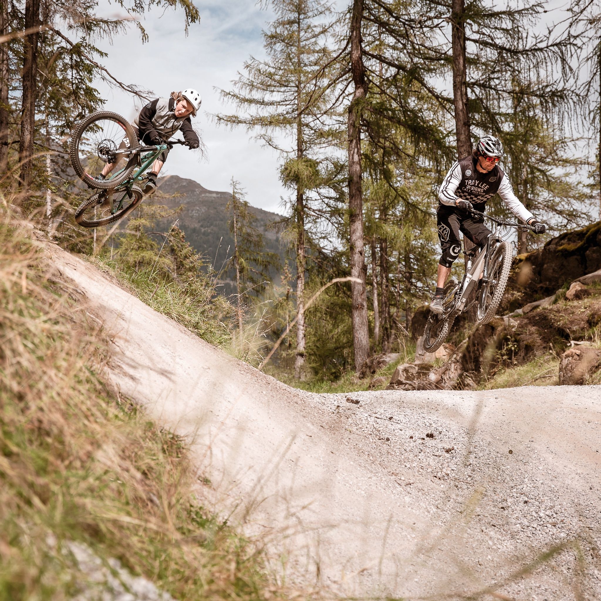
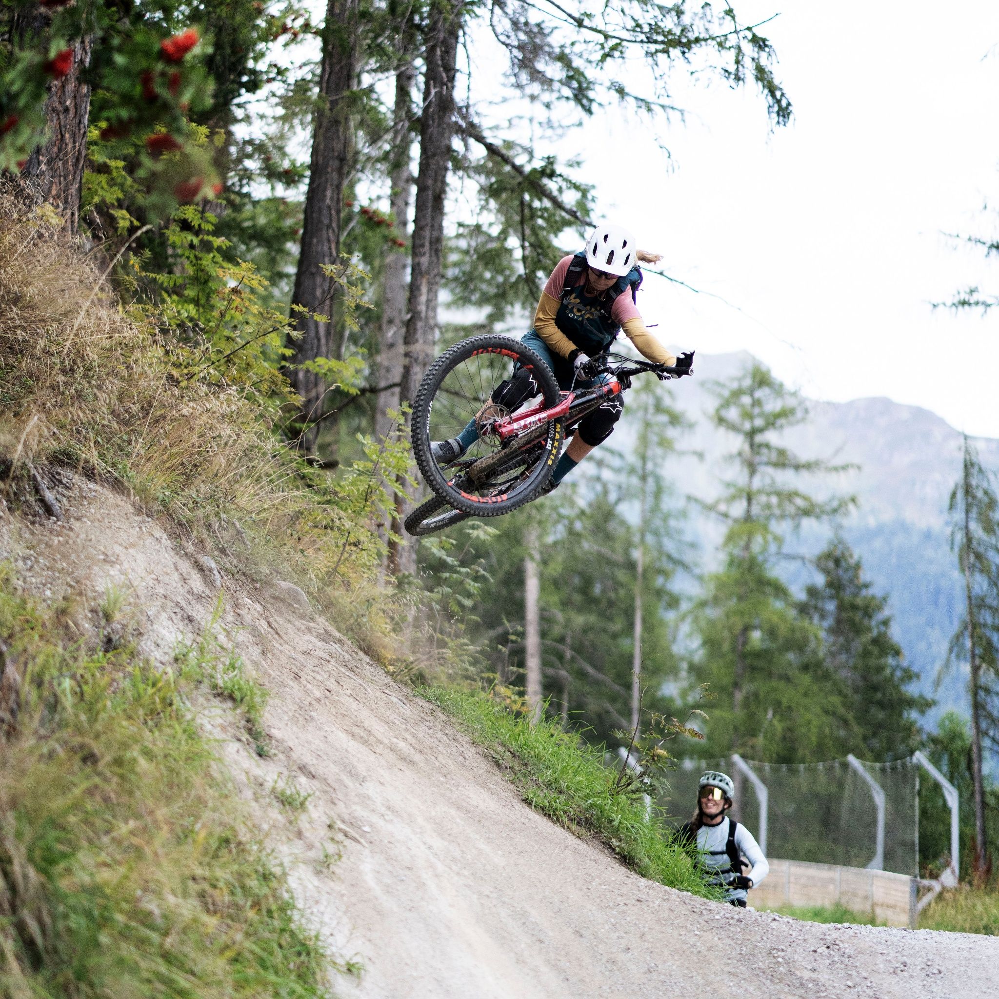
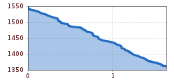
The BROATE LINE is a green line and therefore especially suitable for beginners. Please watch out for the gravel, which can be slippery.
At BIKE REPUBLIC SÖLDEN, it's about having fun with bike sports together – regardless of your riding level. Be considerate and support each other. And behave just as respectfully towards all other people on the mountain and in the valley - and the nature.
–> Stay on the paved and signposted paths. Do not ride over open meadows!
–> Avoid blocking the rear wheel to help preserve the trails.
–> Be considerate of animals and close the pasture gates. Cows may always be on the trails and lines. Ride carefully and keep your distance!
Well-equipped rules! We recommend wearing MTB protective gear (helmet, protectors for knees, elbows, back, ...) on all lines, trails, enduro routes, and mountain bike routes of BIKE REPUBLIC SÖLDEN. All routes are exclusively intended for use with mountain bikes that meet today's quality standards.[bʀɔɑ̃ tə] "Broat" – that's how the Ötztal locals say it – and the green BROATE LINE is also designed to be wider (in winter it is a sledding slope). On it, you arrive after the TEÄRE and OHN LINE as well as the Nene Trail, and it finally ends in the Pumptrack Rollin directly at the Gaislachkoglbahn. Even though it is easy to ride, you should watch out for the gravel, as it can be slippery. Those who want can enjoy the jump elements, wallrides, and small drops – all of which are bypassable. For those who want something more demanding, you can branch off several times from the BROATE LINE onto the Schteckler Trail. A beautiful line.
Arrival by train
Travel easily by train to Ötztal Station at the valley entrance. A shuttle bus departs directly from the station square towards Obergurgl. The bus ride to Sölden takes about 1 to 1.5 hours. Bicycle transport (including eMTBs) is free with a valid bus ticket on designated bike shuttle buses.
All important information about bus schedules, connections, and taxi companies can be found here.
WHERE IS SÖLDEN?
Sölden is located in western Austria in the state of TIROL, in the longest side valley of the Inn valley – the ÖTZTAL.
Arrival from the west:
From Vorarlberg to Tyrol via the Arlberg Pass or through the Arlberg Tunnel (S 16) - Landeck - Autobahn A 12 towards Innsbruck - exit Ötztal to Roppener Tunnel - B 186 (35 km) to Sölden
From the north:
- Bad Tölz - Achen Pass - B 181 - Jenbach - A 12 Innsbruck direction Bregenz - exit Ötztal - B 186 (35 km) to Sölden
- Pfronten - Reutte - Fern Pass - Imst - A 12 towards Innsbruck - exit Ötztal to Roppener Tunnel or B 171 Tiroler Straße to Ötztal (vignette-free) - B 186 (35 km) to Sölden
- Garmisch Partenkirchen - Ehrwald - Lermoos - Fern Pass - Imst - A 12 towards Innsbruck - exit Ötztal to Roppener Tunnel or B 171 Tiroler Straße to Ötztal (vignette-free) - B 186 (35 km) to Sölden
- Garmisch Partenkirchen - Mittenwald - Scharnitz - Seefeld in Tirol - Telfs - A 12 towards Bregenz - exit Ötztal or B 171 Tiroler Straße to Ötztal (vignette-free) - B186 (35 km) to Sölden
From the east:
From Munich or Salzburg on the A 93 to Kufstein, then on the A 12 direction Bregenz, via Innsbruck to exit Ötztal, then further on B 186 (35 km) to Sölden
From the south:
Coming from Bolzano towards Brenner (toll road) - Brenner Autobahn via toll station Schönberg towards Innsbruck - from Innsbruck on A 12 direction Bregenz to the approach to Ötztal - further on B 186 (35 km) to Sölden
At the valley stations of the Gaislachkoglbahn and the Giggijochbahn, there are sufficient parking spaces, as well as parking garages available.Parking spaces are subject to charges.
Paid overnight parking for cars is possible in the Gaislachkogl parking garage:
more information about overnight parking
Please respect that wild camping is prohibited!


