
Opening hours:Open today
Place:Achenkirch am Achensee
:Restaurant:Breakfast, vegetarian, vegan
Hike to Hochplatte: 860m elevation gain, about 4:30h walking time. Varied trail with views of the mighty Guffert massif near Steinberg, the Karwendel and the Bavarian Pre-Alps.
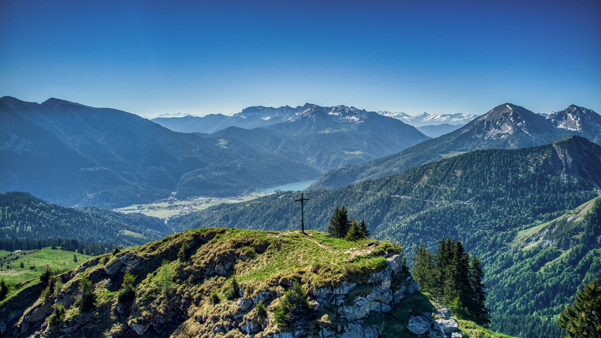
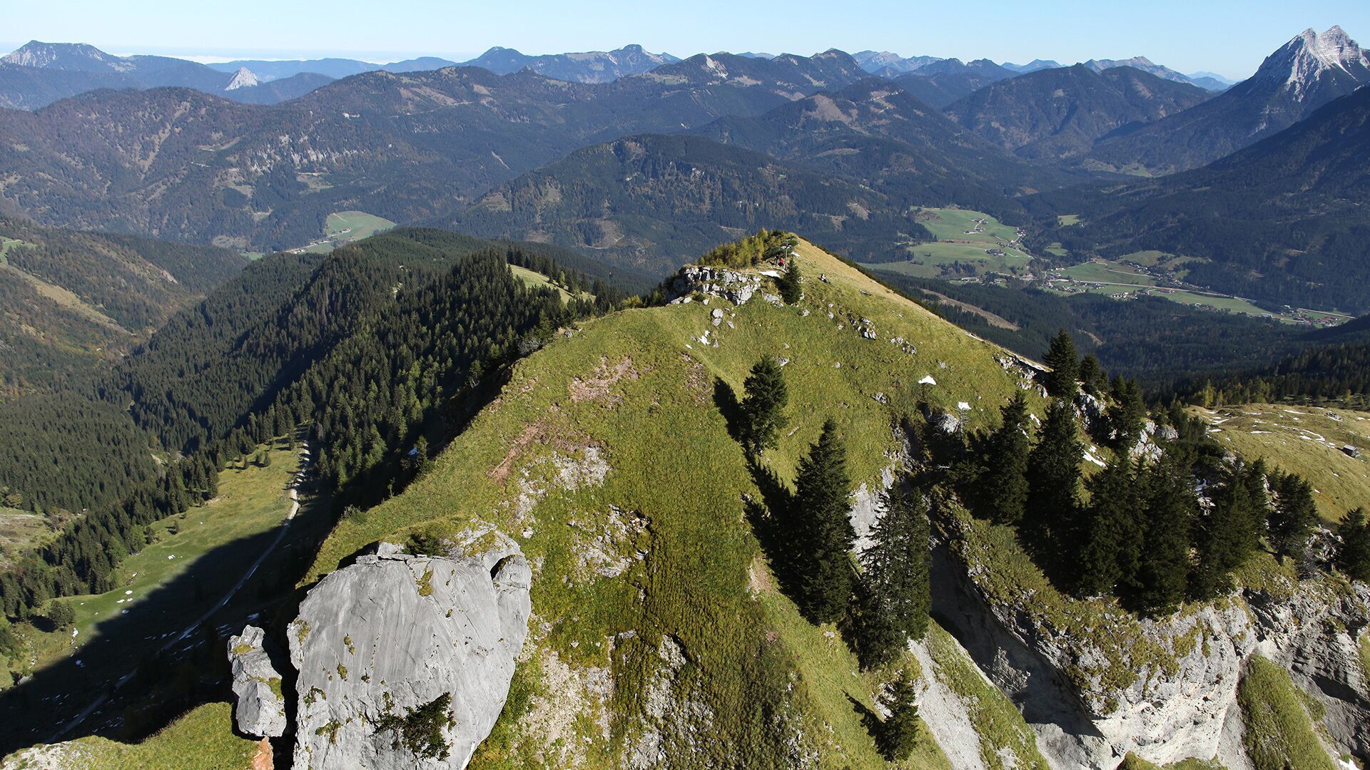


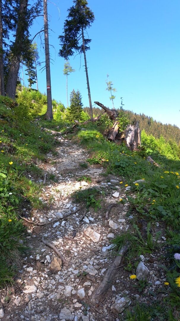
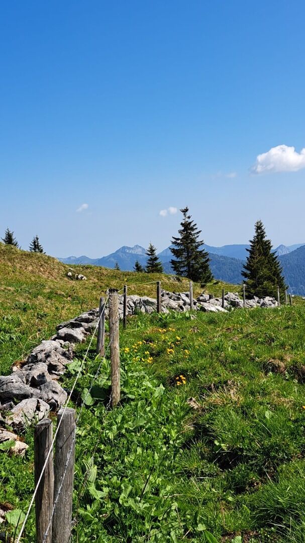
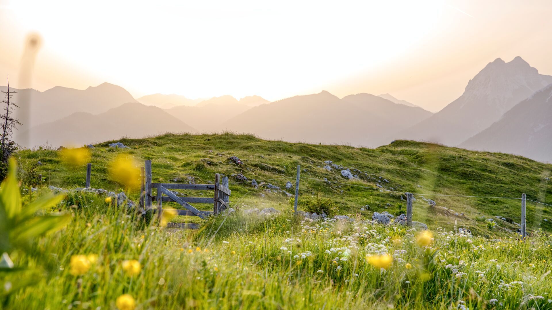
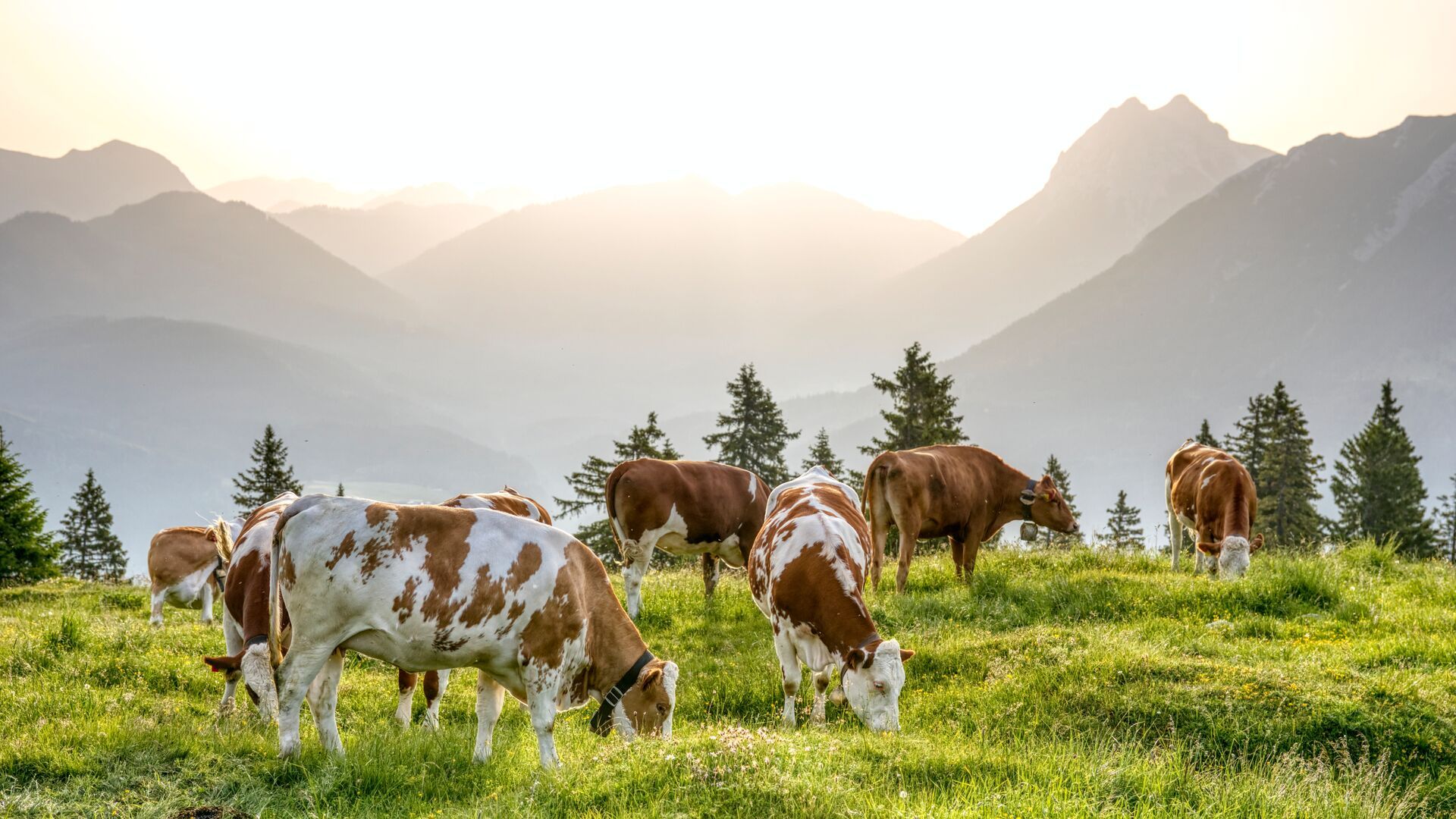
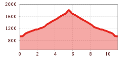
From the car park of the Christlum lifts, walk to the entrance of the Unterautal valley and continue to the wayside cross. From here, follow the Jägersteig trail. The trail climbs steeply, then turns into a wide path and leads past the mountain huts Bründlalm (1,216m, not serviced) and Jochalm (1,483m, not serviced) to the Seewaldhütte (1,582m, open for beverage service on Saturdays and Sundays only). From here, a steep trail climbs to the Hochplatte (1,813m). The return is via the same route.
Take the regional bus (lines 4080 or 390) to Achenkirch to the ski area and get off at the "Achenkirch Christlumlifte" stop.
Car park Christlum 1 in Achenkirch (paid parking)


.jpg")


.jpg")


")


