Hut hike Around the Gratlspitze

Alpbach / Kitzbüheler Alpen
Difficulty ratings: medium
Route length: 12.0 km
Duration: 6:00 h

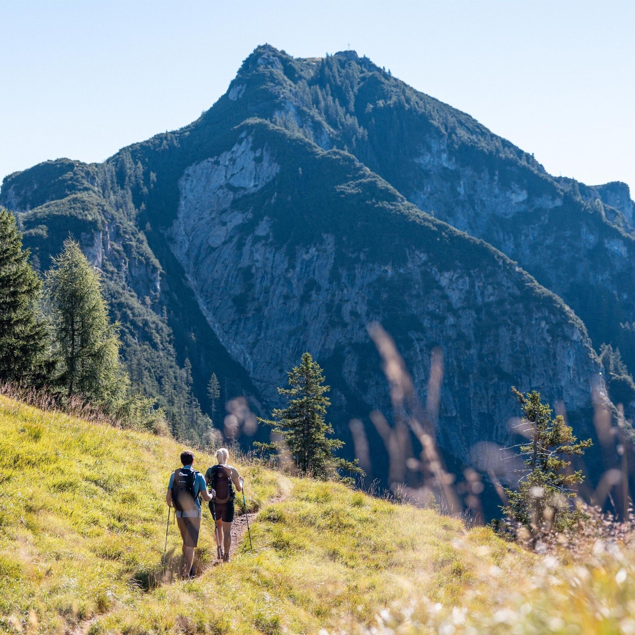
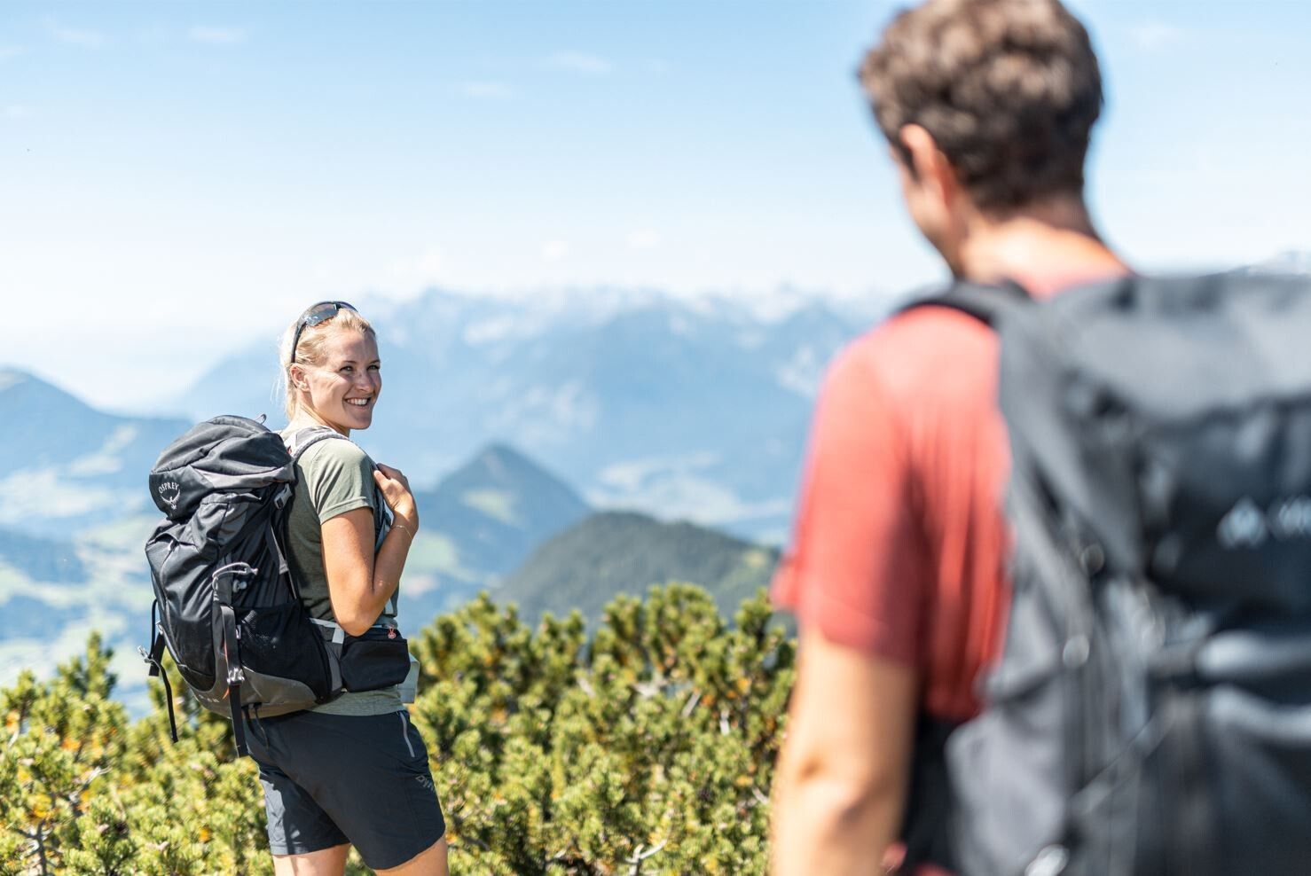
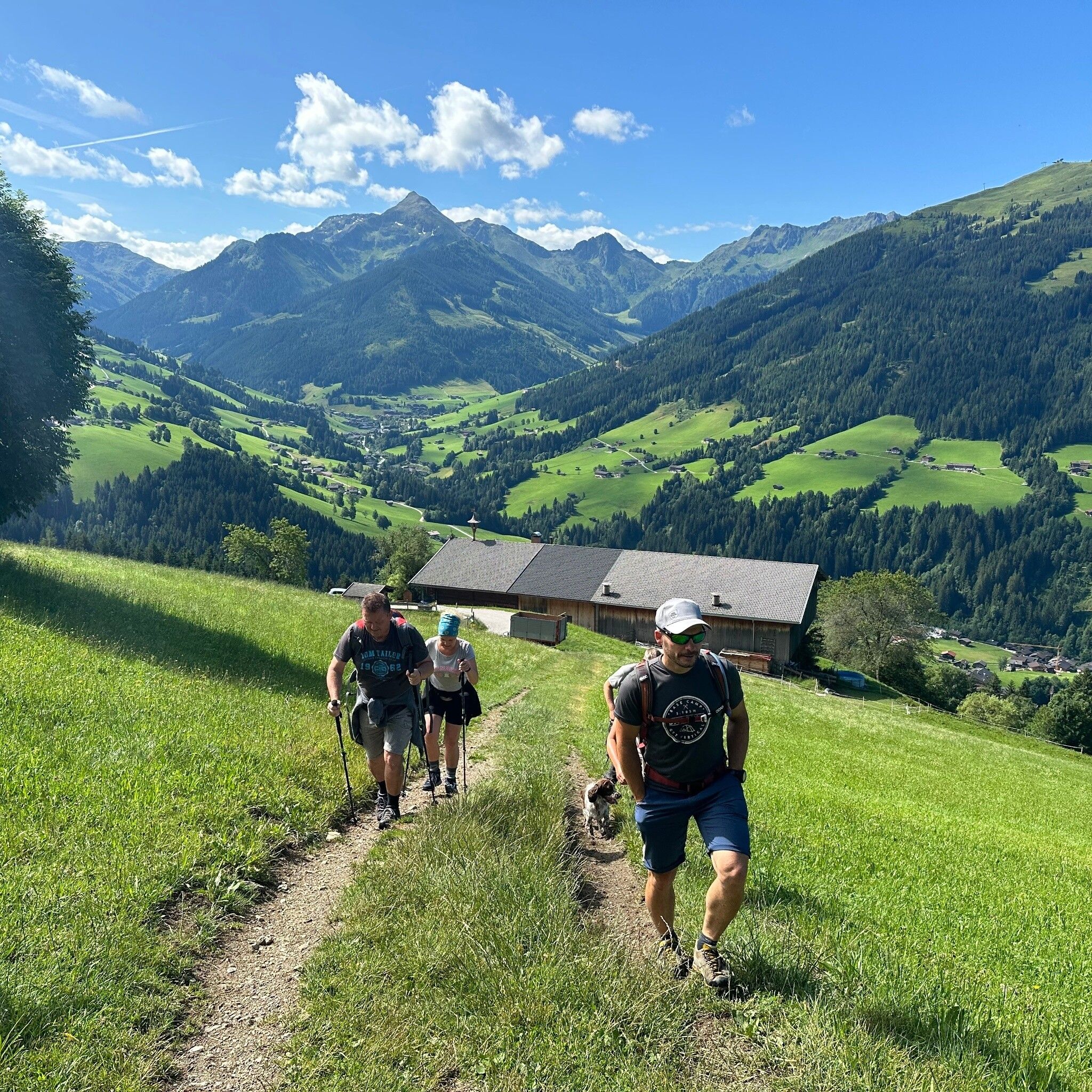
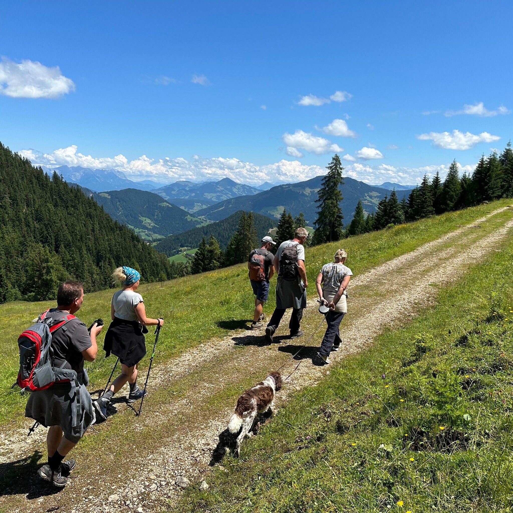
Impressive hike with great views and charming mountain scenery! The Gratlspitze has its charm from every side - with this circular hike you will experience many different landscapes.

Tour information

  • Requirement: medium
  • Length: 12.0 km
  • Duration: 6:00 h
  • Elevation uphill:644 hm
  • Elevation downhill:644 hm
Highest point1,521 m

Starting point

Tourism Office Alpbach

Finishing point

Tourism Office Alpbach
  • Fitness level 4 / 6

Best time of year

  • January
  • February
  • March
  • April
  • May
  • June
  • July
  • August
  • September
  • October
  • November
  • December

Equipment

sturdy hiking boots, weatherproof clothing and drinks

Source: Alpbachtal

Description

The natural landscape around the Gratlspitze is characterized by its special flora. On the way you can admire several native orchid species, such as lady's slipper, and lily plants, such as Turk's cap lilies. Due to copper and silver mining until the mid-19th century, the Gratlspitze has always been significant (see information below).

Understand climate change? On the hike, you will experience a primeval forest-like woodland and its structures up close. Important habitats such as wetlands and ponds are to be discovered.

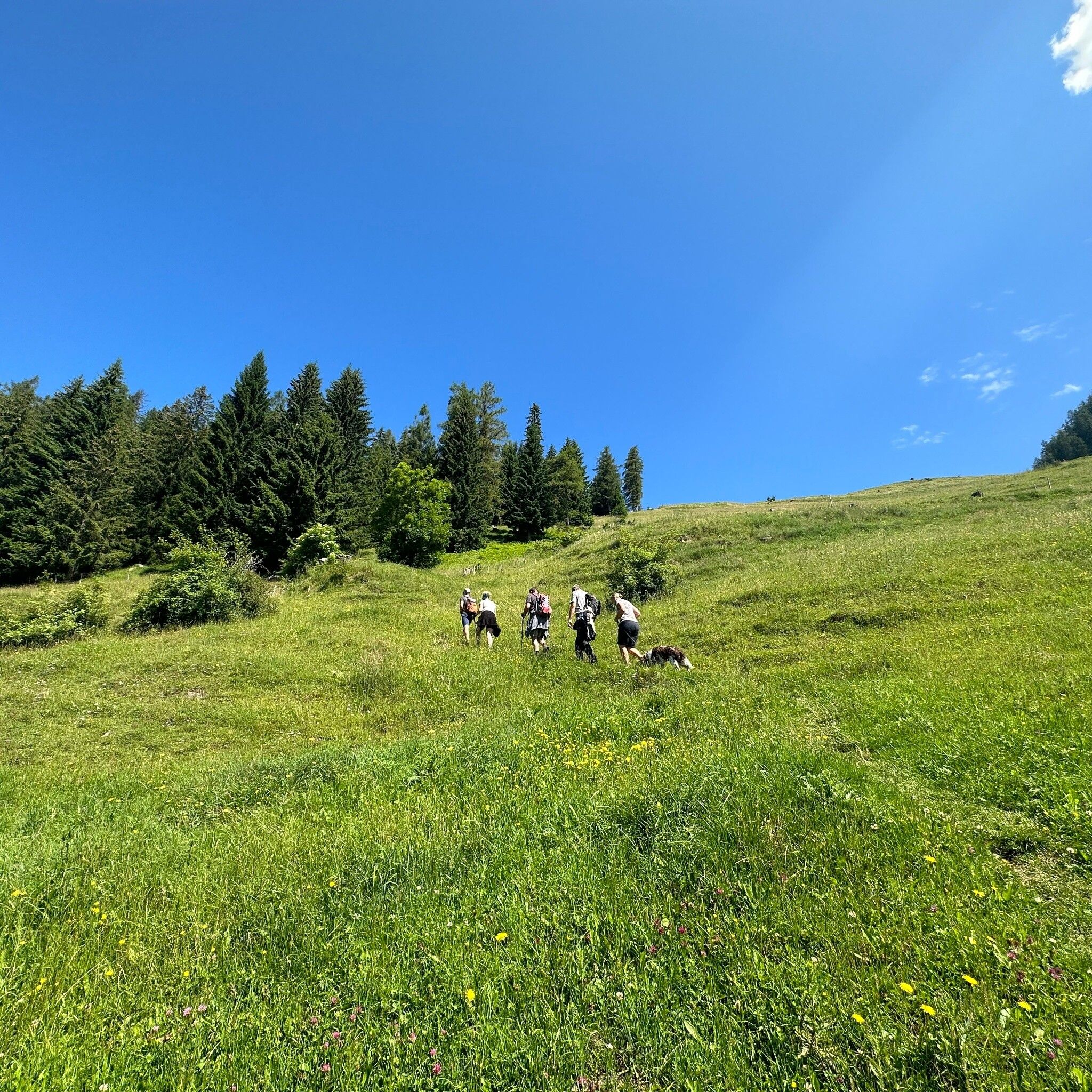
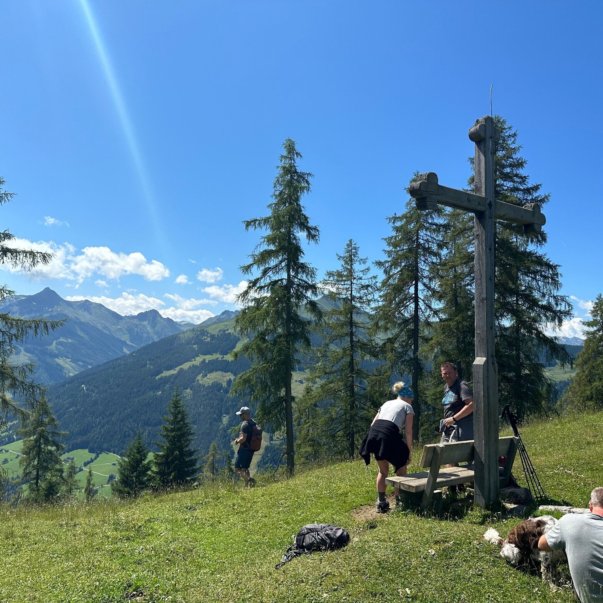
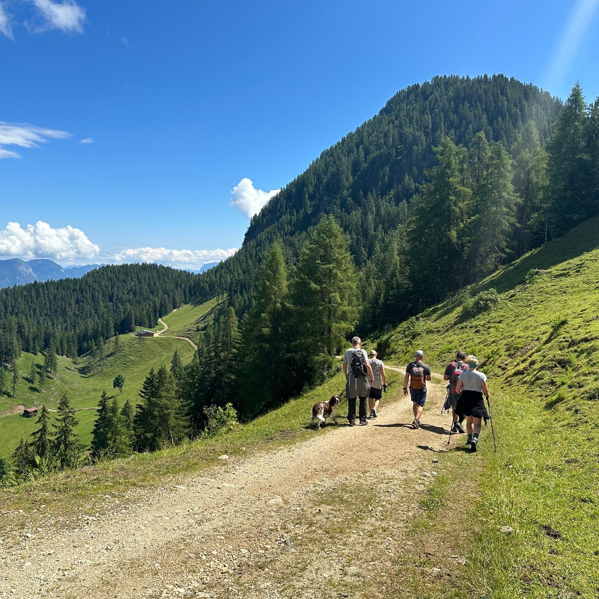
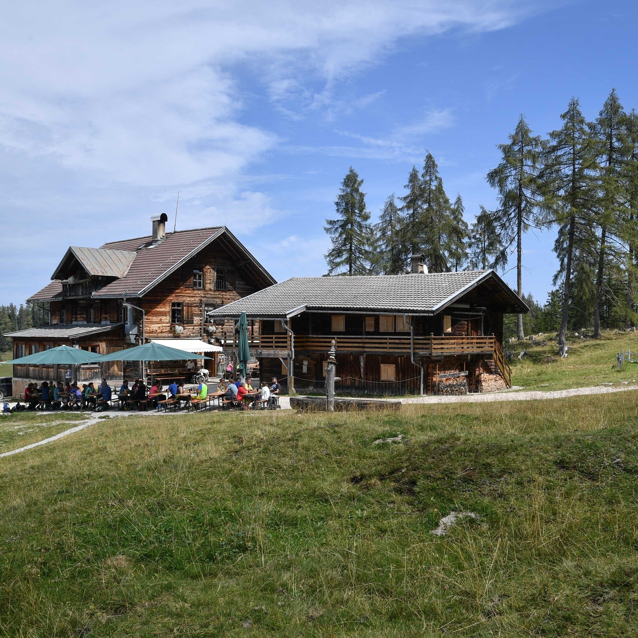
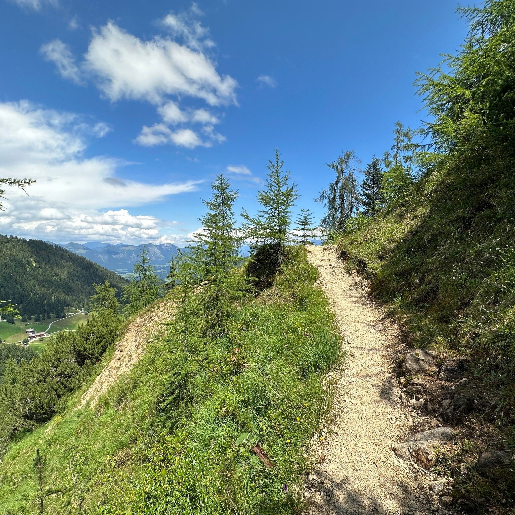
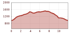
The route starts in the centre of Alpbach village, where it goes briskly uphill - left past the church - via hiking trail no. A6 to Hausberg and further to Bischoferalm, then on to Hauser Joch. From here you have a wonderful view of the surrounding mountain world. Now you hike further without significant altitude gain to the Berggasthof Holzalm. After 3 hours, more than half the way is done and you can enjoy a long rest. Then you hike past the old ore mining area and the "Kaiserbründl" to the Hösllacke. From there you follow the hiking trail A23 downhill to the Kneipp facility and turn right onto the Alpbacher Heimatweg (A3). The beautiful "larch path" leads to the farms at Thierberg. From there you go steeply downhill once again back to the starting point in Alpbach.

Tip: This route is also offered as a guided tour as part of the Alpbachtal Card program!

  • Day: Wednesday
  • Meeting point: 9:30 a.m. tourism office in Alpbach, Alpbach 404, 6236 Alpbach
  • Period: 28 May - 29 October 2025
  • Duration: approx. 6 hours, walking time: 5 hours
  • Minimum number of participants: min. 3 up to max. 15 people
  • Refreshment opportunity: Berggasthof Holzalm - please bring your own drinks!

Registrations: until 4:00 p.m. the day before at all tourism offices in the Alpbachtal +43 5337 21 200 30 or via the --> Alpbachtal Experience Shop!

This hike is included with the Alpbachtal Card!


Nearby huts and mountain restaurants

Getting here

  • Parking

    Underground car park below Sparmarkt at the entrance to Alpbach or outdoor parking spaces

More tours in the surrounding area

  • Barrier-free path Lake Reintal

    Difficulty: easy
    Length: 6.5 km Duration: 1:45 h Elevation uphill: 15 m
  • Discovering the Tiefenbach Gorge Hike

    Opening hours: closed
    Difficulty: medium
    Length: 5.7 km Duration: 3:30 h Elevation uphill: 669 m
  • Kundler Klamm

    Opening hours: closed
    Difficulty: easy
    Length: 6.4 km Duration: 2:00 h Elevation uphill: 116 m
  • Voldöpper Spitze Loop Hike

    Difficulty: medium
    Length: 12.9 km Duration: 5:00 h Elevation uphill: 988 m
  • Day 1: 4 days - 4 summits tour

    Difficulty: medium
    Length: 9.8 km Duration: 5:00 h Elevation uphill: 984 m
  • 3-peak-tour Kienberg-Plessenberg-Heuberg

    Difficulty: medium
    Length: 8.6 km Duration: 4:30 h Elevation uphill: 779 m
  • Day 3: 4 days - 4 summits tour

    Difficulty: medium
    Length: 19.3 km Duration: 8:00 h Elevation uphill: 1,371 m
  • 4 days - 4 summits tour

    Difficulty: medium
    Length: 54.4 km Duration: 23:00 h Elevation uphill: 3,408 m
  • 3-day Family Tour Alpbachtal

    Difficulty: easy
    Length: 18.3 km Duration: 7:00 h Elevation uphill: 998 m
  • Loop tour Juppi Zauberwald

    Difficulty: easy
    Length: 2.5 km Duration: 1:00 h Elevation uphill: 93 m
  • Farmkehralm 1.521 m

    Difficulty: medium
    Length: 9.3 km Duration: 3:30 h Elevation uphill: 506 m
  • Wiedersberger Horn Panorama Path

    Difficulty: easy
    Length: 4.1 km Duration: 1:30 h Elevation uphill: 195 m
  • Kaiser Gorge - loop trail

    Opening hours: closed
    Difficulty: easy
    Length: 4.2 km Duration: 1:00 h Elevation uphill: 198 m
Newsletter

The mountain is calling? So does our newsletter!

In our monthly newsletter we reveal the best holiday tips for Tyrol.