
Opening hours:closed
Place:Trins
:Alpine pasture / hut / mountain restaurant
Circular hike on a flowery mountain in the Kalkkögeln
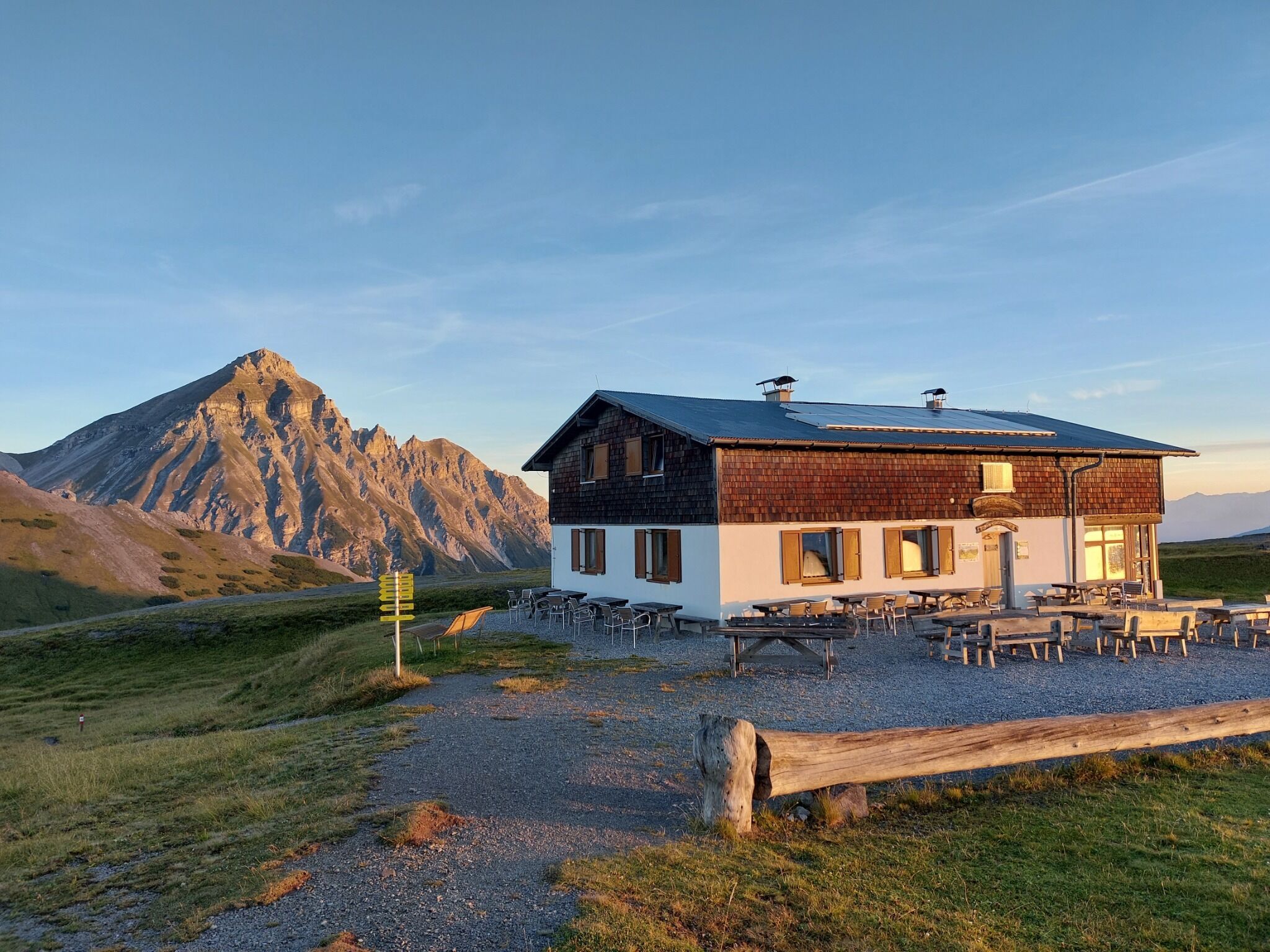

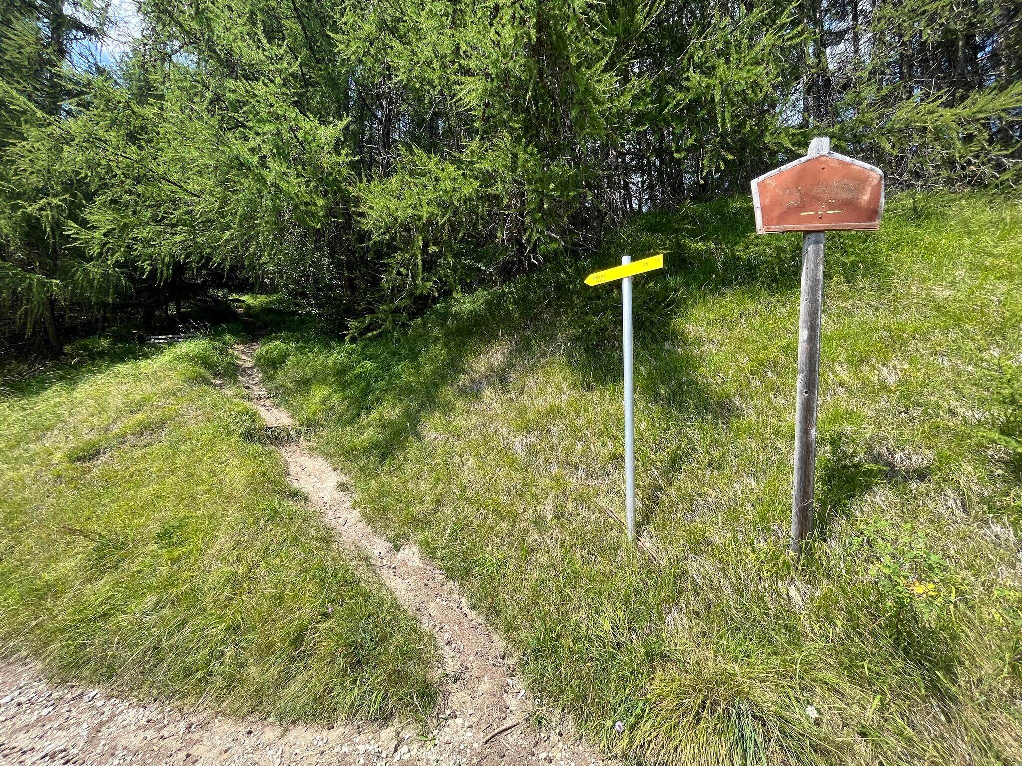
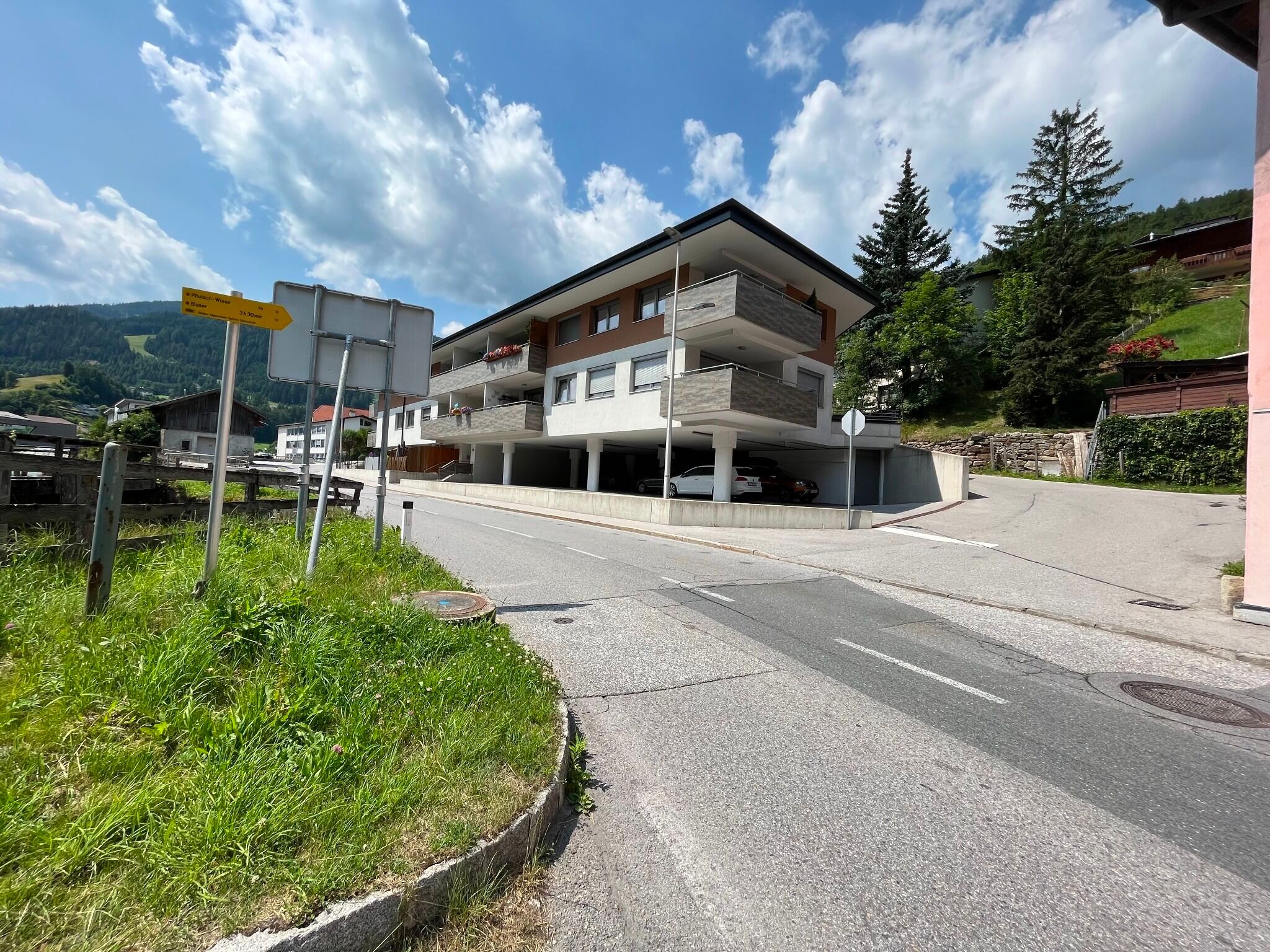
Starting point at the bus stop "Trins Gemeindeamt". From there to the car park "P4 Leiten" above the church and continue along trail nr. 30 first uphill over a meadow, then out of the valley through the Platzerwald. On the way up you cross the wide forest path that leads to the Blaserhütte and stay on the trail. Already above the forest in the mowers, the path meets the forest path again. Along this path you walk to the Blaserhütte - the hairpin bends are best done on the well-trodden paths. From the Blaserhütte it is only a few metres to the probably windy summit with cross.
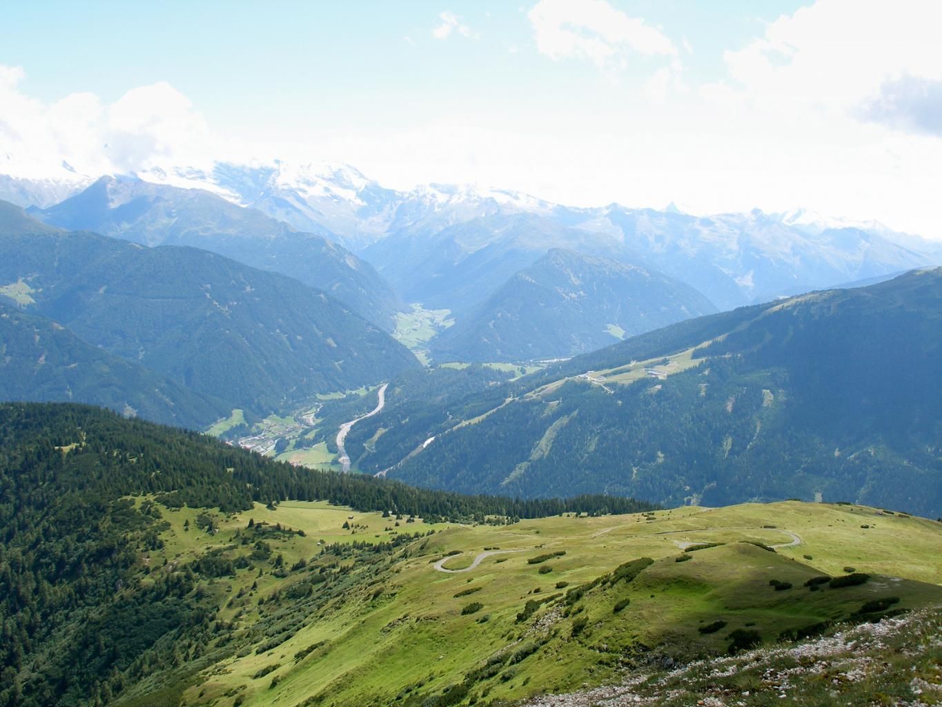
The descent leads first on path no. 31 into the valley, which then crosses the forest path no. 31A. Either you stay on the later rather steep path No. 31 or you follow the 7 km long forest road westwards and walk at the foot of the Blaser along the roadway out of the valley to the starting point in Trins.

.jpg")


")
 (1).jpg")


.JPG")


