
Opening hours:Open today
Place:Scharnitz
:Alpine pasture / hut / mountain restaurant
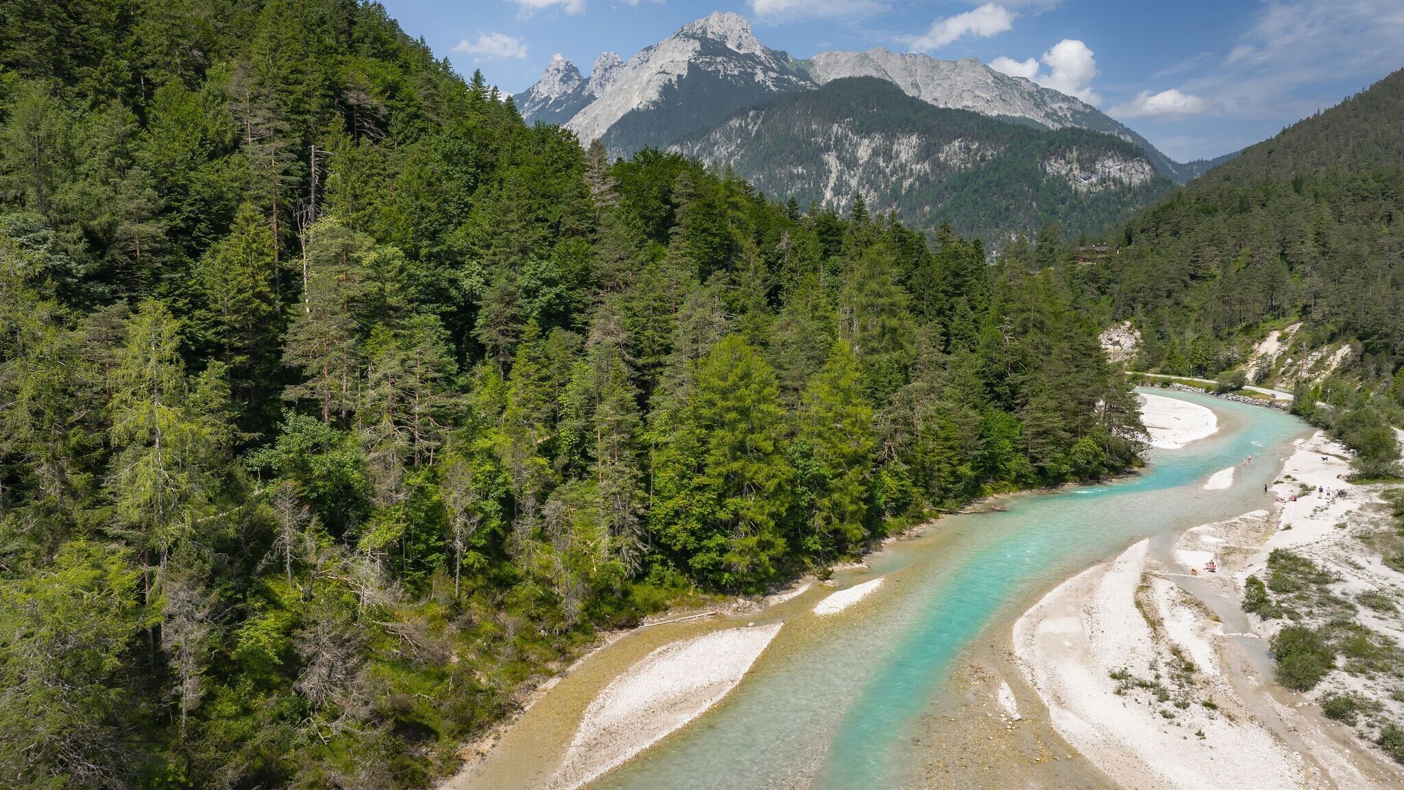
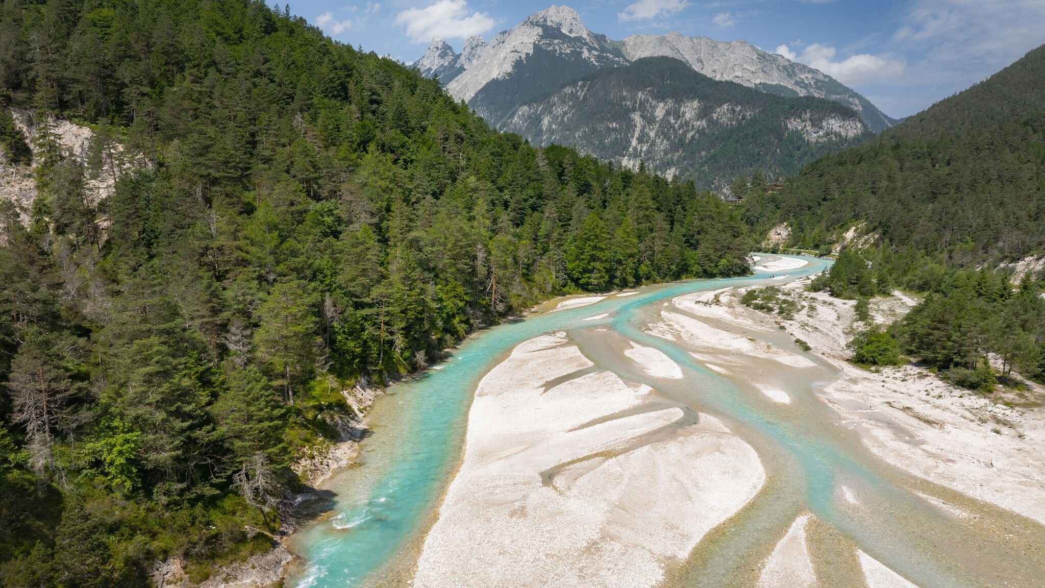
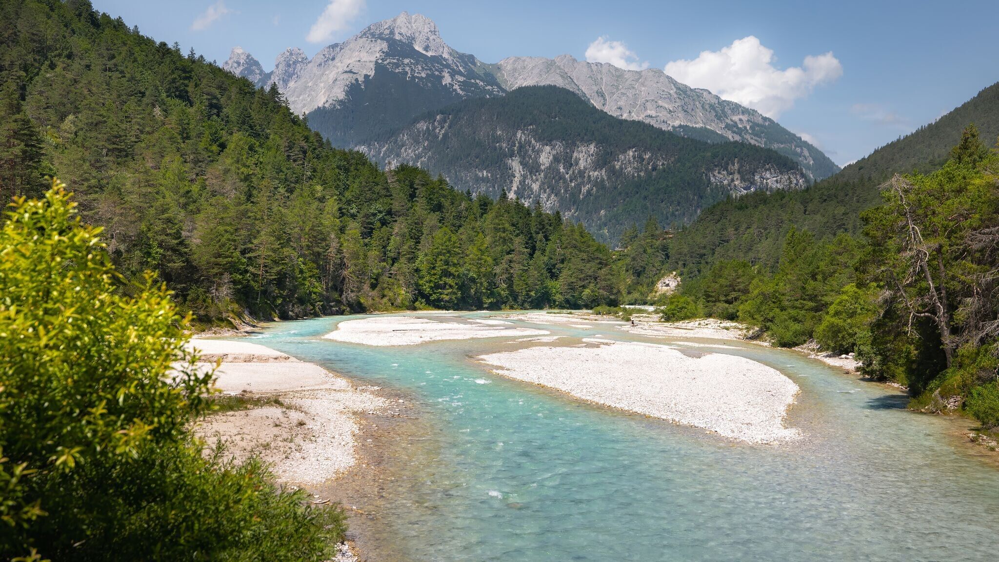
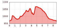
Moderate circular hike from Scharnitz via the Isarsteig to the Gleirschhöhe (1,074 m), passing the Scharnitzer Alm, offering splendid views of the Hinterautal valley.
Gravel path.
All current information about the trail closures in the Region Seefeld can be found here.
Have you been out and about in the Region and discovered a spot that we should rework or repair? Fill out the form "Report a danger zone" and let us know where work is needed.
Sturdy hiking shoes, functional clothing, a backpack, water, snacks, basic fitness, and sure-footedness are recommended for this hike.
Additionally, a hiking map or GPS, a first aid kit, sun protection, and hiking poles are advisable.
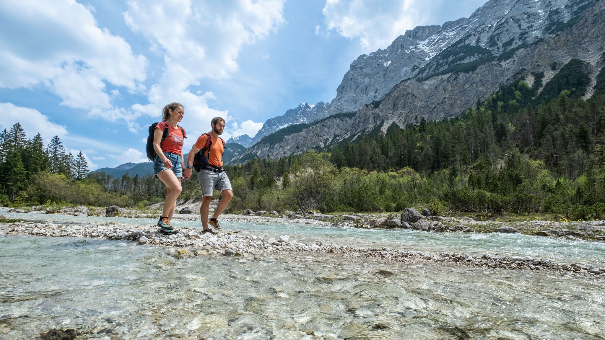
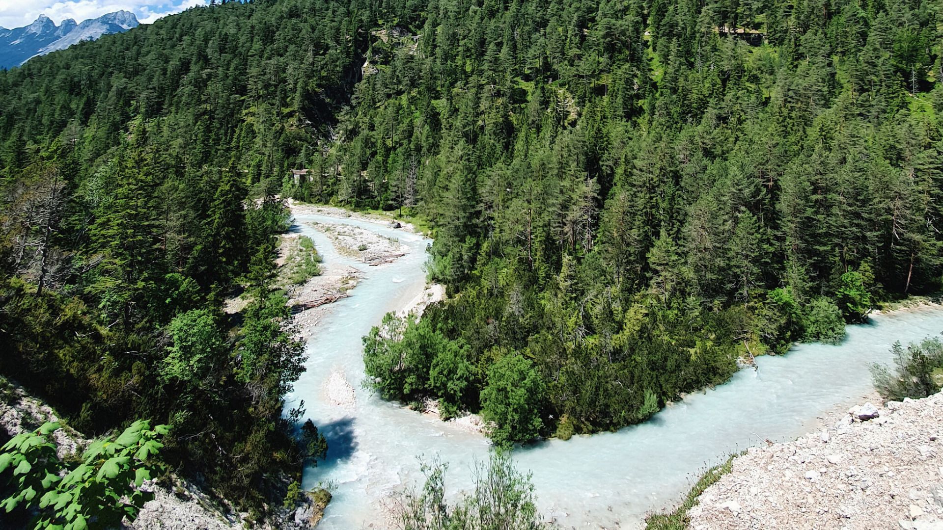
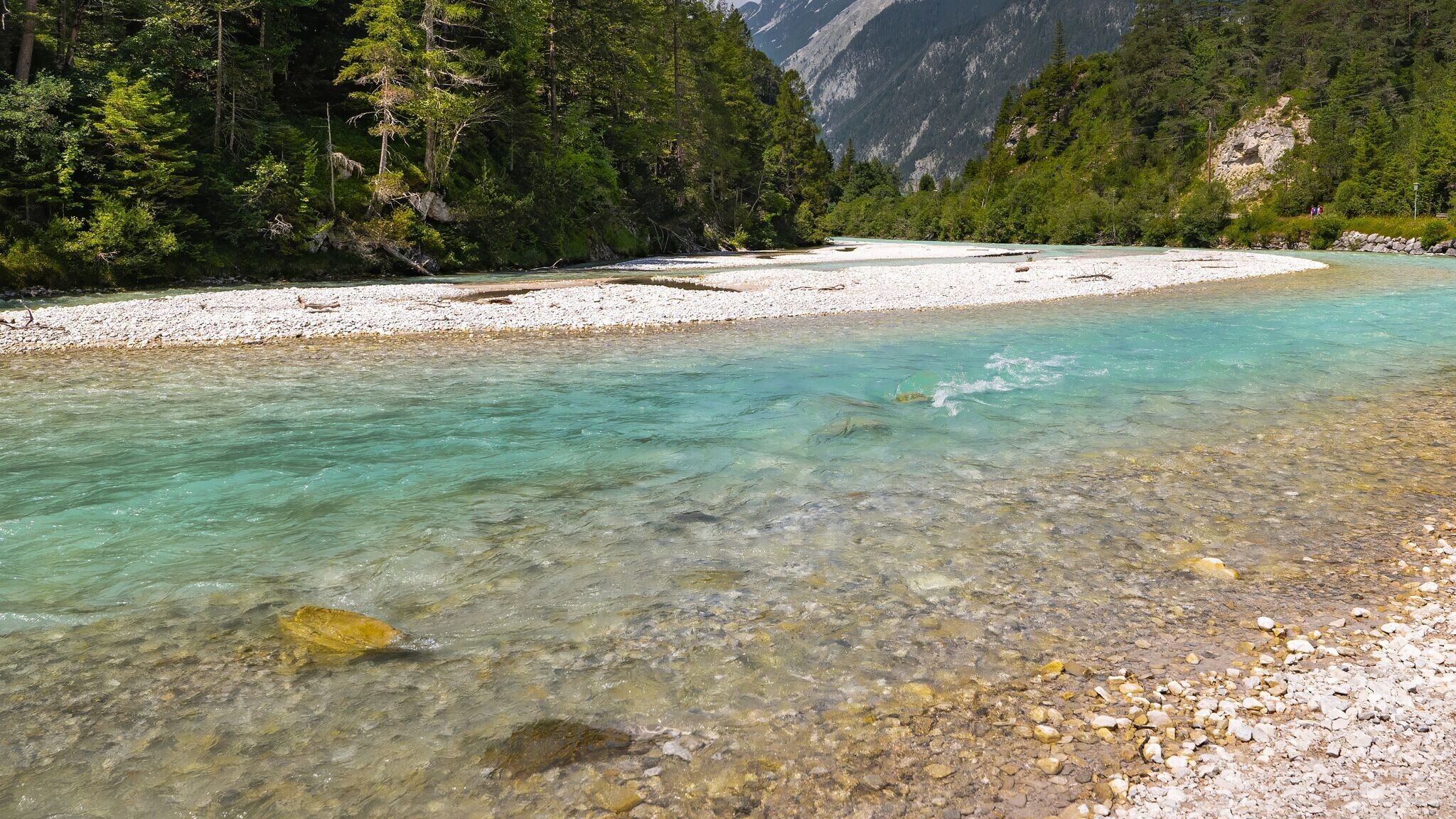
The hike into the picturesque Hinterautal valley begins at the Nature Park Info Center Scharnitz, located directly at Parking Lot P2 on Hinterautalstraße. At the start, follow the road for about 500 meters into the valley before the trail branches off to the right onto the Isarsteig. This narrow path meanders idyllically along the Isar and eventually leads to the end of the trail, where it joins the Nederweg.
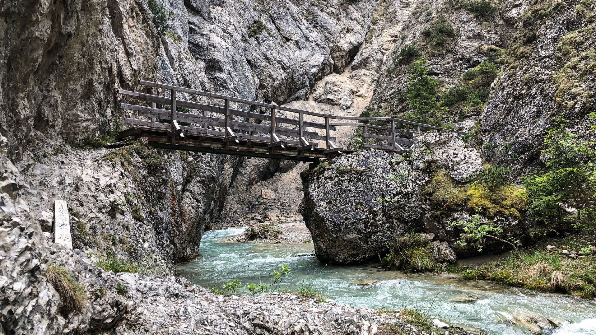
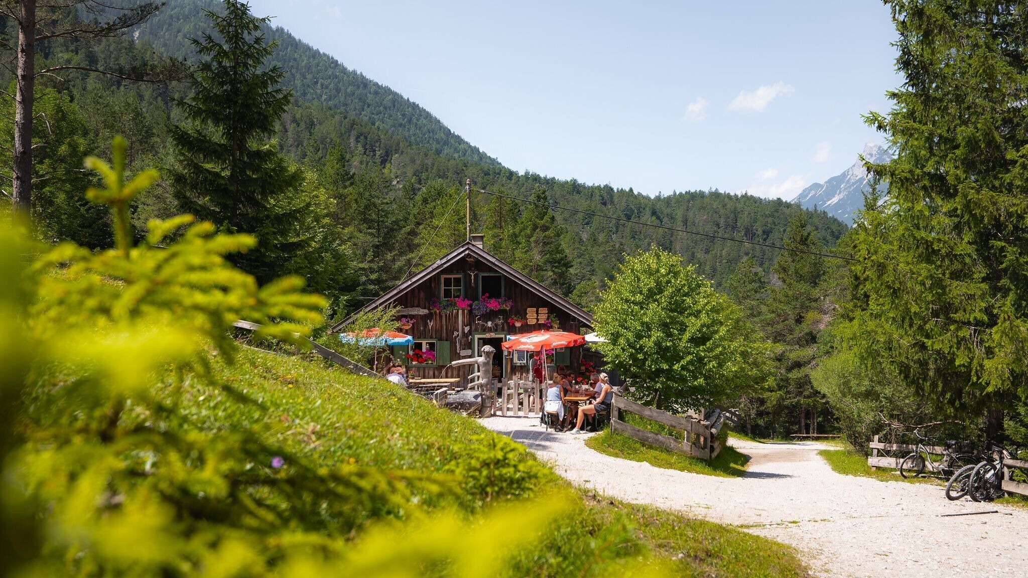
From here, continue straight ahead: the trail passes the charming Scharnitzer Alm, which blends beautifully into the alpine landscape, and leads directly to the entrance of the impressive Gleirschklamm. Opposite the gorge entrance, a well-marked trail ascends to the left towards the Gleirschhöhe. From there, you can enjoy a stunning view of the surrounding mountain scenery.
The descent follows a forestry road, where you head left down the valley. This pleasant path gently takes you back to the starting point at the Karwendel parking lot, where the hike concludes on a delightful note.
By train to Scharnitz train station, then a 10-minute walk to the starting point at the Nature Park Information Center.
All real-time connections can be found in the route planner.


.jpg")


.jpg")
.jpg")


.jpg")


.jpg")
.jpg")


 (2).jpg")


 Olympiaregion Seefeld")

