
Opening hours:Open today
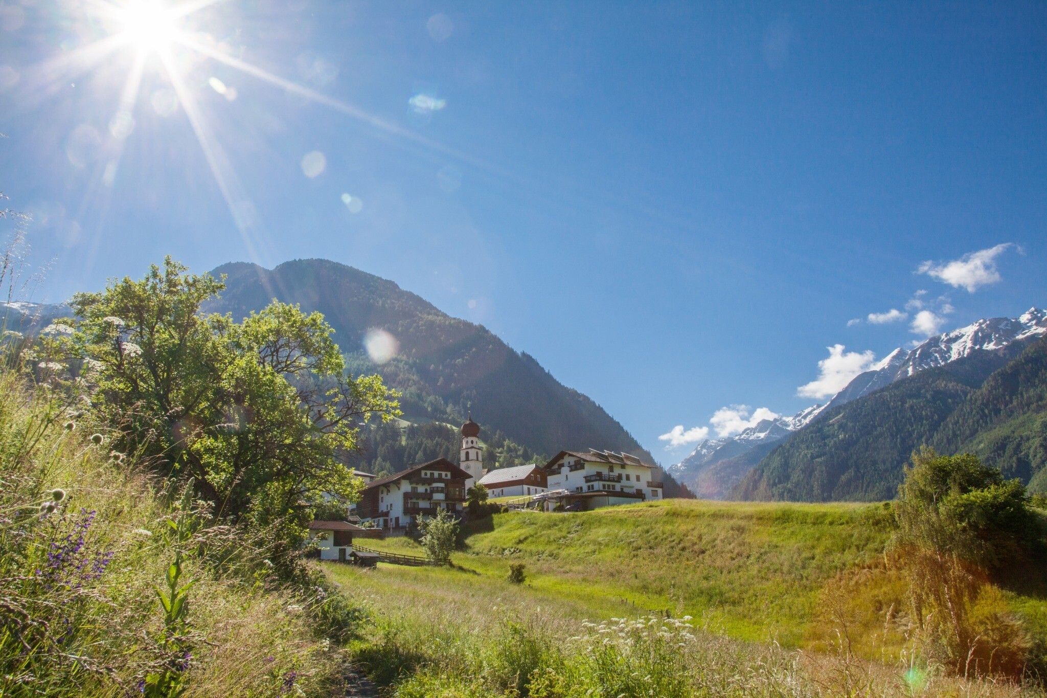
Place:Jerzens
:Restaurant, café
Circular route Jerzens - Pitzenhöfe - Jerzens
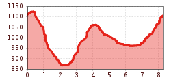
Starting point is the car park “Jerzens Kirche” (church) or the bus stop “Jerzens Dorf” (village) respectively. At first, walk through the village in the direction of Außergasse. Follow the signposts after a few hundred meters to the left in the direction of “Pitzenhöfe”, which you will reach after an approx. 40 minute walk. Once you’ve reached the tarmac road, turn left and after the bridge turn left again and continue to walk in the direction of “Wenns”. Walk on this forest road until you read the signposts “Matzlewald” or “Kienberg”. After crossing the Pitztal road a steep path takes you up to another forest road which takes you to Kienberg and past the Restaurant Mountain Camp (short detour) back to Jerzens.


.jpg")
.jpg")


.jpg")


.jpg")


 Sportalpen (21).jpg")
