Mountain hikes Embachrunde

Mariastein / Brandenberg Alps (Rofan)
Difficulty ratings: easy
Route length: 5.2 km
Duration: 1:41 h

Embachrunde

Tour information

  • Requirement: easy
  • Length: 5.2 km
  • Duration: 1:41 h
  • Elevation uphill:130 hm
  • Elevation downhill:139 hm

Starting point

Parkplatz Mariastein

Finishing point

Parkplatz Mariastein
  • Fitness level 1 / 6
  • Technique 1 / 6

Best time of year

  • January
  • February
  • March
  • April
  • May
  • June
  • July
  • August
  • September
  • October
  • November
  • December

Trail condition

Asphalt

Equipment

Outdoor clothing, sturdy shoes 
Source: Kitzbüheler Alpen Management GmbH

Description

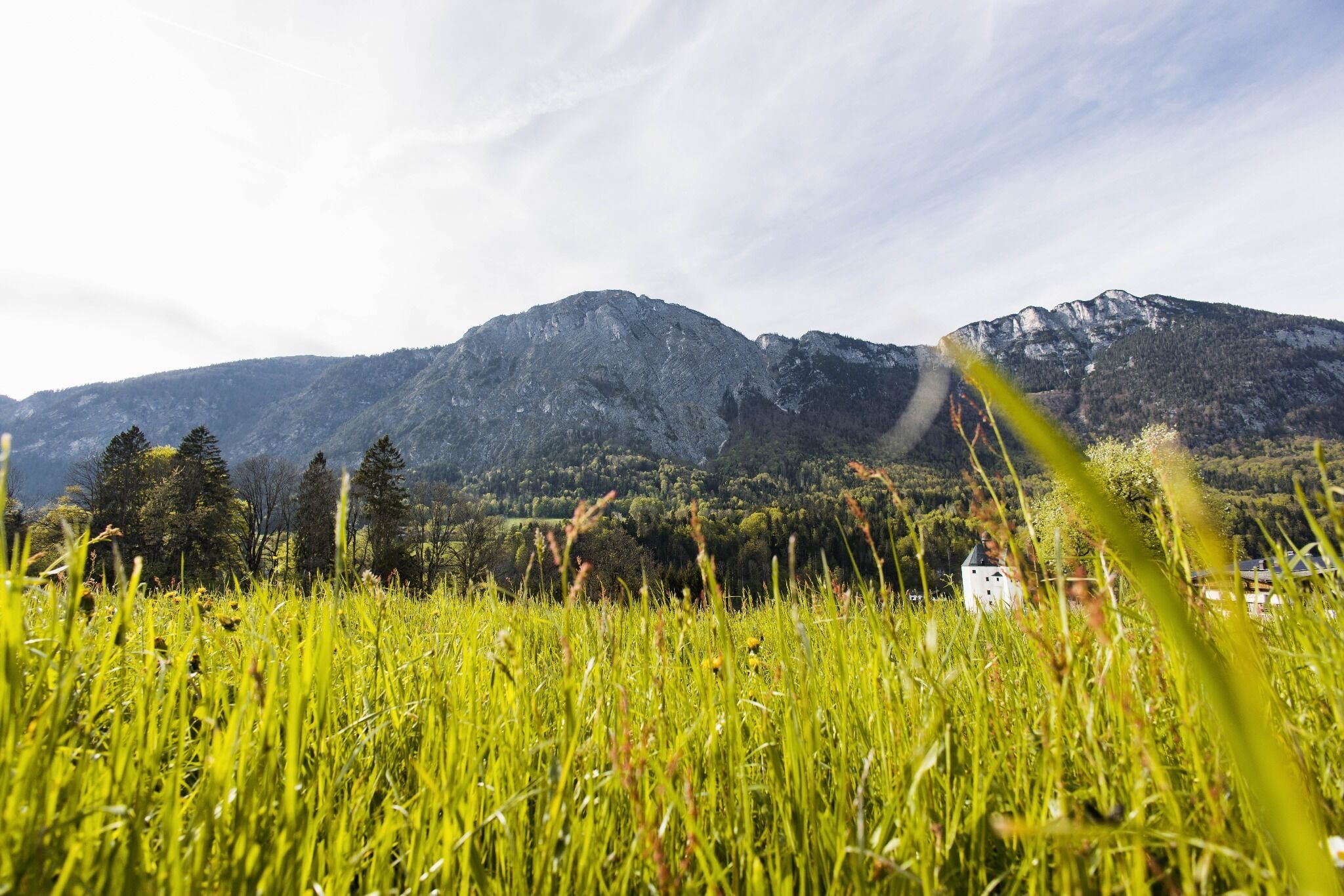
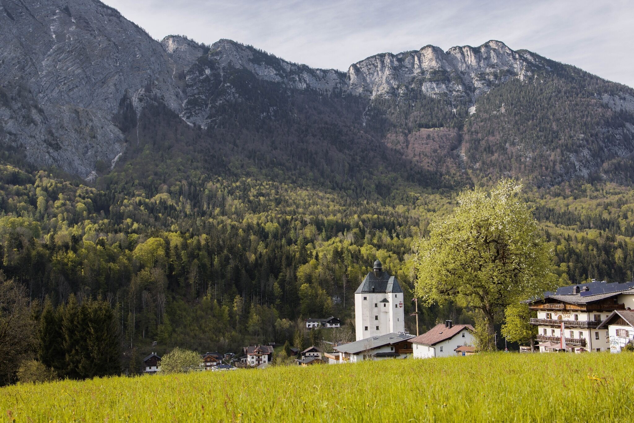
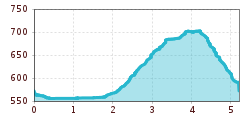
The starting point of this circular hike is the parking lot Moosbach in Mariastein. From there, along the Moosbach stream, follow the signs for no. 3 Embachrunde. At the hotel Kraftquelle Schlossblick turn right into the district Embach. Continue along the forest following the signs (No. 3) back to the starting point.

Getting here

  • Arrival by public transport

    Bus: "Mariastein Pilgrimage Church

    Guest card of the region = train ticket from Wörgl to Hochfilzen + bus ticket from Mariastein to Kitzbühel included

    More detailed information: www.hohe-salve.com/mobility
     

  • Parking

    directly at the Mariastein car park

More tours in the surrounding area

  • Kaunerberger Wasserweg

    Difficulty:medium
    Length:15.2 kmDuration:6:00 hElevation uphill:935 m
  • Rolli-Wanderung Aifner Alm

    Difficulty:medium
    Length:6.0 kmDuration:2:30 hElevation uphill:460 m
  • Hohe Aifnerspitze (2.779 m)

    Difficulty:medium
    Length:7.2 kmDuration:5:15 hElevation uphill:815 m
  • Möslalmkogel via Wörgl

    Difficulty:medium
    Length:10.3 kmDuration:3:30 hElevation uphill:580 m
Newsletter

The mountain is calling? So does our newsletter!

In our monthly newsletter we reveal the best holiday tips for Tyrol.