
Opening hours:Today closed
Place:Galtür
:Restaurant, Alpine pasture / hut / mountain restaurant, café
Easy circular hike around the Silvretta reservoir
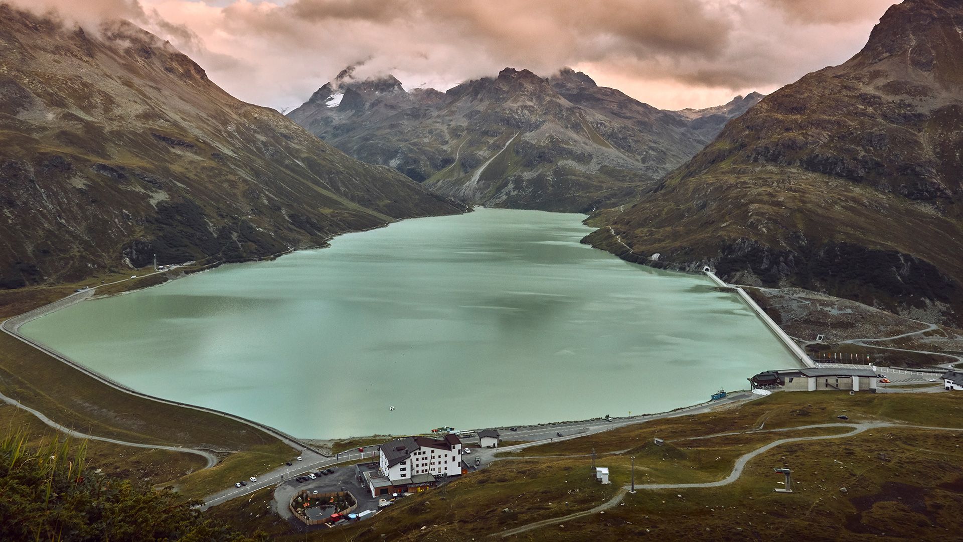

By car or by bus get to the Bielerhöhe at 2.037m. The circular hike along the reservoir dam starts here, passing a waterfall that plunges into Bieltalbach, until you come to the southern banks of the lake. Then follow the western banks back, until you once again come to the Bielerhöhe. Enjoy the impressive mountain panorama, with views to the mighty Piz Buin at 3.312 m. Return section: by car or bus back to Galtür.
With the railway station in Landeck, the Paznaun is optimally connected to the Austrian train network. From Landeck-Zams station, only a short bus ride separates you from the Paznaun. Every half hour, line bus 260 runs from there through the valley. Bus stop: Bielerhöhe Silvrettasee
Buses in the Paznaun valley | Region Paznaun – Ischgl


.jpg")
")


")


 Mirja Geh (26).jpg")


Manfred Pfister.jpg")

.jpg")


