Mountain hikes Gern Alm - Satteljoch

Difficulty ratings: medium
Route length: 10.2 km
Duration: 5:00 h

Gern Alm - Satteljoch

Tour information

  • Requirement: medium
  • Length: 10.2 km
  • Duration: 5:00 h
  • Elevation uphill:785 hm
  • Elevation downhill:785 hm
Highest point1,935 m

Starting point

Pertisau, Gern Alm

Finishing point

Pertisau, Gern Alm

Best time of year

  • January
  • February
  • March
  • April
  • May
  • June
  • July
  • August
  • September
  • October
  • November
  • December

Trail condition

forest road, hiking trail

Equipment

Sturdy boots (ankle-high hiking boots), weather appropriate clothing. Telescopic hiking poles are recommended.

Description

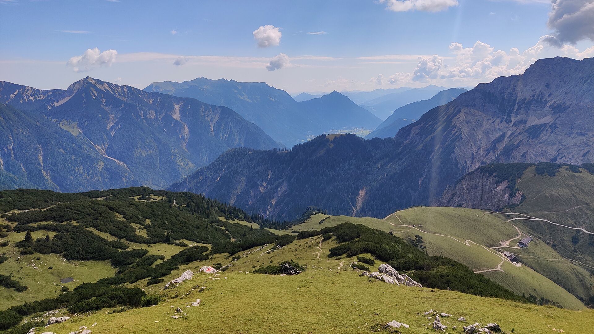
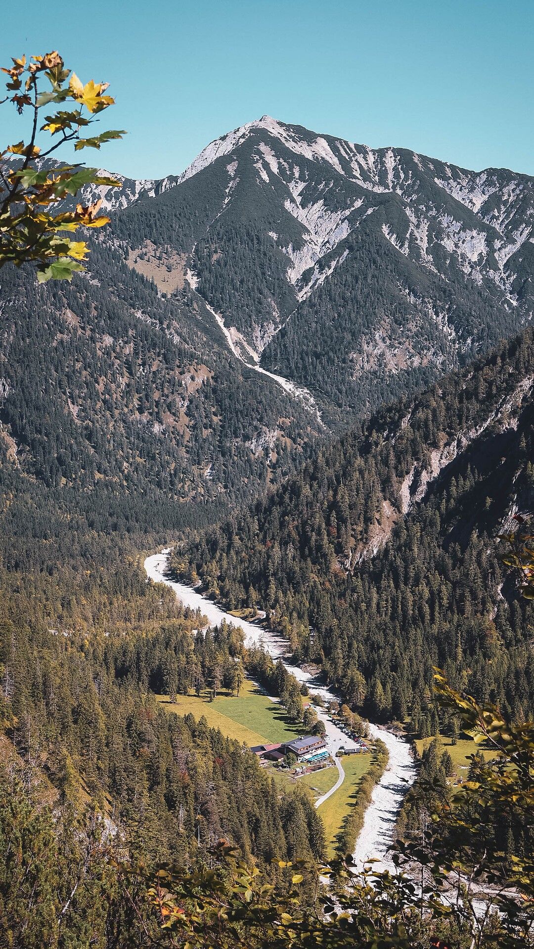
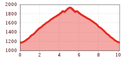
From the Gern Alm you hike up an uphill path to the Plumssattel. Follow the signposted path in the direction of Plumsjoch/Montscheinspitze. Until just before the ascent to the Plumsjoch, take the path to the left to the Satteljoch. Alternatively, an ascent from the Hagelhütten in the Rißtal via the Plumsjochhütte or Hasentalalm is also possible.

Nearby huts and mountain restaurants

Getting here

  • Parking

    Car park of the Gern Alm. 

More tours in the surrounding area

Newsletter

The mountain is calling? So does our newsletter!

In our monthly newsletter we reveal the best holiday tips for Tyrol.