Mountain hikes High Trail Trophy Hiking Route

Wildschönau / Kitzbüheler Alpen
Difficulty ratings: medium
Route length: 15.3 km

15 kilometers of hiking fun on the Wildschönau High Trail

Tour information

  • Requirement: medium
  • Length: 15.3 km
  • Elevation uphill:1,000 hm
  • Elevation downhill:1,250 hm
Highest point1,990 m

Starting point

Markbachjoch cable car mountain station, Niederau

Finishing point

Schönangeralm, Auffach
  • Fitness level 4 / 6
  • Technique 3 / 6

Best time of year

  • January
  • February
  • March
  • April
  • May
  • June
  • July
  • August
  • September
  • October
  • November
  • December
Source: TVB Wildschönau

Description

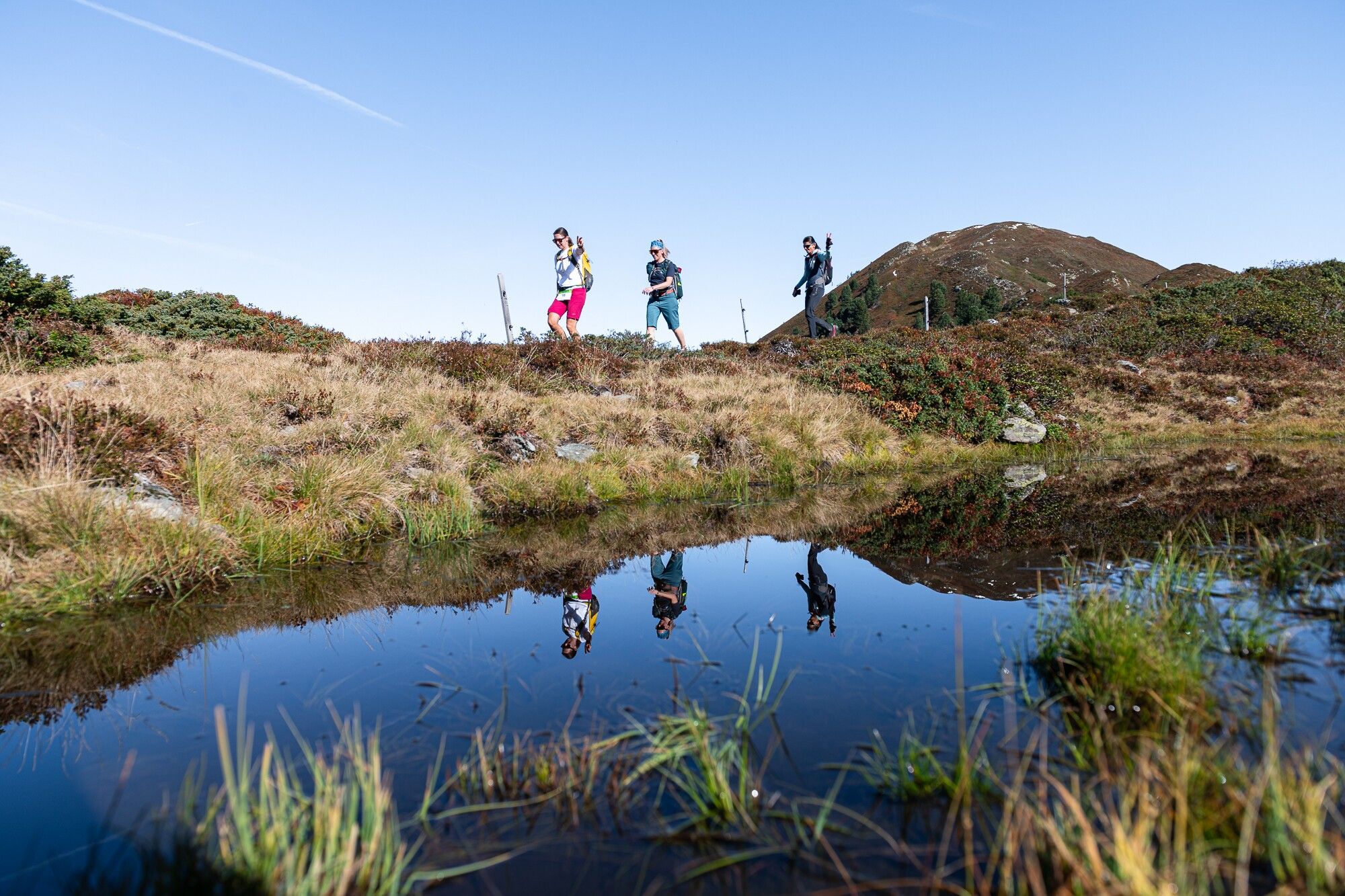
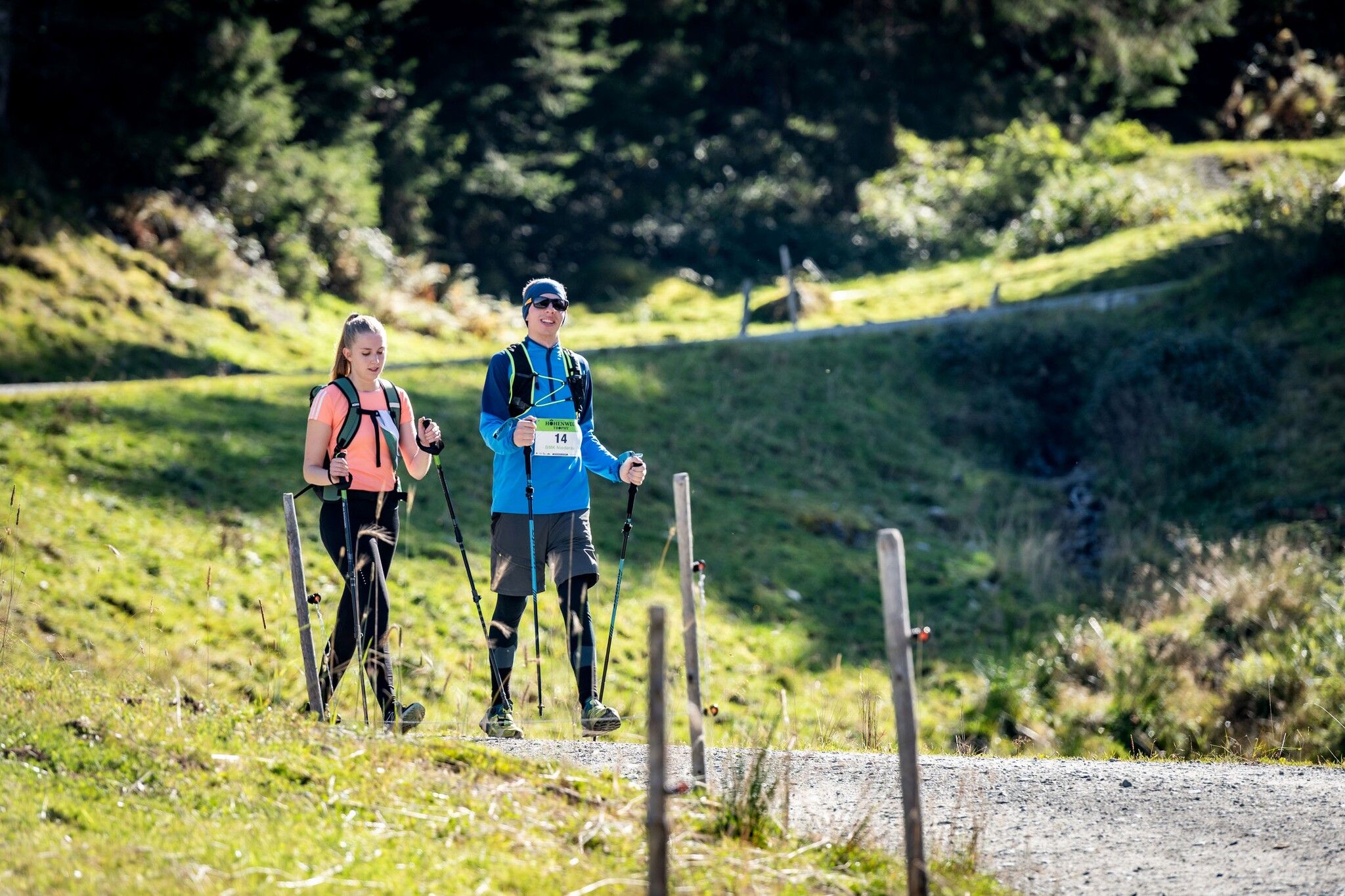
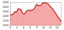
The hiking route for individual hikers and teams of three starts at the Markbachjoch cable car mountain station in Niederau. It continues over the following peaks:

  • Rosskopf
  • Feldalphorn
  • Schwaigberghorn
  • Breiteggern
The destination is the Schönangeralm at the end of the Wildschönau valley in Auffach.

Getting here

  • Parking

    There is ample parking available at the Markbachjochbahn valley station.

    Address:
    Dorfstraße, Niederau 91a
    6314 Wildschönau
    Tyrol

More tours in the surrounding area

  • Breitegg tour

    Difficulty:medium
    Length:11.0 kmDuration:5:00 hElevation uphill:680 m
  • The Wildschönau High Trail

    Difficulty:medium
    Length:14.8 kmDuration:6:30 hElevation uphill:760 m
  • Kundl Gorge

    Opening hours:closed
    Difficulty:easy
    Length:6.5 kmDuration:3:00 hElevation uphill:10 m
  • Schatzberg and Joel Spitze

    Difficulty:medium
    Length:7.3 kmDuration:3:00 hElevation uphill:400 m
  • Winter walk Schönanger

    Difficulty:easy
    Length:3.6 kmDuration:1:00 hElevation uphill:80 m
Newsletter

The mountain is calling? So does our newsletter!

In our monthly newsletter we reveal the best holiday tips for Tyrol.