 Victoria Hoertnagl_Mislalm_navis (6).jpg")
Opening hours:closed
Place:Navis
:Alpine pasture / hut / mountain restaurant
A hike from Pfons to the unique Obersee lake with a view of the Serles mountain
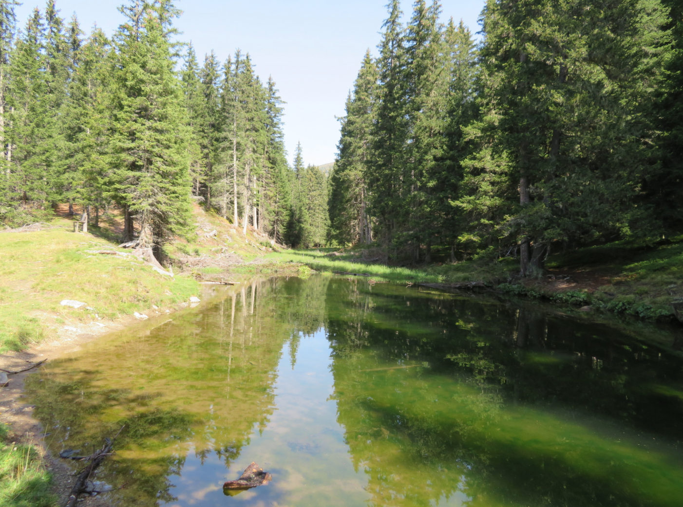
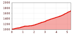
The hike starts at the Pfons Gemeindeamt car park and continues via the Kraftsee lake near St. Michael on a forest road into the Pfoner forest and then on a path via the Untersee lake to the Obersee lake.
The hike can be continued to the Mislalm and Wetterkreuz.
Take the regional bus 4141 "Innsbruck via Ellbögen/Patsch" from Matrei a. Br. to "Gemeindeamt Pfons" [exact journey times at www.vvt.at]
Car park of the municipality of Pfons.


.jpg")
")
")


.jpg")
