Opening hours:Today closed
Place:
Kramsach
:
Restaurant
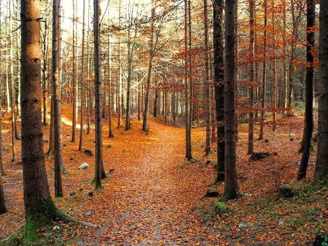
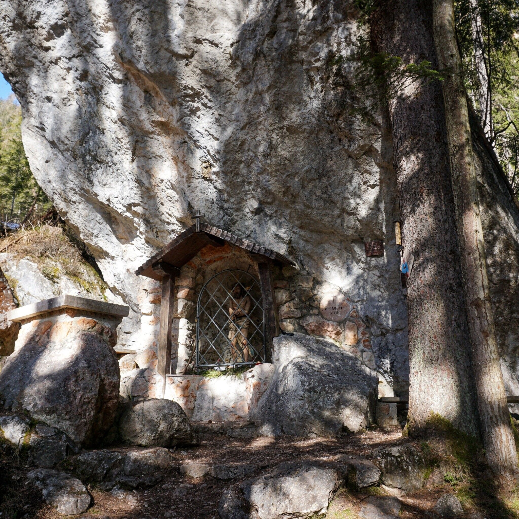
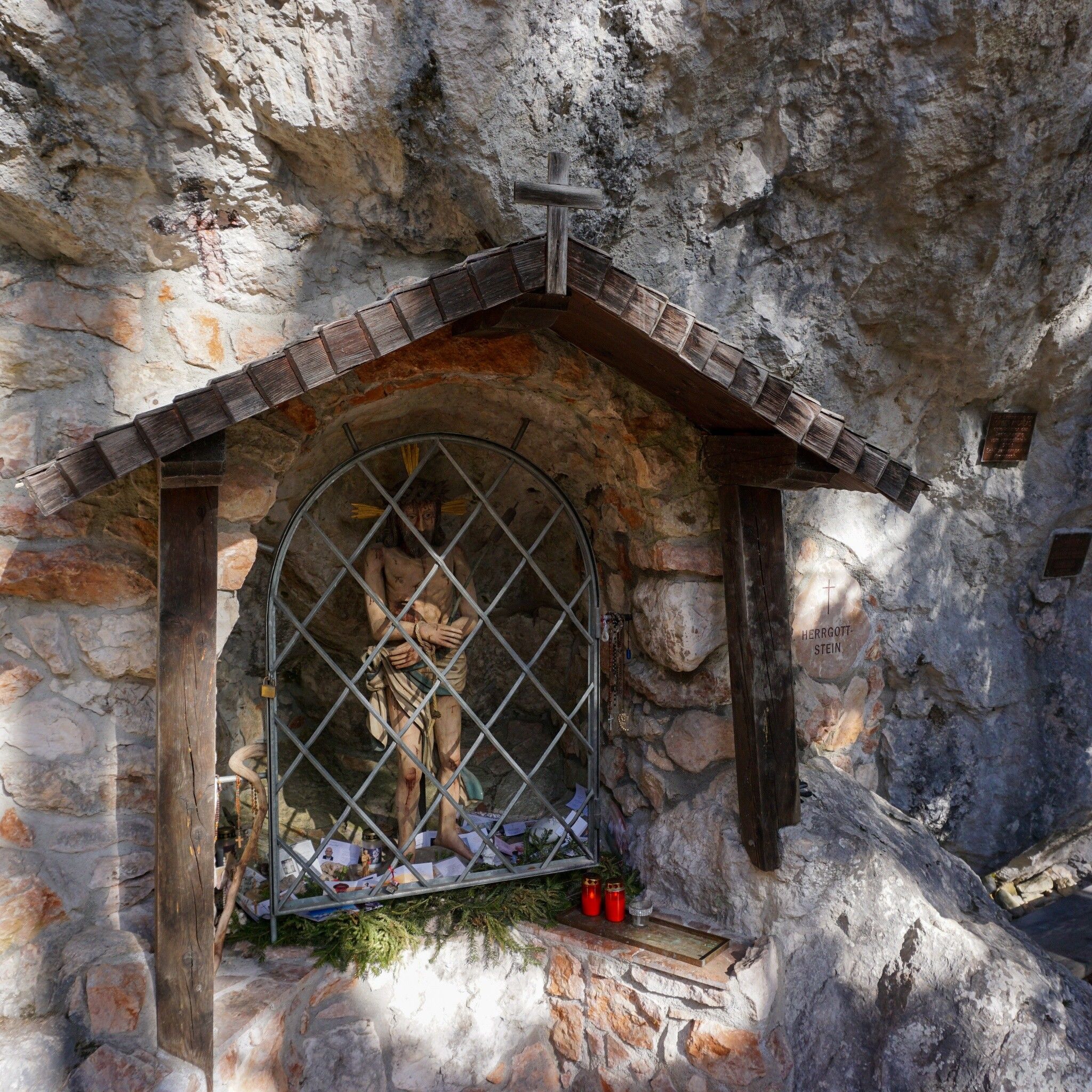
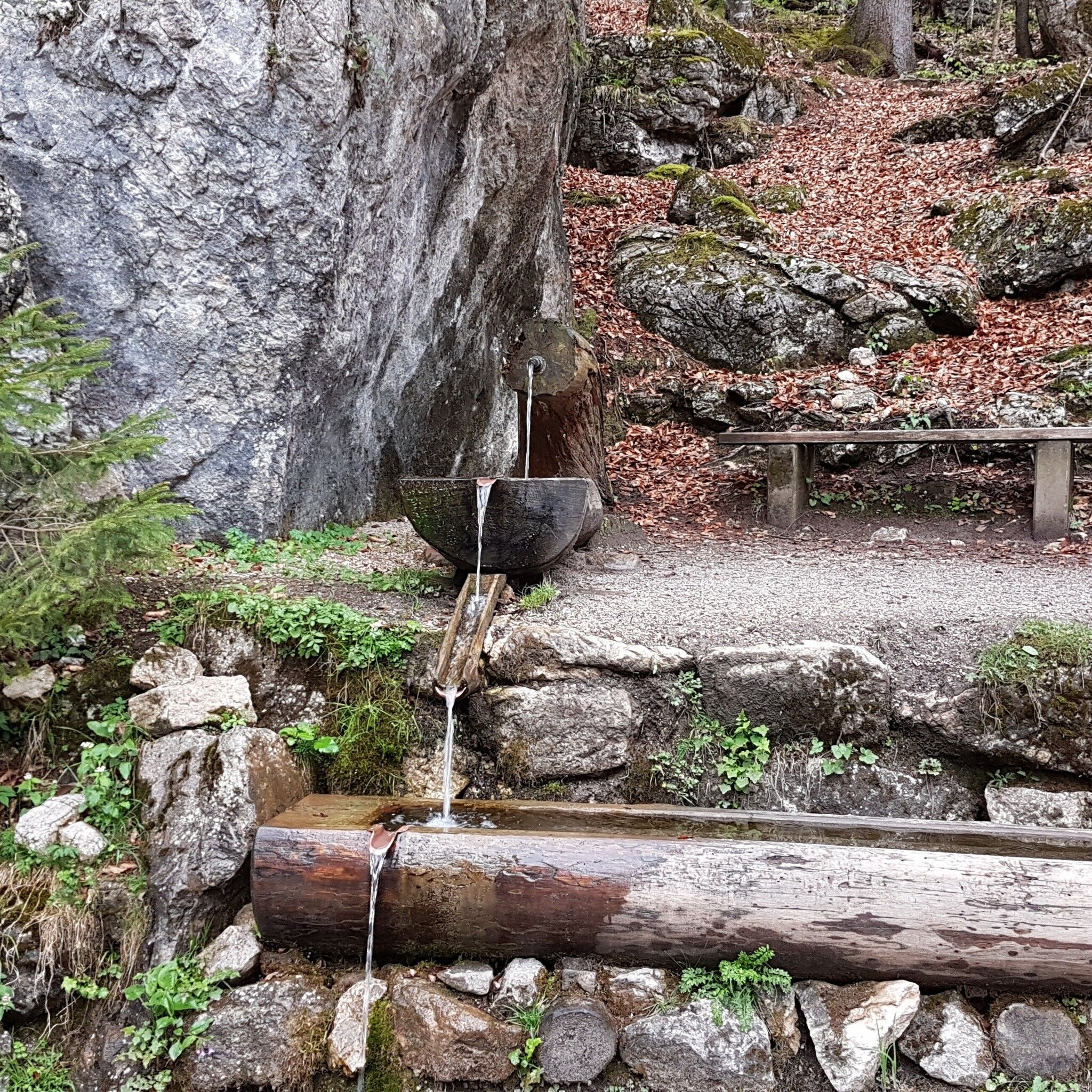
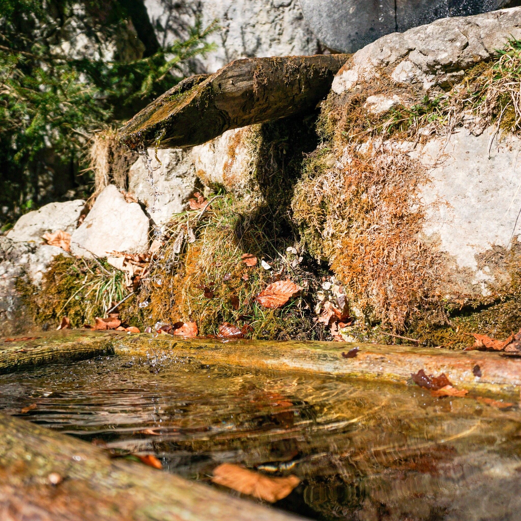
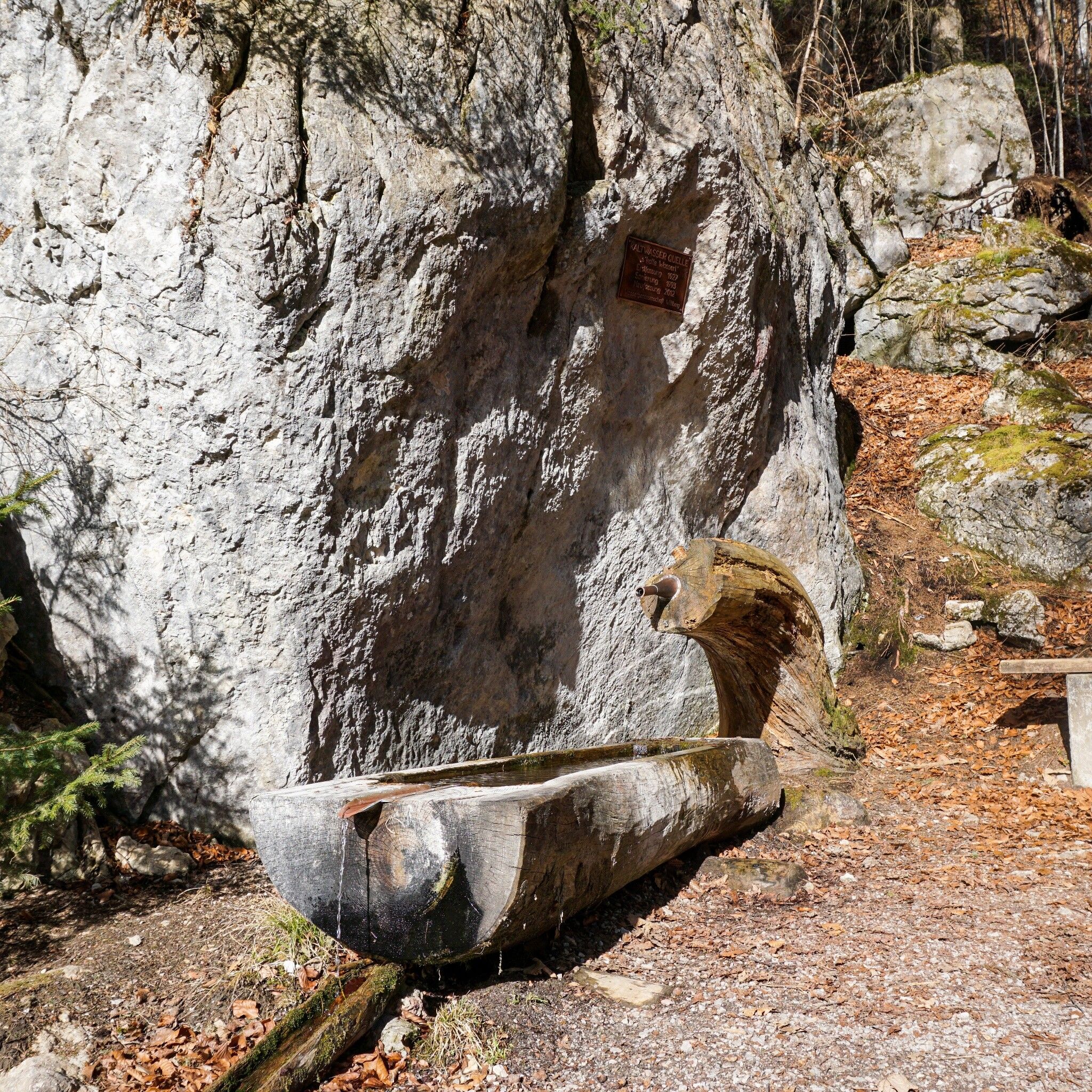
Varied hike through the forest, with rest stops at the "Herrgottstein" and the "Kalten Wasserl"
Sturdy footwear, weather clothing
Sturdy shoes weather clothing
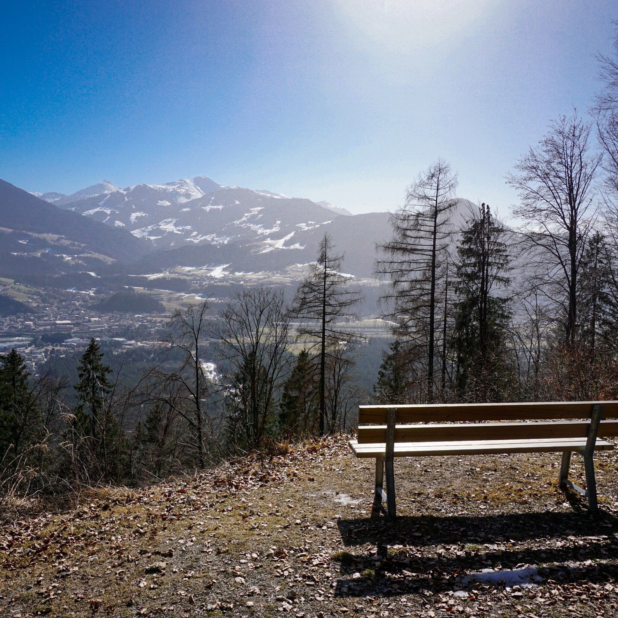
At the former valley station of the Sonnwendjochbergbahn, walk to the right past the platter lift and alongside the lift route to the mountain station, briefly across the meadow, and then always follow the signs for "Herrgottstein" or "Bayreuther Hütte". The forest road passes the quarry and after a while leads into a path. This then ascends steeply up to the "Herrgottstein" - a large stone with a cross and resting place. Now follow the signs for "Kramsach/valley station". After about 15 minutes you reach the "Kalten Wasserl" - from here a forest road leads down to the starting point.
www.vvt.at Bus 603 or 611
former Sonnwendjochbergbahn


")


