
Öffnungszeiten:Heute geöffnet
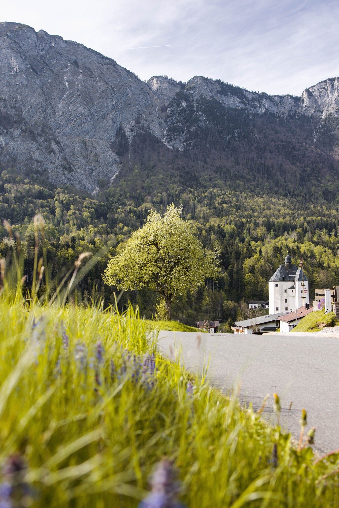
Ort:Mariastein
:Restaurant, Tavern
Enjoy a long walk along picturesque chapels and idyllic paths
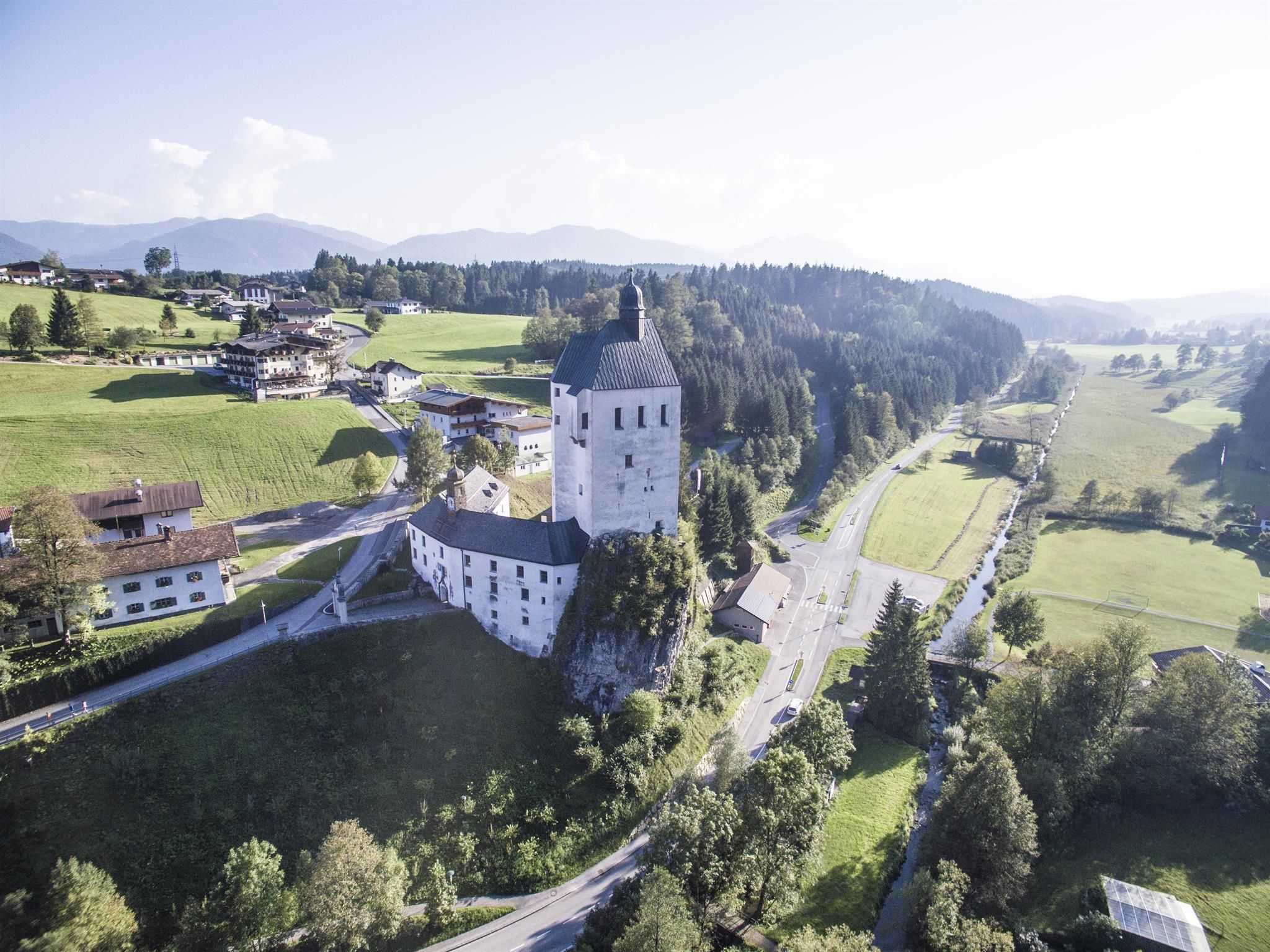

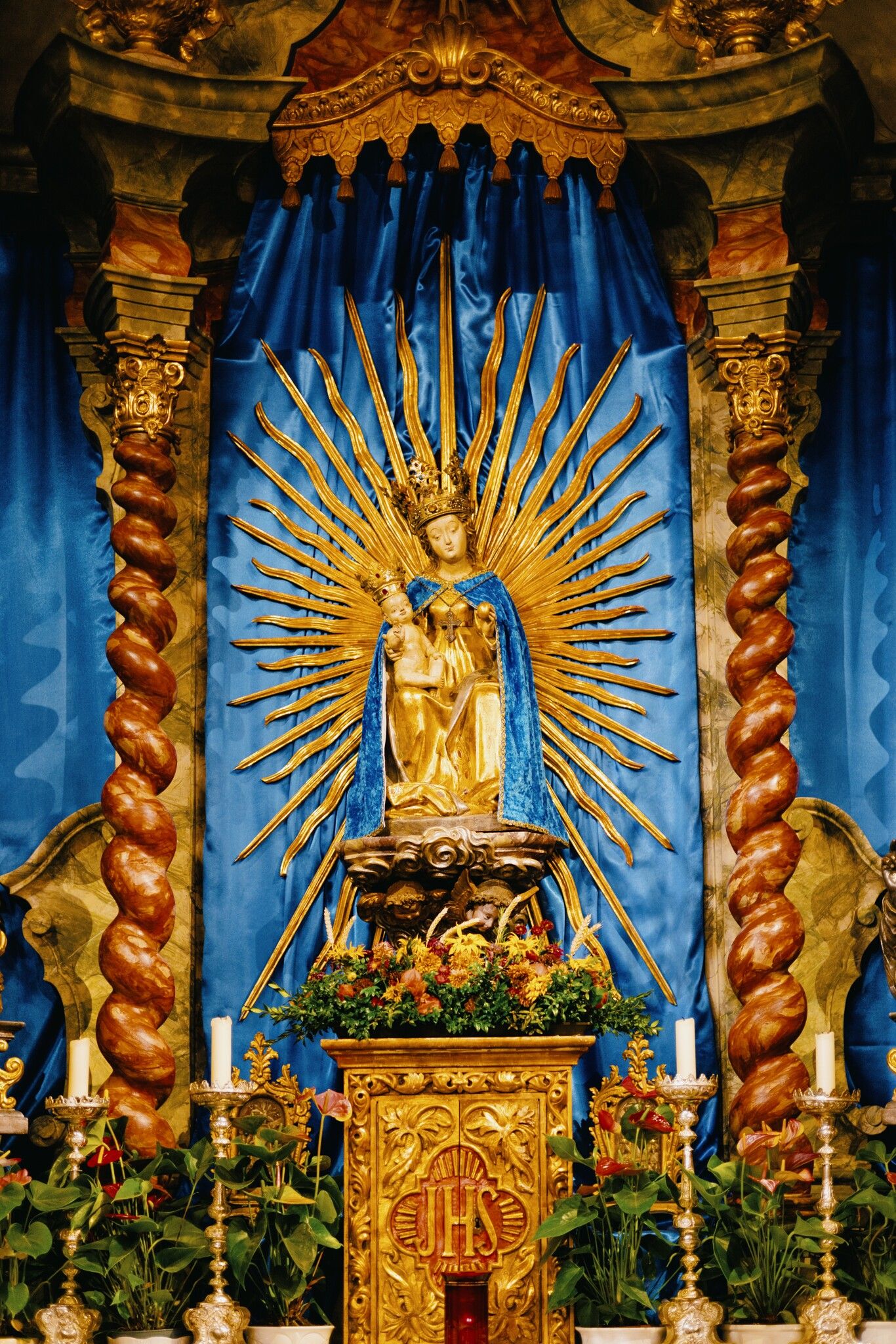
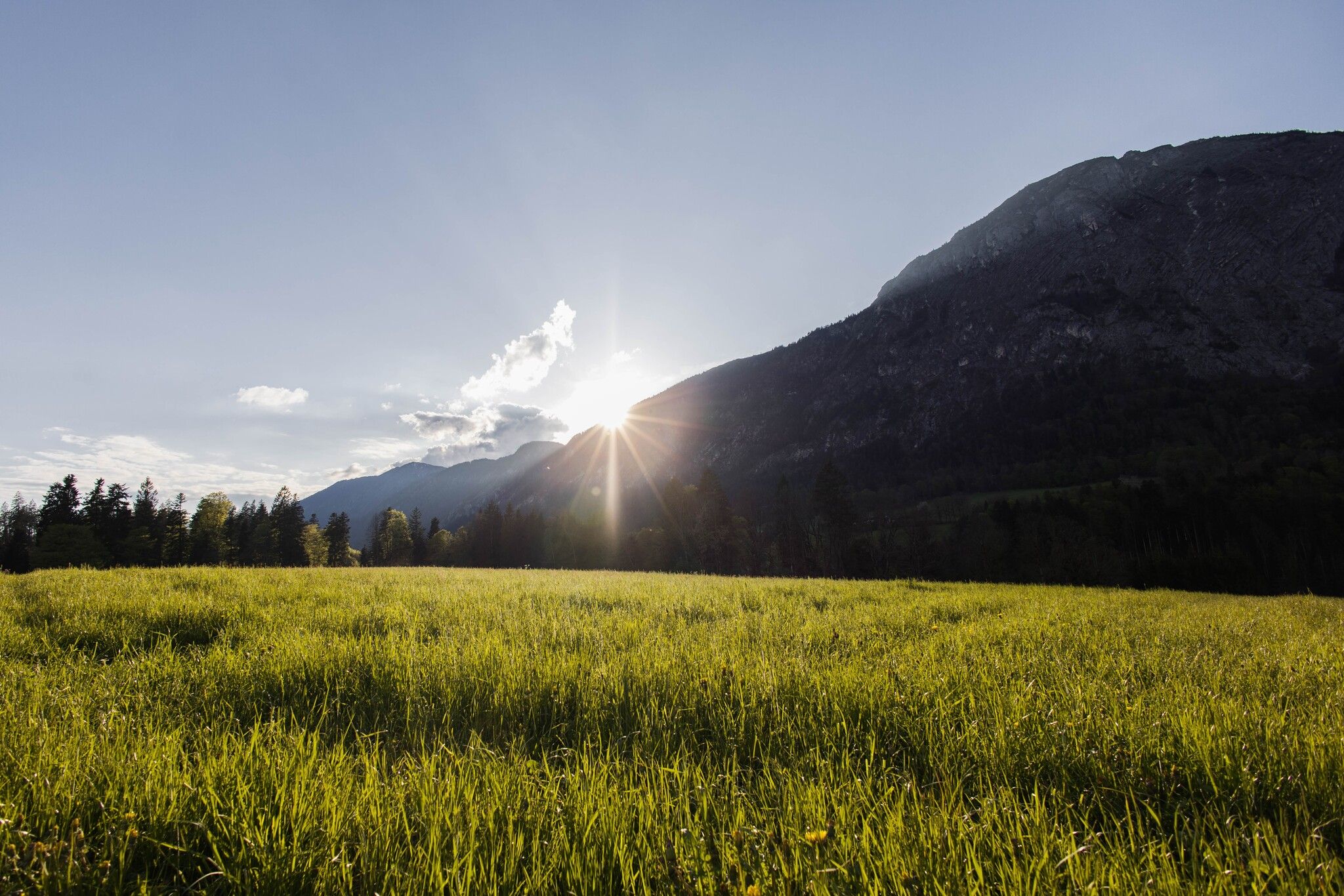
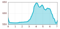
The starting point of the chapel hike is at the pilgrimage church in Mariastein. From there, the trail first descends somewhat steeply to the Moosbach stream. You then follow this on the parallel path (no. 2).
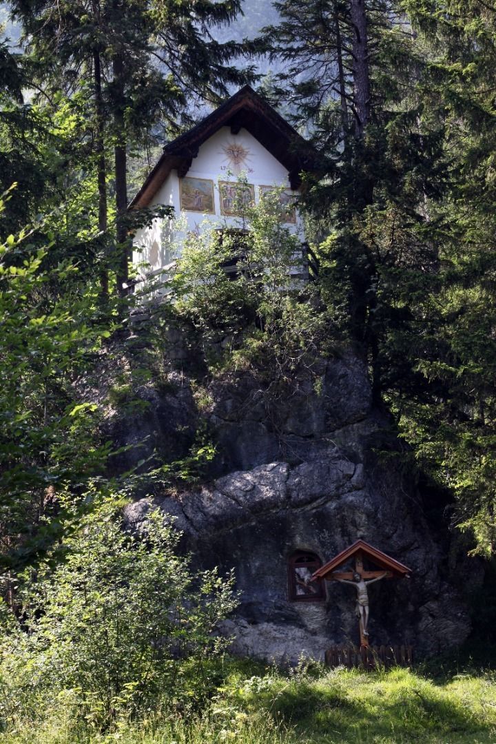
From the stone chapel, you then take a narrow forest path towards Rading, the start of the hike to Buchacker, the local mountain of the people of Angerberg. Here the path leads to the asphalted local road, from where you reach the Gatterer Chapel. After another 15 minutes on foot, you reach the Wartlstein Chapel.
Continue along the old local road to Mariastein, to the pilgrimage church.
Return to the starting point along the same path.
bus: Bushaltestelle Angerberg Franzlerbrücke
Guest card of the region = train ticket from Kirchbichl to Hochfilzen + bus ticket from Mariastein to Kitzbühel included!
Valid on ÖBB local trains (S, REX) and InterRegio trains (IR) between Kirchbichl - Wörgl and Hochfilzen.
Not valid on RJ, RJX, EC, IC, ICE, D and NJ/EN trains.
More detailed information: www.hohe-salve.com/mobility
Parking area Wallfahrtskirche Mariastein
Parking area Schneerosental, Angerberg
Parking area Buchackeraufstieg Angerberg
Pixabay")


.jpg")
.jpg")
.jpg")

