Mountain hikes Komperdell via Bödenkreuzweg

closed
Serfaus / Samnaungruppe
Difficulty ratings: easy
Route length: 6.8 km
Duration: 2:30 h

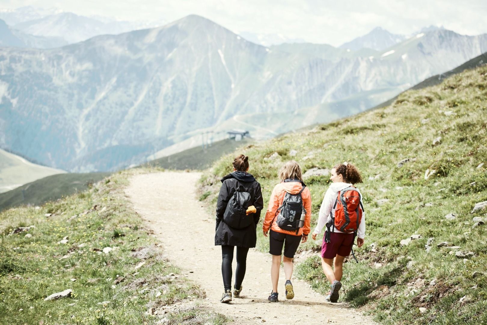
Vehicle track and path through a shady forest.

Tour information

  • Requirement: easy
  • Length: 6.8 km
  • Duration: 2:30 h
  • Elevation uphill:669 hm
  • Elevation downhill:105 hm
Highest point1,977 m

Starting point

Mühlbrücke bridge (Planq. B4)

Finishing point

Komperdell
Source: Serfaus-Fiss-Ladis

Description

Starting in Serfaus (S089, Mühlbrücke bridge), take the steep, asphalted road no. 11 towards Komperdell (Kölner Haus) until you reach the cattle gate (S092). From there, take trail no. 12 and then the Six Senses Trail until you reach the signpost S141. Continue on this trail and walk past Bödenkreuz until you reach a wide road (S130). Follow the trail no. 12 through the Brunstwald forest as far as signpost S128. Option: you can also take a trail partly below the road to reach the signpost. Continue on trail no. 12 to Außerhög and then walk all the way to Erlebnispark Hög (Hög Adventure Park). Take trail no 12a, walk past Hög Alm restaurant until the trail leads you to the turn-off S115. Follow the trail uphill to Oberer Komperellboden until you reach the turn-off S114. Continue on the Piratenweg (Pirates’ Trail) in westerly direction to signpost S102 at Murmliwasser park. You can reach Serfaus by taking Wiesenweg trail no. 9.

Nearby huts and mountain restaurants

More tours in the surrounding area

  • Wild Animals Trail

    Opening hours:closed
    Difficulty:easy
  • Forscherpfad

    Opening hours:closed
    Difficulty:easy
    Length:3.4 kmDuration:1:30 hElevation uphill:219 m
  • Fiss to the Oberen Sattelkopf

    Opening hours:closed
    Difficulty:medium
    Length:5.6 kmDuration:3:00 hElevation uphill:1,079 m
  • Marmot Trail

    Opening hours:closed
    Difficulty:easy
    Length:573 mDuration:0:20 hElevation uphill:12 m
  • Six Senses trail

    Opening hours:closed
    Difficulty:easy
    Length:6.5 kmDuration:4:00 hElevation uphill:99 m
  • Murmeltiersteig (Marmot alpine trail)

    Opening hours:closed
    Difficulty:medium
    Length:6.9 kmDuration:3:00 hElevation uphill:302 m
  • Six Senses trail

    Opening hours:open
    Difficulty:easy
    Length:5.7 kmDuration:4:00 h
Newsletter

The mountain is calling? So does our newsletter!

In our monthly newsletter we reveal the best holiday tips for Tyrol.