Mountain hikes Landeck-Perjen -Schrofenstein ruins

Landeck / Lechtal Alps
Difficulty ratings: medium
Route length: 2.1 km
Duration: 2:15 h

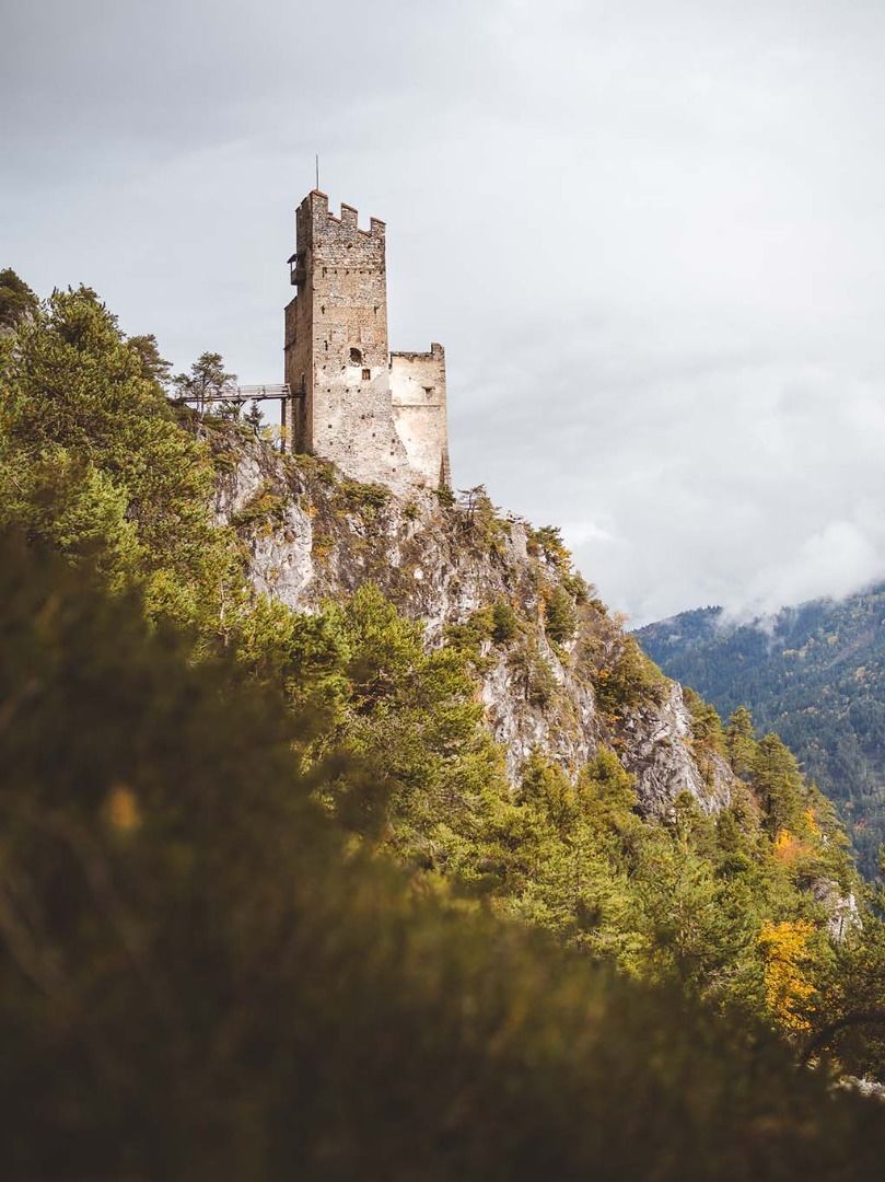
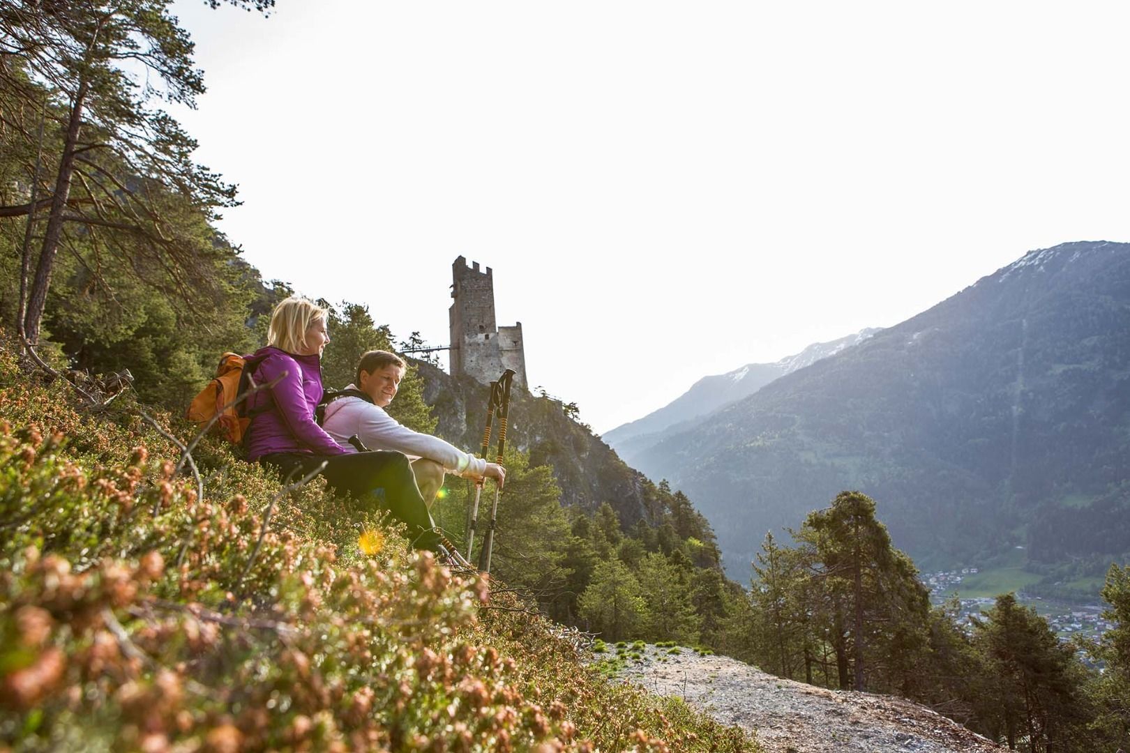
Partial sections of the Way of St. James take you up partly steep paths to the lookout point at the Schrofenstein ruins.
Tour information

  • Requirement: medium
  • Length: 2.1 km
  • Duration: 2:15 h
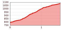
  • Elevation uphill:295 hm
  • Elevation downhill:295 hm
Highest point1,133 m

Starting point

Burgweg Landeck-Perjen

Finishing point

Schrofenstein Ruins
  • Fitness level 2 / 6
  • Technique 3 / 6

Best time of year

  • January
  • February
  • March
  • April
  • May
  • June
  • July
  • August
  • September
  • October
  • November
  • December
Source: TVB TirolWest

Description

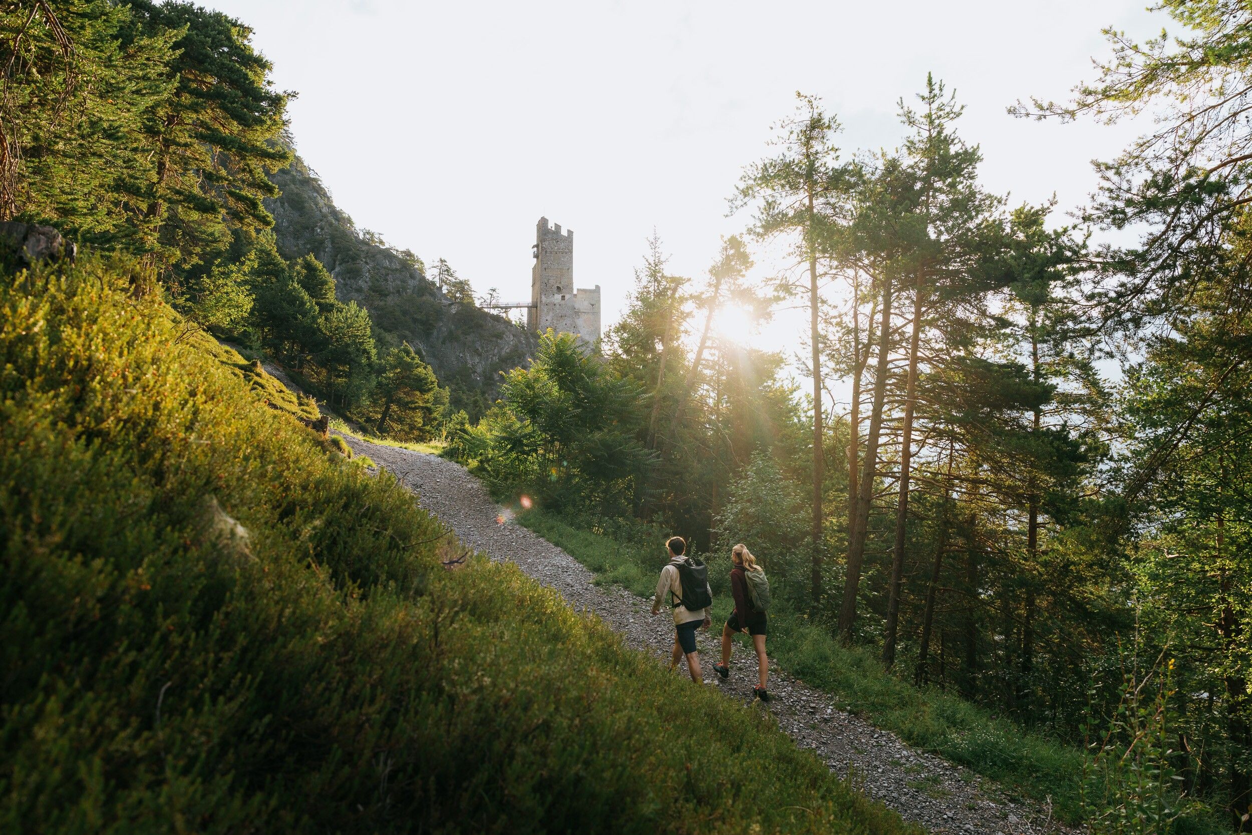
The starting point is the center of Perjen. Follow the Burgweg until you turn left into the Sonnenweg. Follow this path for about 350 m until a path turns off to the right and leads steeply uphill in the direction of the Schrofenstein ruins. Follow this path for about 300 m until you reach the junction Stanz and Ruin Schrofenstein. From there, continue uphill to the right for about 700 m until you reach the forest road. Follow the forest road to the lookout point (250 m) to the Schrofenstein ruins.

Getting here

  • Arrival by public transport

    To the Landeck-Zams train station. From there, walk to the starting point in Perjen.

Weather

Today

light rain showers
23°C/14°C
80%5.6l5 km/h

Wed

mainly clear
27°C/14°C
45%1.9l5 km/h

Thu

mainly clear
30°C/15°C
15%0l5 km/h
Go to weather forecast

More tours in the surrounding area

Newsletter

The mountain is calling? So does our newsletter!

In our monthly newsletter we reveal the best holiday tips for Tyrol.