Mountain hikes Marketplace tour Silleralm

Söll / Kitzbüheler Alpen
Difficulty ratings: easy
Route length: 4.0 km
Duration: 1:30 h

Culinary tour on the Hohe Salve

Tour information

  • Requirement: easy
  • Length: 4.0 km
  • Duration: 1:30 h
  • Elevation uphill:160 hm
  • Elevation downhill:160 hm
Highest point1,264 m

Starting point

Bergstation Rabennest (1.150 m)

Finishing point

Bergstation Rabennest (1.150 m)
  • Fitness level 1 / 6
  • Technique 1 / 6

Best time of year

  • January
  • February
  • March
  • April
  • May
  • June
  • July
  • August
  • September
  • October
  • November
  • December

Trail condition

The composition of the trail varies between asphalt and gravel

Equipment

Rucksack, weather-appropriate hiking gear (breathable), a change of clothes, sun protection (sunglasses, sun cream, lip protection, headgear), waterproofs (rain jacket/poncho, pocket umbrella, rucksack protector), cold protection (hat), sufficient drink, plastic bag for waste, cash
Source: TVB Wilder Kaiser

Description

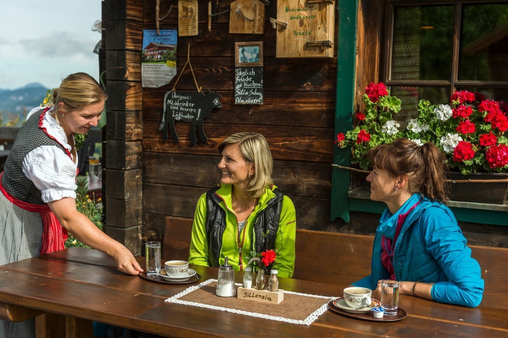
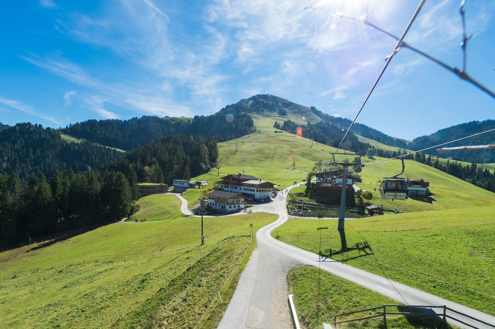
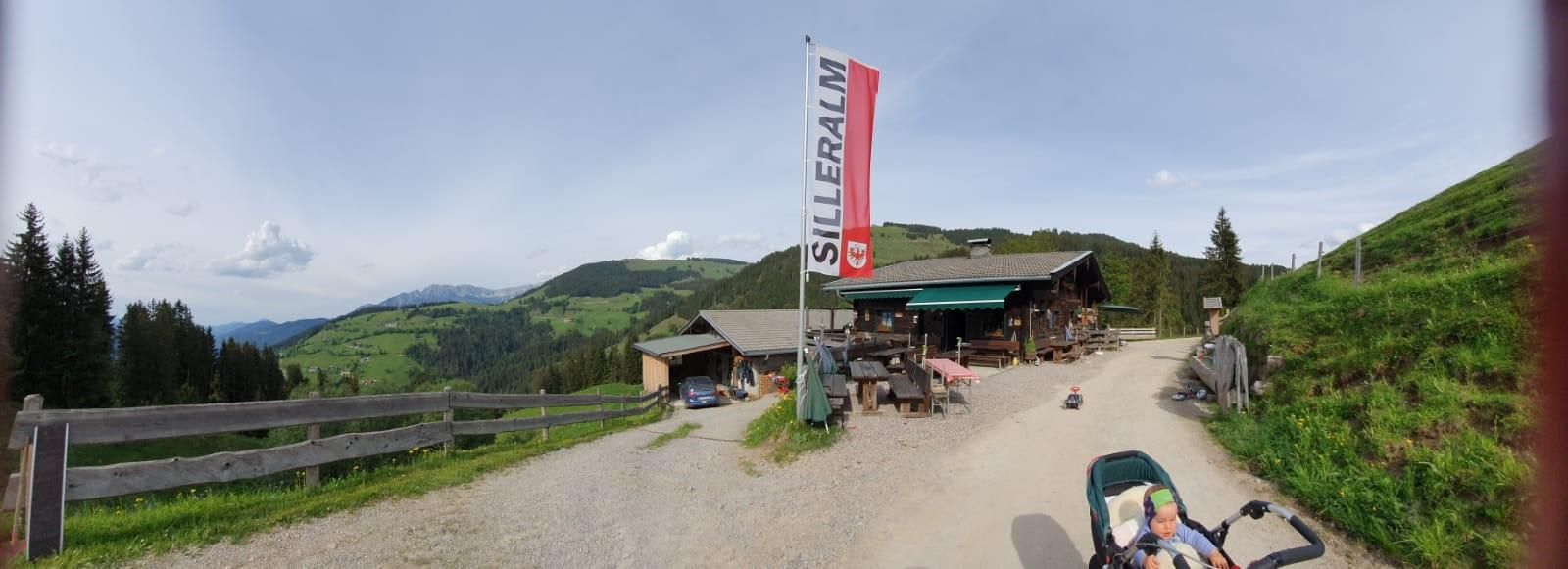
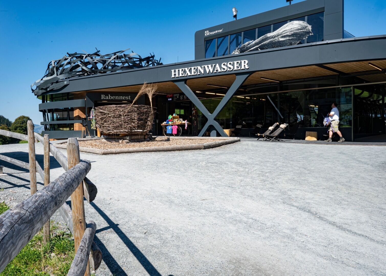
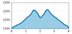
Start your tour comfortable with the gondola from the valley station Söll up to the Hexenwasser. Via the Skiwelt Panorama Trail No. 99 you hike along a wide forest path through woods and across meadows to the Silleralm. Always in the midmorning, after milking the cows, you have the opportunity to take a look at the cheese dairy. At the Silleralm you can also enjoy a hearty snack with tasty food from the Wilder Kaiser region. Well strengthened and rested legs, hike the same way back to the starting point.

Tip:
Alternatively, you can hike down into the valley, or follow one of the numerous hiking trails on the Hohe Salve.


Nearby huts and mountain restaurants

  • Silleralm

    Place: Söll
    : Alpine pasture / hut / mountain restaurant
    see restaurant details: Silleralm

Getting here

  • Arrival by public transport

    KaiserJet stop “Söll Gondelbahn Hochsöll – Hexenwasser”.
    More information at: www.wilderkaiser.info

  • Parking

    Parking area cable car valley station, Söll (725 m) – free

More tours in the surrounding area

  • Hintere Goinger Halt summit tour

    Difficulty: difficult
    Length: 9.3 km Duration: 6:30 h Elevation uphill: 1,090 m
  • Panoramic circuit Brandstadl–Hartkaiser

    Difficulty: easy
    Length: 6.0 km Duration: 1:50 h Elevation uphill: 170 m
  • Hochalm hike

    Difficulty: medium
    Length: 19.6 km Duration: 7:00 h Elevation uphill: 1,140 m
Newsletter

The mountain is calling? So does our newsletter!

In our monthly newsletter we reveal the best holiday tips for Tyrol.