
Difficulty:
easy
Length:
6.2 km
Duration:
2:00 h
Elevation uphill:
242 m
A grass mountain with sunny meadows at the valley entrance of Navis

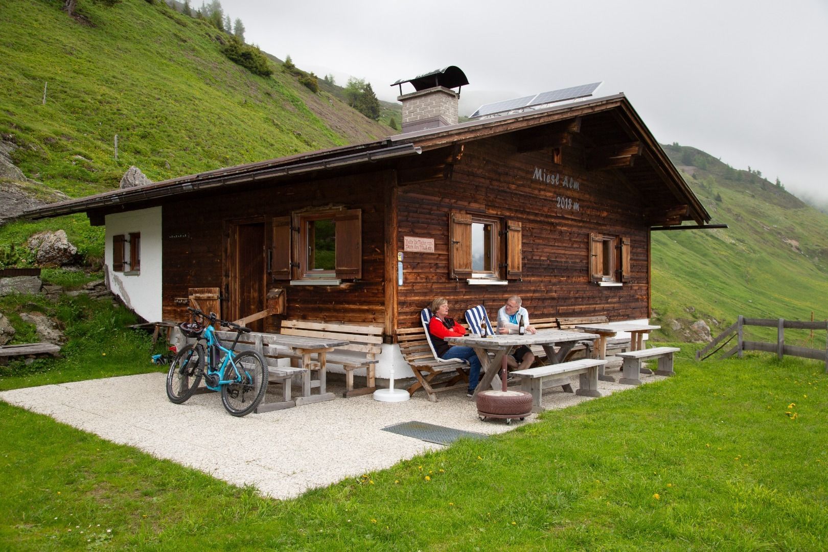

Starting point is the free parking lot at the Kerschbaum settlement at the beginning of the valley of Navis. From there, a forest path (No. 19) leads first through a wooded area and later over open alpine pastures to the managed Mislalm. From there you have a beautiful view into the rear Navis valley and over the northern Wipptal. Continue on a well-marked path (No. 19) behind the alpine pasture, on which one climbs up to the Mislböden and goes a bit quite steep up to the ridge of the Mislkopf. Over the wide ridge one follows the path to the summit with cross at 2.623m.
Descent like ascent.


.jpg")
")


 (1).jpg")


.JPG")

