
Opening hours:Open today
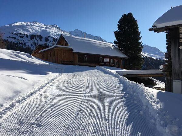
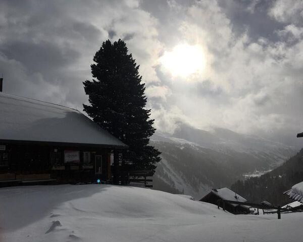
Place:Sölden
:Alpine pasture / hut / mountain restaurant
LENZENALM -> LENZENALM BUS STOP
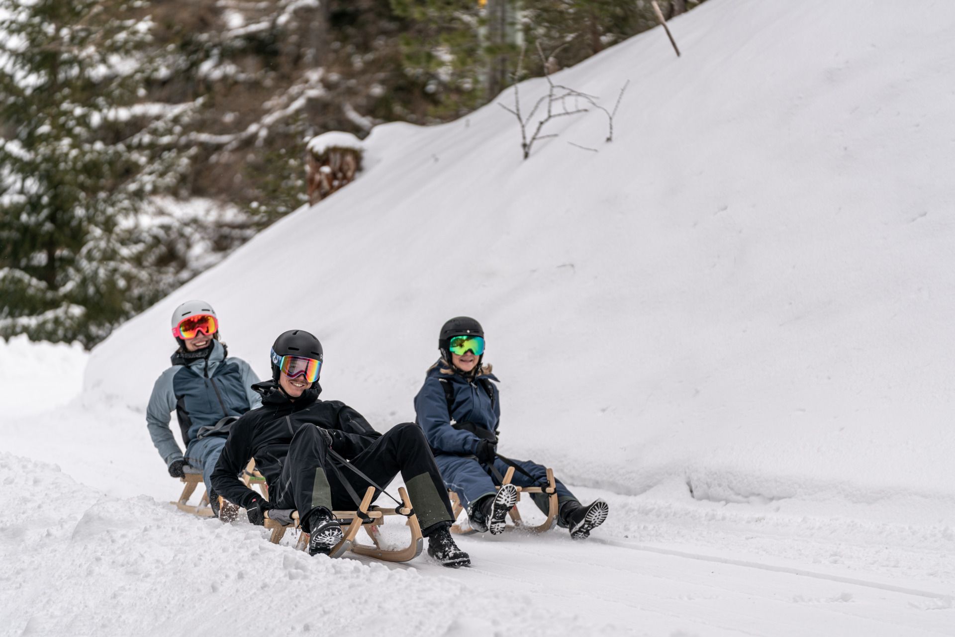
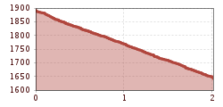
From Lenzenalm, follow a marked path downhill with sleds to the main road B186. Sleds can be rented at Lenzenalm.
Travel comfortably and safely by train to the Ötztal train station. The final stop or exit point is ÖTZTAL station. Afterwards, you can conveniently and quickly continue through the entire valley to your desired destination using public transport or local taxi services. The current bus schedule is available at: fahrplan.vvt.at
The following parking options are available in Gurgl:
Parking garage Village Center Obergurgl (turn right before the church), paid | € 2.00 per hour
Parking garage village entrance – Talstation Festkoglbahn, paid | € 6.00 per day
Parking lot Hochgurglbahn Talstation, free – no overnight parking
Parking lot Top Mountain Crosspoint, free
Parking lot Hochgurgl, free (very small parking lot)


.jpg")
")
")


.jpg")
