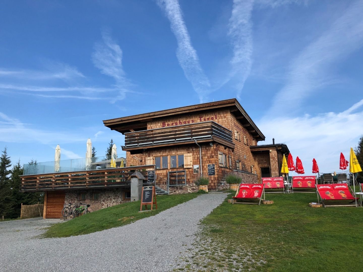
Berghaus TyrolOpening hours:Today closedPlace: Kitzbühel : Tavern, Alpine pasture / hut / mountain restaurant see restaurant detailssee restaurant details: Berghaus Tyrol
HahnenkammstüberlOpening hours:Today closedPlace: Kitzbühel : Tavern, Alpine pasture / hut / mountain restaurant see restaurant detailssee restaurant details: Hahnenkammstüberl
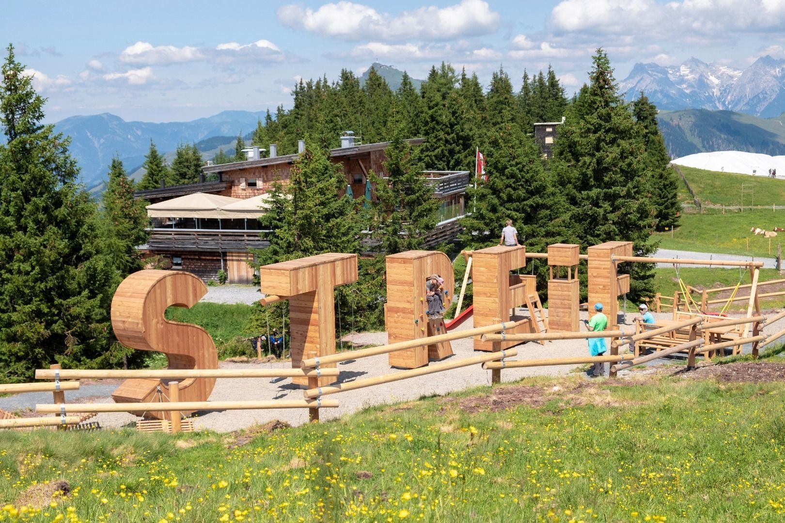
HocheckhütteOpening hours:Today closedPlace: Kitzbühel : Tavern, Alpine pasture / hut / mountain restaurant see restaurant detailssee restaurant details: Hocheckhütte
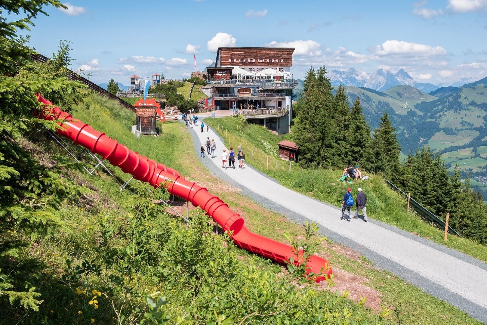
Hochkitzbühel by TomschyOpening hours:Today closedPlace: Kitzbühel : Tavern, Alpine pasture / hut / mountain restaurant see restaurant detailssee restaurant details: Hochkitzbühel by Tomschy
Lasörling altitude trailDifficulty: medium Length: 57.0 km Duration: 25:00 h Elevation uphill: 3,740 m See trailSee trail: Lasörling altitude trail
Venediger altitude trailDifficulty: difficult Length: 55.5 km Duration: 27:00 h Elevation uphill: 3,915 m See trailSee trail: Venediger altitude trail
Karwendelmarsch 52 kmDifficulty: difficult Length: 52.0 km Duration: 19:00 h Elevation uphill: 2,281 m See trailSee trail: Karwendelmarsch 52 km
FigerhornDifficulty: difficult Length: 6.5 km Duration: 6:00 h Elevation uphill: 807 m See trailSee trail: Figerhorn
Along the Goetheweg trail to thePfeishütte mountain hutDifficulty: difficult Length: 5.2 km Duration: 5:00 h Elevation uphill: 344 m See trailSee trail: Along the Goetheweg trail to thePfeishütte mountain hut
Herz-Ass VillgratentalDifficulty: medium Length: 76.0 km Duration: 34:00 h Elevation uphill: 5,750 m See trailSee trail: Herz-Ass Villgratental
Carnic altitude trail. Stage 1: Arnbach - Sillianer HütteDifficulty: easy Length: 9.5 km Elevation uphill: 1,350 m See trailSee trail: Carnic altitude trail. Stage 1: Arnbach - Sillianer Hütte
Mountain Hike to the WedelhütteDifficulty: medium Length: 3.0 km Duration: 3:00 h Elevation uphill: 490 m See trailSee trail: Mountain Hike to the Wedelhütte
St. Anton - PutzenalpeOpening hours: closed Difficulty: medium Length: 10.8 km Duration: 4:00 h Elevation uphill: 605 m See trailSee trail: St. Anton - Putzenalpe
KarwendeltourDifficulty: medium Length: 42.1 km Duration: 14:00 h Elevation uphill: 1,924 m See trailSee trail: Karwendeltour
High and sacred – Stage 03 from Maria Luggau to St. OswaldDifficulty: medium Length: 25.8 km Duration: 7:00 h Elevation uphill: 1,206 m See trailSee trail: High and sacred – Stage 03 from Maria Luggau to St. Oswald
PanoramawegDifficulty: medium Length: 6.6 km Duration: 3:00 h Elevation uphill: 475 m See trailSee trail: Panoramaweg
Evening winter hike Kleinmutzkopf, NaudersDifficulty: easy Length: 6.0 km Duration: 2:00 h Elevation uphill: 70 m See trailSee trail: Evening winter hike Kleinmutzkopf, Nauders
Tiroler SilberpfadOpening hours: open Difficulty: easy Length: 88.0 km Duration: 32:00 h Elevation uphill: 3,500 m See trailSee trail: Tiroler Silberpfad
Kaiser Gorge - loop trailOpening hours: closed Difficulty: easy Length: 4.2 km Duration: 1:00 h Elevation uphill: 198 m See trailSee trail: Kaiser Gorge - loop trail
Voldöpper Spitze Loop HikeDifficulty: medium Length: 12.9 km Duration: 5:00 h Elevation uphill: 988 m See trailSee trail: Voldöpper Spitze Loop Hike
Barrier-free path Lake ReintalDifficulty: easy Length: 6.5 km Duration: 1:45 h Elevation uphill: 15 m See trailSee trail: Barrier-free path Lake Reintal
Discovering the Tiefenbach Gorge HikeOpening hours: closed Difficulty: medium Length: 5.7 km Duration: 3:30 h Elevation uphill: 669 m See trailSee trail: Discovering the Tiefenbach Gorge Hike
Lehner Wasserfall - Kraftquell LängenfeldDifficulty: easy Length: 540 m Duration: 0:25 h Elevation uphill: 239 m See trailSee trail: Lehner Wasserfall - Kraftquell Längenfeld
Hochstubaihütte über Seekarsee & Himmelsleiter - SöldenDifficulty: difficult Length: 4.8 km Duration: 4:00 h Elevation uphill: 1,270 m See trailSee trail: Hochstubaihütte über Seekarsee & Himmelsleiter - Sölden
Mountain peak RosskopfDifficulty: medium Length: 2.0 km Duration: 2:00 h Elevation uphill: 379 m See trailSee trail: Mountain peak Rosskopf
Narrenkogel - NiederthaiDifficulty: medium Length: 2.9 km Duration: 2:00 h Elevation uphill: 764 m See trailSee trail: Narrenkogel - Niederthai
Großer MutzkopfDifficulty: easy Length: 10.3 km Duration: 4:00 h Elevation uphill: 507 m See trailSee trail: Großer Mutzkopf
Kühtai - SulzkogelDifficulty: medium Length: 12.7 km Duration: 7:21 h Elevation uphill: 1,079 m See trailSee trail: Kühtai - Sulzkogel
3-hut hikeDifficulty: medium Length: 13.2 km Duration: 6:00 h Elevation uphill: 1,120 m See trailSee trail: 3-hut hike
Give feedback for a chance to win a special holiday experience!Click here for the surveyClick here for the survey


")
")


.jpg")


.jpg")


