Mountain hikes Panoramic hike Alpbach Hösljoch

Alpbach / Kitzbüheler Alpen
Difficulty ratings: medium
Route length: 7.7 km
Duration: 2:45 h

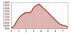
Beautiful circular hike at the foot of Gratlspitze with many views of Alpbach

Tour information

  • Requirement: medium
  • Length: 7.7 km
  • Duration: 2:45 h
  • Elevation uphill:410 hm
  • Elevation downhill:410 hm
Highest point1,379 m

Starting point

Tourism office Alpbach

Finishing point

Tourism office Alpbach
  • Fitness level 3 / 6

Best time of year

  • January
  • February
  • March
  • April
  • May
  • June
  • July
  • August
  • September
  • October
  • November
  • December

Equipment

sturdy shoes and weather-appropriate clothing

Source: Alpbachtal

Description

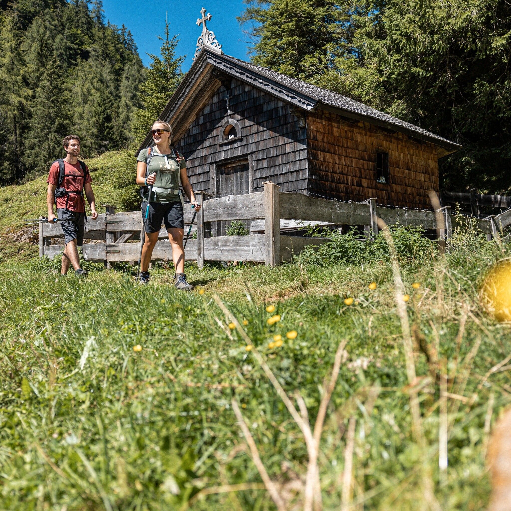
The route starts in the center of Alpbach, left past the church to Hotel Böglerhof. Immediately after the hotel turn left and upwards via a beautiful meadow trail to the Stammgästepool (all longtime guests of Alpbach receive their own tree planted) and to the district „Hausberg“. At the last farm turn right following the sign „Steinweg“ and path no. A23. The renovated path now leads partly upwards towards „Hösljoch“.

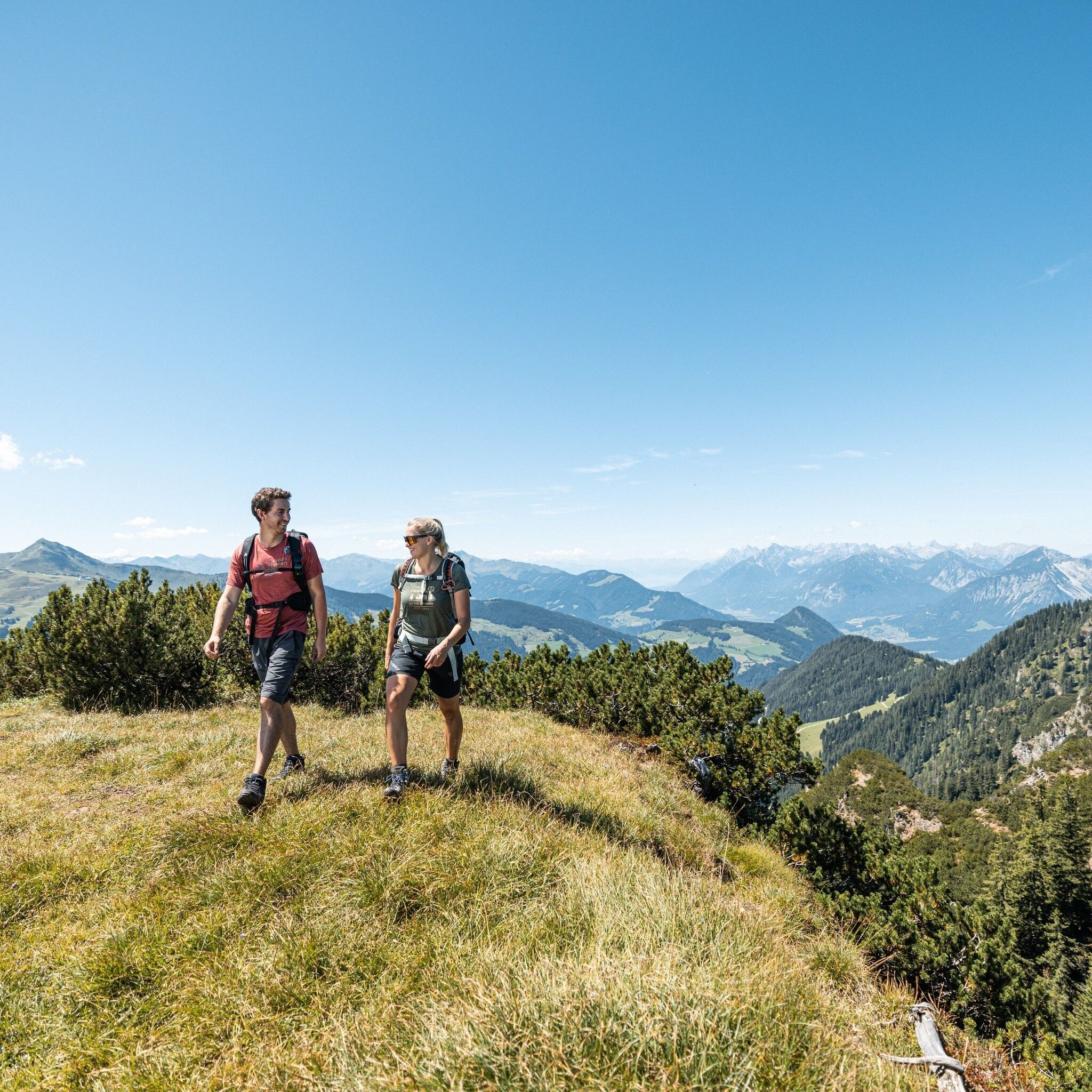
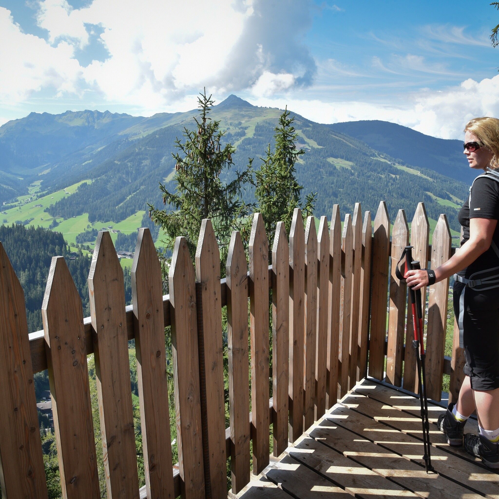
Enjoy the wonderful view over Alpbach and its mountain worlds at the viewing platform!

Return following the sign for the snack station Oberthaler and Zottahof, always downwards to Alpbach.


Nearby huts and mountain restaurants

Getting here

  • Parking

    in front of the village center of Alpbach

More tours in the surrounding area

  • Barrier-free path Lake Reintal

    Difficulty: easy
    Length: 6.5 km Duration: 1:45 h Elevation uphill: 15 m
  • Discovering the Tiefenbach Gorge Hike

    Opening hours: closed
    Difficulty: medium
    Length: 5.7 km Duration: 3:30 h Elevation uphill: 669 m
  • Kundler Klamm

    Opening hours: closed
    Difficulty: easy
    Length: 6.4 km Duration: 2:00 h Elevation uphill: 116 m
  • 3-day Family Tour Alpbachtal

    Difficulty: easy
    Length: 18.3 km Duration: 7:00 h Elevation uphill: 998 m
  • Loop tour Juppi Zauberwald

    Difficulty: easy
    Length: 2.5 km Duration: 1:00 h Elevation uphill: 93 m
  • Farmkehralm 1.521 m

    Difficulty: medium
    Length: 9.3 km Duration: 3:30 h Elevation uphill: 506 m
  • Wiedersberger Horn Panorama Path

    Difficulty: easy
    Length: 4.1 km Duration: 1:30 h Elevation uphill: 195 m
  • Kaiser Gorge - loop trail

    Opening hours: closed
    Difficulty: easy
    Length: 4.2 km Duration: 1:00 h Elevation uphill: 198 m
  • Voldöpper Spitze Loop Hike

    Difficulty: medium
    Length: 12.9 km Duration: 5:00 h Elevation uphill: 988 m
  • Day 1: 4 days - 4 summits tour

    Difficulty: medium
    Length: 9.8 km Duration: 5:00 h Elevation uphill: 984 m
  • 3-peak-tour Kienberg-Plessenberg-Heuberg

    Difficulty: medium
    Length: 8.6 km Duration: 4:30 h Elevation uphill: 779 m
  • Day 3: 4 days - 4 summits tour

    Difficulty: medium
    Length: 19.3 km Duration: 8:00 h Elevation uphill: 1,371 m
  • 4 days - 4 summits tour

    Difficulty: medium
    Length: 54.4 km Duration: 23:00 h Elevation uphill: 3,408 m
Newsletter

The mountain is calling? So does our newsletter!

In our monthly newsletter we reveal the best holiday tips for Tyrol.