
Opening hours:open
Difficulty:easy
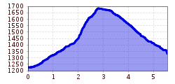
Length:573 mDuration:0:20 hElevation uphill:12 m
Pettneu - Untere und Obere Waldebene
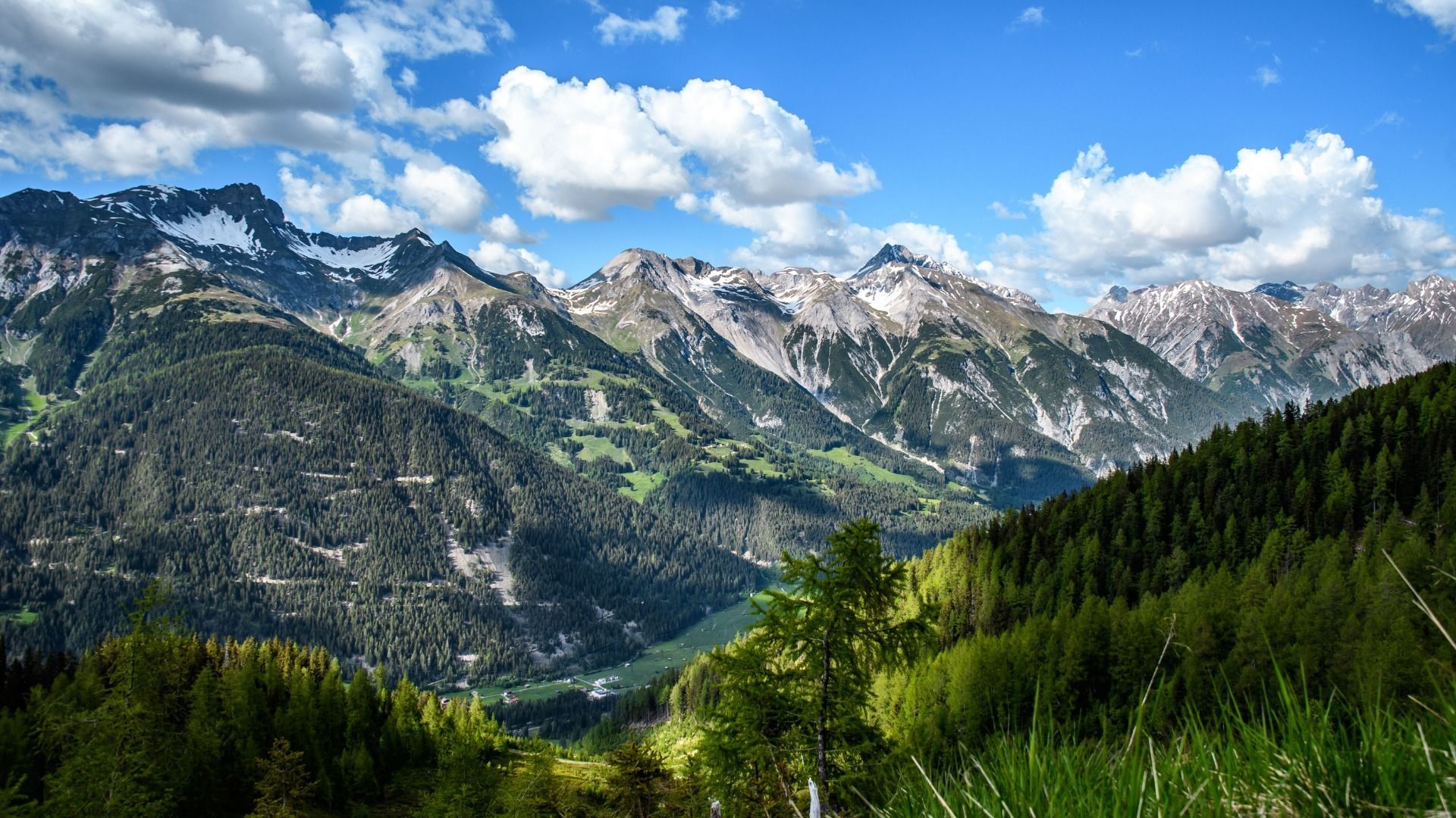
From the information office, head east and turn left before the Raiffeisenbank and head upwards. Follow the signs for Stöcklweg up to the Untere Waldebene fork. Turn right here and follow the signs until the Untere Waldebene, a pasture with a boulder, the so-called witch’s hole (“Hexenloch”). From the Hexenloch (Trail 17), the trail climbs a little steeply at the start, in some places along the rugged, fallen rocks of the Galdrintal valley, and leads to a plateau surrounded by trees. Take the same path back to the starting point (approx. 1.5 hrs).


 Mirja Geh (26).jpg")


.jpg")
.jpg")


")


")


.jpg")
