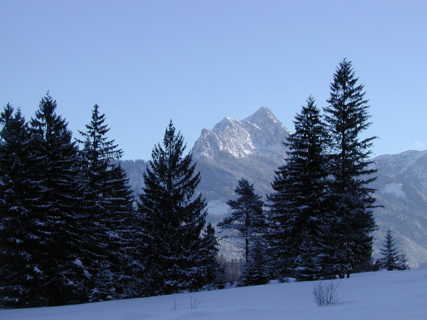
Mountain hikes Säuling summit hike from Säulinghaus

Pflach / Ammergau Alps
Difficulty ratings: difficult
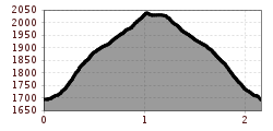
Route length: 2.2 km
Duration: 1:45 h

Mountain tour from the Säulinghaus to the Säuling summit (2048m)
Tour information

  • Requirement: difficult
  • Length: 2.2 km
  • Duration: 1:45 h
  • Elevation uphill:346 hm
  • Elevation downhill:0 hm
Highest point2,048 m

Starting point

Parkplatz Säuling in Pflach

Best time of year

  • January
  • February
  • March
  • April
  • May
  • June
  • July
  • August
  • September
  • October
  • November
  • December

Trail condition

Wandersteig

Equipment

gute Wanderausrüstung, Stöcke
Source: TVB Naturparkregion Reutte

Description

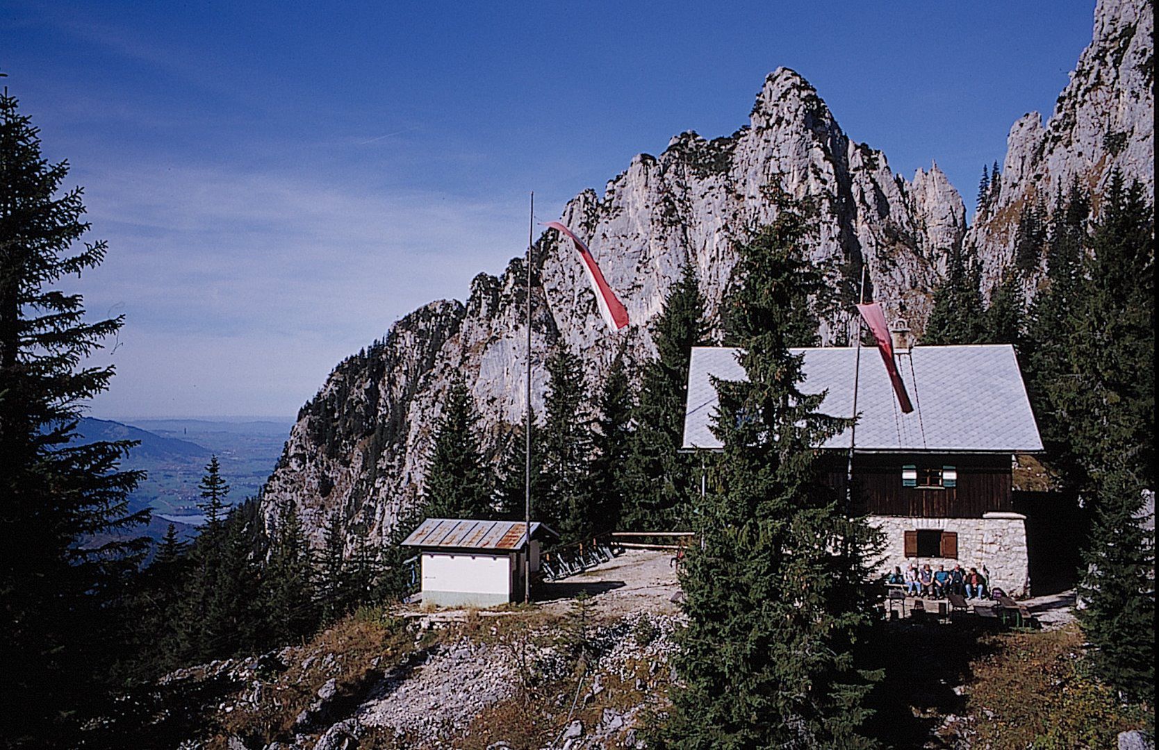
The mountain tour starts at the Säulinghaus and leads to the small and large summits of the Säuling. The route is technically very demanding, goes steeply uphill and some sections are very precipitous. Only suitable for experienced mountain hikers! The same route leads back again.

Caution: Difficult / black hiking trail. Sure-footedness and a head for heights are essential!

Nearby huts and mountain restaurants

  • Säulinghaus

    Opening hours:Today closed
    Place:Pflach
    :Alpine pasture / hut / mountain restaurant

Weather

Today

clear sky
28°C/14°C
45%0.8l10 km/h

Thu

light rain showers
24°C/15°C
85%21.1l5 km/h

Fri

light rain showers
19°C/12°C
85%11.6l5 km/h

More tours in the surrounding area

Newsletter

The mountain is calling? So does our newsletter!

In our monthly newsletter we reveal the best holiday tips for Tyrol.