
Opening hours:Open today
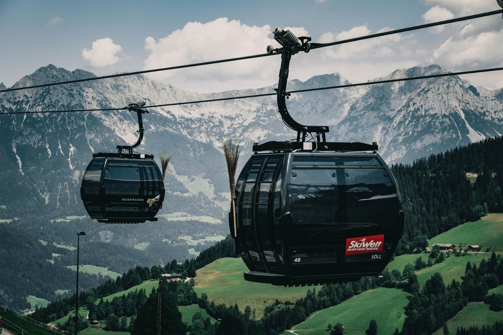
Place:Söll
:Restaurant, Alpine pasture / hut / mountain restaurant, Bar / Pub
Comfortable round with a magnificent view of the Hohe Salve.
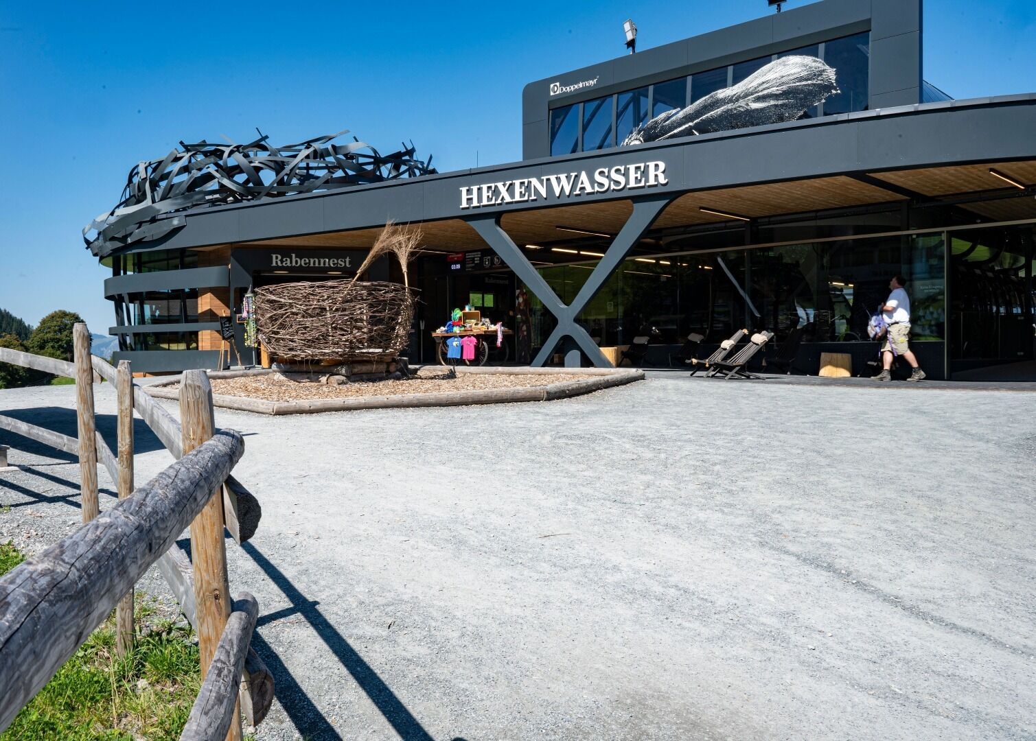
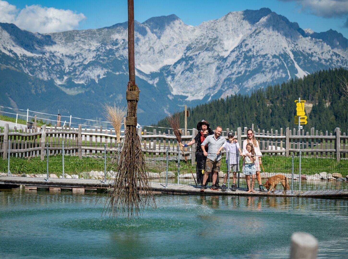
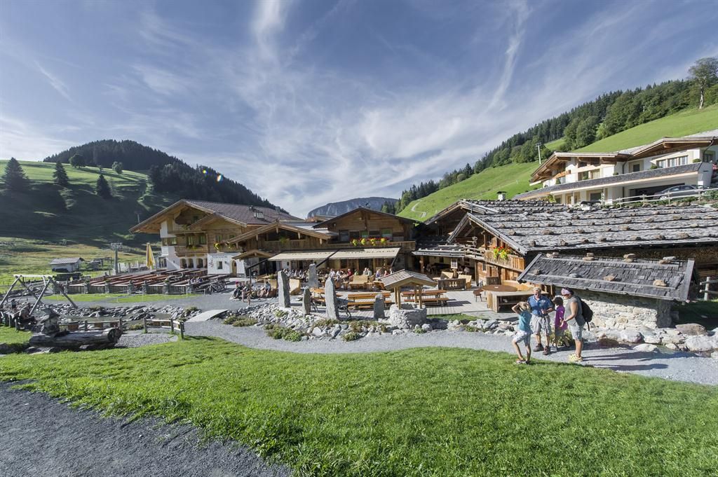
From the top station of the Hexenwasser gondola lift, hike westward in the direction of Stöcklalm. On the way you will pass the "Blue Wonder", which is definitely worth a visit. Then follow the path past the "barefoot path" and the "witches' umbrellas" to the branch of the "witches' ladder". You follow this, cross the meadow and then hike slightly downhill to the Stöcklalm. After a leisurely stop, hike the same route back to Hochsöll.
KaiserJet stop “Söll Gondelbahn Hochsöll – Hexenwasser”.
More information at: www.wilderkaiser.info/mobility
Cable car valley station, Söll (725 m) – free


.jpg")


")
.jpg")

.jpg")


