
Opening hours:Open today
Place:Itter
:Restaurant, Alpine pasture / hut / mountain restaurant, Bar / Pub
A forest trail with magnificent views awaits you.
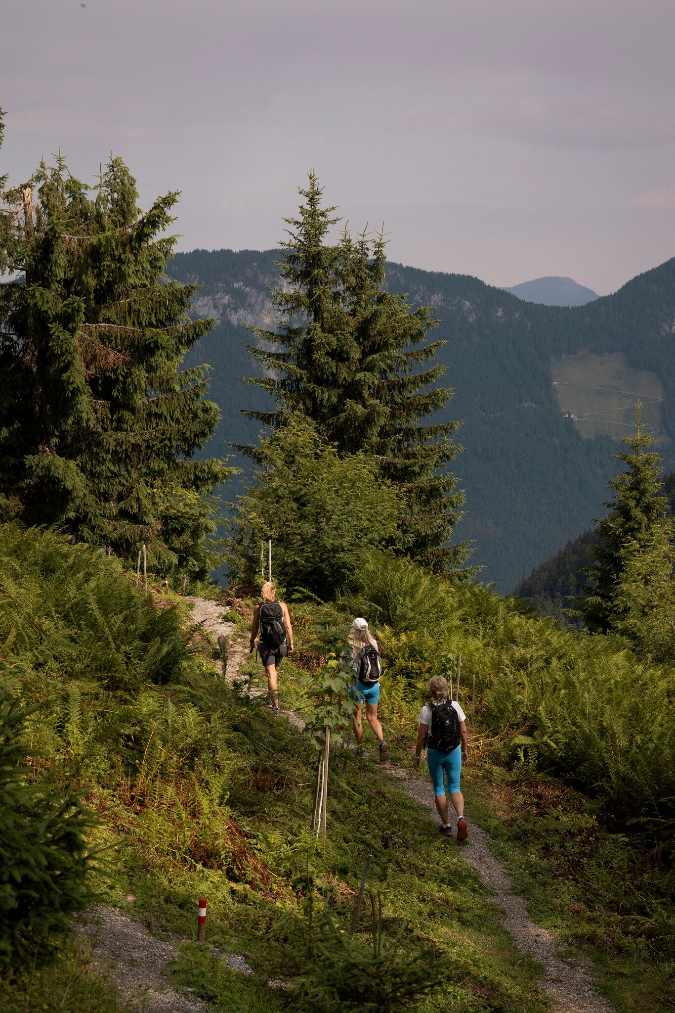
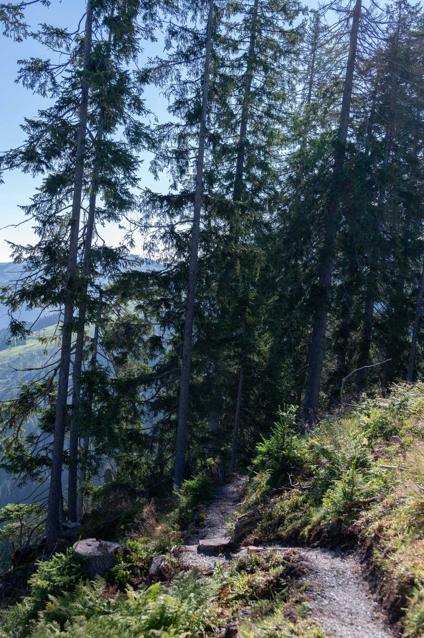
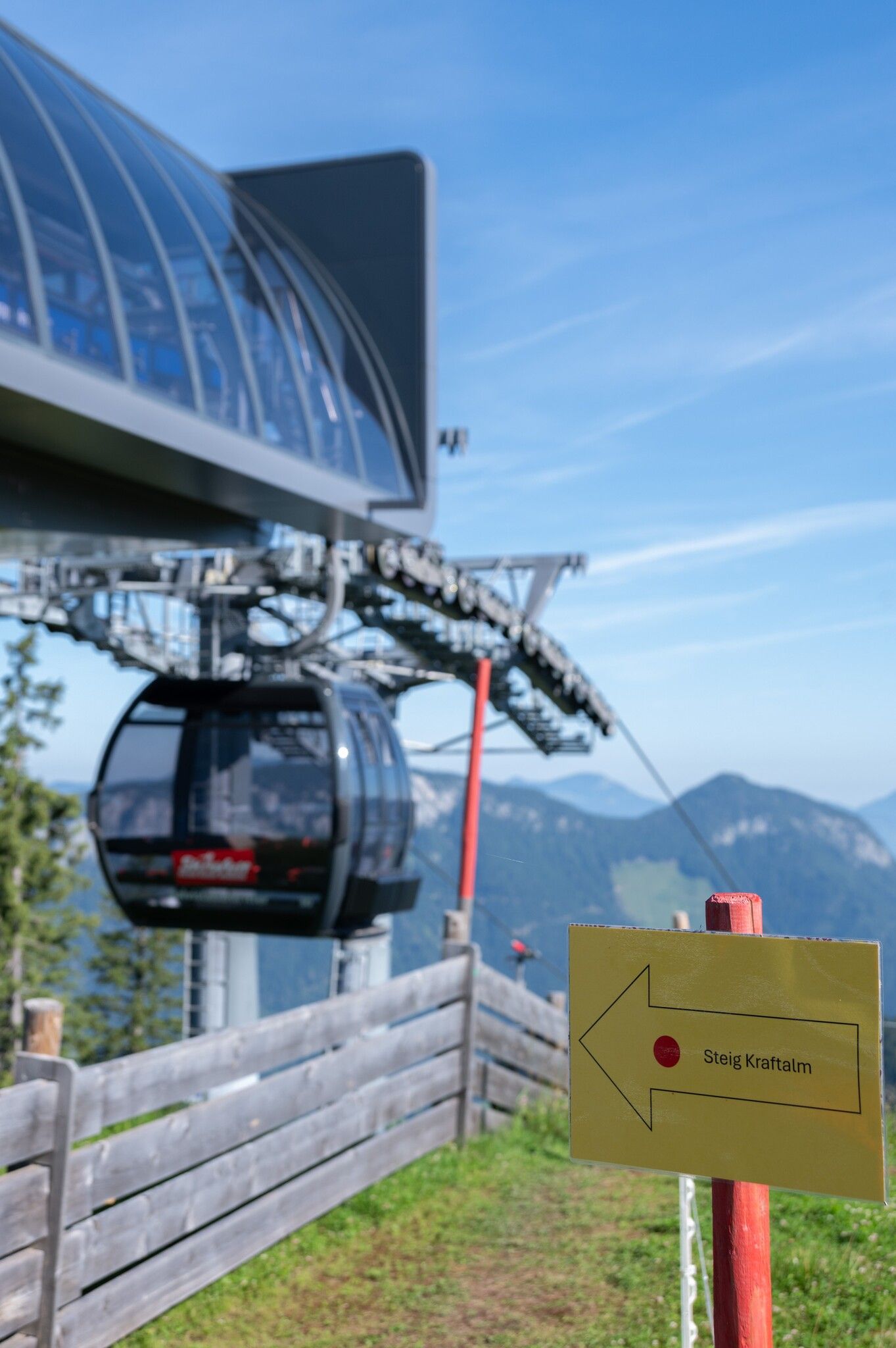
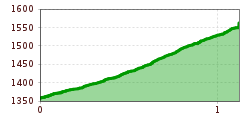
The starting point for this hike is the middle station of the Salvista cable car in Itter. Walk a few metres along the forest road until the path branches off to the right onto a narrow path through the forest. At the beginning of the path you walk past 2 caves. Between the trees, you can enjoy the wonderful view of the surrounding mountains. Halfway along, you can leave the path again and continue along the forest path or stay on the path and hike to the Salvista cable car mountain station. The trail is briefly interrupted by the forest path, which you cross once before the trail continues on the other side. You can return to the starting point via the forest road or by taking the Salvista cable car.
bus: Itter Salvistabahn
Guest card of the region = train ticket from Wörgl to Hochfilzen + bus ticket from Mariastein to Kitzbühel included
More detailed information: www.hohe-salve.com/mobility
at the Gondolastation in Itter


.jpg")


")
.jpg")

.jpg")


