Arrival by public transport
Exit bus stop: Steinberg a. R. Kirche
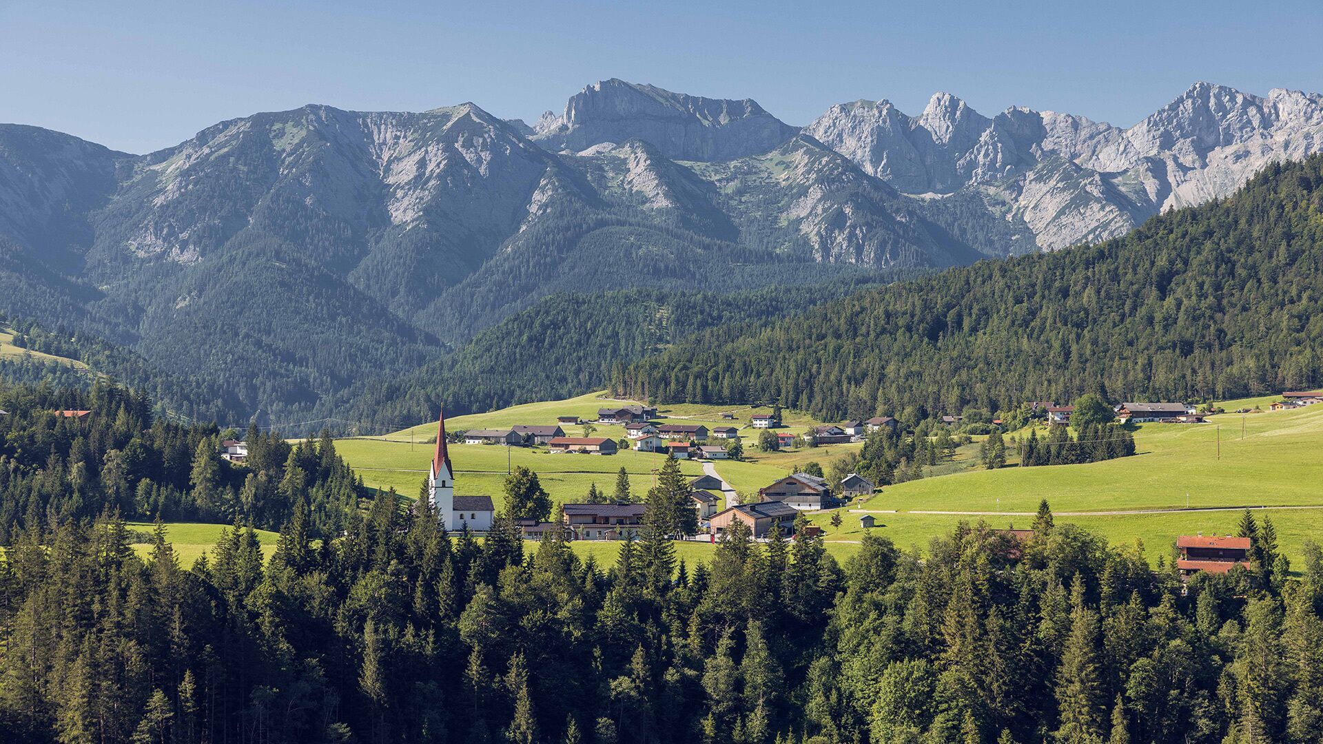
Steinberg - Neubergalm - Pircheralm - Steinberg
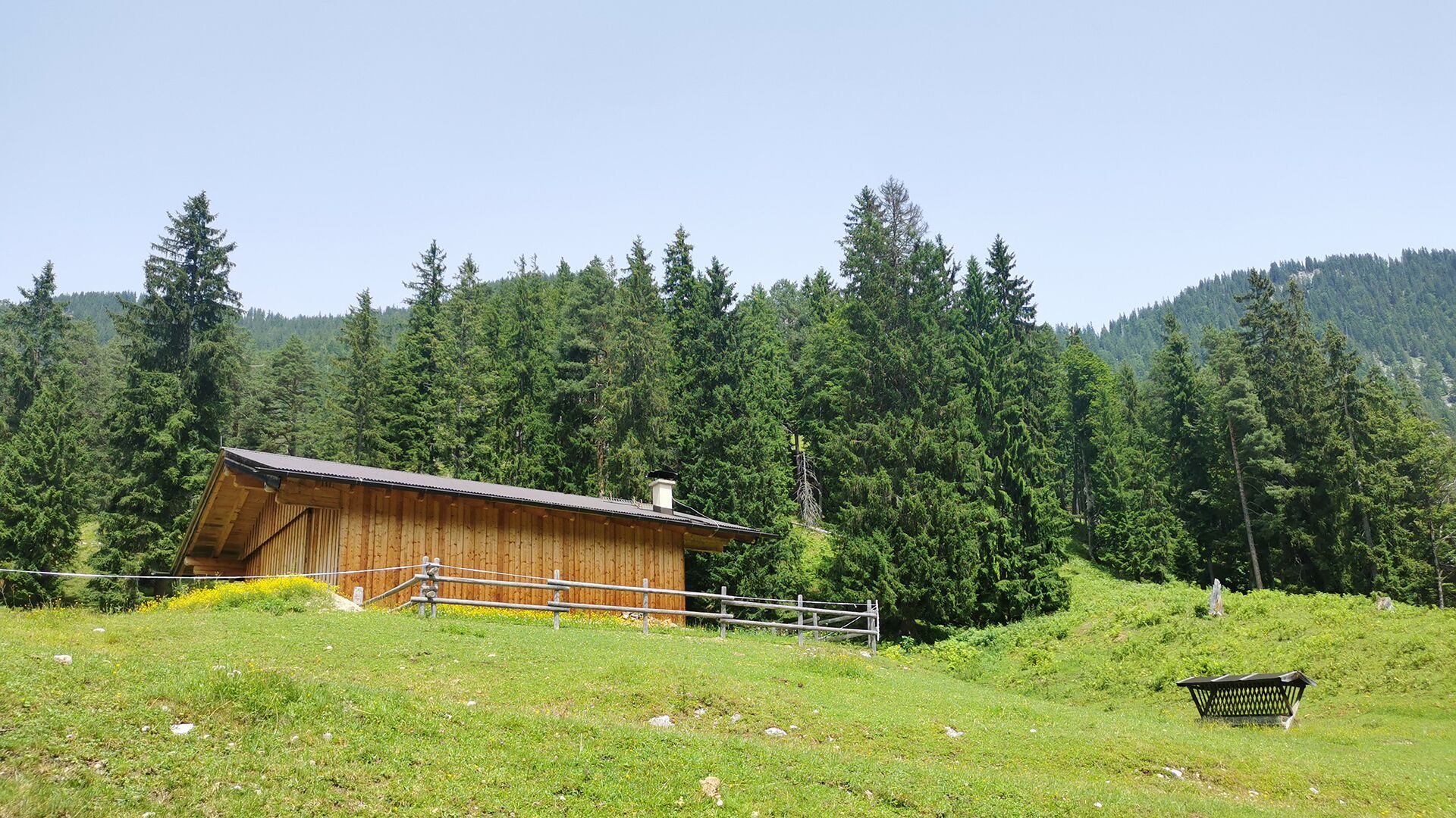
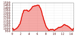
From the parish church Steinberg, walk in a northerly direction past the two houses on the left and descend to the Mühlbach. Walk to the asphalt road and turn left, then walk past some houses to the next junction. Turn right after the last house and continue along the forest road until a trail branches off to the right. Continue along this trail until you reach the next junction and follow the signposts to the Neubergalm (not serviced). Follow the trail as it descends along the stream bed to the Pircheralm (not serviced). Continue along the asphalt road to the Appartement Naturetouch. From here, follow the asphalt road to Steinberg and walk back to the parish church Steinberg.
Exit bus stop: Steinberg a. R. Kirche
Car park Gemeindeamt Steinberg


