Arrival by public transport
Exit bus stop: Steinberg a. R. Abzw Waldhäusl
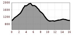
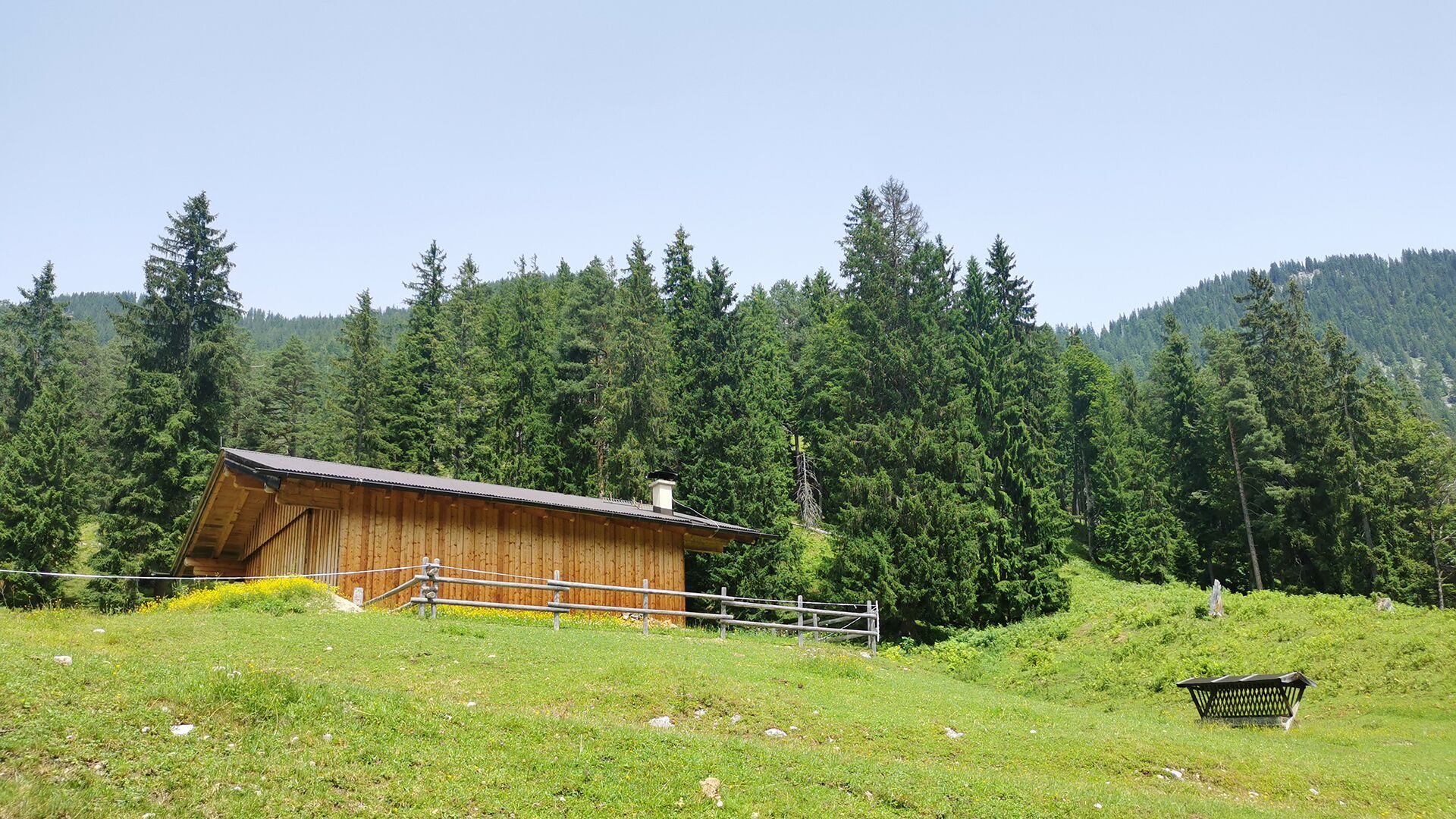
Steinberg - Schmidtquelle - Guffertstein - Neubergalm - Pircheralm - Steinberg

From the inn "Gasthof Waldhäusl", follow the signposts “Guffert”. After ca. 2 hours 15 minutes you arrive at the junction to the Schmidtquelle (dried up spring). Walk past the spring in the direction of the Luxegg until you reach the Guffertstein (1,963 metres). Follow the trail straight on and at the second junction, walk to the Neubergalm (not serviced), see signpost. From the Neubergalm, the trail descends via the Pircheralm (not serviced) to the asphalt road. Keep right and follow the signposts “Steinberg”. Follow the village road straight on and walk past the Appartement Naturetouch back to the inn "Gasthof Waldhäusl".
Exit bus stop: Steinberg a. R. Abzw Waldhäusl
Car park Waldhäusl in Steinberg am Rofan (paid parking lot)


