Open interactive mapOpen this POI on the interactive mapElevation profileDownloadThomas Penz Höhenweg.gpx
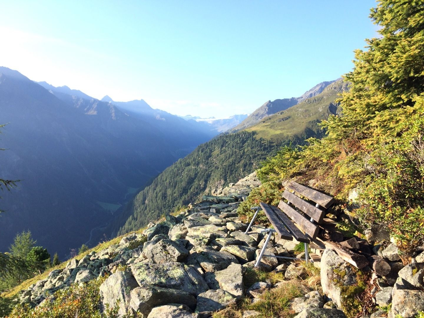
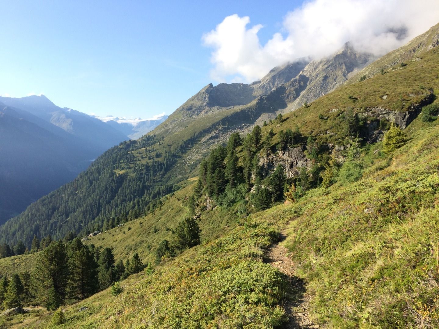
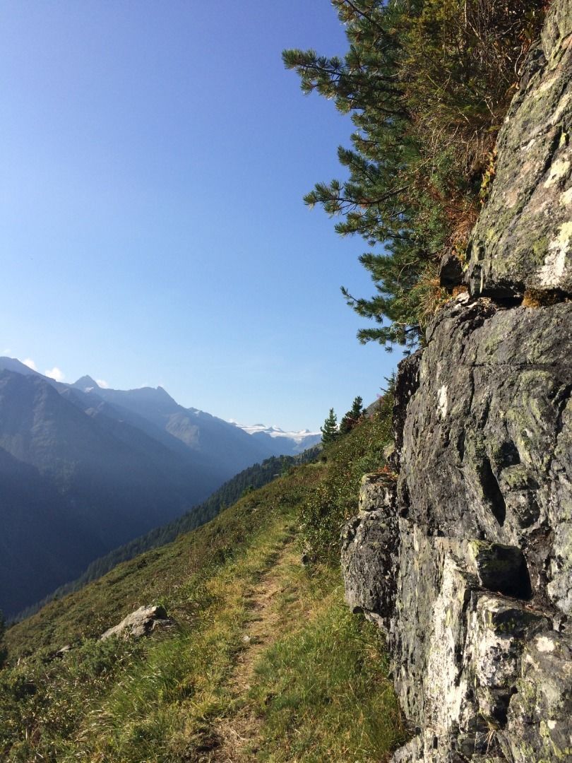
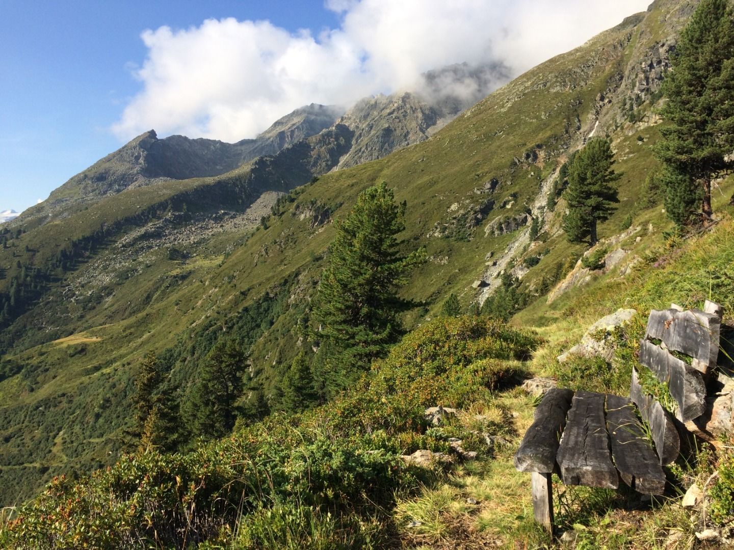
Kaiserjochhaus © Lechtal Tourismus Lechtaler Höhenweg: 3. Etappe Kasierjochhaus-Ansbacher HütteDifficulty:difficultLength:7.9 kmDuration:4:15 hElevation uphill:511 mSee trailSee trail: Lechtaler Höhenweg: 3. Etappe Kasierjochhaus-Ansbacher Hütte
Kaiserjochhaus © Lechtal Tourismus Lechtaler Höhenweg: 3. Etappe Kasierjochhaus-Ansbacher HütteDifficulty:difficultLength:11.3 kmDuration:6:45 hElevation uphill:1,010 mSee trailSee trail: Lechtaler Höhenweg: 3. Etappe Kasierjochhaus-Ansbacher Hütte
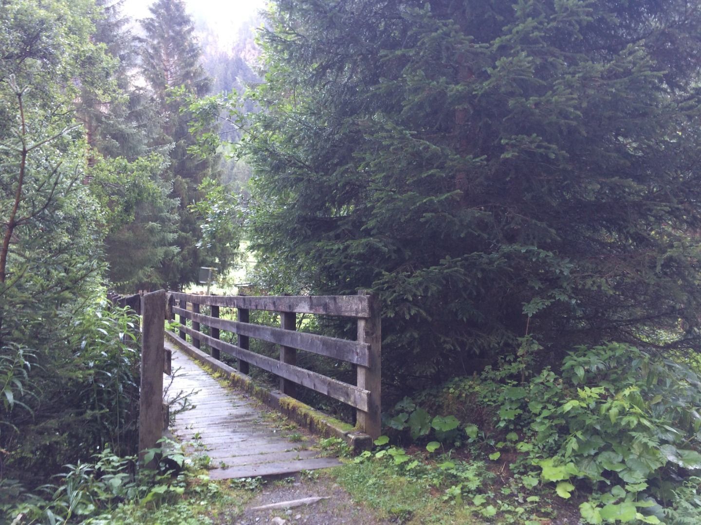
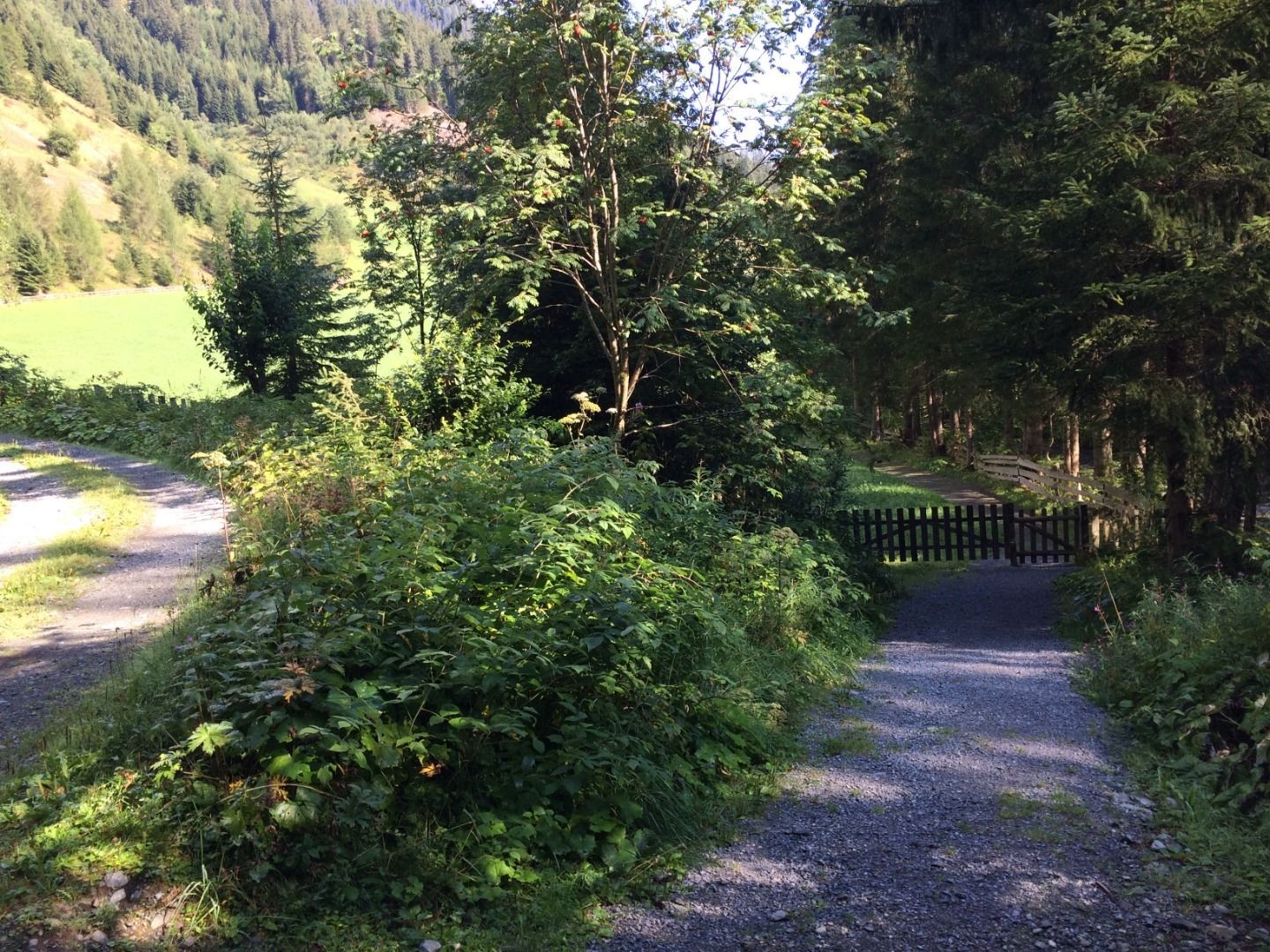
Lech bei Forchach. © Lechtal Tourismus Stanzach - Over the suspension bridgeDifficulty:easyLength:12.8 kmDuration:3:15 hElevation uphill:42 mSee trailSee trail: Stanzach - Over the suspension bridge
Kundl GorgeDifficulty:easyLength:6.5 kmDuration:3:00 hElevation uphill:10 mSee trailSee trail: Kundl Gorge
Long-distance hike: Berliner Höhenweg (Zillertal Runde)Difficulty:difficultLength:71.0 kmDuration:35:00 hElevation uphill:5,300 mSee trailSee trail: Long-distance hike: Berliner Höhenweg (Zillertal Runde)
Lechtal, Lechtaler Höhenweg, Steinsee_Tirol Werbung_Schels Sebastian_No location given (4) © Tirol Werbung | Sebastian Schels Lechtaler HöhenwegDifficulty:difficultLength:84.5 kmDuration:45:00 hElevation uphill:6,773 mSee trailSee trail: Lechtaler Höhenweg
Feldberg, Stripsenjoch, Kaiserbachtal, Region St. Johann in Tirol, Kirchdorf © Mirja Geh Kaiserbachtal - Feldberg - StripsenjochDifficulty:mediumLength:21.0 kmDuration:9:00 hElevation uphill:1,170 mSee trailSee trail: Kaiserbachtal - Feldberg - Stripsenjoch
Kitzbüheler Alpen_KATwalk2018-Etappe4_Erwin Haiden07.jpg © Erwin Haiden KAT WALK ALPINEDifficulty:mediumLength:113.0 kmDuration:45:00 hElevation uphill:6,300 mSee trailSee trail: KAT WALK ALPINE
Weitwanderung Peter Habeler Runde © Archiv TVB Mayrhofen Long-distance hike: Peter Habeler RundeDifficulty:difficultLength:56.7 kmDuration:25:00 hElevation uphill:3,705 mSee trailSee trail: Long-distance hike: Peter Habeler Runde
Blick vom Juifen ins Karwendel © Achensee Tourismus Achenkirch - Falkenmoosalm - Großzemmalm - Juifen - AchenkirchDifficulty:mediumLength:20.5 kmDuration:7:30 hElevation uphill:1,120 mSee trailSee trail: Achenkirch - Falkenmoosalm - Großzemmalm - Juifen - Achenkirch
Hoch oben an der Rastkogelhütte © Archiv TVB Mayrhofen Circuit & summit hike: Schwendberg (Jausenstation Melchboden) Arbiskopf, Rauhenkopf and KreuzjochDifficulty:mediumLength:8.6 kmDuration:3:30 hElevation uphill:450 mSee trailSee trail: Circuit & summit hike: Schwendberg (Jausenstation Melchboden) Arbiskopf, Rauhenkopf and Kreuzjoch
neuer-wanderweg-im-stilluptal-foto-stefan-absenger © Archiv TVB Mayrhofen Themed hike: Stilluptal "Wasserfallweg"Difficulty:easyLength:15.3 kmDuration:5:00 hElevation uphill:325 mSee trailSee trail: Themed hike: Stilluptal "Wasserfallweg"
swiss-track02-c-npht-martin-kurzthaler.jpeg © Nationalpark Hohe Tauern / Martin Kurzthaler Rollitour with Swiss TracDifficulty:easyLength:3.2 kmDuration:1:30 hElevation uphill:135 mSee trailSee trail: Rollitour with Swiss Trac
imagemeta.apiv2.1593523029518 © TVB Stubai Sulzenau Hütte - Blaue Lacke und GrünauseeDifficulty:mediumLength:3.2 kmDuration:1:07 hElevation uphill:117 mSee trailSee trail: Sulzenau Hütte - Blaue Lacke und Grünausee
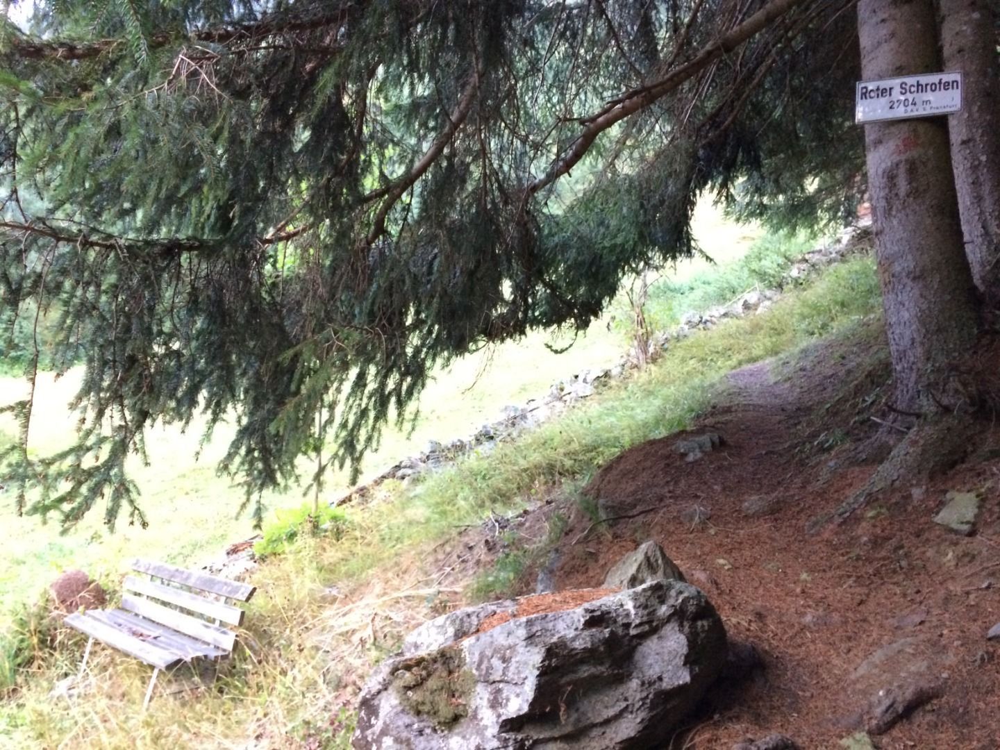
Stage 7: Bremer Hut - Innsbrucker HutDifficulty:difficultLength:9.5 kmDuration:7:00 hElevation uphill:839 mSee trailSee trail: Stage 7: Bremer Hut - Innsbrucker Hut
Stage 4: Dresdner Hut - Sulzenau HutDifficulty:difficultLength:5.0 kmDuration:3:00 hElevation uphill:419 mSee trailSee trail: Stage 4: Dresdner Hut - Sulzenau Hut
Stage 6: Nürnberger Hut - Bremer HutDifficulty:difficultLength:6.0 kmDuration:4:00 hElevation uphill:642 mSee trailSee trail: Stage 6: Nürnberger Hut - Bremer Hut
outdooractiveImport_25033503 © TVB Stubai Stubai Tree House TrailDifficulty:easyLength:6.0 kmDuration:2:00 hElevation uphill:44 mSee trailSee trail: Stubai Tree House Trail
Sulzautal.jpg © TVB Stubai WildeWasserWeg: (Stage 2) Grawa Wasserfall - Sulzenau Alm - SulzenauhütteDifficulty:mediumLength:4.3 kmDuration:2:30 hElevation uphill:676 mSee trailSee trail: WildeWasserWeg: (Stage 2) Grawa Wasserfall - Sulzenau Alm - Sulzenauhütte
Sulzenauer Becken2.JPG © TVB Stubai WildeWasserWeg: all stagesDifficulty:mediumLength:9.6 kmDuration:5:10 hElevation uphill:1,165 mSee trailSee trail: WildeWasserWeg: all stages
©-TVB-Tiroler-Oberland-Kaunertal-Teammedia-Michael-Obex-2021-Verpeilschlucht-_A025725.jpg © Teammedia, Michael Obex VerpeilschluchtOpening hours:openDifficulty:mediumDuration:3:00 hElevation uphill:386 mSee trailSee trail: Verpeilschlucht
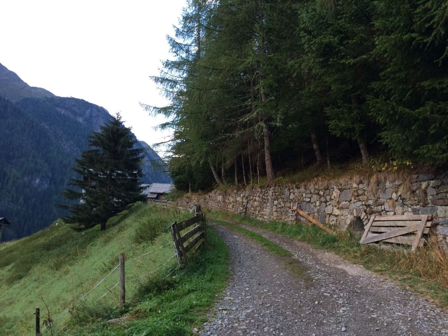
Pärchen nähe Falbesoner Ochsenalm © TVB Stubai Falbeson - Falbesoner Ochsenalm - Neue Regensburger HütteDifficulty:mediumLength:4.1 kmDuration:3:39 hElevation uphill:1,151 mSee trailSee trail: Falbeson - Falbesoner Ochsenalm - Neue Regensburger Hütte
Stage 3: Neue Regensburger Hut - Dresdner HutDifficulty:difficultLength:13.0 kmDuration:7:00 hElevation uphill:1,033 mSee trailSee trail: Stage 3: Neue Regensburger Hut - Dresdner Hut
Nürnberger Hütte © TVB Stubai Tour: Bushaltestelle Nürnberger Hütte - Nürnberger HütteDifficulty:mediumLength:11.7 kmDuration:4:34 hElevation uphill:909 mSee trailSee trail: Tour: Bushaltestelle Nürnberger Hütte - Nürnberger Hütte
©-TVB-Tiroler-Oberland-Kaunertal-Daniel-Zangerl-Aifneralm-2016-(19).jpg © Daniel Zangerl Rolli-Wanderung Aifner AlmDifficulty:mediumLength:6.0 kmDuration:2:30 hElevation uphill:460 mSee trailSee trail: Rolli-Wanderung Aifner Alm
Give feedback for a chance to win a special holiday experience!Click here for the surveyClick here for the survey


.jpg")
")
")


.jpg")
