Mountain hikes Weßsbachschlucht gorge

Waidring / Lofer Stone Mountains
Difficulty ratings: easy
Route length: 6.5 km
Duration: 2:00 h

Weßsbachschlucht gorge

Tour information

  • Requirement: easy
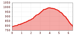
  • Length: 6.5 km
  • Duration: 2:00 h
  • Elevation uphill:220 hm
  • Elevation downhill:0 hm
Highest point1,004 m

Starting point

Village center Waidring

Finishing point

Village center Waidring
  • Fitness level 1 / 6
  • Technique 1 / 6

Features

  • Circular route
  • Suitable for families

Best time of year

  • January
  • February
  • March
  • April
  • May
  • June
  • July
  • August
  • September
  • October
  • November
  • December

Trail condition

Gravel

Equipment

Breathable outdoor clothing, sturdy shoes, food (snack, drinks), sun protection (sunglasses, sunscreen & cap), rain protection, cash; guest card if bus is used.
Source: Kitzbüheler Alpen Management GmbH

Description

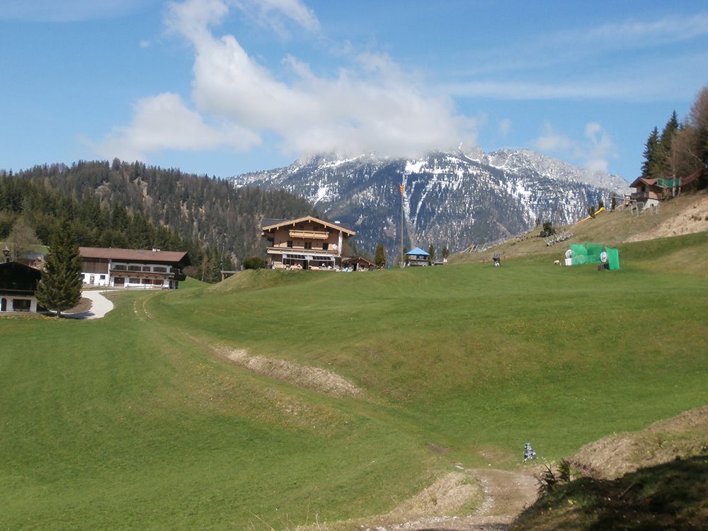
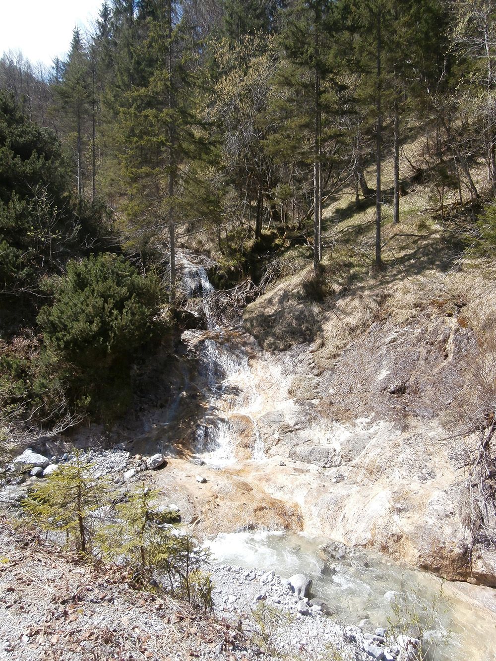
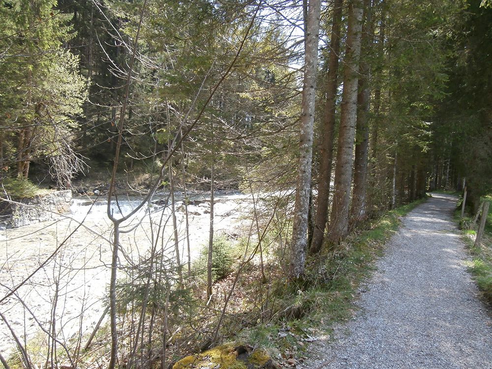
From the Weißbach car park, take the forest path (right) along the stream into the gorge. Continue along the hiking trail to the Kohlstatt rest area and turn left here in the direction of Gasthof Oberweissbach. From here, take the road back down to the car park. Tip: Take a break at the Kneipp facility!

Nearby huts and mountain restaurants

Getting here

  • Arrival by public transport

    By bus: Bus connection from Ellmau / Kitzbühel / St. Johann i.T. / Lofer and within the Pillerseetal region. Bus stop Waidring Winkl. Bus free of charge with guest card.

  • Parking

    Car park Weißbach

Weather

Sun

mainly clear
22°C/10°C
15%0l5 km/h

Today

mainly clear
24°C/11°C
45%1.2l5 km/h

Tue

light rain showers
21°C/12°C
80%7.1l5 km/h
Go to weather forecast

More tours in the surrounding area

  • The Wiegalm

    Difficulty:medium
    Length:10.5 kmDuration:4:45 hElevation uphill:680 m
  • Brechhorn

    Difficulty:medium
    Length:11.8 kmDuration:5:00 hElevation uphill:600 m
  • Wildseeloderhaus - Blumenweg Hochhörndl - Streuböden

    Difficulty:medium
    Length:10.2 kmDuration:5:00 hElevation uphill:631 m
  • Triassic Trail - Steinplattengipfel

    Difficulty:easy
    Length:4.0 kmDuration:1:30 hElevation uphill:200 m
  • Adolari Round

    Difficulty:easy
    Length:8.2 kmDuration:2:30 hElevation uphill:70 m
  • Koasa Trail

    Difficulty:medium
    Length:83.0 kmElevation uphill:4,700 m
  • Schafsiedel

    Difficulty:medium
    Length:15.6 kmDuration:7:00 hElevation uphill:1,280 m
  • Bichlachrunde

    Difficulty:easy
    Length:10.5 kmDuration:3:30 hElevation uphill:295 m
  • Koasa Trail Stage 4

    Difficulty:medium
    Length:20.6 kmDuration:7:35 hElevation uphill:923 m
  • Koasa Trail Stage 1

    Difficulty:medium
    Length:16.9 kmDuration:6:45 hElevation uphill:937 m
  • Kaiserkrone - stage 5

    Difficulty:medium
    Length:10.8 kmDuration:5:15 hElevation uphill:840 m
  • Koasa Trail Stage 3

    Difficulty:medium
    Length:19.9 kmDuration:7:10 hElevation uphill:730 m
  • Koasa Trail Stage 5

    Difficulty:medium
    Length:14.0 kmDuration:6:45 hElevation uphill:935 m
  • Kaiserkrone - stage 4

    Difficulty:medium
    Length:16.1 kmDuration:6:30 hElevation uphill:640 m
  • Angerer Alm

    Difficulty:medium
    Length:5.7 kmDuration:2:45 hElevation uphill:652 m
  • Alpine Outdoor Gallery

    Difficulty:easy
    Length:6.7 kmDuration:2:00 hElevation uphill:117 m
Newsletter

The mountain is calling? So does our newsletter!

In our monthly newsletter we reveal the best holiday tips for Tyrol.