.jpg")
Difficulty:easy
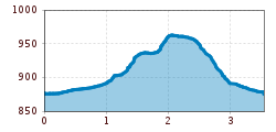
Length:10.5 kmDuration:3:30 hElevation uphill:255 m
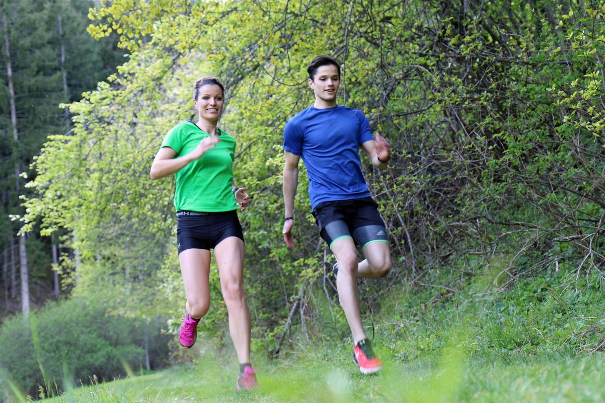
Easy hike, also suitable for Nordic walking and joggers.

The path branches off to the left at the southern edge of the village of Ried. There it leads over meadows and along the edge of the forest until you reach the asphalt path in the long meadow. After about 100 metres the Waldsteig leads sharply left up to the Kalvarienberg (carved group of crosses). From here the path leads back to Ried.
.jpg")
.jpg")
.jpg")
")
.jpg")
.jpg")
.jpg")
.jpg")

.jpg")

.jpg")
")
.jpg")
.jpg")
.jpg")

.jpg")

.jpg")
.jpg")
.jpg")
