Hiking

The 15 Most Beautiful Hikes to Mountain Lakes in Tirol

Mountain lakes are among the most beautiful things the Alps have to offer. We have selected 15 hikes where you can get up close to these dazzling jewels in the heart of Tirol.
Steinsee am Lechtaler Höhenweg
    • Difficultymedium
    • Length6.0 km
    • Duration7:45 h
    • Elevation uphill810 m
    • PlaceZams / Lechtal Alps
  • Picturesque lake in a meadow landscape and in front of rocky peaks
  • Approach through an unspoilt valley
  • Very good refreshment stops along the way
More Information
    • Difficultyeasy
    • Length6.0 km
    • Duration2:30 h
    • Elevation uphill269 m
    • PlaceObernberg / Stubai Alps
  • Clear mountain lake at the foot of the Tribulaun Massif
  • Located in the middle of the unspoilt Obernbergtal Valley
  • Lined with golden larch forests in autumn
More Information
    • Difficultydifficult
    • Length18.4 km
    • Duration6:15 h
    • Elevation uphill894 m
    • PlaceBrandenberg / Brandenberg Alps (Rofan)
  • Beautiful mountain lake located in a rock basin
  • Impressive views of the striking Rofan Mountains
More Information
    • Difficultymedium
    • Length13.2 km
    • Duration4:00 h
    • Elevation uphill748 m
    • PlaceIschgl / Silvretta
  • Dream place Berglisee: mystical and azure blue
  • Round tour with a stop at the Lareinalm
  • Several barbecue areas by the lake
More Information
    • Difficultymedium
    • Length14.8 km
    • Duration7:00 h
    • Elevation uphill1,029 m
    • PlaceGrinzens / Stubai Alps
  • Large part of the route along a mountain ridge
  • Great view of the Kalkkögel Mountains and the Inn Valley
  • Special photo opportunity when the jagged Kalkkögel Mountains are reflected on the lake
More Information
    • Difficultymedium
    • Length15.6 km
    • Duration6:45 h
    • Elevation uphill1,280 m
    • PlaceHopfgarten im Brixental / Kitzbühel Alps
  • Leads past three large mountain lakes
  • Framed by lovely, green peaks
  • Including summit ascent
More Information
    • Difficultymedium
    • Length7.8 km
    • Duration3:30 h
    • Elevation uphill790 m
    • PlaceInnervillgraten / Villgraten Mountains
  • Mystical mountain lake in alpine terrain
  • Shimmering from deep black to turquoise blue depending on the light
  • Descent through one of the most beautiful alpine villages in Tirol
More Information
  • Four lakes in one hike
  • Beautiful bathing bays along the route
  • Great viewing tower at the Thierberg Ruins
More Information
    • Difficultydifficult
    • Length11.2 km
    • Duration5:40 h
    • Elevation uphill850 m
    • PlaceEhrwald / Wetterstein Mountains & Mieming Range
  • Two of Tirol's most famous mountain lakes in one hike
  • Varied ascent along a rocky path with steel ropes to hold on to
  • Great view of the Zugspitze Massif
  • Mountain hut directly on the Drachensee lake
More Information
    • Difficultydifficult
    • Length7.5 km
    • Duration4:00 h
    • Elevation uphill690 m
    • PlaceJerzens im Pitztal / Ötztal Alps
  • Mountain lake set against the backdrop of a mighty ridge
  • Very good chances of seeing marmots
  • Shortcut possible with the Hochzeiger cable car
More Information
  • Three mountain lakes in one hike
  • Two easy summits along the way
  • Ascent with the cable car
More Information
    • Difficultyeasy
    • Length10.3 km
    • Duration4:00 h
    • Elevation uphill507 m
    • PlaceNauders / Sesvenna Group
  • Leads past two forest clearings with lakes
  • Water lily blossom in July
  • Nature trail along the forest path
More Information
    • Difficultymedium
    • Length10.2 km
    • Duration5:00 h
    • Elevation uphill631 m
    • PlaceFieberbrunn / Kitzbühel Alps
  • Fantastic location with the Loferer Rocky Mountains in the background
  • Probably the only mountain lake where you can row a boat at 1,847m
  • Mountain hut directly on the shores of the Wildsee lake
More Information
    • Difficultymedium
    • Length14.6 km
    • Duration3:30 h
    • Elevation uphill85 m
    • PlaceBreitenwang / Ammergau Alps
  • Circumnavigation of the second largest mountain lake in Tirol
  • Numerous bathing bays along the way
More Information
    • Difficultymedium
    • Length9.6 km
    • Duration5:10 h
    • Elevation uphill1,165 m
    • PlaceNeustift im Stubaital / Stubai Alps
  • Route along springs, waterfalls, floodplains and alluvial plains
  • Past the 85-metre-wide Grawa waterfall
  • Ends at a large glacial lake directly at the foot of the Sulzenauferner glacier
More Information

How does a mountain lake get its colour?

Why is a mountain lake so blue? Or isn't it rather turquoise? And didn't the lake look a little different in spring? A lake scientist tells us how lakes get their colours and what they mean.
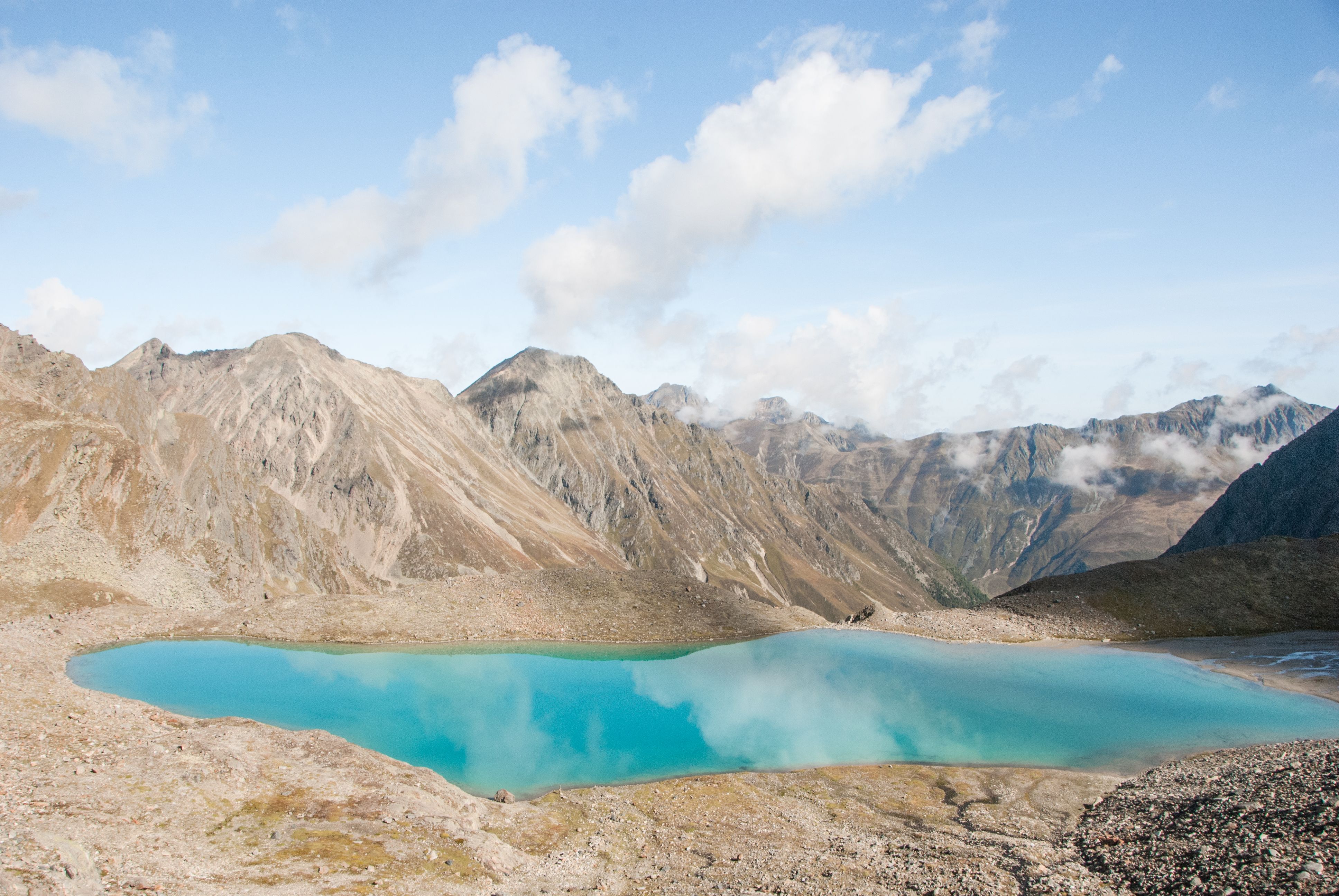
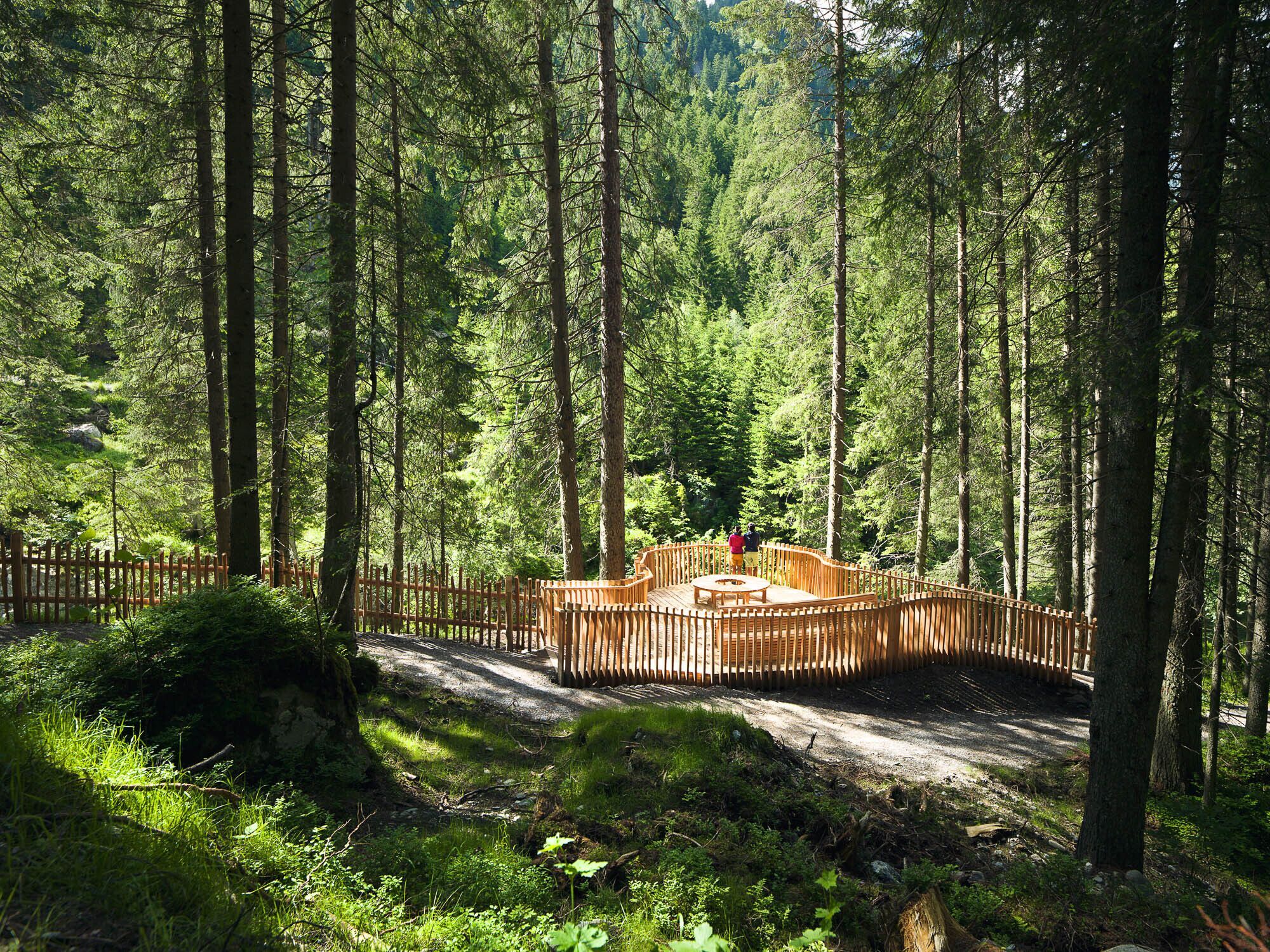
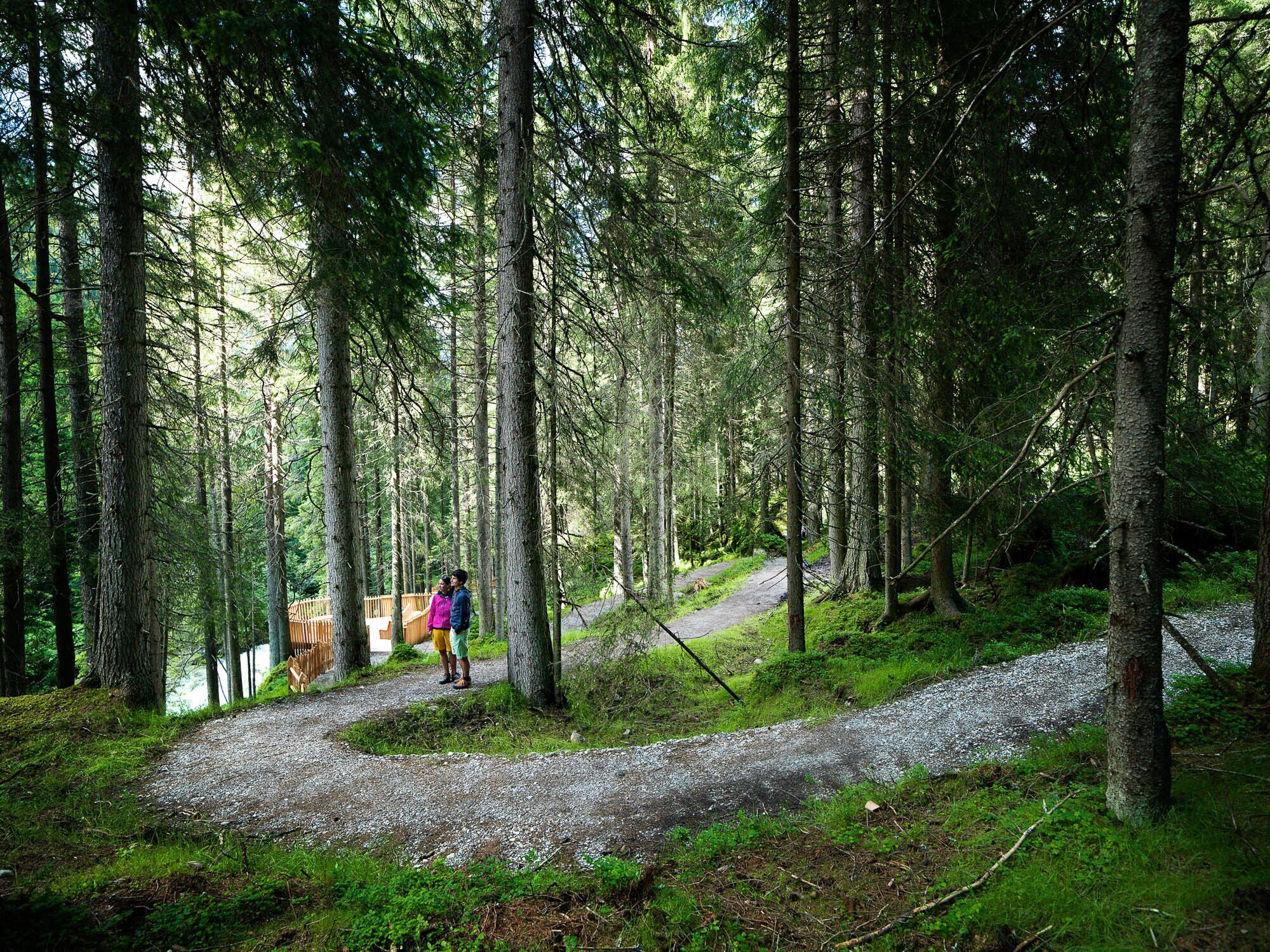
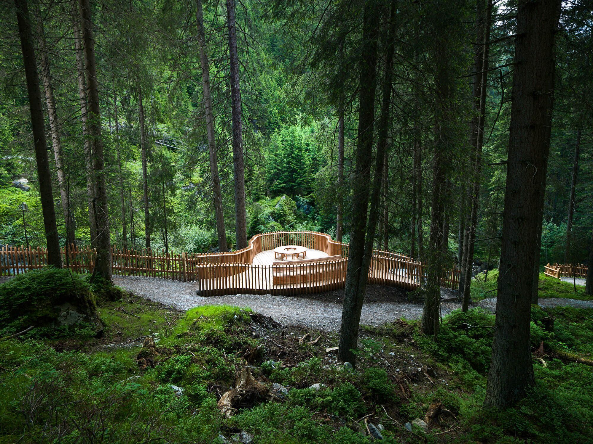
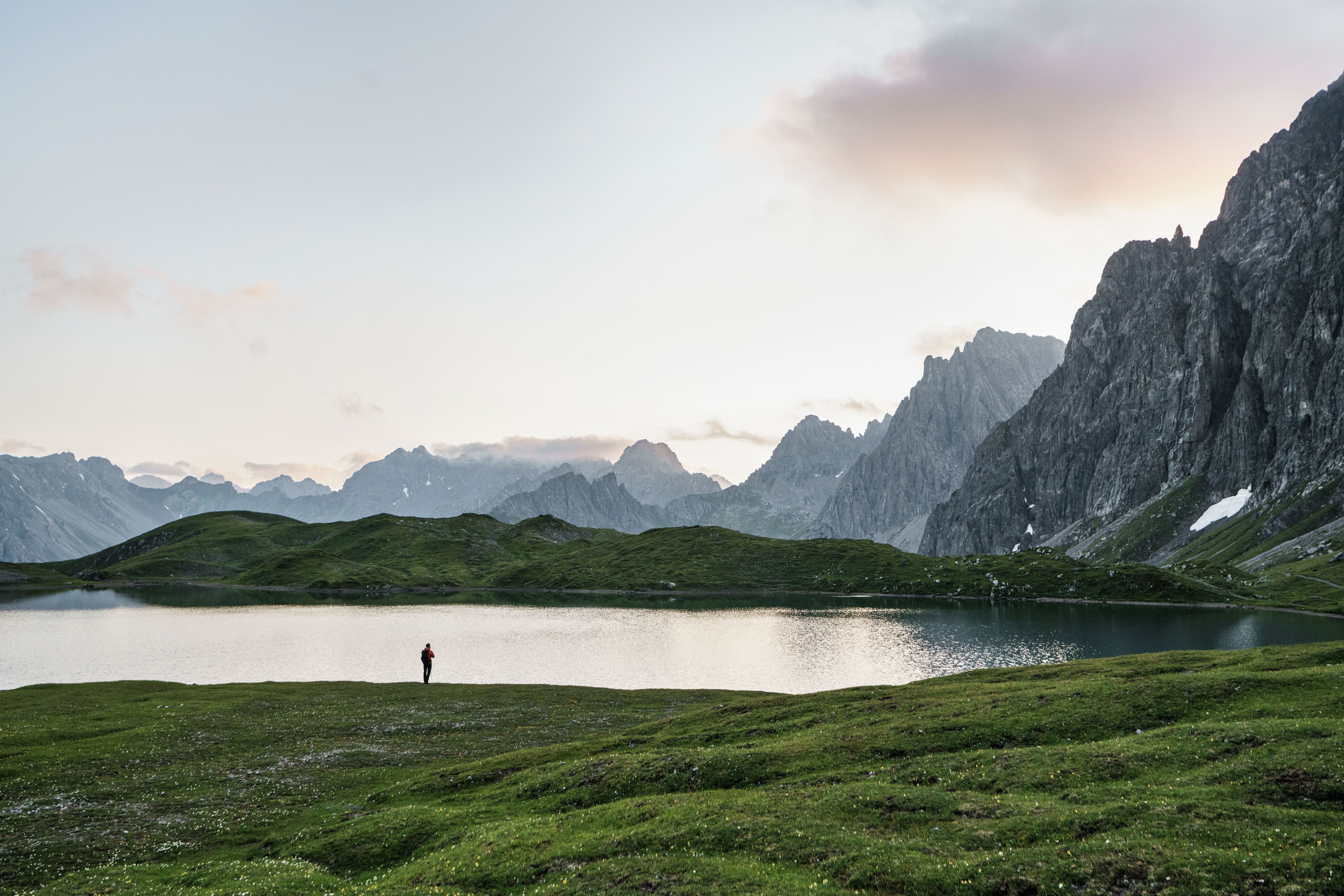
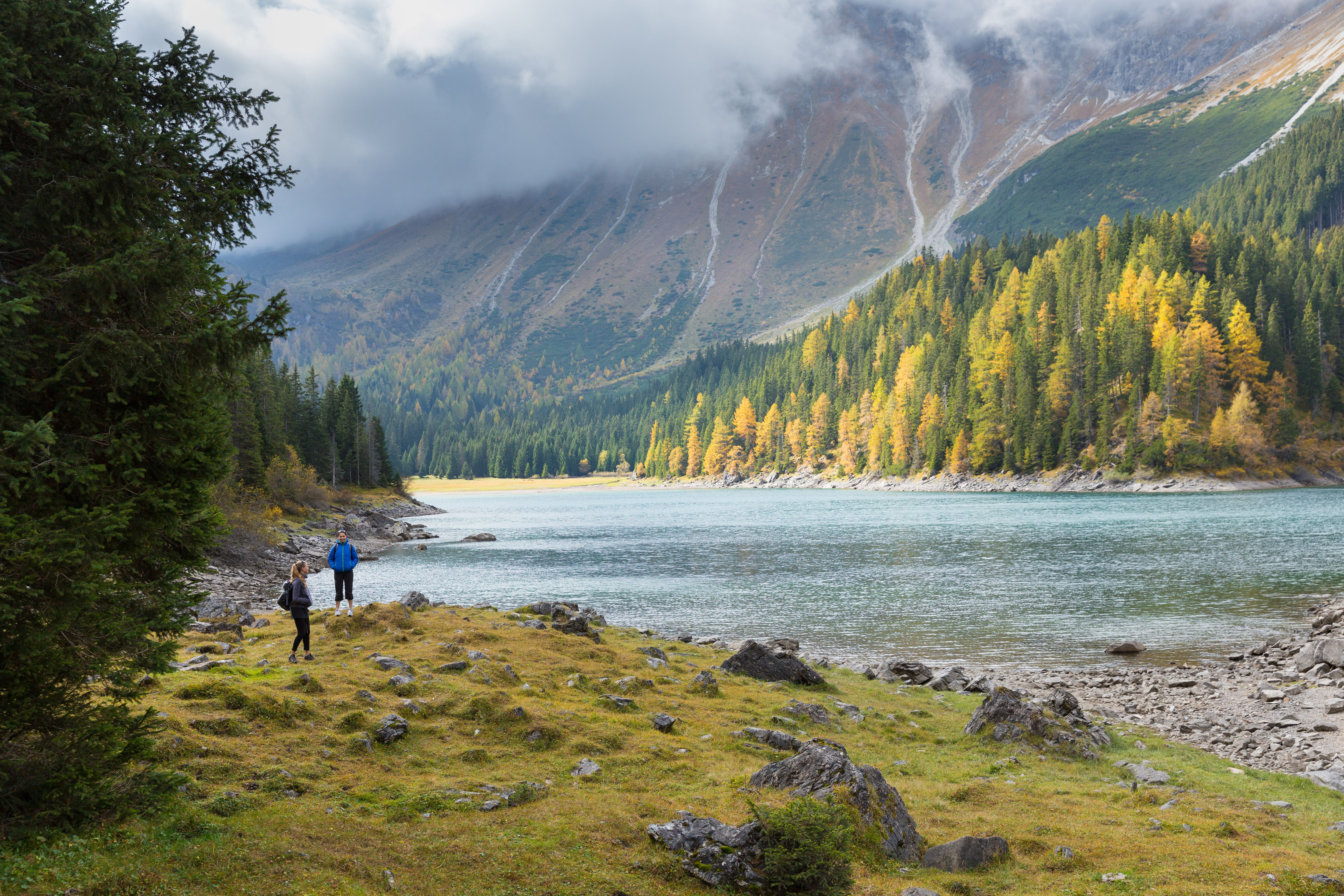
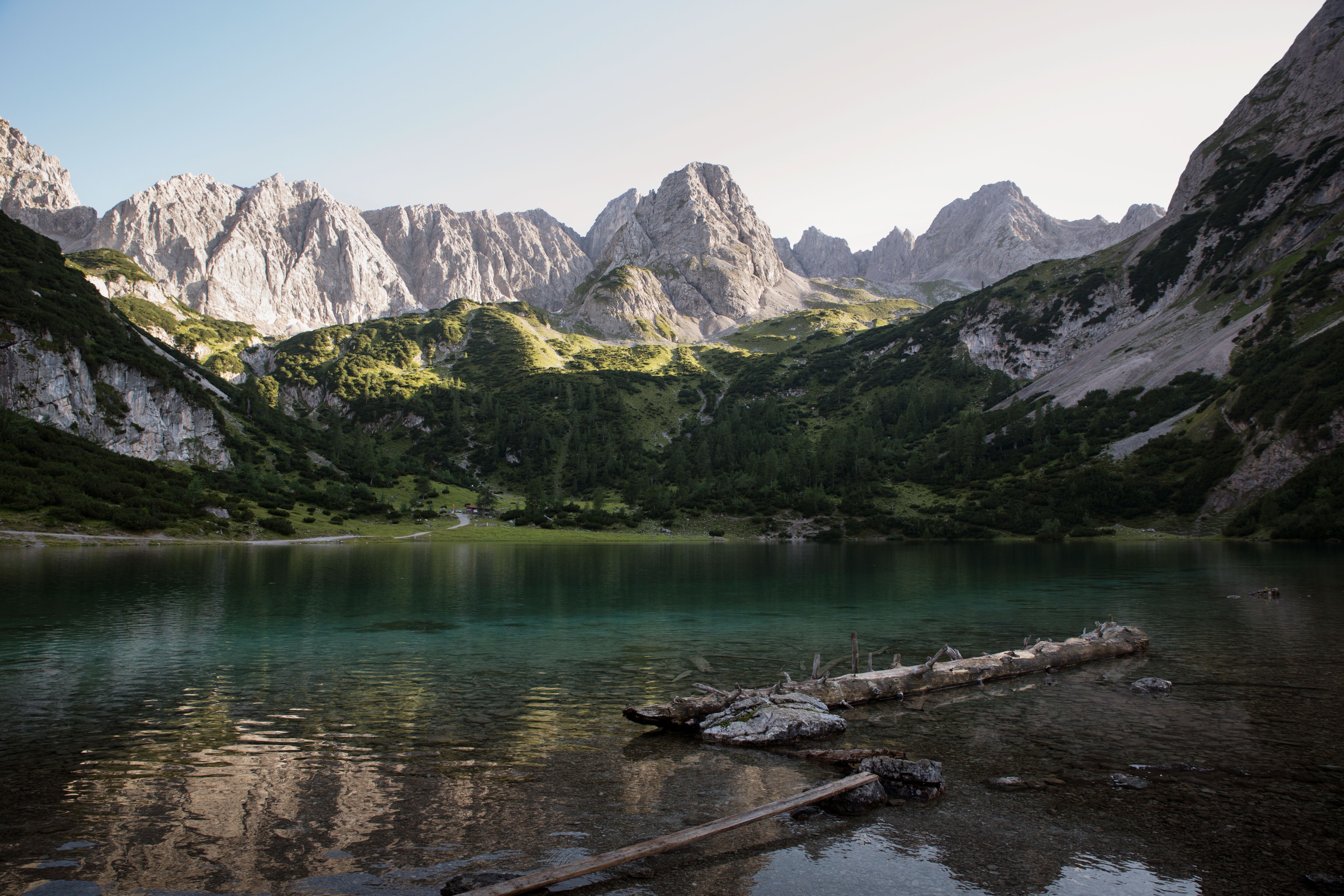
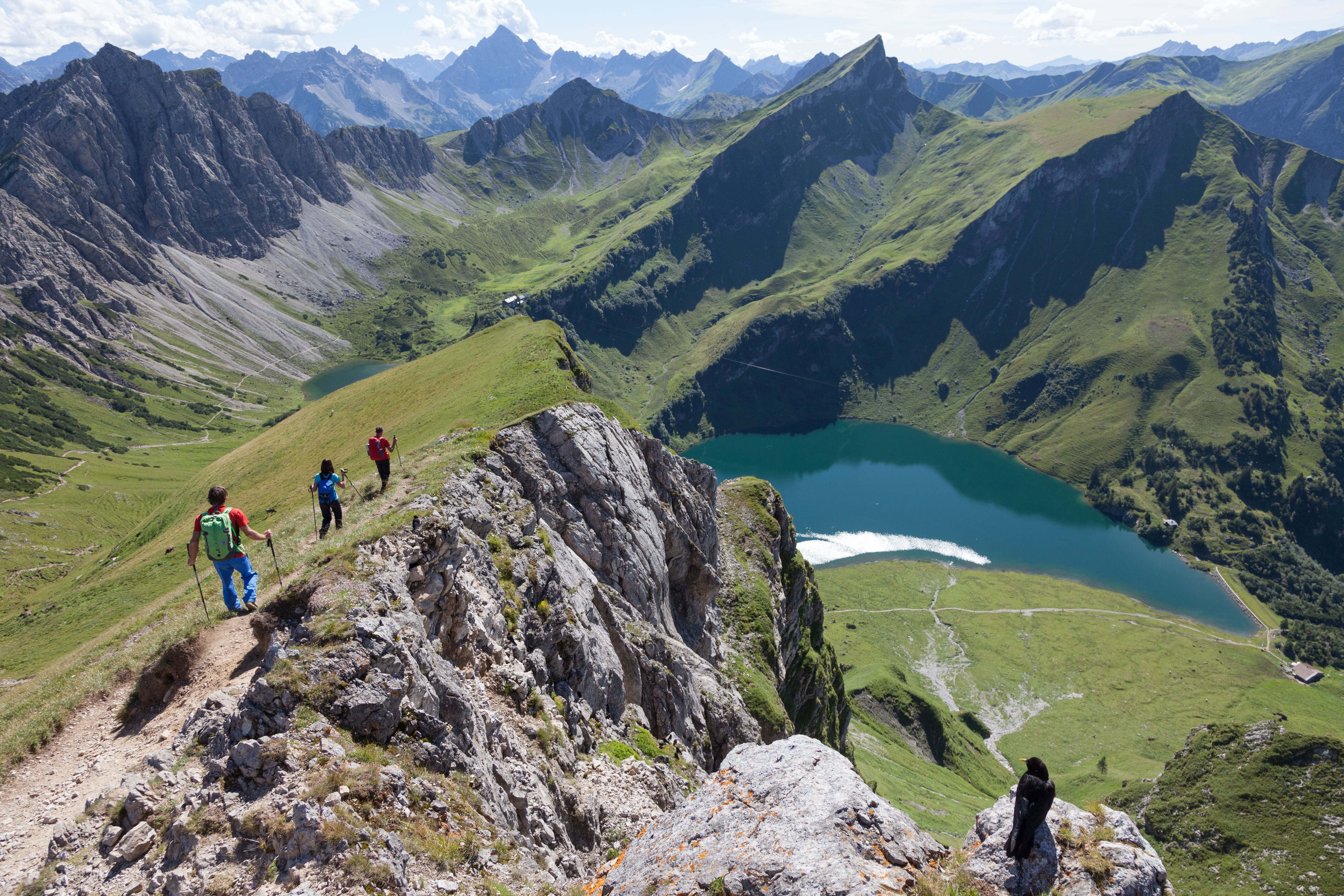
Learn more: How does a mountain lake get its colour?

More about mountain lake hikes

This might also interest you:

Newsletter

The mountain is calling? So does our newsletter!

In our monthly newsletter we reveal the best holiday tips for Tyrol.