Arrival by public transport
Bus or train.
Putzen Alm - 1.726m
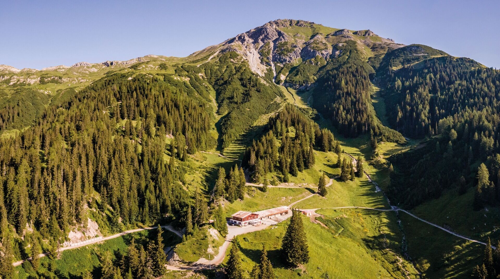
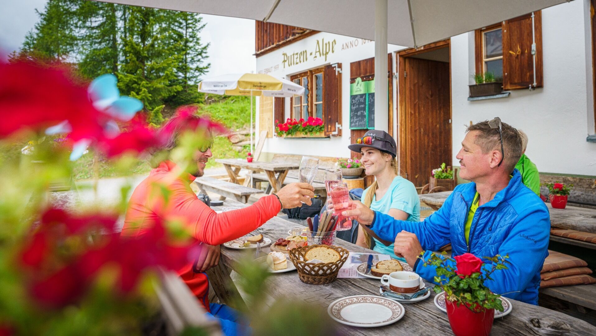
Starting from the St. Anton am Arlberg tourist office, the route leads on foot or by bike through the district of Nasserein and continues along the road through the Schöngraben valley. The path for hikers and cyclists divides here, with a wide forest path leading straight upwards in sometimes steep hairpin bends. Along the way, the Munteck viewing platform invites you to linger and offers an impressive view of the surrounding mountains and St. Anton am Arlberg. The path then becomes increasingly flat and finally leads almost level to the Putzen Alpe. Hikers have another ascent option. In Schönbachtal, you can turn right and follow the forest path. After a few hairpin bends, the narrow Putzenwaldweg branches off. The route leads upwards through the forest, over small streams and idyllic spots. Later, the forest path joins the wider track and after just a few minutes you reach the Putzen Alpe. In addition to culinary delights, the alp also offers wonderful views. From here, there are further routes via the Walcherer Höhe to the Nessler Alm in Pettneu or to the Leutkircher Hütte. The way back can be via one of the two variants or to St. Jakob and via the Jakobsweg back to St. Anton am Arlberg.
Bus or train.
At the East Terminal.
Anton Probst
6580 St. Jakob am Arlberg
0676 738 7950


