.jpg")
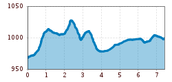
Difficulty:easy
Length:10.5 kmDuration:3:30 hElevation uphill:255 m
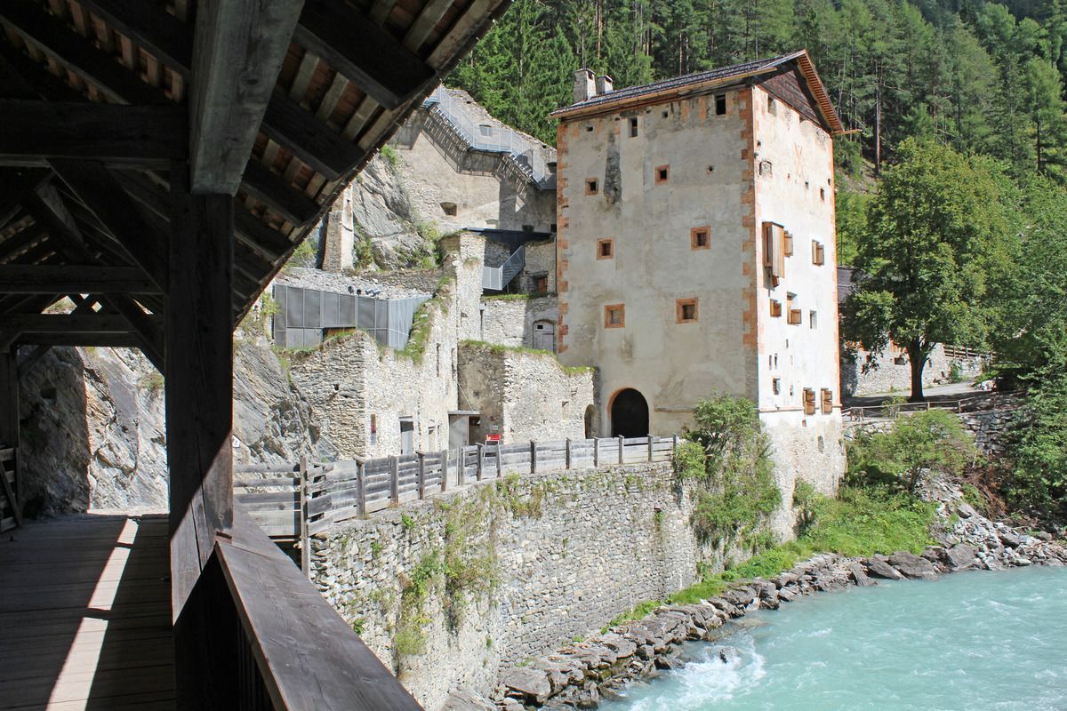
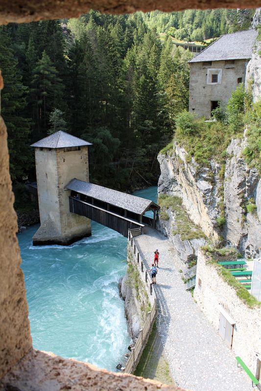
Festung Altfinstermünz
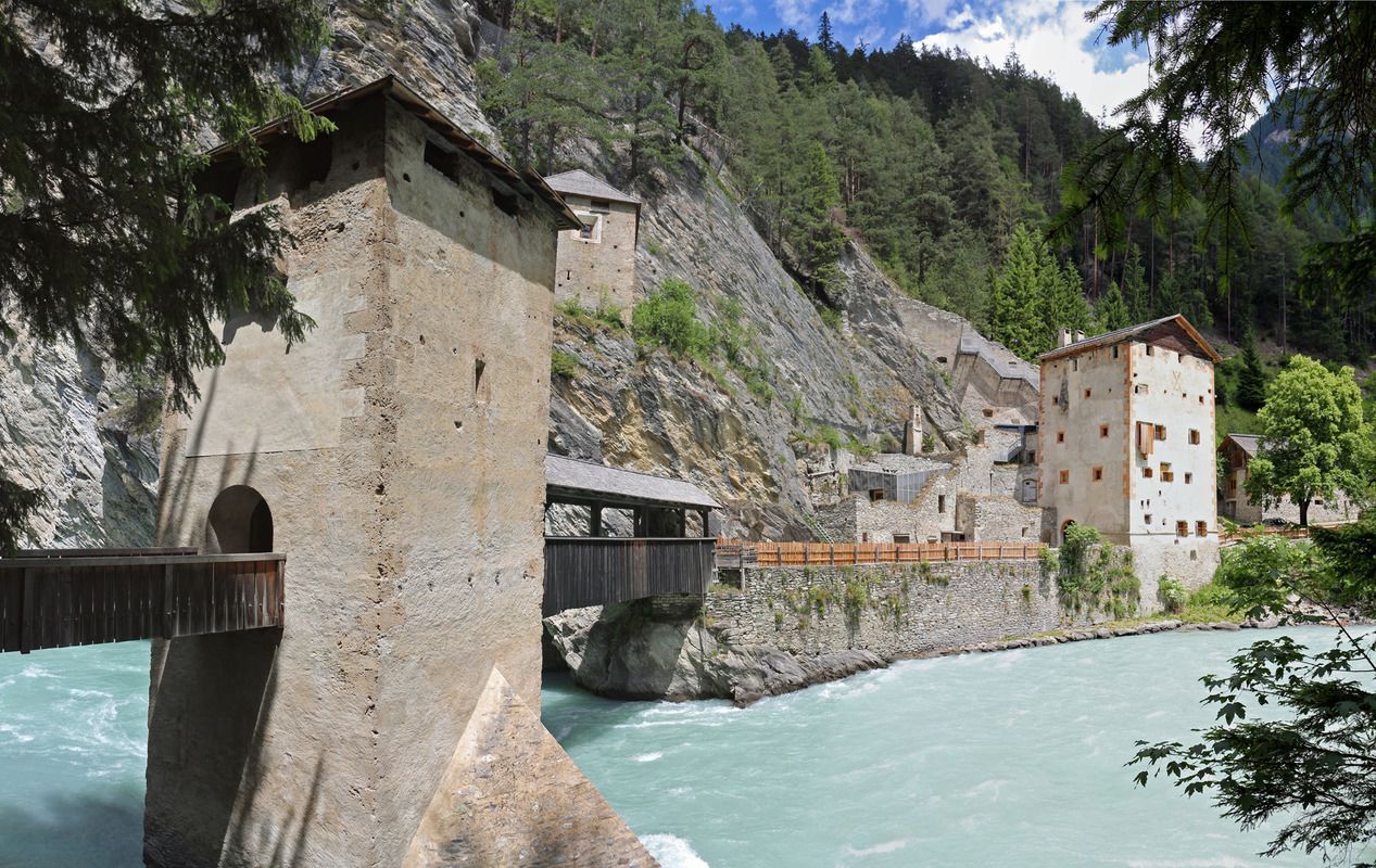
From the information office you walk through the district Stuben in the direction of Reschenpass. At the Hotel Traube turn right up towards Kobl, cross the main road at the petrol station and continue to the fork in the road Kobl/Wand. Along the Kobler Weg a path soon branches off to the left into the forest. Along the way there is a forest nature trail and fountains with wonderful spring water. Passing by are the miniature houses lovingly built by local pensioners "Mini Fundus". The Kneipp facility located after the Mini Fundus provides cooling. This forest path leads up to the Kajetansbrücke, here the Reschenstrasse is crossed and in front of the campsite Via Claudiasee the path continues uphill to the fortress Altfinstermünz.
Round walk: Innweg or Badsteig
.jpg")
.jpg")
.jpg")
.jpg")
.jpg")
.jpg")
.jpg")
")

.jpg")
.jpg")
.jpg")
.jpg")
.jpg")
.jpg")

.jpg")

")
.jpg")

.jpg")
