Mountain hikes Alpine trail below the Kellerjoch to Loas and Naunz

Pill / Tuxer Alpen
Difficulty ratings: medium
Route length: 12.0 km
Duration: 4:30 h

Contemplative hike through magnificent alpine flora.

Tour information

  • Requirement: medium
  • Length: 12.0 km
  • Duration: 4:30 h
  • Elevation uphill:585 hm
  • Elevation downhill:590 hm
Highest point1,844 m

Starting point

Car park Hochpillberg at junction Loas

Finishing point

Car park Hochpillberg at junction Loas
  • Fitness level 3 / 6
  • Technique 3 / 6

Features

  • Circular route

Best time of year

  • January
  • February
  • March
  • April
  • May
  • June
  • July
  • August
  • September
  • October
  • November
  • December

Trail condition

Frost Path, hiking trail

Equipment

  • Festes Schuhwerk
  • Regenschutz/Sonnenschutz
  • Ausreichend Trinkwasser/Snacks
  • Source: TVB Silberregion Karwendel

    Description

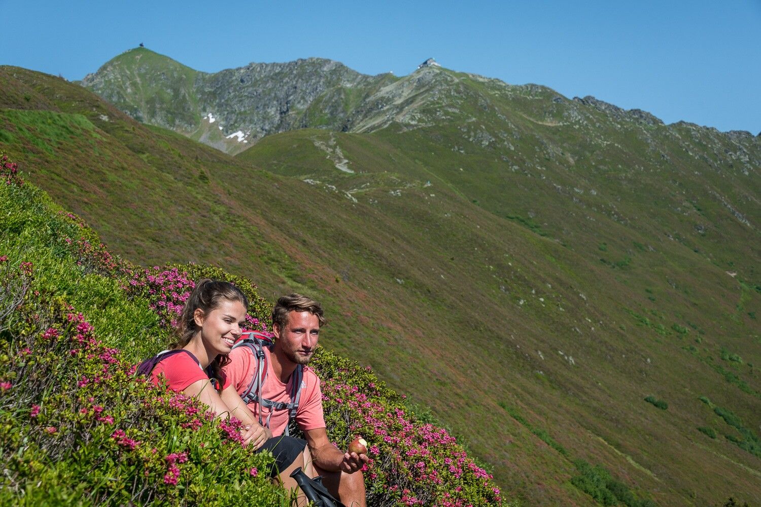
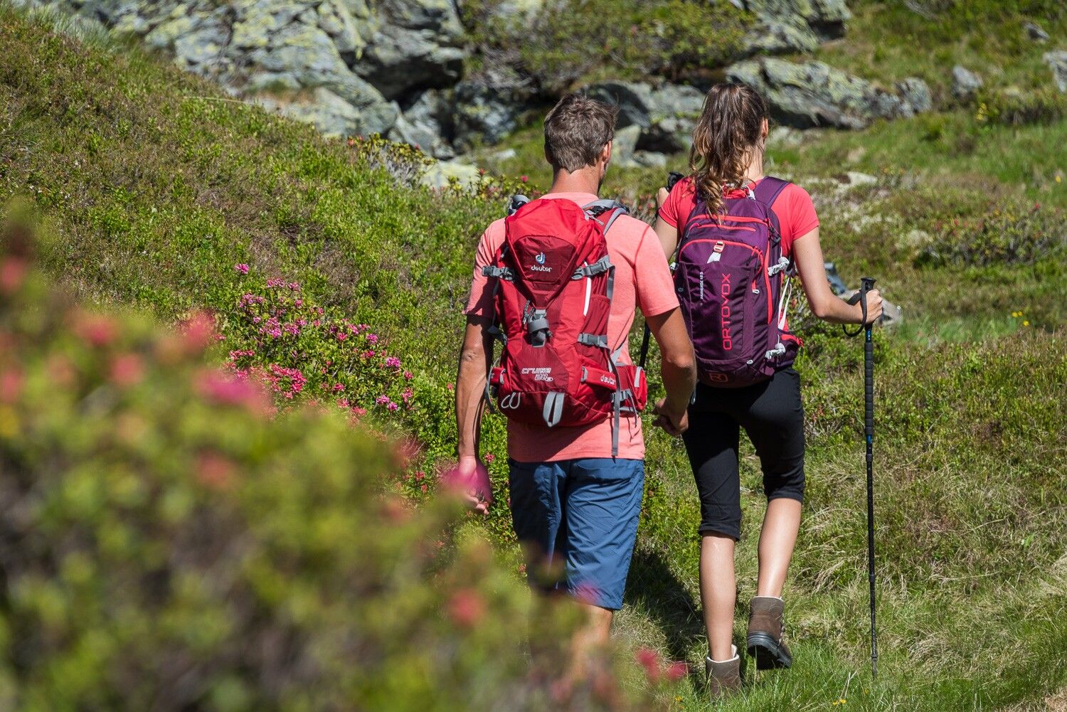
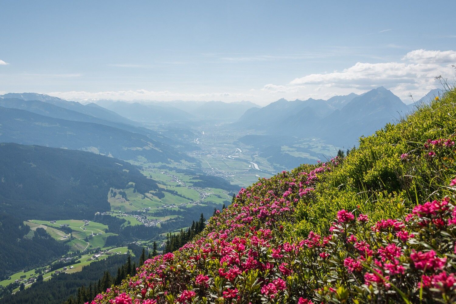
    The extensive network of alpine paths on the slopes of the Kellerjoch massif offers ideal conditions for anyone wishing to enjoy nature and tranquillity. Once you have made the ascent to the Naunzalm Hochleger, two panoramic trails with stunning views lead on almost effortlessly. Not only are you accompanied by views of the Karwendel mountains, but the immediate surroundings are also inspiring: the sunnysouthern slopes are transformed into a colourful sea of flowers.

    Getting here

    • Arrival by public transport

      Train to Schwaz station - regional bus 8 to the bus stop Parkplatz Abzw. Loas

      You can find the bus timetables at www.smartride.vvt.at

    • Parking

      Paid parking lot at the Loas junction

    More tours in the surrounding area

    Newsletter

    The mountain is calling? So does our newsletter!

    In our monthly newsletter we reveal the best holiday tips for Tyrol.