
Opening hours:Today closed
Place:Sölden
:Restaurant, Fine-dining restaurant
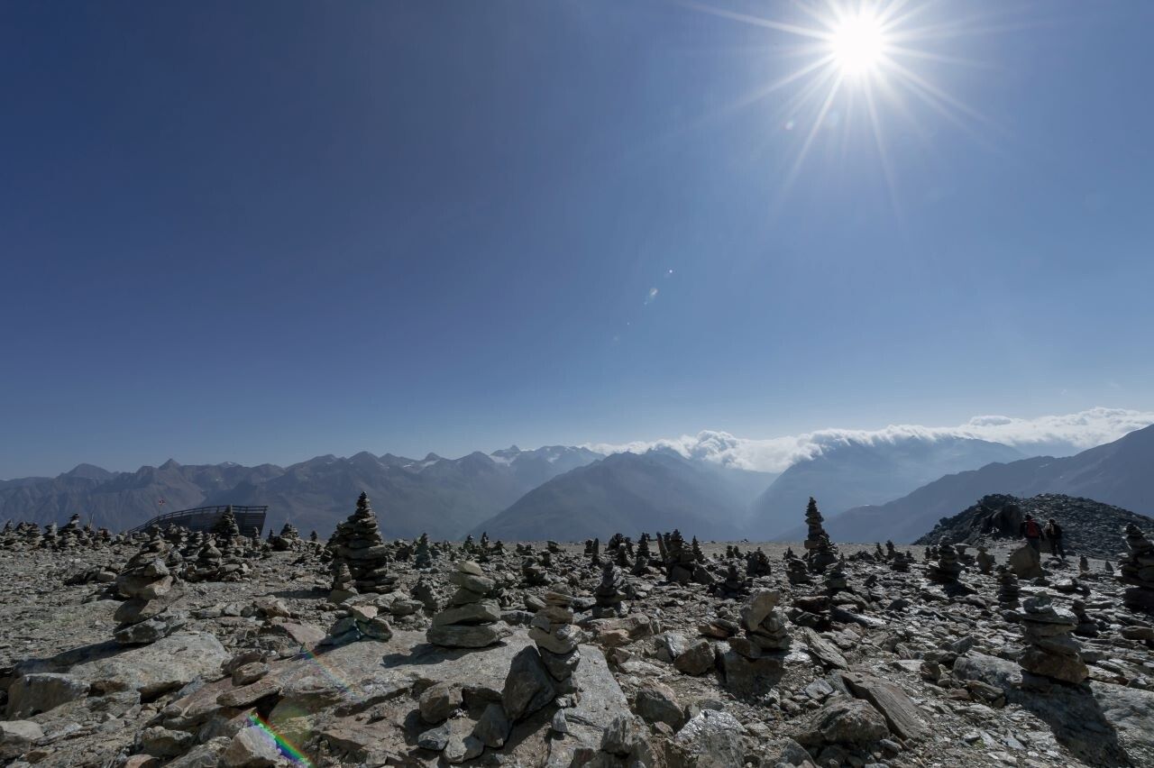
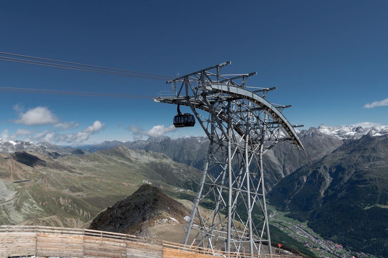
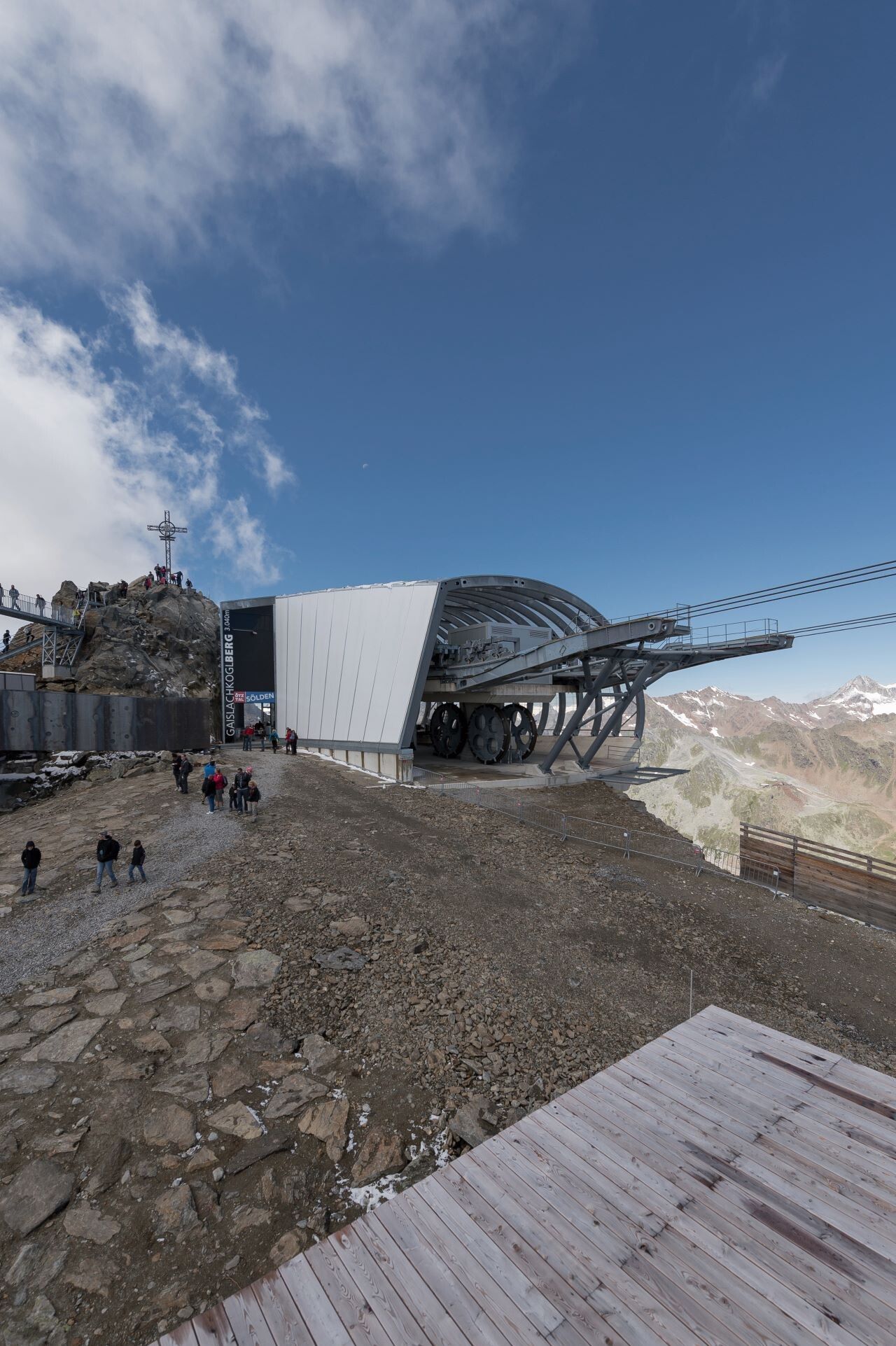
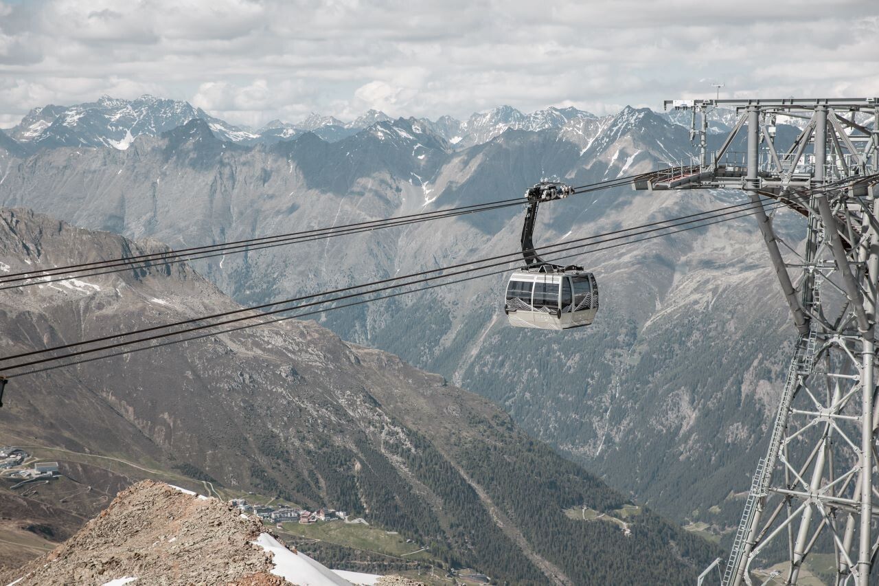
Ascent with the Gaislachkogl cable car to the Gaislachkogel middle stationHiking: Gaislachkogel middle station - Gaislachkogl upper station - Sölden
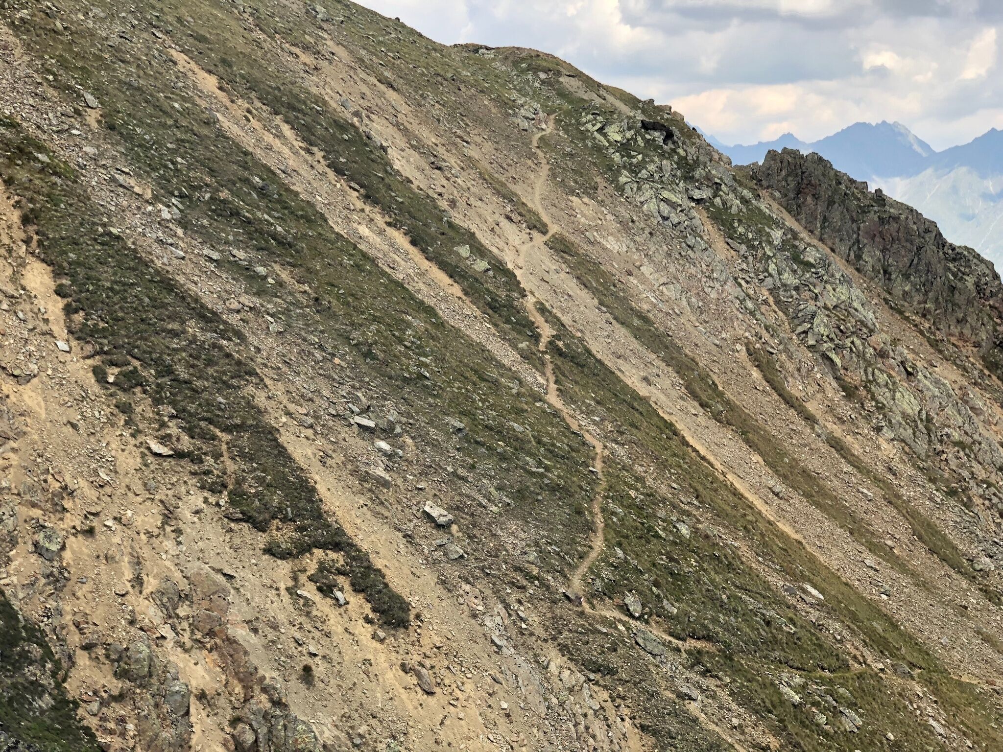


Red mountain trails are moderately difficult: some narrow and steep, but secured walking and climbing sections await hikers. The corresponding signs are on a yellow background and display a red circle as a difficulty rating.
Moderately difficult mountain trail; suitable for sure-footed and experienced mountain hikers; good physical condition, mountain experience, and mountain equipment (see under equipment) necessary. Please check the current weather report at: www.oetztal.com/en/summer.html
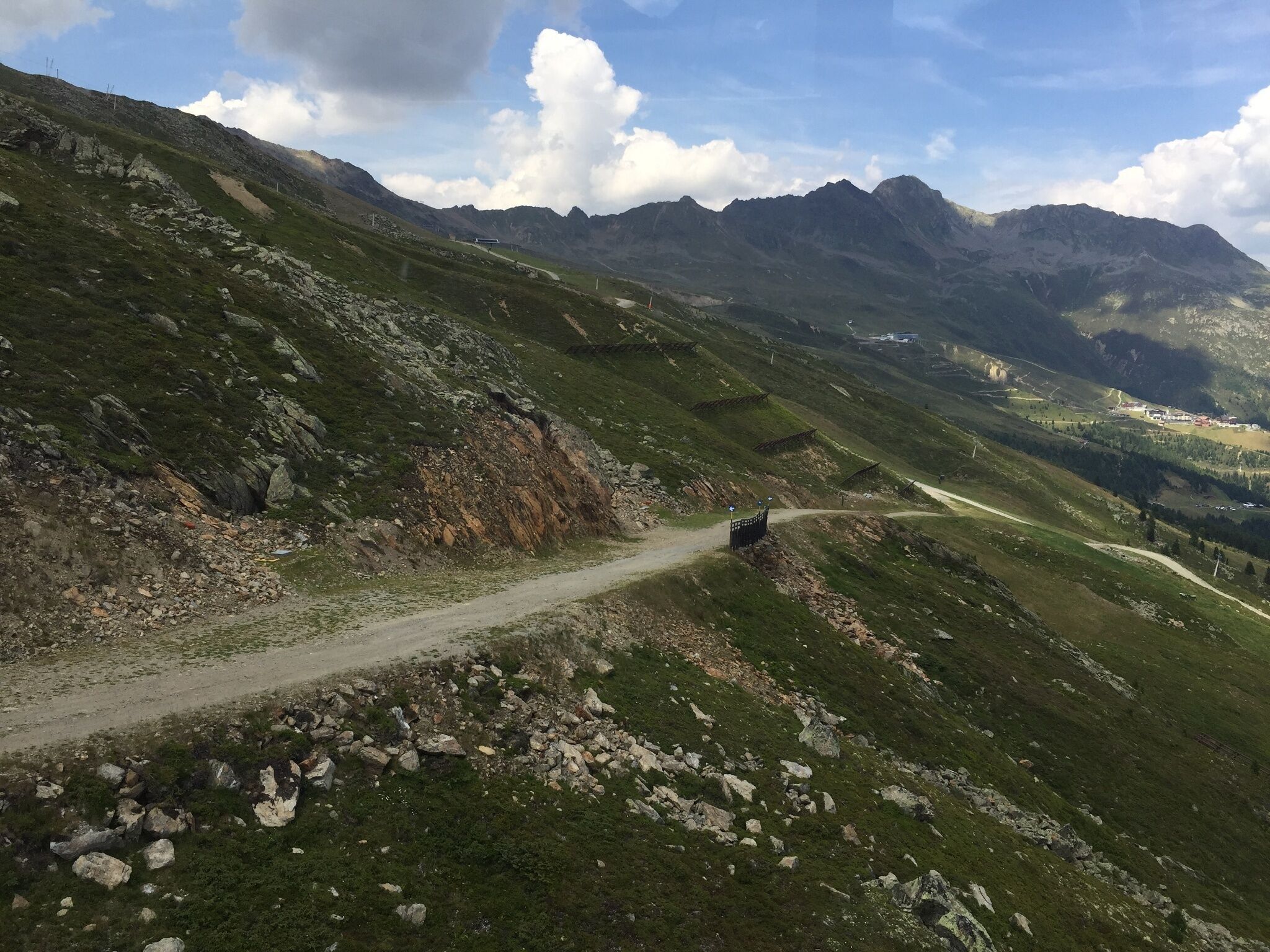
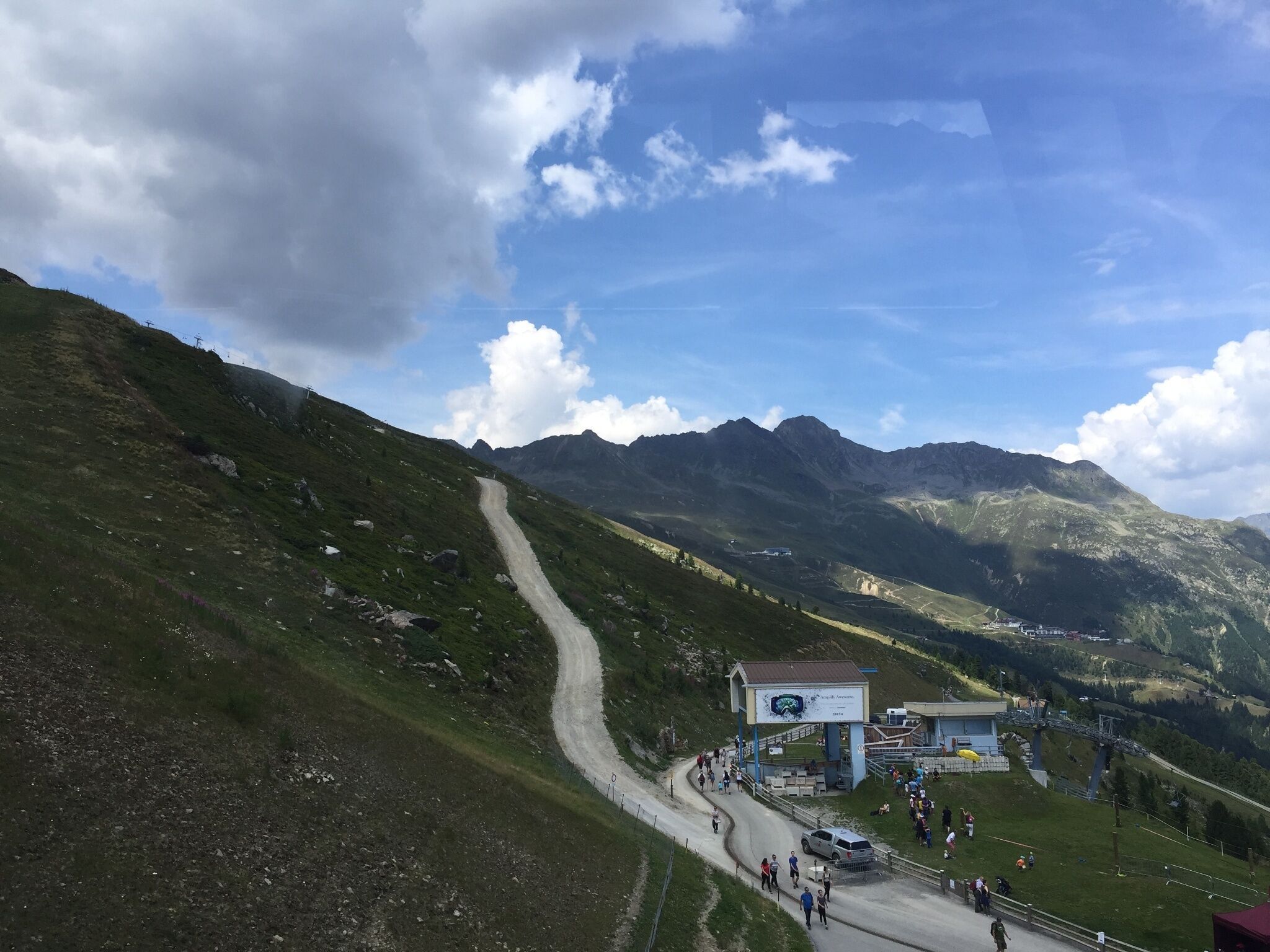
Appropriate equipment such as breathable and weather-adapted outdoor clothing, ankle-high hiking boots, wind, rain, and sun protection, a hat, and possibly gloves are required for all hikes and routes. Carrying a first aid kit, a mobile phone, and possibly a hiking map, as well as sufficient provisions for hikes without dining options, is necessary.From the middle station of the Gaislachkogl cable car, a wide gravel path leads uphill over the ski slope to the Gaislachkogl. Where the alpine meadows bloom, you encounter native grazing animals such as sheep, cows, and horses. Along the idyllic mountain slopes, which are hardly recognizable in winter as a ski slope, the path leads uphill and over the Wasserkar to the Gaislachkogl. This beautiful, moderately difficult hike offers an authentic mountain experience with a magnificent view along the route.
Travel comfortably and safely by train to the Ötztal railway station. The final station or exit point is the ÖTZTAL station. Afterwards, you can travel conveniently and quickly with public transport or local taxi companies through the entire valley to your desired destination. The current bus schedule is available at: fahrplan.vvt.at
In Sölden, the following parking options are available:
All parking spaces are free during the day.
For parking for several days (e.g., hut tour):


