Circular route Leins - Wenns - Arzl-Ried
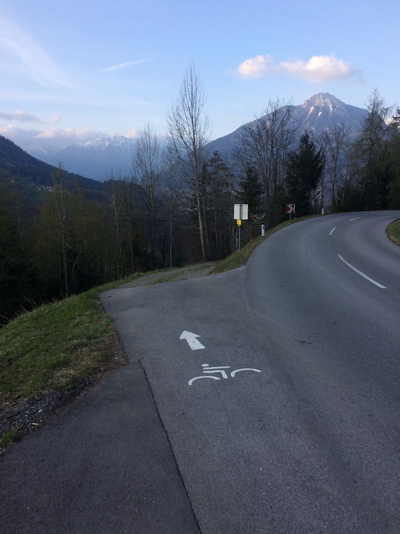
Arzl im Pitztal / Ötztal Alps
Difficulty ratings: medium
Route length: 8.2 km
Duration: 3:15 h

Circular route Leins - Wenns - Arzl-Ried
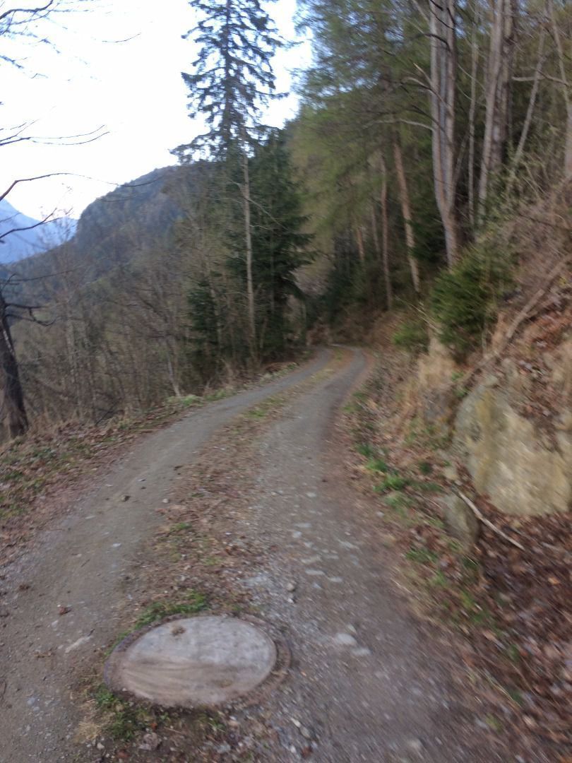
Tour information

  • Requirement: medium
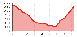
  • Length: 8.2 km
  • Duration: 3:15 h
  • Elevation uphill:310 hm
  • Elevation downhill:330 hm
Highest point1,068 m

Starting point

Church in Leins

Finishing point

Church in Leins

Features

  • Circular route

Best time of year

  • January
  • February
  • March
  • April
  • May
  • June
  • July
  • August
  • September
  • October
  • November
  • December

Trail condition

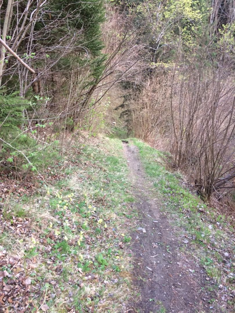
asphalt, forest path
Source: TVB Pitztal

Description

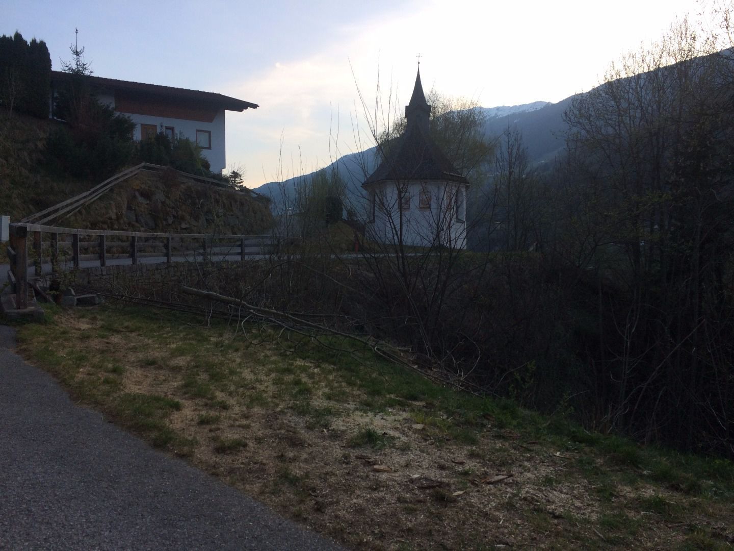
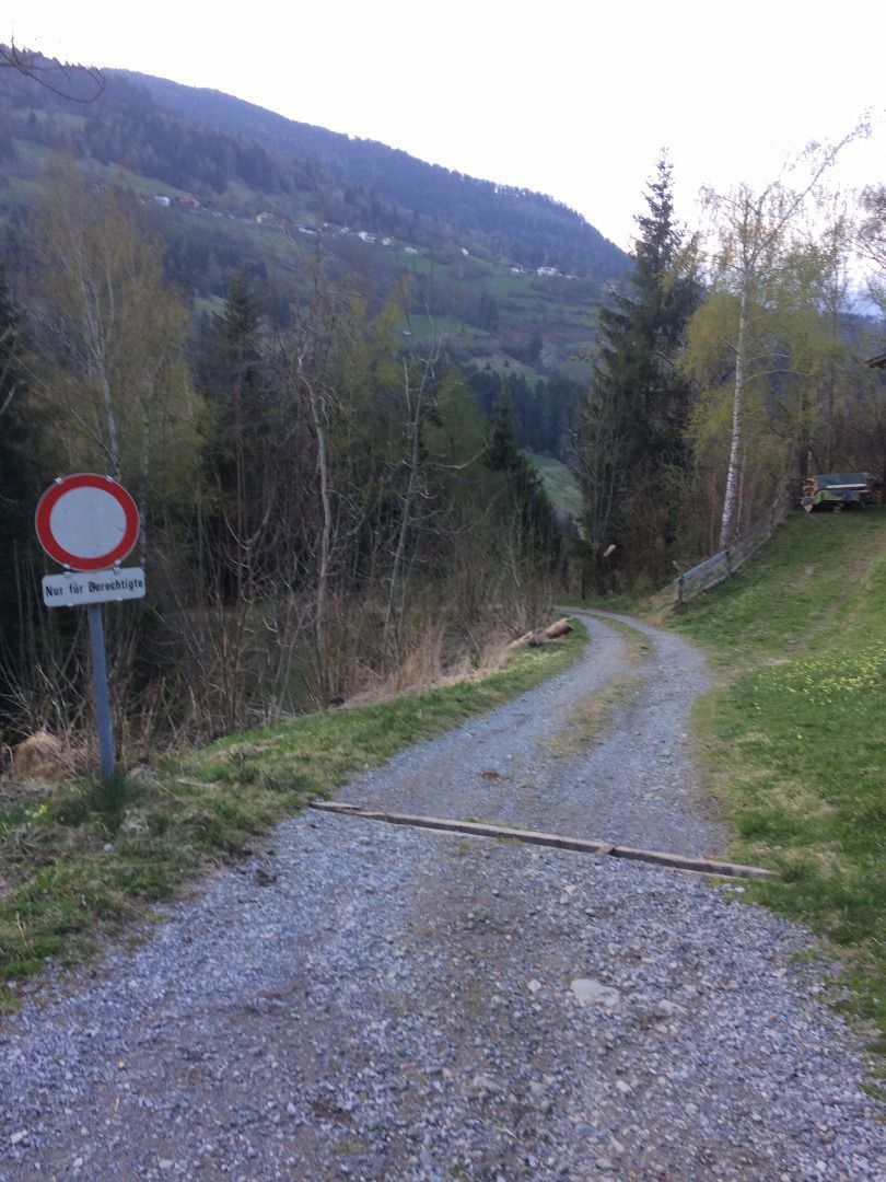
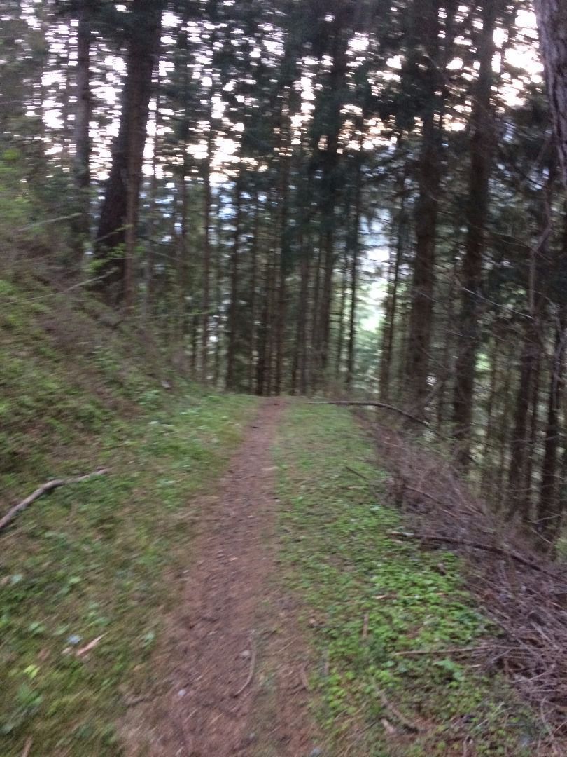
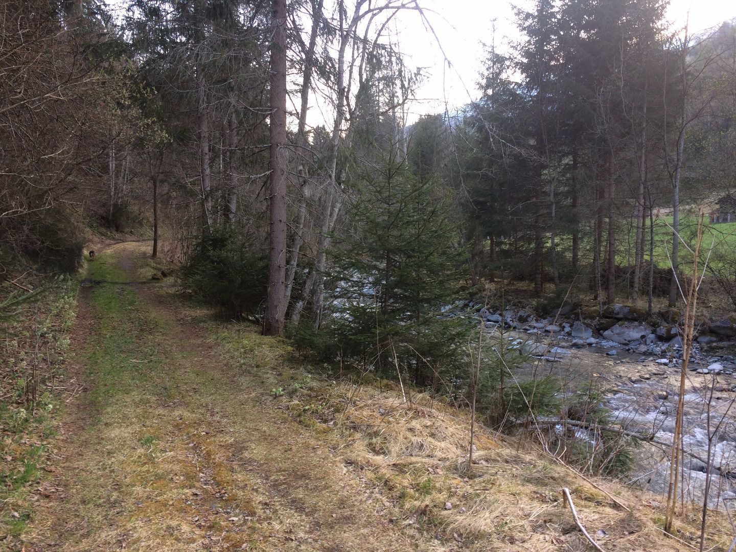
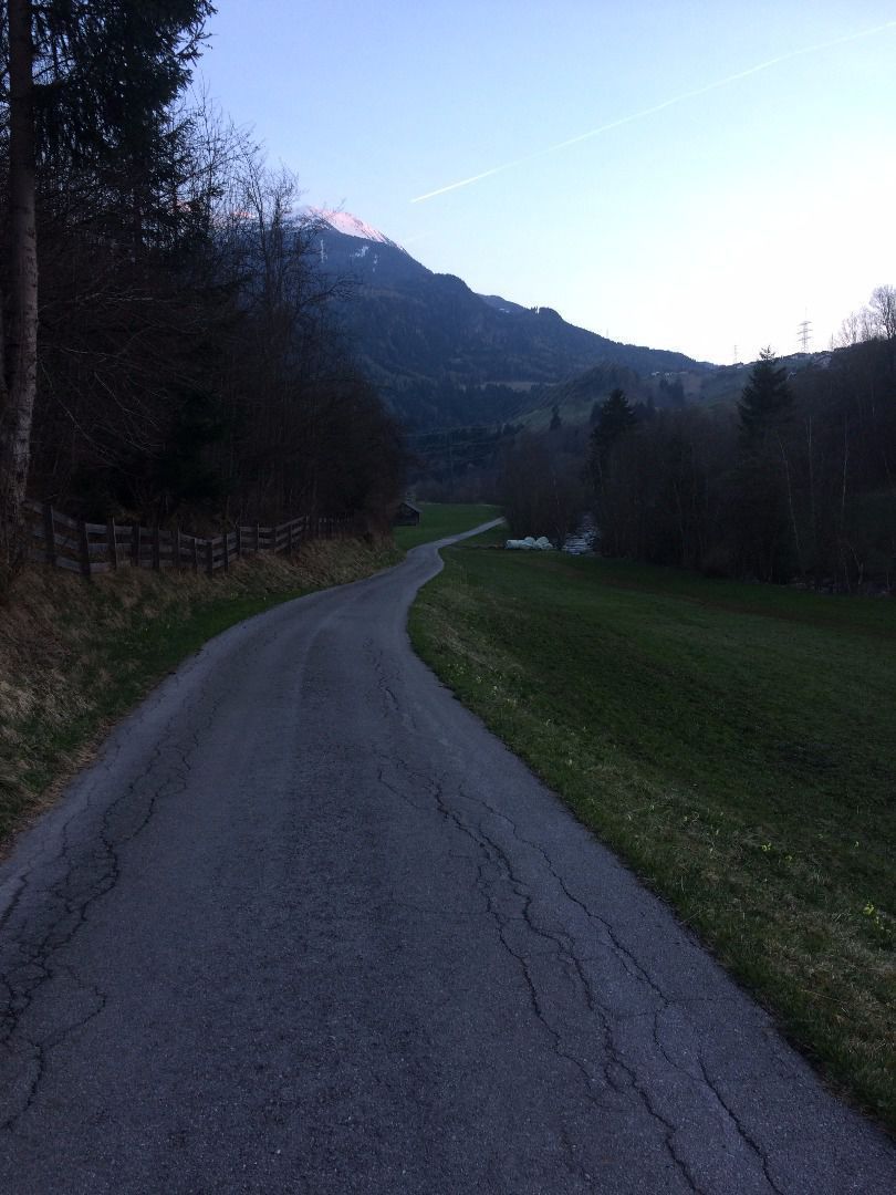
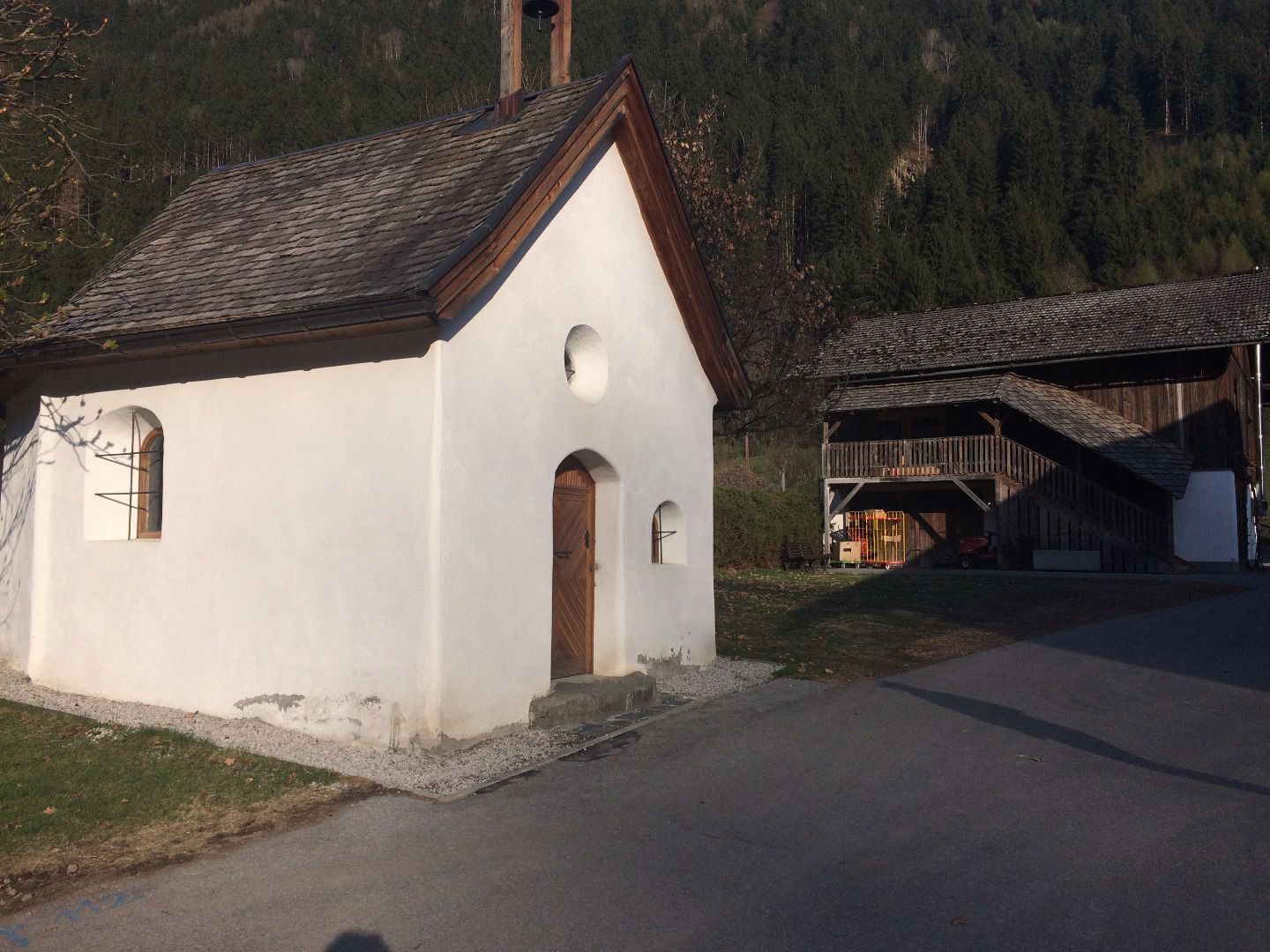
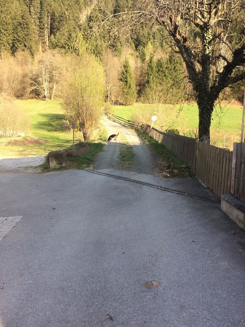
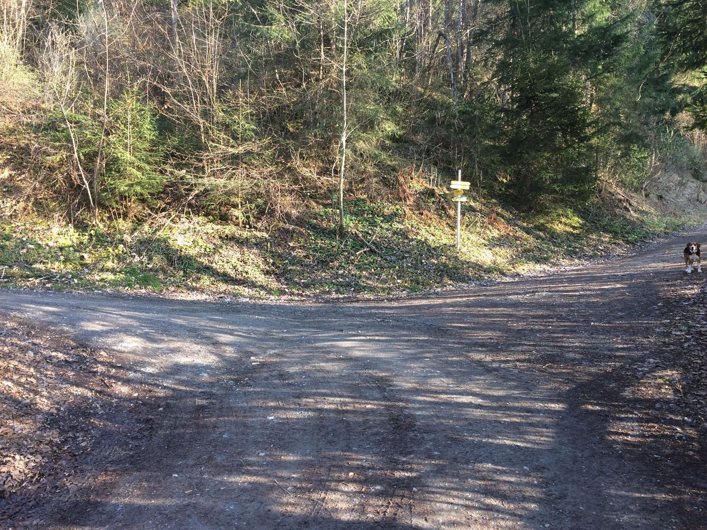
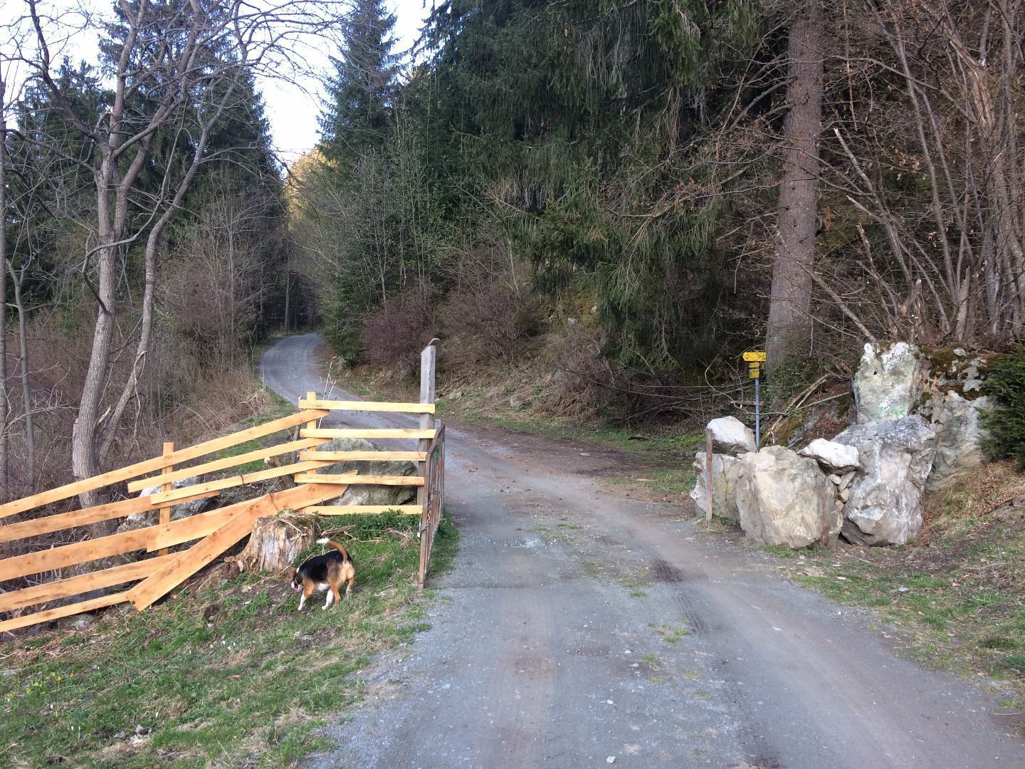
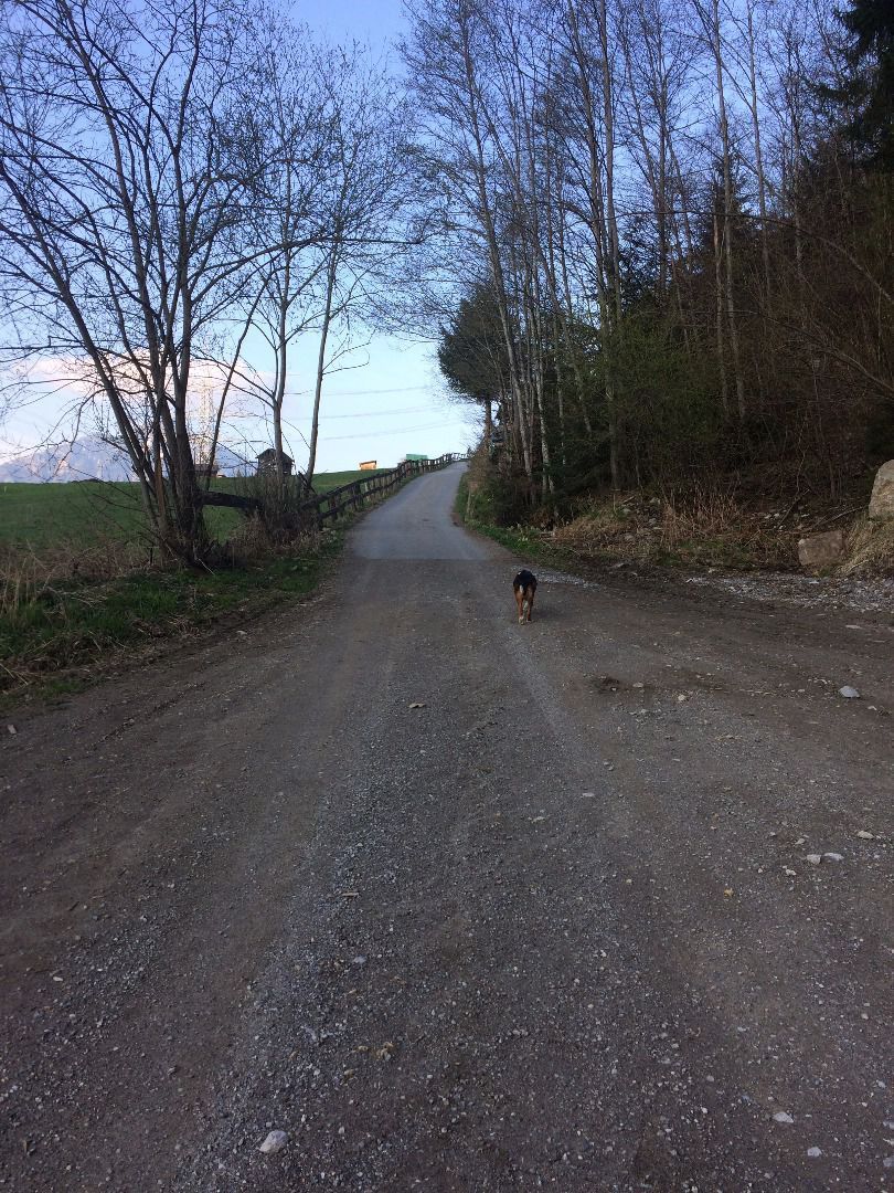
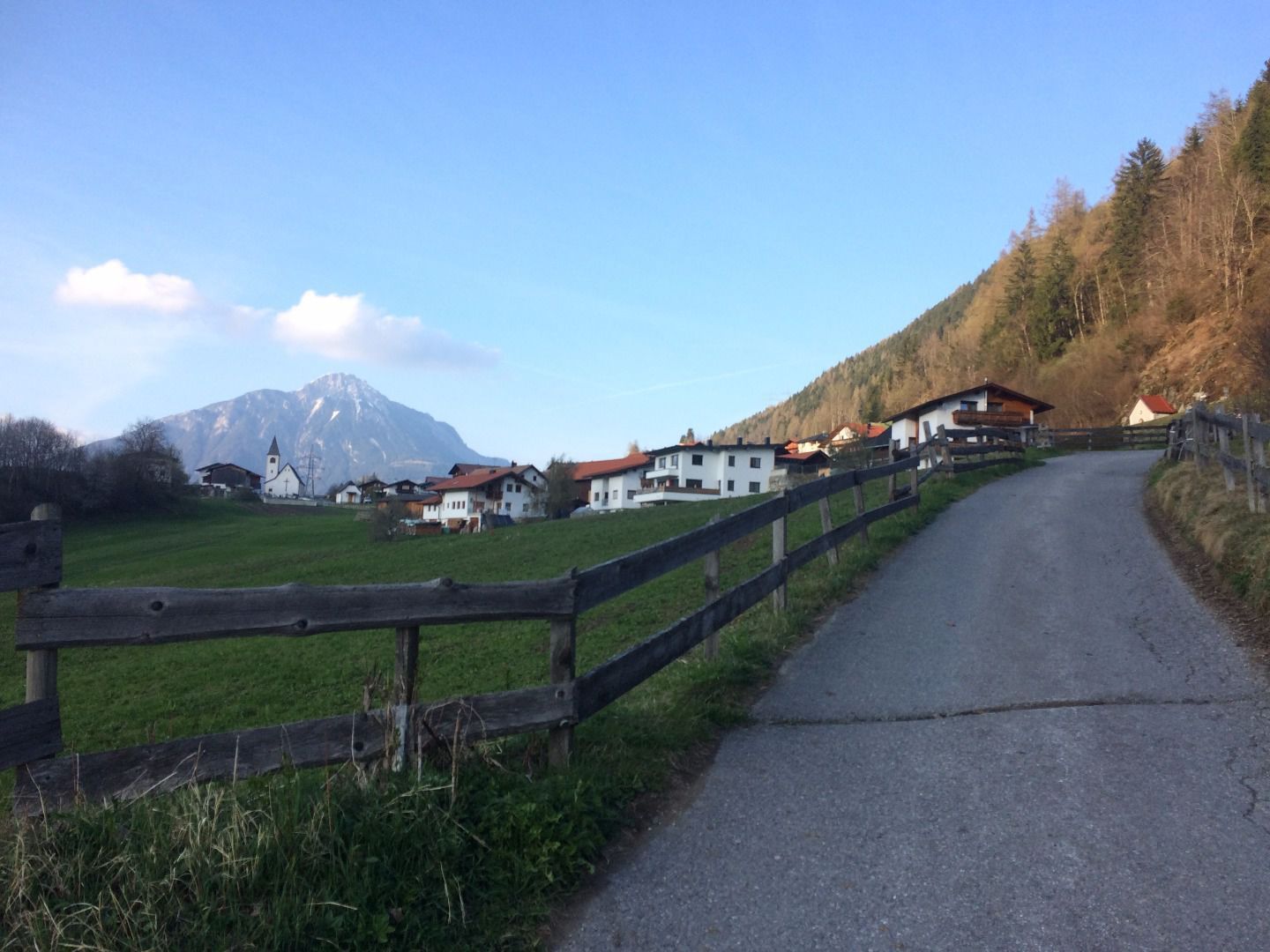
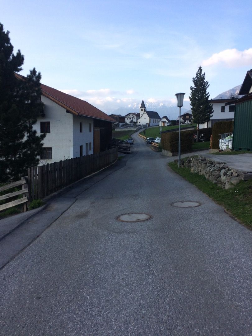
Starting point: Car park by the church Leins. At the church square turn right to the Karrertrog until you reach a chapel. Once there, turn right in the direction of the Karrer Wiesen and follow a forest path to the hamlet of Pitzenhöfe. From there, you may choose to continue walking to Wenns or return to Leins. To return to the start, take the path on the right after the Pitzenhöfe chapel in the direction of the Klärwerk [waterprocessing unit]. When you reach a crossroads, turn right and walk on a forest path along the river Pitze to the Blonerstein and Arzl-Ried. Once there, a forest path takes you back to the starting point.

Weather

Today

light rain showers
18°C/10°C
90%16l5 km/h

Sat

mainly clear
19°C/9°C
45%0.2l5 km/h

Sun

mainly clear
20°C/9°C
40%0l5 km/h
Go to weather forecast

More tours in the surrounding area

Newsletter

The mountain is calling? So does our newsletter!

In our monthly newsletter we reveal the best holiday tips for Tyrol.