Mountain hikes From the Weidener Hut to the Geiseljoch

Weerberg / Tux Alps
Difficulty ratings: medium
Route length: 9.2 km
Duration: 3:45 h

High up to the Geiseljoch.

Tour information

  • Requirement: medium
  • Length: 9.2 km
  • Duration: 3:45 h
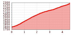
  • Elevation uphill:490 hm
  • Elevation downhill:485 hm
Highest point2,290 m

Starting point

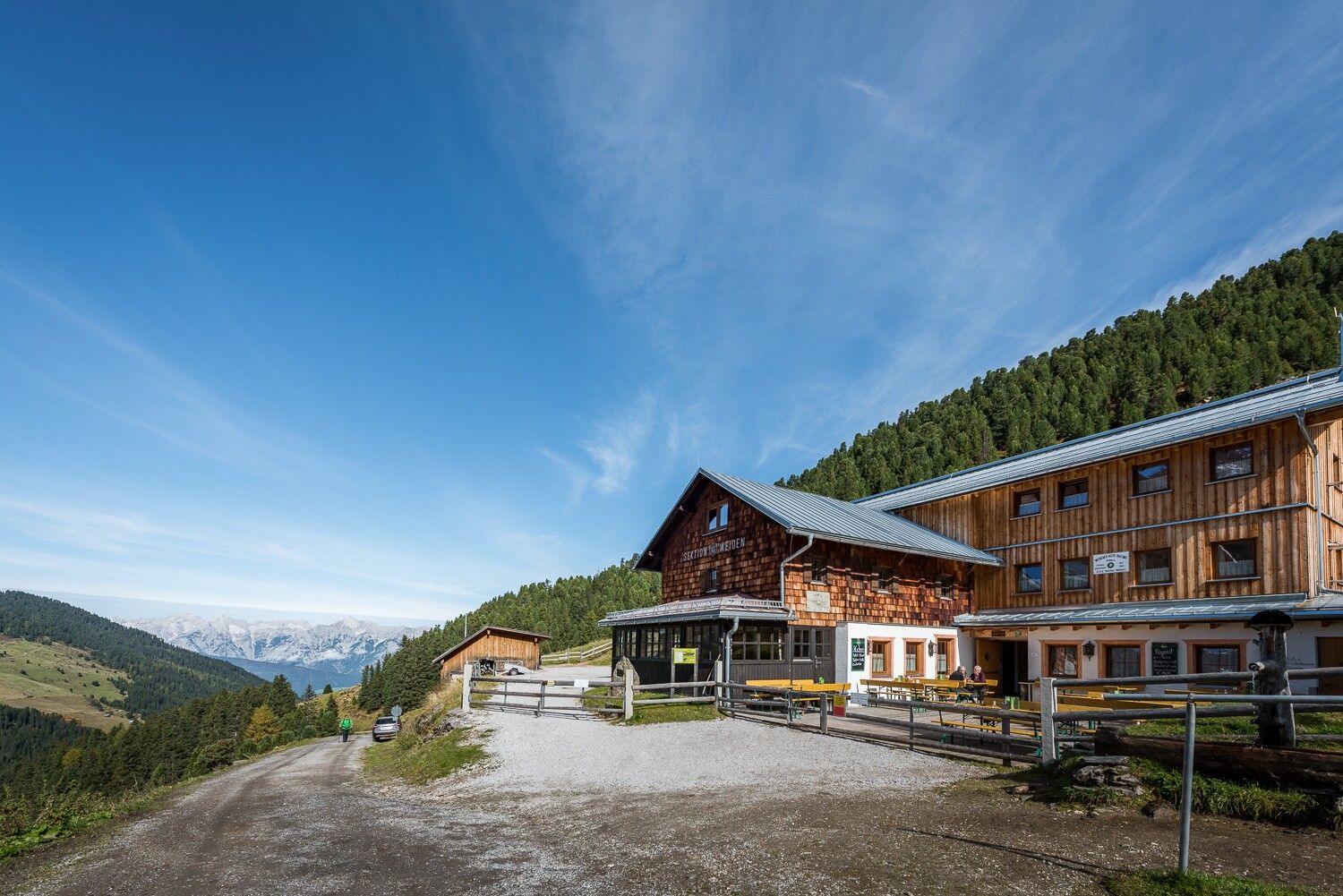
Weidener Hütte

Finishing point

Geiseljoch
  • Fitness level 2 / 6
  • Technique 3 / 6

Best time of year

  • January
  • February
  • March
  • April
  • May
  • June
  • July
  • August
  • September
  • October
  • November
  • December

Trail condition

a wide forest road, then a narrow footpath

Equipment

  • Sturdy footwear
  • Rainwear/sun protection
  • Plenty of drinking water/snacks
Source: TVB Silberregion Karwendel

Description

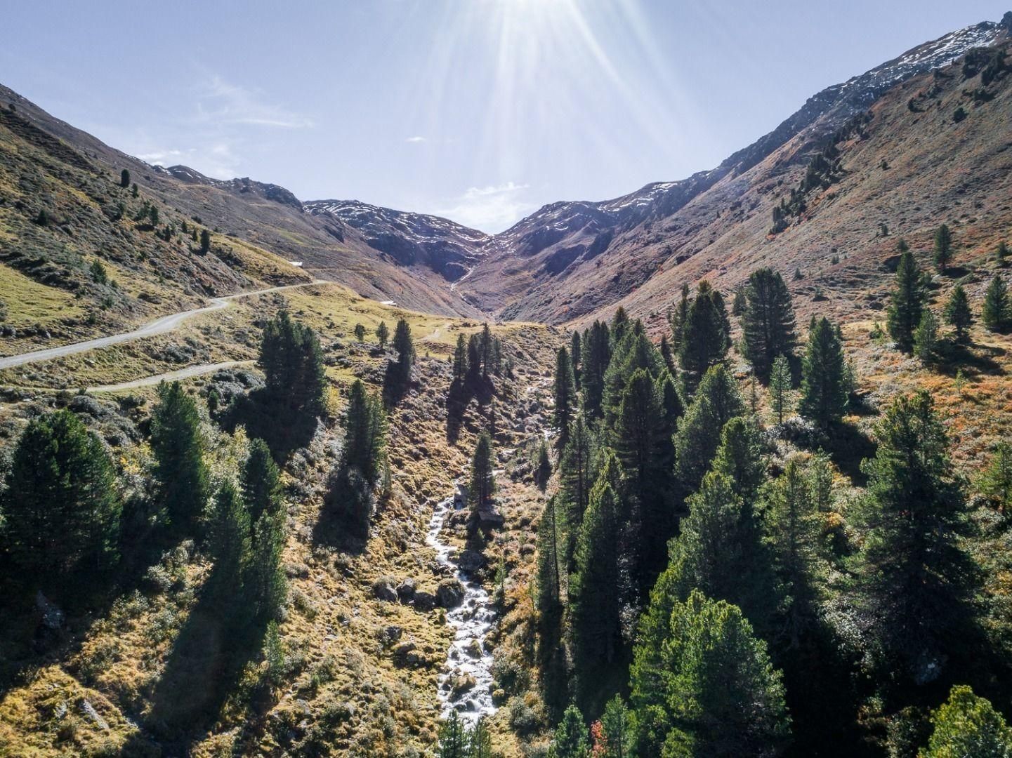
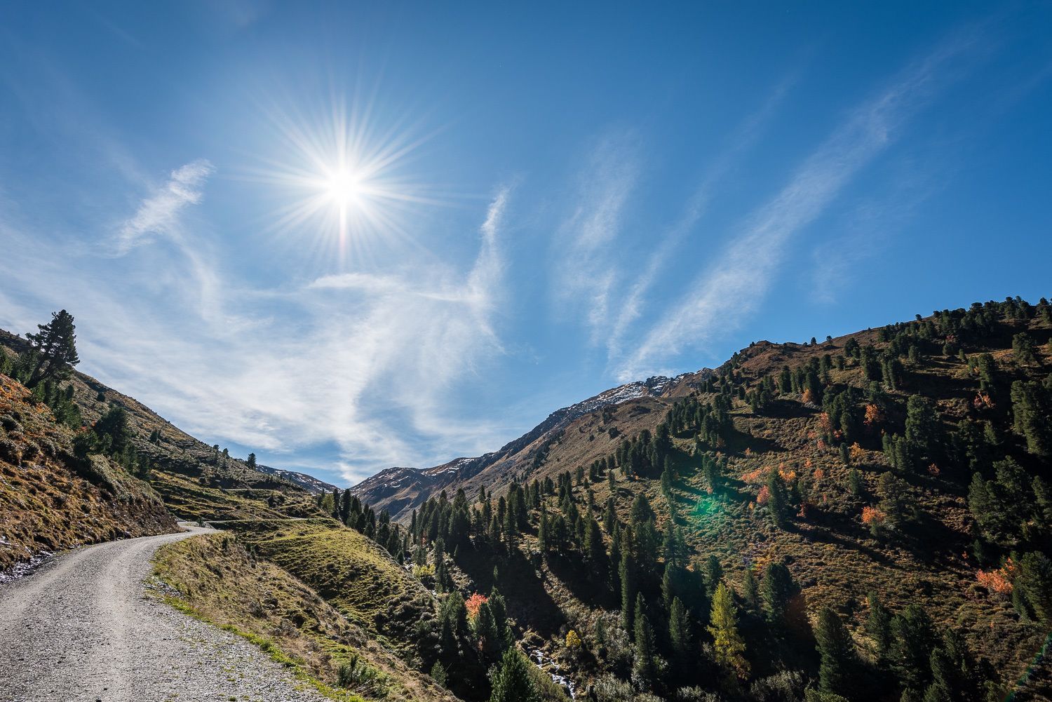
This popular mountain bike route is also a real treat on foot. A wide forest track winds its way through the high peaks of the Tux Alps to the Geiseljoch. In the final stretch, the wide forest track narrows to a narrow path before you reach the Geiseljoch viewpoint.

Nearby huts and mountain restaurants

  • Weidener Hütte

    Opening hours:Open today
    Place:Weerberg
    :Alpine pasture / hut / mountain restaurant

Getting here

  • Parking

    Car park Weidener Hütte

Weather

Today

mainly clear
26°C/12°C
35%0.2l5 km/h

Thu

mainly clear
29°C/14°C
5%0l10 km/h

Fri

mainly clear
29°C/14°C
80%9.1l10 km/h
Go to weather forecast

More tours in the surrounding area

Newsletter

The mountain is calling? So does our newsletter!

In our monthly newsletter we reveal the best holiday tips for Tyrol.