
Place:
Galtür
:
Restaurant, Alpine pasture / hut / mountain restaurant
Medium difficulty hike over the Muttenjoch ridge
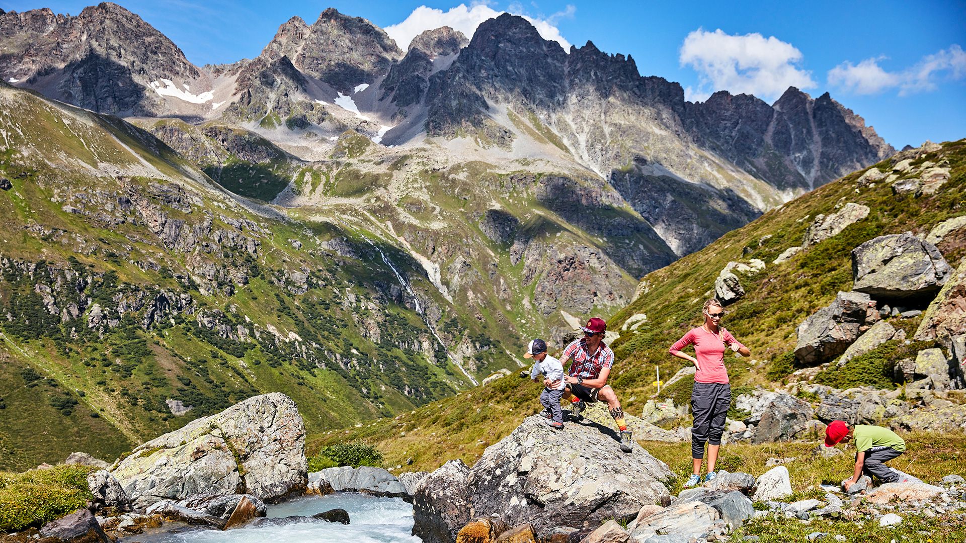
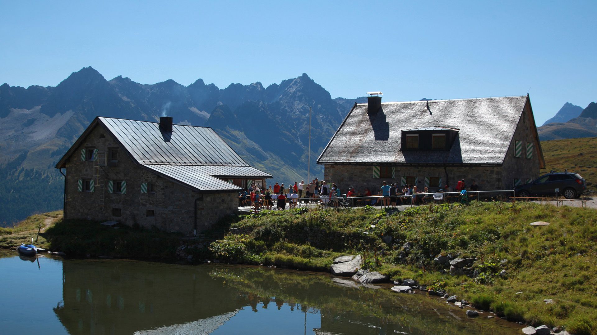
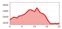
By car or by bus to Alpengasthof Zeinisjoch. From here the route heads slightly uphill past Verbella Alpe and along the crystal clear mountain lakes to Neue Heilbronner Hütte. The route then continues on to Friedrichshafener Hütte, along the crystal clear lakes, into Ochsental, where at the end of this section the short yet steep ascent to Muttenjoch begins. Here a superb view to the Gaisspitze (2.779 m), Grieskogel (2.641 m) and Fädnerspitze (2.788 m) awaits. Finally the descent continues to Friedrichshafener Hütte, where you will really have earned a break. Variante: those who want to can extend this tour and, via the Grieskogeljoch, ascend up to the impressive Grieskogel (2.641 m). Return section: the path to the car park at Friedrichshafener Hütte (bus stop Piel).
With the railway station in Landeck, the Paznaun is optimally connected to the Austrian train network. From Landeck-Zams station, only a short bus ride separates you from the Paznaun. Every half hour, line bus 260 runs from there through the valley. Bus stop: Kops Gh Zeinisjoch
Buses in the Paznaun valley | Region Paznaun – Ischgl


")


.jpg")


.jpg")


.jpg")
